Pictures and Reports from 2018 Walks

Saturday 29th December — Garbh Bheinn, Kinlochleven
The strong wind and heavy rain of the previous night had meant that only the really brave hearted optimists were prepared to commit to a walk on the hills on Saturday. Andrew and Gerry were joined by Kate, Jane, Gavin and Rick who were rewarded with dry weather, sunshine and only a little wind. It is true that Garbh Bheinn is steep unrelenting hill. It definitely helped burn off some of those excessive Christmas calories that most of us were prepared to confess to having consumed during the past few days. We made good progress and had reached an excellent sheltered location not far from the summit for our morning tea break.
During our way to the summit the sun started to appear and the clouds cleared from the surrounding hills. By the time we reached the top of Garbh Bheinn the views out over the Blackwater Reservoir and across to the Mamores were excellent. We didn't linger at the peak and headed ENE across gently descending ground to the small summit at 734m. From here we continued ENE down a broad ridge until the ground became so steep that we were forced eastwards before being able to descend safely down to the West Highland Way track and on down into Kinlochleven.
Although only a short day we all agreed it had been a rewarding, enjoyable assent and were thankful that it had remained dry all day. The coffee and hot chocolate at the Icefactor was excellent. A great place to end an excellent day.
Rick
Sunday 23rd December 2018 — Sgurr an Utha and Fraoch-bheinn, Glenfinnan
This was forecast to be the best day of the week, yet only two members booked in for the walk — and Alex decided to do something on Ben Nevis instead. However, two guests did appear as arranged at the Woollen Mill and the three of us, Andrew, Janet and Julia set off for Glenfinnan in Janet’s car. It was still dark and cloudy but halfway into the journey a promising patch of blue developed as the dawn broke.
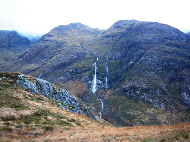
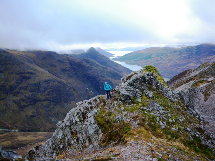
The plan was to do the walk as described in the programme. Gerry would come to the Fort later, pick up my car, do a shorter walk and meet us at Glenfinnan railway station. This would save a boring and unpleasant few kilometres tramping along the main road back to the start. We set off at a good pace up the steep track from the Allt an Utha bridge and soon reached the junction to turn off E up into Coire an Utha. Leaving the track and continuing up the steep rough slopes to Druim na Brein-choille slowed the pace a bit. Traversing N along this crumpled spur of rocky outcrops and tors we gradually gained height and the Small Isles, Skye and even the Outer Hebrides came into view below the thinning cloud base. Arriving at the col between the Corbett and its Top we turned W for a short climb to the summit of Sgurr an Utha. After a brief search in its vicinity, we located a few garnets. Peering over the edge down the plunging rocky slopes of the N aspect, we alarmed a pair of ptarmigan, which swooped into the glen on bright white wings. Heading back E over Fraoch-bheinn, we saw another pair, or maybe the same pair having returned to their high-altitude habitat only to be alarmed once more.
Turning SE we headed down the spur of Creag Dhearg and paused for some lunch whilst admiring the view of Ben Nevis standing tall at the foot of the mist enshrouded Loch Eil. Yet another ptarmigan was seen before we dipped below their reputed territorial frontier, the 600m contour. The descent steepened down to Tom na h-Aire, which afforded a birds-eye view of the famous railway viaduct. The final descent to the station was arduous, on steep boggy and tussocky ground. We arrived 5 mins after Gerry and went for refreshments at the NTS visitor centre — the much grander Glenfinnan Hotel was closed as usual in winter.
Andrew
Sunday 9th December 2018 — Sron an Isean, Stob Daimh and Stob Garbh
Firstly, a scholarly note about the spelling of the name of the central Munro, the Peak of the Stag: Stob Daimh or is it Stob Diamh? The writer of our programme hedged, using one in the title and the other in the text. The Ordnance Survey uses Diamh on its Landranger map and Daimh on the Explorer. Cambridge University Hillwalking Club thinks both are correct. A local Gaelic folk band call themselves Daimh (pronounced “dive”), leading me to think they were all blokes, but actually the lead singer is a woman. As these folk at least sing gaelic, whether or not they speak it, I conclude that “Daimh” is correct and that Gaels are not too bothered about spelling.
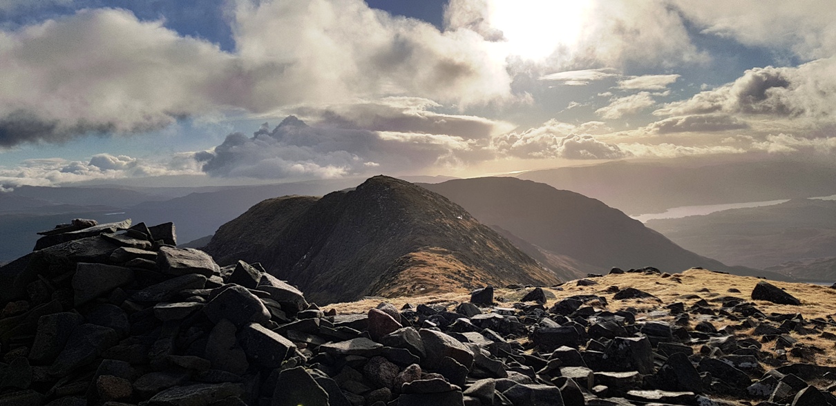
This is an iconic route, better known as the Dalmally Horseshoe, the first splendid view of which we saw whilst approaching in Glen Lochay on the A85. Andrew, Jane, Lindsay, Angela, Steve, Craig, Jeannie and Janet (guest) met at the junction of the A85 and the B8077. Some of us had descended the long approach track at Castles Farm on a recent Ramblers’ Walk and were not inclined to go up that way. We all agreed to do the ridges up and down anticlockwise and set off through the gate opposite the parking place. The footbridge across the Allt Coire Chreachainn marked on the Explorer map has disappeared, but another was found further downstream at NN1278429708. The weather was excellent, dry, cold, sunshine between a few clouds coming and going on the northerly breeze. Dry ground and no lying snow allowed a quick ascent with impressive views from the start. It was noticeably colder when directly exposed to the wind. The chill factor forecast was minus 14 deg. The advantage of a northerly wind is the sunny lee slopes for breaks and lunch. The hardest work was all done in the early part of the day with the steep ground easing to a magnificent ridge by above 700m. The drops between the three peaks were not onerous. In spite of a little mist we could see all of the other ridges and peaks of this huge mountain with its dominant summit Ben Cruachan. Heading down, the route was a sustained steep gradient all the way but slightly shorter than the way up. Some of us peeled off southwards, even steeper, to reach small dam across the Allt Coire Ghlas at NN113291, served by an extension of the track to the quarry. This was of no advantage. The other half of the party continued to the foot of the ridge and crossed the burn to reach the track without difficulty. We all arrived back at the cars together at 1500, with daylight to spare. Refreshments were taken in the recently opened Ben Cruachan Inn in nearby Lochawe village. This used to be known as The Tight Line and was closed for years, depriving the area of a suitable hostelry for post-walk socialising. We give it “Thumbs-up”.
Andrew
Photo from Steve:
Photos from Lindsay:
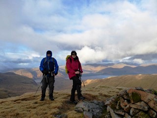
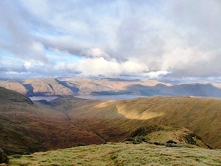
Saturday 1st December 2018 — Beinn Trilleachan, Glen Etive
Waking to a dark wet morning, I was not alone in contemplating turning over and going back to sleep on Saturday morning. However, the knowledge that other club members were going helped to overcome my initial reluctance.
Rick, Jeannie, Kate, Fiona and Chris piled into one car and headed off down the narrow, twisting, uneven road to the head of Loch Etive. The drive through Glencoe had looked more promising than the forecast suggested with the cloud base only just touching the summits and a light cover of snow to c700m. Leaving the car in the small car park we headed up the side of the forest where the path and the burn seemed interchangeable. We turned up the NE ridge of Meall nan Gobhar working our way between the exposed granite rocks and slabs which, provided you avoided the green bits, gave a good grip. A brief elevenses stop with views back up Glen Etive from the braided river as it entered the loch to the Buachailles near the entrance with the classic U-shaped glen between them.
We soon reached Meall nan Gobhar, its view dominated by the mighty Ben Starav across the loch. Our summit lay to the west and looked to be a pleasant stroll across the snow and rock to be in time for lunch. Perspective matters. We quickly found the line we had planned falling away rapidly with granite slabs and a mix of snow and water underfoot. Equally quickly we retraced our steps and headed down to the NW and worked our way on the vegetated areas beneath the granite rocks and slabs. Our intended path recovered, we made the steady ascent to the summit of Beinn Trilleachan under a threatening sky and a couple of inches of snow. Eventually after several false hopes we came to the summit cairn in time to see the view, framed by dark cloud, out to the west of Mull beyond Appin and Morvern beyond Lismore.
We had lunch just below the summit and set off back the way we had come watched by a raven and a ptarmigan, well camouflaged in grey and white plumage. The cloud began to envelope the hill behind us but was moving slowly with only a light wind. With the perspective of looking up the slope we were able to climb more directly back up onto Meal nan Gobhar, but then, forgetting Rick’s warning on the way up to keep left as we descended to the forest edge, we allowed the perspective to “pull” us right. We ended up having to pick our way down between rock exposures and rough grass, but made it just before the promised rain come through.
A coffee and free mince pie at the Claggan rounded a good day off and all agreed that it had been worth the effort to fight off the duvet in the morning.
Chris
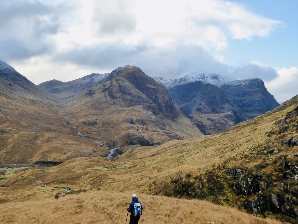
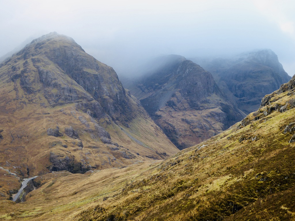
Sunday 25th November 2018 — Am Bodach, Glen Coe
A reasonable weather forecast for the short but steep ascent up Am Bodach saw the hardy group of Andrew, Gerry, Trl, Fiona, Kate, Rick, Jane and John set off at a strong pace.
Good time was made up the steep but well trodden path with a brief break not too far from the summit for a welcome bite to eat and a warming drink. Sadly the reasonable weather forecast didn’t play out and as we gained height the wind was very blustery and pretty cold but we were soon at the summit. Unfortunately the visibility was not good. Trl and Andrew kept us on course but sadly we didn’t get the views from the high point.
Heading along the planned route towards Sron Gharbh encountering patches of snow we managed to find reasonable shelter from the wind for a short lunch break before heading for A’Chailleach and dropping down to the Old Military Road.
As we lost height we were rewarded with stunning views up Lairig Eilde before tracking west avoiding the main road to drop down to the starting point.
Our early start to compensate for the shortness of daylight worked against us as the Aonach Eagach ridge was bathed in sunlight as we reached the car park at the end of the day. Anyone up there would have had terrific views along Glencoe.
The group headed off for the comforts of the Boots Bar at the Claichaig Inn for well deserved refreshments and a warm by the wood burner (hot chocolate with all the trimmings is well recommended) rounding off a successful day.
Jane

Photos from Lindsay:
Saturday 17th November 2018 — Geal Charn, Laggan
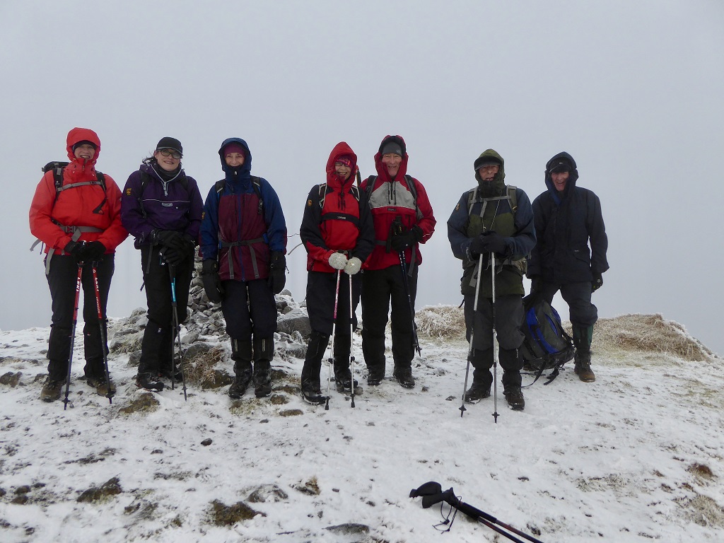
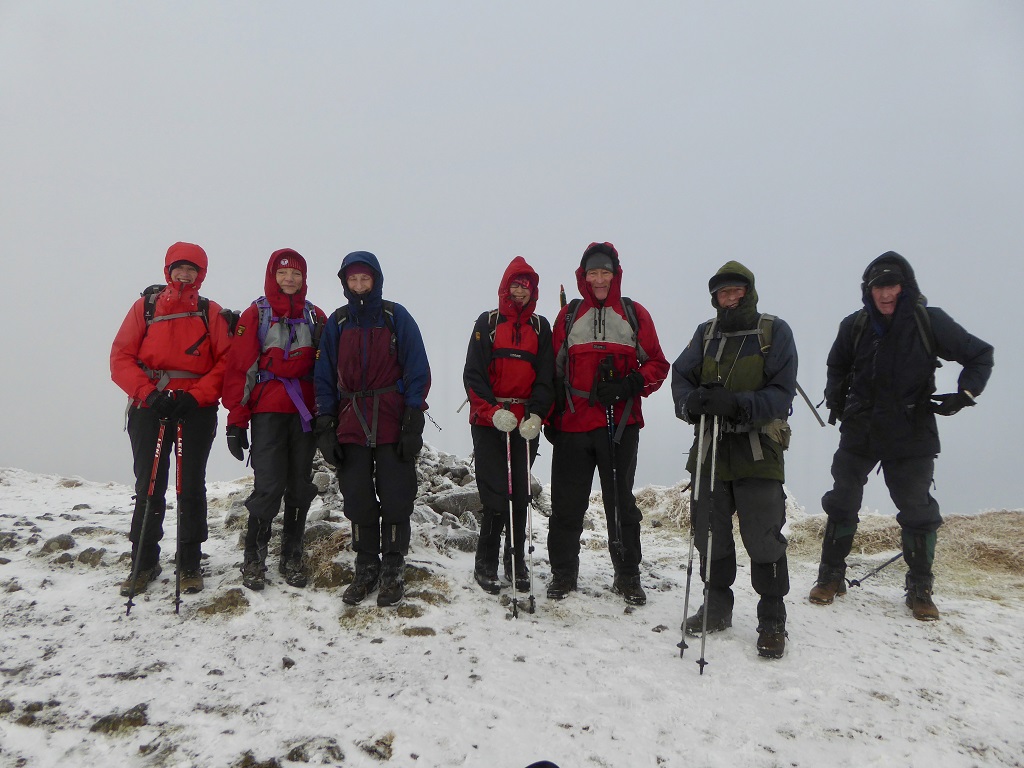
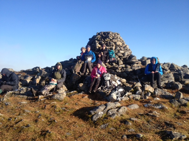
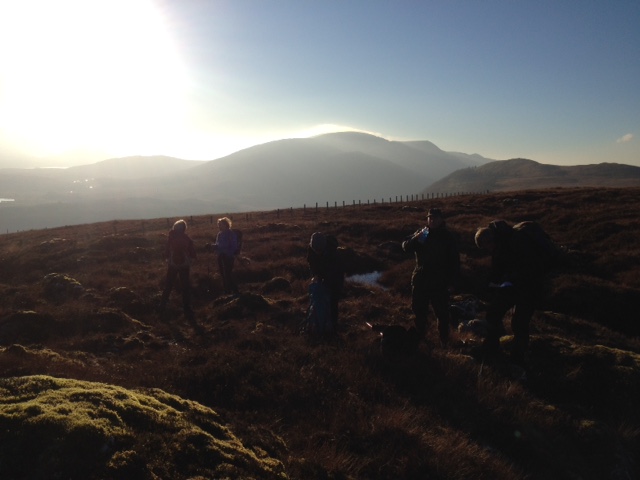
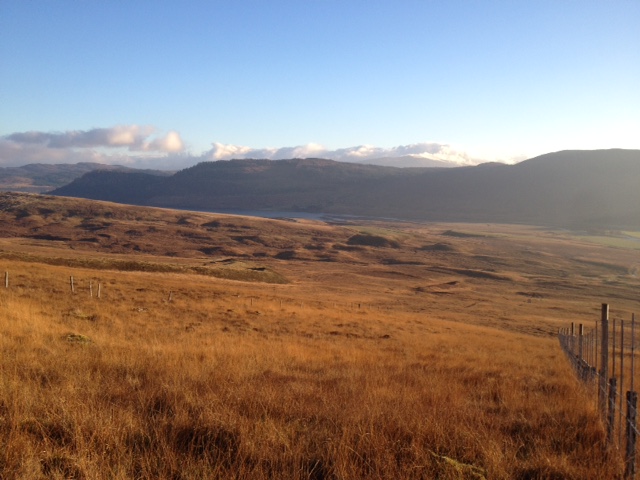
Eleven walkers out: Andrew, Gerry, Craig, Fiona, Angela, John, Kate, Chris, Steve, Gavin and Jane(?).
Photos from Angela: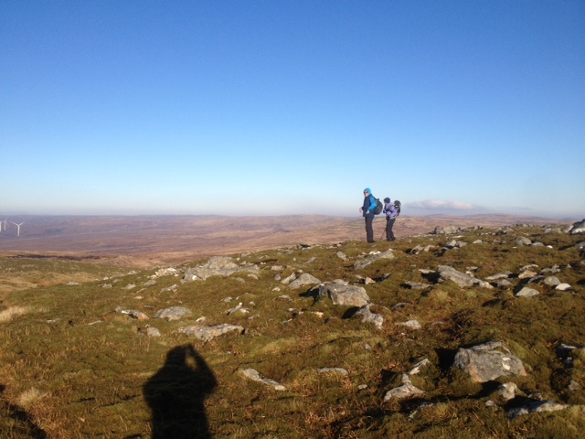

Sunday 11th November 2018 — Sron a’ Choire Ghairbh
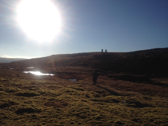
A good turn-out of ten walkers for this Munro by an unusual route (no surprise there & mdash; it's Nevis Hillwalkers!). Andrew, Gavin, Willie, Kate, Jane, Angela, Craig (new member), Lindsay, Kev (all the way from Northumberland!) and I met at Laggan locks on a fine day with the cloud just above the tops. We turned off the road after crossing the Kilfinnan Burn and headed uphill steeply. This was hard going through heather and rocks for about 150m of height. It became craggy as we approached Meall nan Dearcag, but were then on the ridge leading to the Munro some three or four km distant. Unfortunately, we could see that the cloud had come down on to the tops and as we climbed higher we lost the views. After a break at the summit, we went NW to go round Coire Glas, except for Kev who had opted to include Meall na Teanga (a Munro) and would return via Cam Bhealach. The undulating walking here on the ridge was easy on short grass, but now we had to contend with rain and a bitterly cold wind. As we lost height on Meall a’ Choire Ghlais, we came out of the mist and could see our way ahead. To our NE was Ben Tee (a Corbett) where Gavin was now headed and about 300m below was an undulating area of bog and heather that stretched for about three or four km that we had to cross. However, before that there was a descending narrow ridge which was fairly easy. But it suddenly came to an abrupt end, leaving us with a very steep drop on heather, patches of grass and loose rock before we reached the glen floor. That was slow and tricky, but we all made it. We then started across the boggy area avoiding the peat hags, and saw a small herd of deer disappearing over the horizon. Part of the way in, we met Gavin, he having climbed Ben Tee. We split into two groups and followed the Allt a'Choire Ghlais to a point above the Kilfinnan Falls where we joined a path (did I mention that the route had been pathless until then?) that led down to the road where we were joined by Kev (great timing!) and the cars.
Coffee was going to be taken in the Commando Bar in Spean Bridge, but, being remembrance Sunday, the place was full of men in uniform, so we decided to retreat to Costa in Fort William.
PS. In the future, Coire Glas is planned to be the site of a new pump storage hydro-electric scheme, so its character will then undoubtedly change considerably.
John
Photos from Angela:

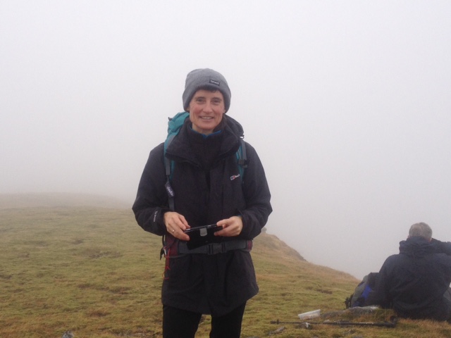
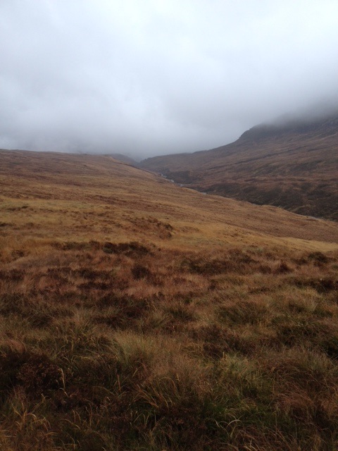
Sunday 28th October 2018 — Carn Dearg (Ben Nevis) by Surgeon’s Rib
In an area awash with tourists and holiday hillwalkers it is rare to do a hill that one doesn’t have to share with anyone other than your own party. It comes at a cost but Nevis Hillwalkers have a reputation for doing hills the hard way. Carn Dearg (S) has several hard options but no easy ones. It stands there stubbornly, as if to say “climb me if you dare”, even forcing Glen Nevis itself to deviate through 90° to get past it.
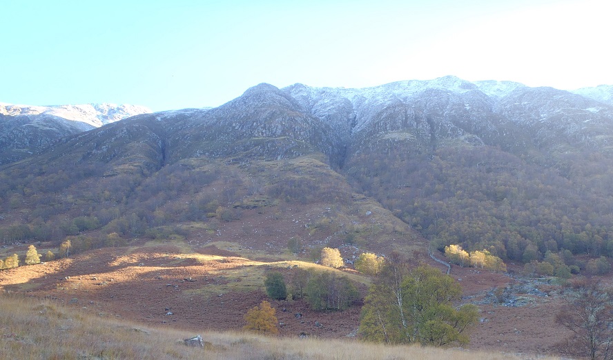
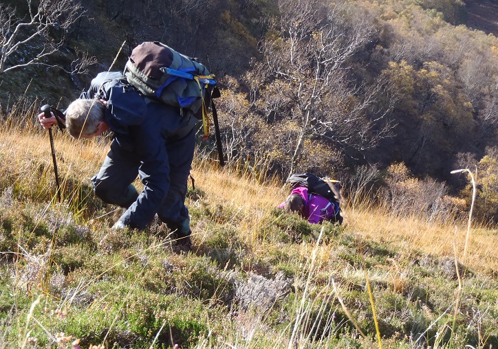
Ken, Jeannie, John, Rick and Andrew set off from the Youth Hostel fully kitted for a great winter’s day out with a blue sky and sunshine. The only cloud to be seen was sitting on top of Ben Nevis. The only easy bit was the 2km along the river to the foot of Surgeon’s Rib. As we turned uphill the slope steepened rapidly. We struggled through bracken, still standing, although in various shades of russet, as were many of the tree and bushes in the Glen, a fine autumn scene. Above the bracken it was easier underfoot but even steeper until we arrived at a buttress astride the ridge at about 400m. Just to the right was a grand view into the awesome gash of Surgeon’s Gully. Straight up from here is a grade 3 scramble. We avoided this by a long deviation to the left on ground so steep that we could not see what was below and could only imagine it was even steeper if not vertical. The rising sense of exposure was accentuated by patches of snow now appearing making the going potentially slippery. In due course we located a shallow sunless gully with icy-cold wet rock to scramble up — a grade 1 route which led back rightwards to the crest of the buttress we had avoided. Onwards and steeply upwards was not quite a walk in the park, more minor scrambling, but some of it dry in the bright and now breezy sunshine. The whole of the remainder of the route up was now in view, an impressive sight, patches of snow merging into continuous cover with jagged rocks protruding. The final scramble up a steep arête to the col presented some route finding difficulty. John, Jeannie and I headed up a steep stony snow-filled gully on its shaded left side. Rick and Ken displayed more patience and were eventually rewarded with a satisfying finale in the sunshine. We all reached the summit after 4½ hours at 1300 for lunch.
After some discussion we decided to go down by Coire Eòghainn. The autumn sun never reaches the floor of the upper corrie, which presented a very wintry scene. The lower corrie, in contrast was sheltered from the cool breeze and in blazing sunshine, prompting removal of some clothing layers. The exit from this hanging valley is unrelentingly steep. In addition, the underlying rocks are slabby and wet, to be avoided where they protrude from the soil cover, more likely the closer one is to the tumbling water-slide of the Allt Coire Eòghainn. We staggered into the Upper Falls carpark at 1515, limbs aching from hours of wrestling with gravity. Gerry was there with her car to ferry us in two loads back to the Youth Hostel, thence to the campsite restaurant for coffees.
Andrew
One of the shortest, yet hardest walks that I have done recently. 900m ascent straight up (well in about 2 km) and 840m straight down in about 2 km again. Two days later and my muscles are still complaining.
John
I went up a similar route the following day, but instead ascended by the stream that descends five finger gully. There is a good waterfall where the stream exits the corrie. After that I turned right and followed the right hand edge of the corrie until it joined the Surgeon’s Rib route. Here I saw the footprints of the others. I don't recommend my route as it’s even steeper than Surgeon’s Rib and at times I was scrambling up rocks by pulling myself up by heather roots. Definitely not recommended!
Gavin
Photos from Ken:

Saturday 14th October 2018 — Meall nan Tarmachan
Seven people out for this walk: Lindsay, Kate, Andrew, Gerry, Fiona, John and Angela.
Photos from Lindsay:
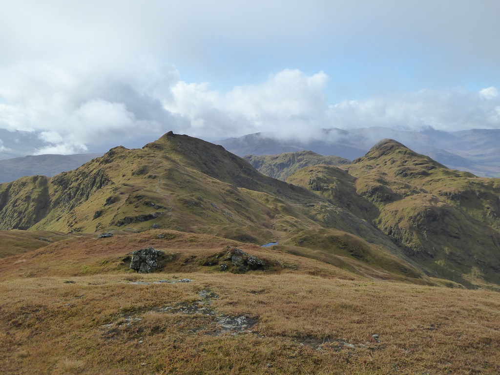
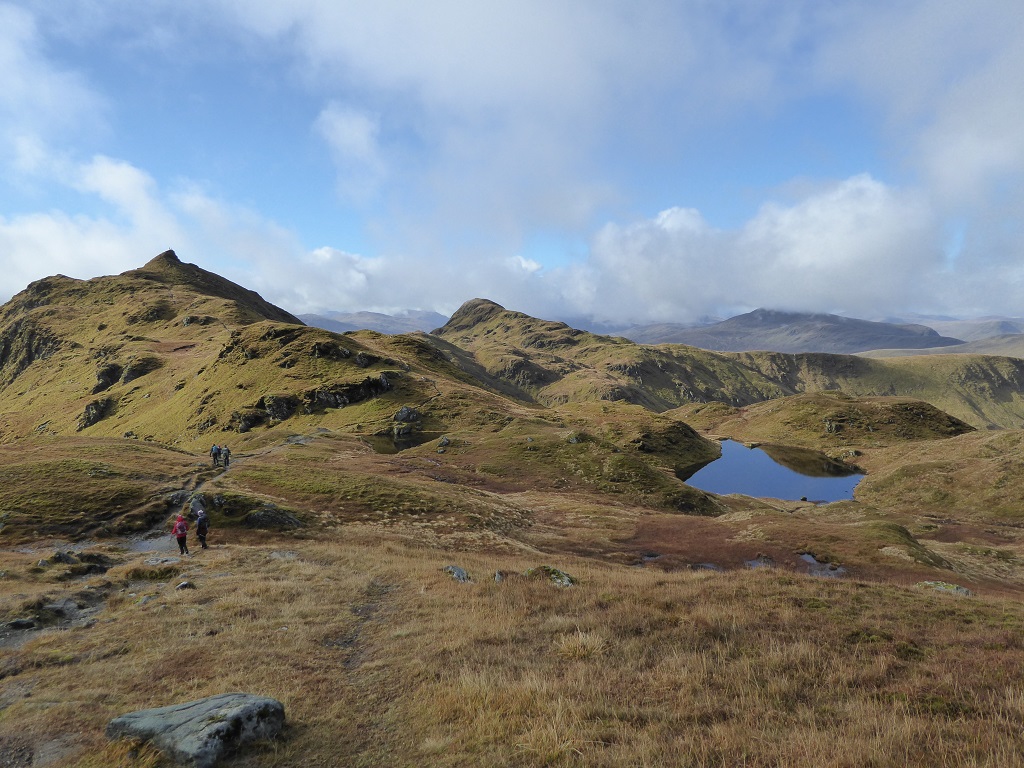
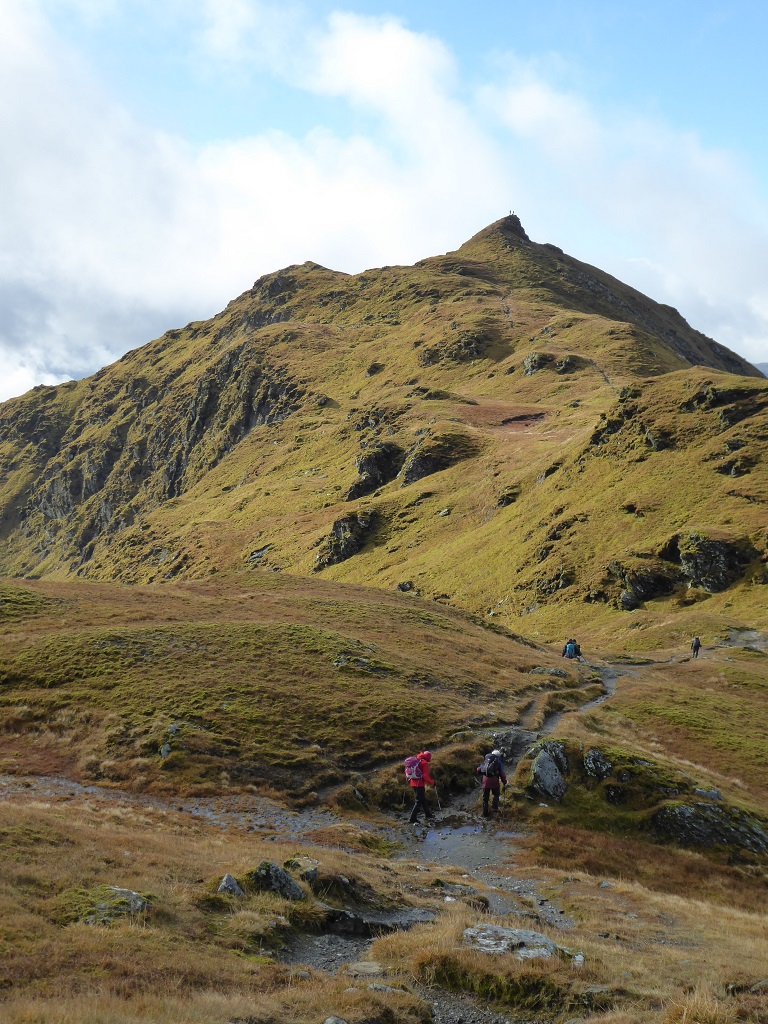
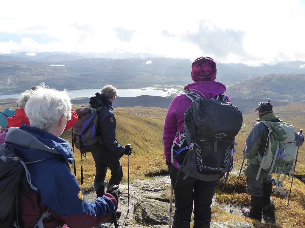
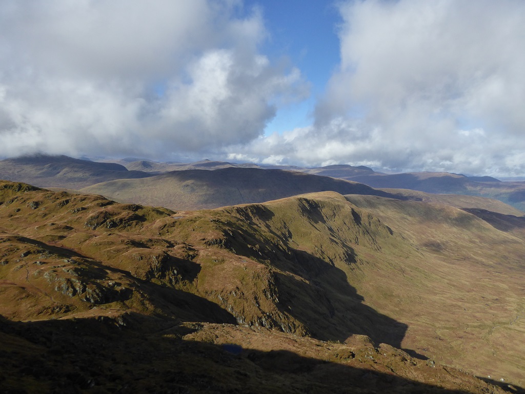
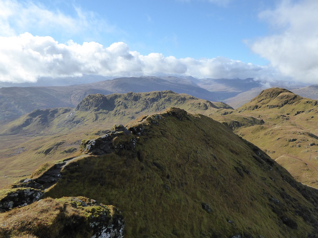

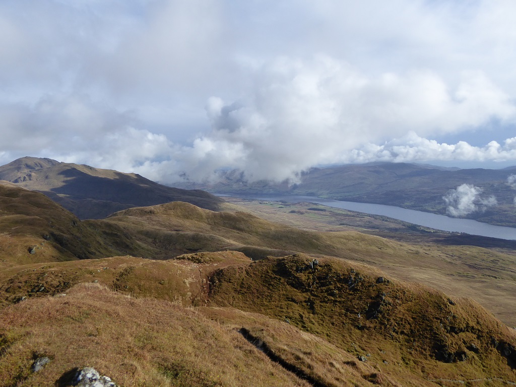
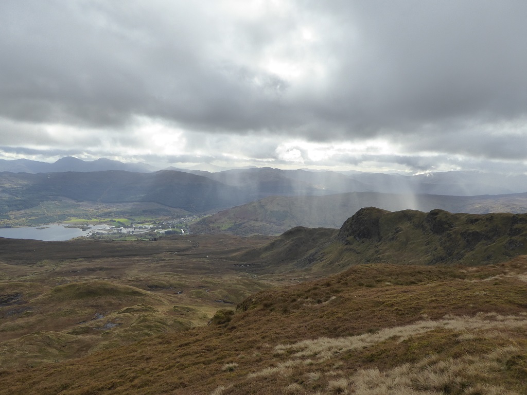
Saturday 6th October 2018 — Chno Dearg and Stob Coire Sgriodain
This day was forecast to be sunny, dry, great visibility and a moderate breeze. What more could one ask for? Well, it was the only decent day for the week past and the week to come. There would be a mad scramble for seats on the train to Corrour. A third carriage would be required perhaps.
But not. I arrived early at Fort William station. About a dozen folk in outdoor attire were waiting but none was a Nevis Hillwalker. I swithered. The train had pulled in. Maybe I had missed a dramatic breakfast-time revision to the forecast. Should I buy a ticket? I risked it. Only a single anyway - £4.60. Gerry was going to the Fort later and would take my car to Fersit. Just then, Gavin burst through the door and we made for the train.
Just before it set off Fiona boarded, followed by Craig from the Ramblers. He had a return to Bridge of Orchy, intending to do Beinn Mhanach. We offered him the fifth seat in my car for the return to Fort William and he changed his plan. At Corrour, about half the passengers in the train alighted. It must be the busiest station on the line.
The crowd dispersed in all directions, some folk at an impressive speed. The weather was as good as the forecast but rather cold in the 15 knot breeze at our altitude. At the railway overbridge we caught up with Erin, a student at Lochaber College. She was intending to do the same hills and finish at Tulloch for the afternoon train back to Fort William, so we walked on together.
We had barely left Garbh-bhein behind and Gavin was showing signs of boredom with the pace when he announced that he would press on and do the Easains as well. Under interrogation he admitted it was a substantial addition to the planned route but would aim for the 2120 train from Corrour or descend into the Lairig Leacach and head for Spean Bridge. Off he went and was soon just a speck on the slope up to Meall Garbh. We offered the spare seat in the car to Erin who gratefully accepted. Thus relieved of the need to hurry to Tulloch for the 1540 train she was able to relax in the sunshine every time we stopped near the top of a south-facing slope. Elsewhere the breeze was keen and kept us going at a reasonable pace.
The views were splendid all round and the visibility excellent, with enough cloud here and there to give depth and atmosphere to the scene. Between the two Munros we met a man and his dog and on the summit of Stob Coire Sgriodain, a lady from London with her Ecuadorian husband. Someone passed at speed heading for Corrour. Nobody else visible in this grand landscape. We descended the craggy N aspect of Sron na Garbh-beinne onto the moorland below and followed a tenuous boggy path by a tumbling burn to Fersit and arrived at the car at 1635. Thence to the Stronlossit for refreshments and return to Fort William. Suzanne rang at 1830 to report Gavin’s arrival at home via Spean Bridge.
Andrew
Sunday 30th September 2018 — Dun da Ghaoithe, Isle of Mull
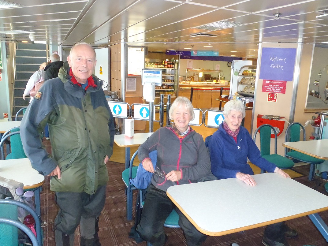
Four of us on this outing – Gerry, Andrew, Liz and Ken. The day started with coffee and morning rolls on the ferry – a great way to start any walk! From the ferryport at Craignure we walked along the road to Torosay then headed up the track to the radio masts, continued up to Mainnir nam Fiadh and then along the ridge to the summit of Dun da Ghaoithe – the only Corbett on Mull. The weather was bright, but windy and with frequent heavy showers and some hail. We backtracked to the col and down the steep slope to pick up the indistinct Maol nan Damh ridge to a gate in the deer fence beside Scallastle River. From here we joined the tourists on the pleasant Scallastle Forest Walk back to Craignure.
Ken

Saturday 22nd September 2018 — Glen Shiel
We watched the weather forecast deteriorated as the week progressed until 45mph winds and snow showers at Munro level were predicted for the Saturday. After a review of options and a discussion on the Friday we decided to still give the walk a go.
Angela, Jeannie and Chris set off from Glen Shiel on the good stalker’s path up to the Bealach na Craoibhe in a mix on sun and cloud. The view of the Forcan ridge was impressive from the bealach with its jagged spine rising away in front us. We continue round to the next bealach between the Ridge and Meallan Odhar. Here we had to make a decision on whether or not to attempt the Ridge. The weather and the wind were OK at this point but the forecast was still for a deterioration as the day wore on and we decided to leave the Ridge for a better summer’s day. The party ahead of us had split with three going for the Ridge and two opting for our route.
Walking beneath the Ridge now with the blue sky above and, of course, sheltered from the wind by it, we did have second thoughts. However, these soon disappeared as the first of the hail showers hit us ten minutes later and we felt we had made the right decision. A steady pull up from the Bealach Coire Mhalagain to the Saddle on a rough path and over a boulder field followed. Why did someone build a section of dry stane dyke here? The top of the Saddle lay beyond the trig point and involved a small scamble. Here we stopped for lunch in the shelter of the top watching the three from the party who had been ahead of us appear and disappear as they made their way slowly along the Ridge.
A second longer hail shower hit us as we came off the summit and we were even happier not to have been on the exposed part of the Ridge at this point. The last time we saw the other party they were safely over the tricky descent section and heading to the summit of the Saddle.
Returning to the Bealach Coire Mhalagain we climbed up the intermittent path to join the sweeping slope leading round the Coire Toiteil to the summit of Sgurr na Sgine. Here the view opened up to look eastwards along the South Shiel ridge, south to Knoydart and Sgurr na Ciche, which the three of us had climbed together two weeks previously, west to Beinn Sgritheall and north to the Five Sisters of Kintail (and all their cousins).
A pleasant walk along the top to the point of Faochag, a dominant feature of the hill when see from Glen Shiel and time to chat without running out of puff. Our thoughts of an easy descent back to the car were not to be realised; knees and thigh muscles complained loudly at having to drop 700m in c1200m! Fortunately Angela found the bridge otherwise a tricky and definitely wet burn crossing, 500m from the car, would have given a further cause for complaint.
Despite the descent at the end and not doing the Forcan Ridge, it was a great day in the hills in a beautiful part of the West Highlands with a rainbow or two thrown in and a golden eagle soaring effortlessly over Faochag at the end as the icing on the cake.
Chris
Photos from Angela:

Tuesday 11th September 2018 — Otter Evening
Ten Nevis Hillwalking Club members gathered in Inverlochy for an evening of Otter information. We were joined by our guide, Mary, who is a local environmental specialist. Unfortunately, the evening was rather wet and we had also coincided with a high tide. So any animal prints had been washed away and so were any otter droppings which are called ‘spraints’. There had been some very good otter prints under a bridge earlier in the week. When we came to the bridge that evening, the tide was washing over the top of the bridge. So, any otter prints had been washed away.
Our speaker had brought a very helpful diagram of the different animal prints which showed fox, dog, mink and otter. She also showed us a photo of a spraint. We were also made aware of different tracks which could have been made by an otter. This now gives us some very good information for spotting the whereabouts of otters for when we are walking in better weather conditions and not being turned back by a high tide.
Suzanne
Saturday 8th September 2018 — Loch Arkaig
After the drive on one of my least favourite roads along Loch Arkaig, seven of us, Chris, Wesley, Jeannie, Angela, Tamara, Jane (both guests) and me, set out on the excellent estate track (almost as good as the road!) into Glen Dessarry. We left the track at Upper Glendessarry on to a clear path as far as Allt Coire nan Uth where we left the main path to go steeply north up the ridge of Sgurr nan Coireachan. The weather was fine and we anticipated good views at the summit. Having done these hills before, I had already intimated my intention to only climb that one hill. I had let the other six go ahead of me as I was slower and expected them to be gone by the time I reached the top. However, they were there when I arrived. We were not disappointed as the views were extensive. After a short break, we all left together with me at the rear again. Being new to the club and the Scottish hills, Tamara decided the join me and only do the one hill after examining the dyke that led from the col up and over the ridge. The descent to the col, Bealach Coire nan Gall, was also steep. Then I started my pathless descent south down the coire to the west of Sgurr nan Coireachan and was soon joined by Tamara and Jane, who had also decided that one hill was enough for her initial walk with the club. The going was quite easy over a mix of rock, grass and heather and we soon reached the path in Glen Dessarry. As we knew that we were going to have a wait back at the cars for the other four to do the other two Munros, we decided to make a small detour and join the path going through the forest. This turned out to be a good route as the path soon tuned into a track, and after a while, we came out of the forest and into sight of a' Chuil bothy. We now had the choice of continuing on the track past the bothy into another block of forest and eventually out to Strathan, or trying to find the bridge over the river and following a path to Upper Glendessarry. We chose the latter, and after a short search found the bridge and joined the track for the 4km walk back to the cars. Fortunately, Jeannie had given me her car keys to give us somewhere to wait for the others, as the wait turned out to be longer than we had anticipated, and the midges were bad.
Although a board at the start of the track stated that the estate's main income was from stalking, we never saw any deer (except one stag on the road back) and the only wildlife was a few frogs and of course, the dreaded midges!
John
A group of seven set off on a sunny morning from the end of the long winding road along Loch Arkaig into the wilderness of Glen Dessary and Knoydart. Members John, Wesley, Jeannie, Angela and Chris where joined by Jane and Tamara as guests for the day. A long walk in was made shorter by plenty of chat and catching up before the hard work of the first ascent up Sgurr nan Coireachan began. The weather was much better than expected and there were a few mutterings about packs full of extra clothing and waterproofs. We all made it to the top and enjoyed the stunning views into the heart of Knoydart and back east along the snaking ridge to Sgurr Mor while eating lunch. The route along the ridge to Garbh Chioch Mhor looked both interesting and a little daunting as the path fell away into the bealach that seemed miles below us. From this bealach we separated with three descending back to the glen below and four beginning the climb back up to the ridge. The path up the ridge was easy to find as it followed the stone dyke build by some hardy folk in the past along the watershed between two estates. It was harder underfoot wending its way between rocks and crags and took a bit longer to traverse than expected. Eventually Wesley, Jeannie, Angela and Chris reached the high point of the ridge but only after the cloud that we had been watching build from the south, enveloped the summit. No longer able to see our final peak we had to descend into the thickening mist along the line to the dyke. The descending path become steeper and more tricky and required the use of the “fifth appendage” on occasions. As we reached the next beallach, the voices we had heard on and off in the mist emerged and we exchanged greetings with a dozen or so walkers up from Dumfries. Encouraged by them and following their lead, we left the rucksacks at the bealach and headed up Sgurr na Ciche, highest point of the day at 1040m only 200m above us. Never use the word “only”! The damp cloud that had enveloped us now decided to become a rain cloud, the wind picked up and the 200m ascent was steep and wet. We all made it but saw nothing of what must have been a spectacular view over the Small Isles. We were wet and cold by the time we returned to the bealach, no longer muttering about the extra clothing we had packed, keen to rejoin the rest of the party at the car and maybe even manage a coffee together. A little ambitious perhaps, as we had again underestimated our time to make the return journey of some 12km. The initial descent from the bealach followed the burn down, so again navigation was straightforward but the burn itself descending through a narrow gorge. It was certainly atmospheric in the mist, like something from the Lord of the Rings, but very tricky involving scrambling down over slippery rocks, crisscrossing the burn trying to find the best route. Once out of this section the rest of the walk was uneventful but long as the cloud began to clear and the light began to fade. We reached the car park some 11 hours after beginning the walk and three hours after John, Jane and Tamara had returned. It had been a challenging but great day in the hills at the edge of Knoydart and definitely somewhere to return and explore some more but maybe on a long, dry summer’s day next time!
Chris
Photos from Angela:
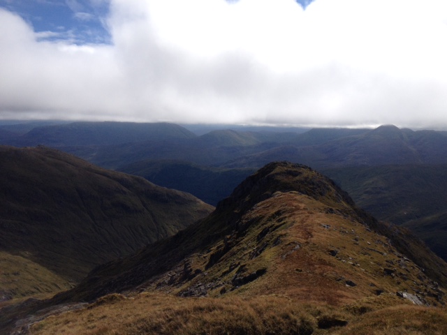
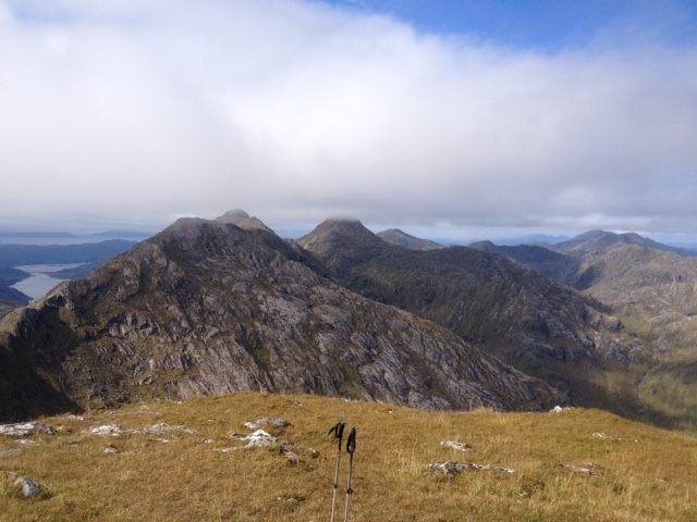

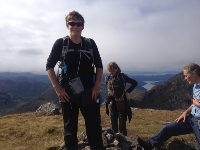
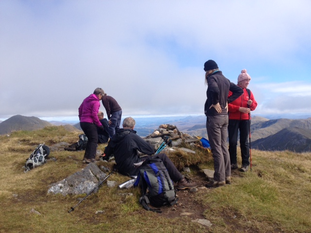
Photos from Chris:


Saturday 1st–8th September 2018 — Skye week
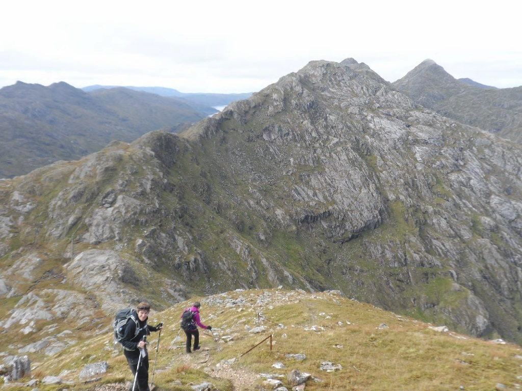
14 members went to Skye in September. Most stayed the whole week and some for a few days. We occupied 2 cottages near Portnalong but ate together each evening. Most folk contributed to the meals and the cuisine was very varied! The weather was mixed with the usual wind, rain and glimpses of sun but we managed some great walks both low level and on the high peaks and there was something for everyone.
In summary we conquered 4 Munros and one nearly Munro, 2 Grahams plus a top, six low level scenic walks and three lesser hills and a high coire. Clare visited several geocaches and Cris did some signpost checking for Scottish Rights of Way.
Here are some of the highlights:
The first full day on Sunday saw 9 of us walking out to Waternish point and lighthouse. This is an area full of violent history of clan battles and massacres. It was dry walk out but the promised rain arrived as we ate our picnics by the lighthouse, watching the gannets diving for their lunch. A headwind and driving rain made for an arduous walk back!
Monday was a big day. Steve did Sgurr nan Gillean. Andrew, Gerry, Rick, Clare, Robert and Mary did the circuit of Fionn Choire over Bruach na Frithe and Sgurr a Fionn Choire and descending Sgurr a Bhasteir. Suzanne, Diane, Charlotte and Rob explored and ascended the Storr.
On Tuesday 7 people managed Sgurr na Banachdich from the coire. Andrew, Rick and Kate then carried on along the main ridge to An Dorus. Clare, Robert, Mary and Gerry descended Coire nan Each.
Wednesday turned pretty wet and windy, some opting for a walk to the coral beaches and Dunvegan castle (with café). Beinn Tianavaig was attempted by 2 others but they turned back not far from the summit because of the wind.
Windy again on Thursday but drier than expected so Cris, Clare, Rob, Robert and Steve did the 11 mile walk out to Macleod’s Maidens, getting good views over to the small isles and Outer Hebrides. Andrew, Rick, Gerry and Kate tackled Healabhal Mhor, one of Macleod’s tables. Again a great view point.
Friday the tops were in thick cloud but Andrew, Rick, Gerry and Kate set off for an ambitious walk over Sgurr Dearg, intending to continue to Sgurr Mhic Choinnich and descend into Coire Lagan. Sadly the rock was wet, slabs slippy and visibility terrible. Cowering under the In-Pin the plan was changed and descent was made into Coire na Banachdich instead. The more sensible people explored the coast around Talisker, Fiskavaig and Oronsay.
Various other half day walks were done on days of arrival and departure.
The crowds and traffic were pretty bad at times but there’s still plenty of places to go to avoid other people. Skye will always have something to offer.
Gerry
Monday 3rd — Bruach na Frithe
We decided on the shorter walk-in for this peak which meant parking in Glenbrittle. Forewarned, we arrived at the “Fairy Pools” car park before 0900 to grab the last 2 places. Work is ongoing making a new large car park with parking fees of £5.
The walk up to the bealach was no problem. Gone is the boggy trot of years ago, replaced by a decent made up path. The NW ridge is fairly straightforward giving scrambling easy and hard which can mostly be avoided when you want to. We looked down on several parties on the rough path in the corrie. Looked like hard work. The summit was busy. Easy access from Sligachan means this is a popular hill. We headed off down the main ridge and around Sgurr a Fionn Choire. Some of the party summitted this fine crag. The mist was coming and going around the Bhasteir Tooth giving lots of atmosphere but limiting the views of this impressive scenery. We regrouped and went along the ridge to Sgurr a Bhasteir, quite an airy traverse but not technically difficult. We picked our way down the N ridge, avoiding the many steep rocky sections and finally a traverse over the moor back to the outward route. The car park in Glenbrittle was still busy, with vehicles left on the verge in all directions. What a mess! Tourists galore even at that late hour — the midges were having a field day.
Gerry
Monday 3rd — The Storr
Diane, Charlotte, Suzanne and Rob set off up a well laid track up hill and then passed through a gate. We were then met by quite an eroded section but were rewarded by the most amazing rock architecture of the Old Man of Storr and surrounding rock creations. There were many visitors in this area who had on some very interesting footwear.
At the top of this section, we stopped for a bite to eat in quite a strong wind. A good midgey defence! The wind then died so our break was cut short but we then had quite a surprise. A young man came past wearing a kilt and carrying a wee case. He got out out the contents and assembled his bagpipes. He tuned up and proceeded to play different tunes. His aim is to play on certain high points in the UK. We were then serenaded along our next path which lead in westerly direction alongside the Storr. It was a delightful path and we enjoyed some good sea views.
We then turned up hill and got to the summit of the Storr. A great place for lunch which turned out to be a moveable feast due to the 'wee beasties' — the dreaded midges. We then came down in a southerly direction to find a path besides a burn which would have been a good descent route. This was not to be as on closer inspection a little further down, some boulders had fallen across the path and were going into the burn. The intended route was also quite steep. So, we baled out and contoured around the hill in a south westerly direction and then joined our original delightful path and made our way down the hill and back to the car park.
Suzanne
Wednesday 5th — Duirinish Peninsula
Suzanne, Mary, Clare, Diane and Robert set out to the Coral Bay along the road to Claigan. The short walk is along a clearly defined path that skirts up the peninsula to reveal a beautiful white beach. The coral is actually dried calcified seaweed called maerl. It was interesting to note that the size of the fragments got coarser as we went towards the waterline. The ascent up the wee hill of Cnoc Mor a Ghrobain was rewarded by lovely views across the bay and to Waternish although they were interrupted by a quick shower. Clare was also rewarded with a few geocaches along the route and educated us on them!
We then headed to the home of the Macleods, Dunvegan Castle. The crowds were plentiful despite the rain and we started with some lunch and a coffee before braving the elements. The castle gardens were spectacular. They are not too vast (5 acres) and segmented into areas all of which were still in bloom. A lot of effort has been put into them over the past 30 years and it has paid off. We all enjoyed the splendour of them. The castle itself was also a treat. It has been continuously occupied by the same family for over 800 years and has undergone several additions since the 1200’s.
The Macleods of Harris, Dunvegan and Glenelg are the clan that have lived here and are not to be confused with the other Macleod’s of Lewis were formed by his brother back in the 1200’s. There was evidence of current occupation as well as some renovation - this must be an expensive place to run! The tour takes you through a number of rooms that are decorated with some stunning portraits of the Clan Chief’s and their wives. We learnt via one of the attendants that some of the clan chiefs had two wives (both had portraits and created some confusion) due to their early deaths. Like all good families stories there are acquisitions of murder in the case of the 22nd Clan Chief who si also known as the Wicked Man. He had a rocky relationship with this first wife and is thought to have starved her in one of the dungeons of the castle! He also played a role in the kidnapping of Lady Grange who was to tell tales on her husband about the Jacobites and found herself in various places including living in a cleit on St Kilda for 5 years!
We caused a traffic jam in one of the smaller rooms where there was a family tree - they are up to their 30th Clan Chief and much to our surprise have had two females Chief’s one in 1935 and the other Mary back in the 1500’s! Working out the lineage was fun as sometimes it jumps from generation and back up to the past generation as they ran out of descendants!
The fairy flag is on display there are is supposed to have magical qualities when being unfurled in battle. The Macleods also owned St Kilda and regularly visited the island to collect rent and exchange goods/supplies. There was the promise of an exhibition and whilst there was one it was only one wall of items and some photos - a disappointing reflection of the island and its own history. The other thing that was missing was the story of the family and their role in the history of Scotland. We then headed off for a lovely afternoon tea in the Blas cafe in Dunvegan where we all reflected on an enjoyable visit with the unanimous highlight being the gardens.
Diane

Saturday 25th August 2018 — Bidean nam Bian and Stob Coire Sgreamhach, Glen Coe
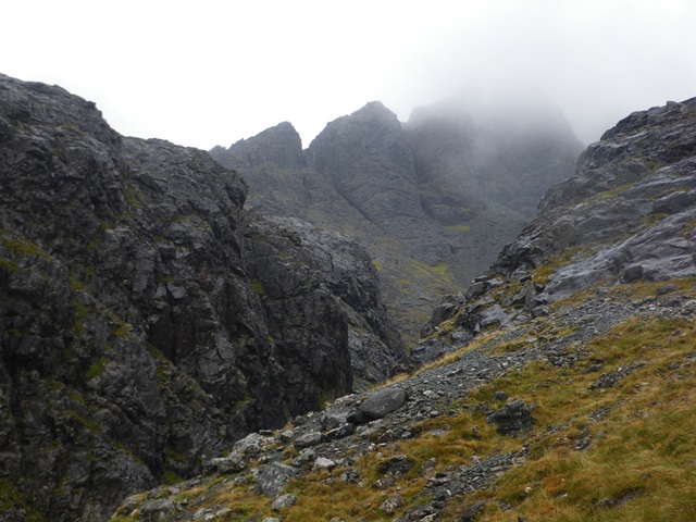
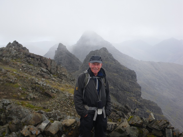
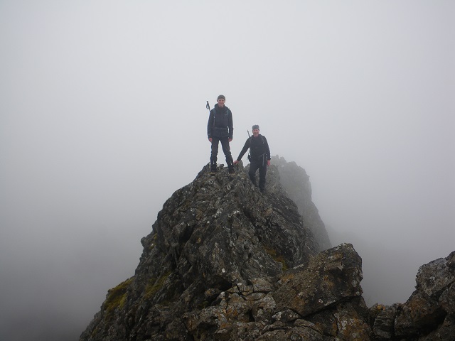
Eight of us (Kate, Andrew, Trl, Fiona, Angela, Jeannie, John, Charlotte) made the most of the wonderful Saturday weather on the ridges above Glen Coe. Charlotte had suggested this walk, having never visited the Hidden Valley, so we spent the day looking down into the valley (possibly not quite the walk she had expected). We started off on the path to the Hidden Valley, but soon left the main track to climb steeply, with some nice sections of scrambling, to the nose of Gearr Aonach for wonderful views along Glen Coe and across to the Aonach Eagach. From here, the rest of the day involved high level walking and endless views, taking in Stob Coire nam Lochan, a lunch stop on Bidean nam Bian, and Stob Coire Sgreamhach. The three tops and the main ridge were very busy as it was a bank holiday weekend, and the forecast was not good for Sunday. We had the ridge to ourselves once we left Stob Coire Sgreamhach and started along Beinn Fhada. This involved some sections of scrambling, including the bad step. The route off Beinn Fhada, into the Lairig Elide was steep, wet, and involved avoiding a few rocky buttresses, but everyone emerged at the bottom unscathed. Once again, the Clachaig provided a welcome coffee stop at the end of the day.
Kate
Sunday 19th August 2018 — Glen Orchy (not Loch Tay)
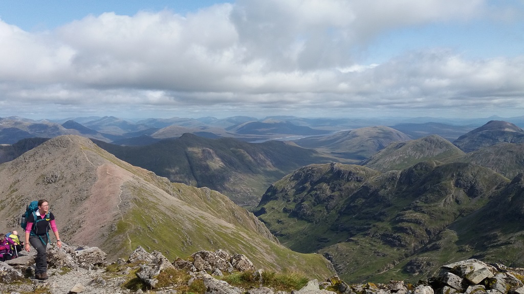
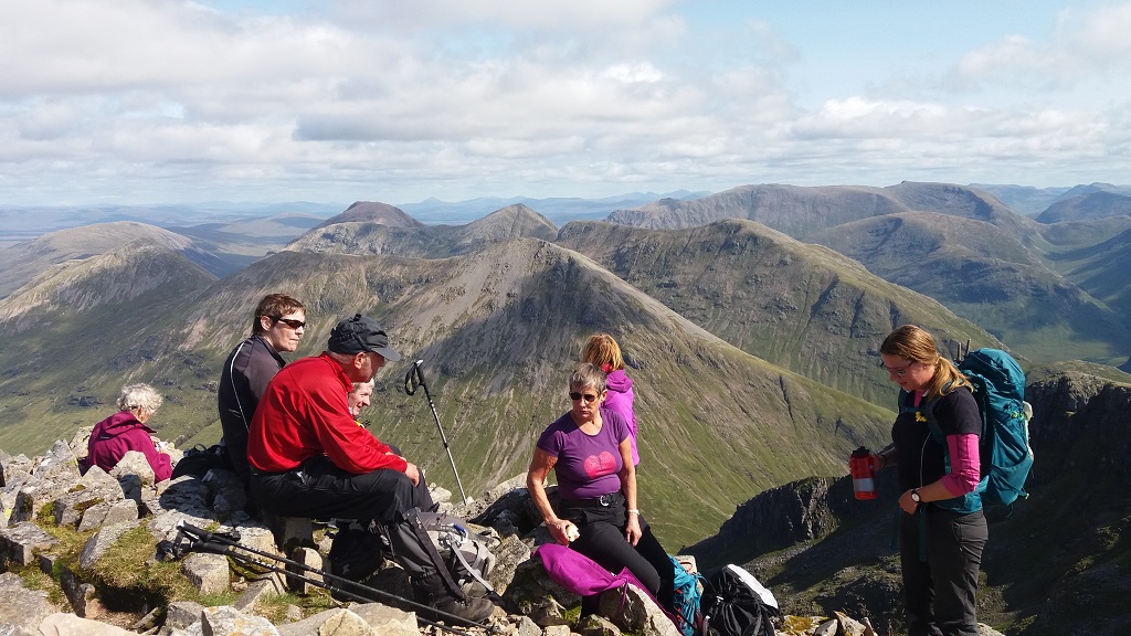
The weather forecast for the Loch Tay area was not very good, so Andrew, Gerry and I decided to do a hill in the west: Beinn Mhic Mhonaidh, a Corbett, from Glen Orchy. There had been a fair amount of rain recently and the River Orchy was quite high. The Eas Urchaidh waterfall at the start of the walk was spectacular, and so were several other waterfalls on the Allt Broighleachan as we followed the track through the forest. We were climbing steadily and soon came to the first of four burns that we had to cross. Accomplished safely, we carried on and over the second burn. However, at the third and widest burn, Gerry took a fall on the slippery rocks and got a soaking. But, being of hardy Nevis Hillwalker stock, she just emptied the water from her boots, wrung out her socks and carried on. Even the most experienced of us can get caught out occasionally. The path through the forest deteriorated but was OK. At the edge of the forest, we exited through a gate and crossed our last burn (going up). To start, there was a slight path but it disappeared, and we had to walk quite steeply uphill through long grass. It was hard going and we did think of turning back, but Andrew then found the path again, so we carried on. The weather had been kind to us, although with no wind, the midges started to attack. But as we climbed higher, we entered the mist and with no real landmarks, map, compass and GPS were deployed. We came out on to the plateau and found the first and largest of the lochans (the only one marked on my map) which then led us to the summit cairn. After a lunch break, we descended following Andrew's GPS route of ascent until out of the mist. Thankfully, the rest of the descent was uneventful with no more slips or falls, and we arrived at the car park to see the sun come out and the hills clear (a fairly typical day).
Coffee and tablet was enjoyed at the Bridge of Orchy Hotel.
John
Saturday 11th August 2018 — The Brack and Ben Donich
7 members turned out for this walk in the deep south, almost in the Central Belt. John, Trl, Gavin, Fiona, Charlotte, Craig and Andrew met at the Ardgartan picnic site. Those setting off at speed along the track soon left the others way behind. Luckily, the footpath up The Brack was signposted, and the front-runners had paused there. It starts as a vertical scramble. The angle eased to just steep, was boggy in places, but gained height quickly S up into a rocky corrie. We paused on a shoulder by a lochan for 11’s, then turned NW up to the summit of the Brack. The hill has an interesting NE aspect, near vertical with many fissures in the ground near the edge, witness to some movements in past, or maybe continuing today. They were difficult to spot in places, especially when obscured by vegetation but were nonetheless capable of swallowing an unwary walker, and closer inspection showed some to be very deep indeed. We headed down NNW following the edge of the scarp looking for more fissures and admiring the plunging views. Some features were even named on the map – Great Central Groove and Elephant Gully. It became apparent there was no path worthy of the name hereabouts and eventually we arrived at a col, over 400m below the summit left behind. Ben Donich, some 60m higher than The Brack loomed ahead and we toiled E up rough, and again pathless terrain. Arriving at the summit plateau a good path appeared that stretched into the distance all the way to the Rest and be Thankful. Thus, the Club ethos remained intact — if there is a hard way of doing hills, we will find it.
We returned in the direction of ascent, but closer to the edge of the escarpment because Gavin had promised to show us some even more exciting fissures. He and Trl were well out in front but I caught sight of him about 100m distant near the 575mEX spot height. When the rest of the party caught up a few minutes later, there was no sign of either of them, so we assumed they had continued down towards the col. We were surprised when they re-joined us from behind some while later, having been exploring a passage following one of the fissures. We continued down to the aforementioned col and joined the footpath that links Glen Croe with Lochgoilhead down to the forest track. It was past 1700 back at the cars but we found coffee in a surprisingly open cafe in Arrochar before the long drive back.
Andrew
Trl and I did indeed lose sight of the others and I thought that they were taking a different route rather than joining us, so we went looking for a cave I found some years ago. To find it, first look for a large obvious cairn. Go slightly down the ridge from there before heading a short distance down the hillside between two areas of landslip. Stop at around NN2336304404. Looking E from around here you should see a deep dip in the ground. Enter this staying at first on the left hand side going carefully over large weedy rocks. Then the chasm turns right. Enter the chasm by-passing a deeper hole on the right. Halfway up the chasm are large rocks blocking the way. These can be passed by slim people by squeezing through between the right hand rock and the chasm wall. The walls are rather damp and greasy so this is a rather mucky operation. You will need to take off your rucksack and pass it through ahead of you. It appears as if the chasm soon comes to an end, but as you continue you will see a roofless cave open on the left hand side. Ignore this, and continue a few more yards. Another cave opens on the left a metre or two up the rock walk. I stepped into this cave and fell into a shallow hole. I warned Trl of the hole, and so of course she also fell into it. Head torches are not essential to get through the caves, and after this first hole, there were no other serious hazards. Continuing into the cave, a cave branches left. Ignore this branch (it doesn't lead anywhere useful) and continue forwards to a chamber. From now on, I can't remember the route in detail, but each time we came to a dead end, looking around carefully we always found a hole that allowed forward progress. Finally you arrive in a chamber with a small exit hole close to the ground that can be sqeezed through on your side and without your rucksack, finally bringing you back into daylight.
Note that this route is for slim people (unless you find an alternative route to ours) and in the initial stage is rather mucky. We managed to find the route through fairly easily, but that was because I explored this cave some years ago and had some idea of what I was looking for. Careful of clothing. It would be easy to rip clothing, and in particular Paramo gear is easily torn.
It was good fun!
Gavin
Saturday 28th July 2018 — Corrour
The Programme was offering a huge choice; the only common feature was the train ride to Corrour. Six members turned up to catch the early train from Fort William, Charlotte, Gerry, Chris, Andrew, Jeannie and Angela. The last three of these were up for some Munros NE of the Corrour Shooting Lodge, opposite Ben Alder. I had originally intended to stay out over Saturday night and complete the round of the 6 Munros. The summer timetable offered trains on the Sunday, and I had packed some extra food, sleeping mattress, sleeping bag, and bivouac shelter. However, two things conspired against the idea; the forecast for the weekend was for heavy rain and strong winds, and I realised that the mattress was longer than the bivouac shelter, designed for sitting in.
We set off immediately on arrival at Corrour and made brisk work of the level walk to the Shooting Lodge, arriving at about 1015. Noting that we ought to be back here by 1900 to allow time for refreshments before boarding the last train to Fort William, we headed up the short hydro road and turned NNE onto the open hillside up towards the rocky outcrops of Creagan na Craoibhe. This led up to Meall Glas Choire, the first Munro Top. Somewhere around here the rain started, the wind rose and I noticed that the barometer had dropped 5mb since switching on the GPS. Curving around Glas Choire and gaining the first Munro summit of Beinn Eibhinn at 1248, we were treated to fabulous views of these magnificent hills and corries all around, somewhat unexpectedly given the weather. This was due to the cloud base remaining above the summits most of the day, with only an occasional loss of visibility.
We didn’t linger though. The heavy raindrops borne horizontally on the fierce SE wind felt and sounded like hail at times, and the buffeting across the gracefully curving ridge around Coire a’ Charra Mhoir was playing havoc with the total-height-climbed reading on the GPS. There was a steep drop N to a low col, then an equally steep ascent to the second Munro summit, Aonach Beag. We arrived at 1338. Turning E, the traverse to the third Munro, Geal-Charn was easier and less dramatic. We arrived at the summit, perched on the edge of an extensive plateau at 1417, congratulating ourselves on our swift progress.
The forecast temporary improvement in the weather had yet to materialise, but the alluring end-on, rain-drenched view of the impressive bulk of Carn Dearg proved irresistible and we decided unanimously to do the 4th Munro, some three kilometres distant. As we crossed the Rubicon from the West to the East of Scotland, the views opened up. Along the great trench enfolding Loch Ericht one could almost see Dalwhinnie, the A9 and the Drumochter Hills, and we knew the Cairngorm Plateau was there beyond, even though obscured by the boiling clouds heading our way. We arrived at the summit of Carn Dearg at 1609, with a grandstand view of the long delicate sweep of Beinn Bheoil and the great craggy massif of Ben Alder enclosing Loch a’ Bhealaich Bheithe, which must be one of the longest coire lochans in the highlands. The burn, issuing furiously, was swollen and white all the way down to its confluence with the Allt a’ Bhealaich Dhuibh.
With a slight tinge of urgency we backtracked W a little before curving S down rough slopes E of Loch an Sgoir, glad that the rain had now almost ceased. Passing beneath the magnificent Lancet Edge, the E ridge of Sgor Iutharn, we joined a well-constructed footpath leading up to the Bealach Dubh, arriving at 1800. The easy path continued down the other side, but we found no connection with the lower path beside the Uisge Labhair that leads back to the Shooting Lodge. Instead it climbed again, turning SE over the Bealach Cumhann down to Benalder Cottage. We plunged down and across the Uisge Labhair to find no trace of path at all at first. The going was tortuous over peat hags, a myriad of small burns and ground saturated by the heavy rain. We soon realised that refreshments at Corrour were out of the question and that the main issue was whether we would catch the train at 2120.
The path appeared spasmodically and was hardly any better going. We were focussed on maintaining a fast pace and it required great concentration and nerve. Annoyingly, the route followed the bank of the meandering river faithfully for kilometre after kilometre. At one point, I saw Angela losing her footing and having to jump squarely into the river to avoid total immersion. We arrived at the dam and the hydro track at 1945. Angela paused to empty her boots, and we arrived at the Shooting Lodge at 2000, still with 7km to go to Corrour Station. We made it with 2 minutes to spare, to greet other three members waiting anxiously on the platform. The train was 3 minutes behind schedule. The vital statistics: 42km, 1900m ascent, time 12h38m. The last 15km were the fastest and longest I have walked for a long time. A memorable day out with two hardy companions.
Andrew
Angela, Jeannie, Andrew, Chris, Gerry and Charlotte all left for Corrour. Angela, Jeannie, and Andrew set out to do 4 Munro’s. Chris, Gerry, and Charlotte went from Corrour Station towards the hostel, after the watershed turned right over the footpath to Peter’s Rock, from Peter’s Rock climbed the ridge towards Meall na Leitire Duibhe, to continue along the ridge past Coire Creagach to the Munro Carn Dearg (941m). Chris then went on to do another 2 Munros and Gerry and I followed the ridge south towards the col then towards the 861m summit close to Meall nam Fiadh and then had lunch at a sheltered spot. It started raining, and we decided to continue to the 821m summit and dropped down the hillside back on to a track from there. We passed Corrour Old Lodge (ruin) where we had another break. When we left the lodge a couple of big streams after the rainfall were quite high and fast flowing over the path and some river crossings were needed. We followed the path back to Peter’s rock and back to the station for a cup of tea. We were back at the station at 16.40 and we left at 08.40 in the morning so roughly 8 hours in total. Chris Joined us for dinner at the cafe at 18.00 and Angela, Jeannie and Andrew made it back 5 min before the train arrived.
Charlotte
The party split on the top of Carn Dearg and shadowy figures heading off into the mist in different directions — on an accurate compass bearing, of course. Chris followed by another group of 4 walkers headed off to the broad bealach between Carn Dearg & Sgor Gaibhre dropping below the mist for views of the head of Loch Ossian in one direction and the edge of Rannoch moor in the other. Both of the shallow corries were filled with peat hags, mental note made not to try a descent that way if possible. The steady climb onto the summit of Sgor Gaibhre was relieved by the sight of a ptarmigan and 3 almost full grown chicks and admiration for the hen for having brought them safely to this stage. A golden plover also called plaintively before coming into view to confirm that this was indeed a bird and not the wind whistling though the top of Gerry’s walking pole.
The top of Sgor Gaibhre coincided with one of the heavy showers driven by wind promised by the weather forecast and lunch was postponed to the next top. The top of Sgor Choinnich proved to be even worse but part way down a large boulder provided some protection from the driving rain and time for an overdue lunch. The weather started to improve and the temptation to complete a high circuit of Loch Ossian proved too strong. Beinn na Lap was approached from the head of the loch, forgetting that the shallow corries, in this part of the world, hold peat hags which despite the recent dry spell seemed to be pretty soggy again. The sun was shining on the top and the views particularly clear from Ben Nevis to the Black Mount as well as back across the loch to the morning’s peaks. The wind had picked up requiring considerable concentration to traverse Beinn na Lap’s rock strewn summit plateau to avoid a twisted ankle. A straightforward descent on the “tourist track” followed by a welcome drink and bowl of venison stew at the Corrour station café. A game of Scrabble with scant attention to the rules passed the time comfortably until the train arrived to return us to Fort William.
Chris
Photos from Charlotte:
Sunday 22nd July 2018 — Taynuilt
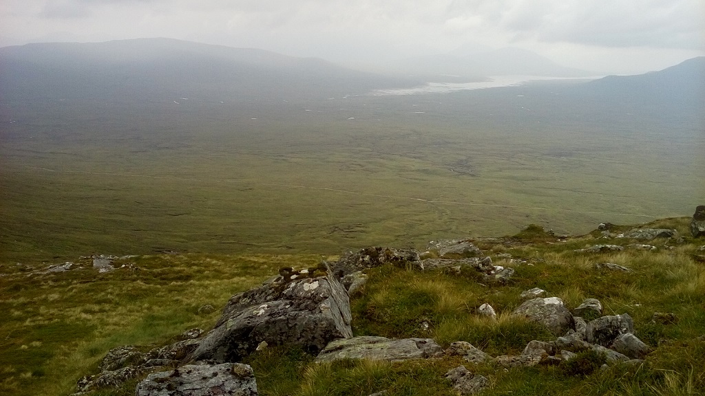
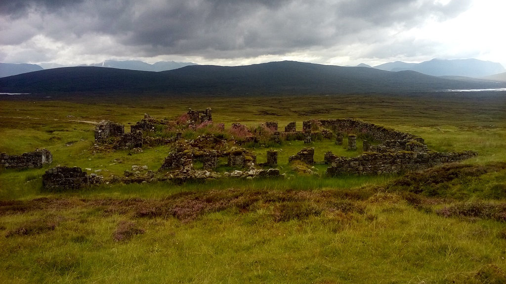
Due to an adverse weather forecast, this walk did not go ahead.
John
Wednesday 18th July 2018 — Lost Valley, Glencoe
Five members turned out for this evening walk, including Charlotte who had requested the walk and had never visited Coire Gabhail. The evening was dry, warm, bit cloudy, light wind. Perfect for midges but after the recent hot spell they were obviously lying low. Tourists, however, were out in force. We just managed to park. Once the car park was left behind it was peaceful and quiet. We ascended by the high route crossing where the stream was underground. The rock was dry. The view into the valley was as spectacular as ever, even the green tent we spotted was not intrusive. The first midge arrived as we took in the scene. The river was low on the return and we crossed dry shod. Too late for the Laroch for dinner we had fish and chips in The Gathering Place. Certainly improved since our last visit a few years ago.
Gerry
Photos from Charlotte:

Saturday 14th July 2018 — Cairgorms — Braeriach
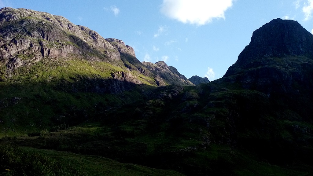
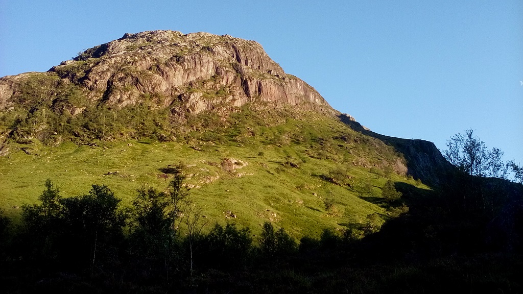
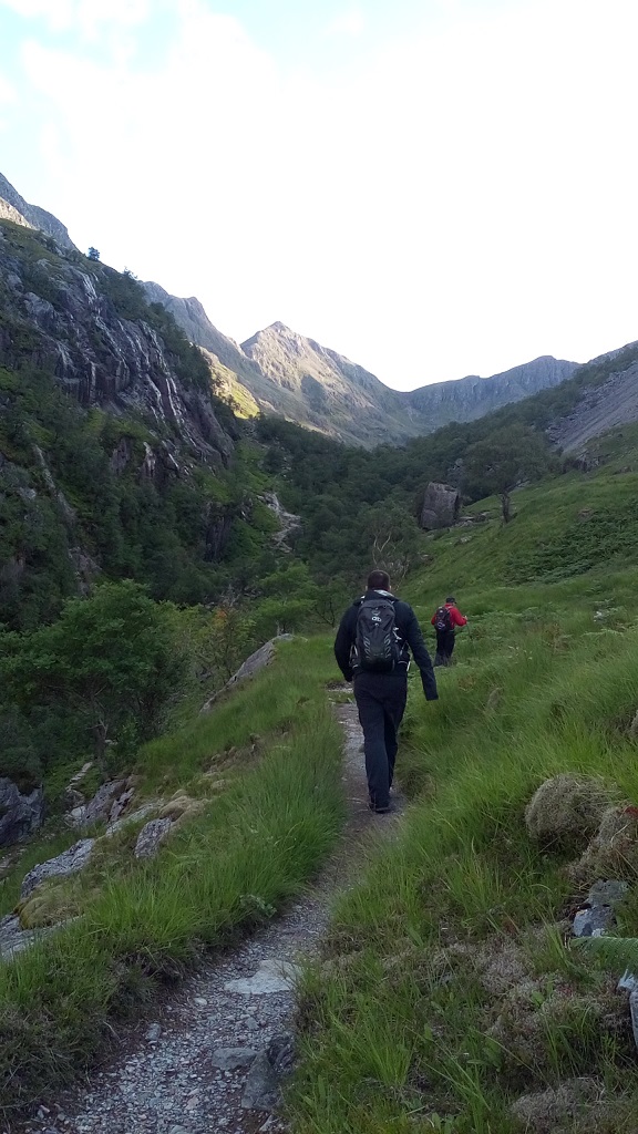
On arrival at the Sugarbowl car park, we, Andrew, Jeannie and me, were greeted by light, high clouds (no rain!), but it was surprisingly windy. Just after crossing Allt Mor we met some reindeer handlers that were taking four of the animals to Glen Livet. The wind was strong and against us, making negotiating the Chalamain Gap more tricky than usual. The path up to Sron na Lairige is long and steep but well-made and although it was dry and warm, I needed to don jacket and gloves as the wind was against us, making it quite cool. On the col between Sron na Lairige and Braeriach, the wind was very strong as it funnelled up the chimneys in Coire Bhrochain. The views across to Sgor an Lochain Uaine and down the Lairig Ghru were superb although there was no waterfall from Lochan Uaine because of the recent long spell of dry weather. On the final approach, we looked behind and discovered a dozen reindeer including three calves, following us ( they will appear in many pictures taken by the other walkers there-and I hope on our website!). The stop at the summit was dominated by the very strong wind so we were relieved to start back down. The hill was quite busy with walkers going up and down and some planning to camp somewhere on the ridge. An uneventful descent was achieved minus jacket and gloves after we had lost some height. Having not been out on the hills for about two months, I was relieved and satisfied to finally reach Glenmore Lodge for coffee.
John
Sunday 8th July 2018 — Glencoe — Sgurr na h-Ulaidh
This was a wet day, fine drizzle and low cloud. We were expecting some navigational challenges. Andrew, Charlotte, Kate and Gerry plus guest Steve parked at Achnacon, went over the stile opposite and headed for the bridge among the trees. We located the start of the route up the N ridge of Aonach Dubh a’Ghlinne accurately with the waypoint but I think we failed to identify the “...rocky slab-sided rib...” early enough and had a steeper and more difficult time passing over it rather than below it. We were back on track before the next critical point at the “...prominent ledge..”, confirmed with its waypoint. There were no problems getting over Stob an Fhurain and selecting the correct ridge to arrive at the summit of Sgurr na h-Ulaidh, but we saw nothing except a party coming in the opposite direction which was following strictly the munroists’ route up and down. Our route out along the spur of Corr na Beinne is designed to avoid the very steep ground and rock faces on this hill’s N aspect. The temptation is to turn down too early. The level top of the spur extends for 250m and one should traverse most of it before heading down its NW aspect. The angle eases at around 600m alt, whence a gentle descent N leads to the col. Here on the day we were still in mist.
Andrew
Saturday 30th June 2018 — Glen Lyon
This walk had to be cancelled last summer due to poor weather conditions in complete contrast to the prolonged spell of good weather we are currently enjoying. Despite or perhaps because of the good weather only two members were out on the walk, Gavin and Chris. There were plenty of other walkers, however, also enjoying the horseshoe circuit of four Munros; all, like us, doing so in a clockwise direction. The heat of the day was tempered by a welcome breeze for most of the walk.
The first summit reached was Carn Gorm after which the groups of walkers became more spread out. The small peak of An Sgorr was picked up en route to Meall Garbh. The metal fence post which are cited as a guide in most books to the correct route appear to be being removed with metal cairns of the posts at various points along the ridge line. Carn Mairg was the lunch spot and time to test the sense of direction and memory of hill names for the view was superb; close by Ben Lawers and friends and Schiehalllion; further away Ben Nevis and the Grey Corries, Mamores, Glen Coe, Ben Cruachan, Ben Lui, Hills of Crianlarich, Ben Chonzie, the Orchils, Ben a' Ghlo, the distant plateau of the Cairngorms, the hills of Dromochter and Ben Alder and back to the Grey Corries.
The Munro top of Meall Liath was added to the tally before finishing the climb on Meall na Aighean taking a more direct line than generally followed (no prizes for guessing whose idea that was). A steady descent back to the estate road close to the start where it was considerably warmer than it had been on the hill thanks to that breeze. The tea room at Bridge of Baigie had a good supply of ginger beer (fortunately) and dark bounty bars to round off a good day in the hills.
Sorry no pictures as I could not find my camera
Chris
Sunday 24th June 2018 — Loch Arkaig
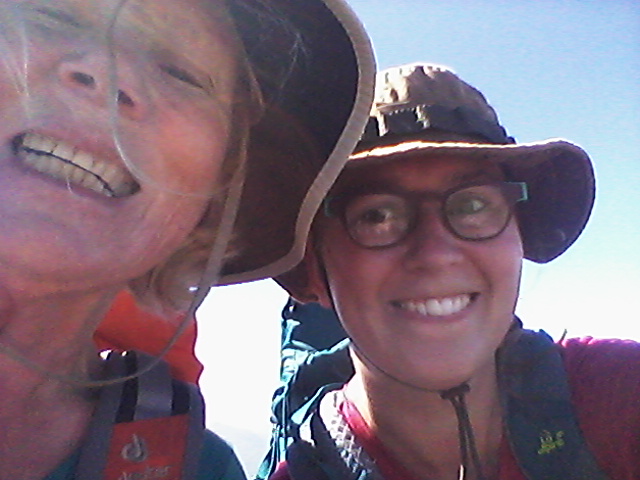
From the car park near Strachan, we (Charlotte, Mary & Stephen) took the track to Glendessarry and then went north on the path to the high point. There Trl, Angela and Jeannie were waiting for us. The path went NE, so we left the path to go north into Glen Kingie and crossed the river. Mary and Charlotte Joined the path on the north side of the river and took it west and then NNE on to the SW ridge of Sgurr Beag. Continued over Sgurr Beag, then down steeply to the col and up steeply to the summit of Sgurr Mor. To return, we continue east on the path and then SE to the col below Sgurr an Fhuarain, and descend steeply from the grassy slopes to cross the river Kingie and re-join the outward route. Trl, Angela, Stephen and Jeannie went to the summit of Aonoch Dubh a' Ghlinne and to the summit of Stob an Fhuarain. They left their bags at the col and picked them up on the way back. Trl, Angela and Jeannie went on in one car and we (Mary and Charlotte) were reunited with Stephen in he end to leave in Mary’s car. It was a lovely and sunny day out.
Charlotte
Photos from Charlotte:



Photos from Angela:
Wednesday 20th June 2018 — Glencoe
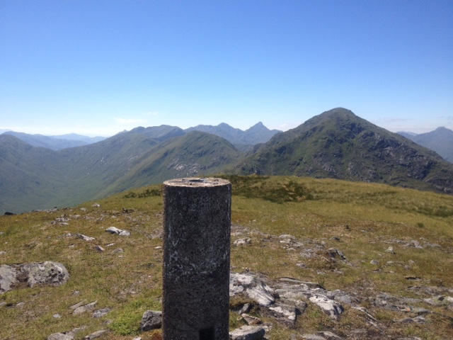
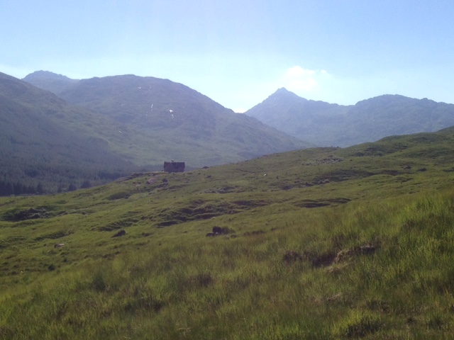
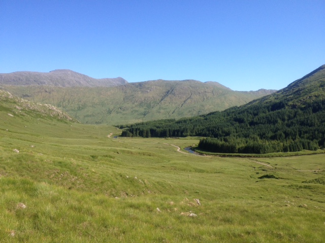
An Meall (414 m) walk in Ballachulish. A nice evening for the 5 walkers that went on the walk. Andrew, Gerry, and Chris waited until Margaret and Charlotte arrived at the visitor center. Some people were wearing waterproofs to keep the rain away. First a walk next to the corrie lochan then up next to the forest to the open hill and continued to the mast (414m, top of An Meall) with nice views over Glencoe and Loch Leven and Loch Linnhe. We saw the rain approaching over the loch so headed down after some pictures and enjoying the view. There was no possibility to be faster than the approaching rain so there was a test of rain gear and waterproofs on the way down. Margaret returned home and Andrew, Gerry, Chris, and Charlotte ended the walk by being well-fed in the Laroch in Ballachulish.
Charlotte


Saturday 16th June 2018 — Loch Mullardoch
An Socach, An Riabhachan, Sgurr na Lapaich & Carn nan Gobhar
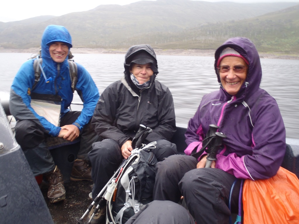
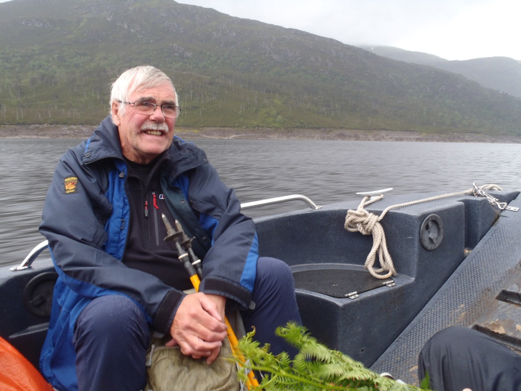
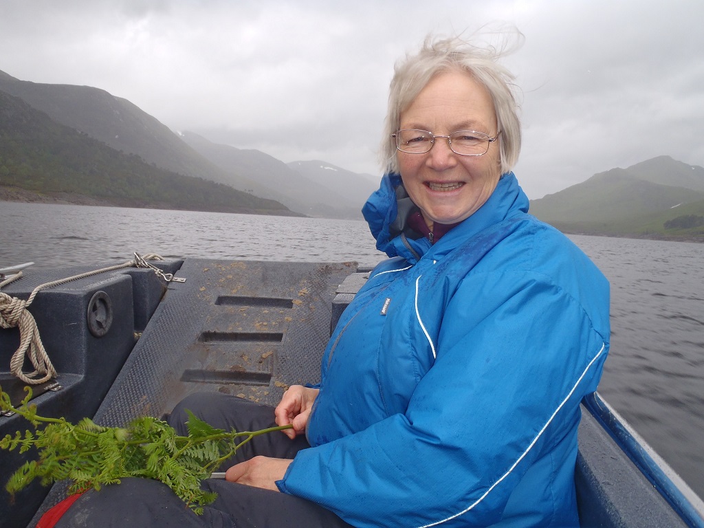
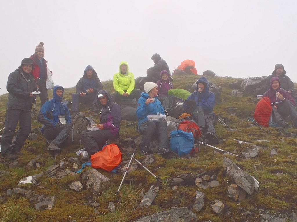
An early start for the 14 walkers planning to take the Loch Mullardoch Ferry boat, up the loch, to start our ascent of the planned route.
Kevin, Jenny, Dave and Mary travelled up the night before. Graham, Angela, Jeannie, Trl, Liz, Ken, Wesley, Charlotte, Robert and Gavin had early starts to catch the ferry boat at 8.30 and 9 am.
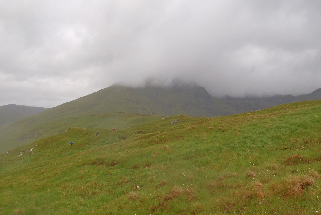
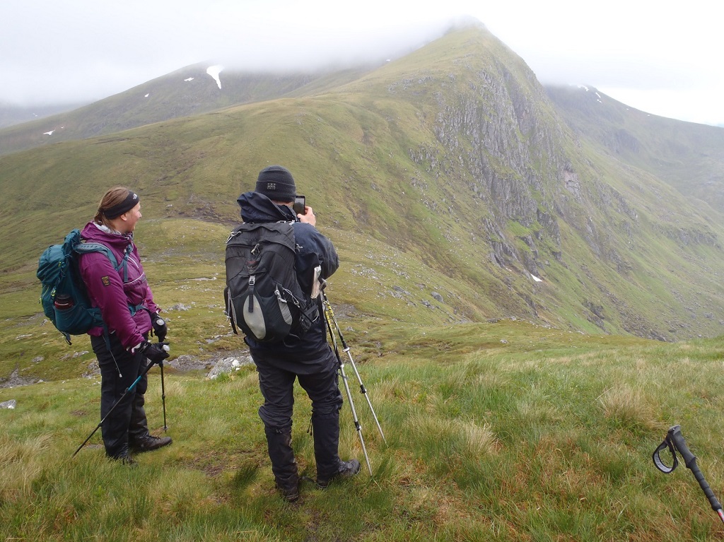
The weather wasn’t as favourable as MWIS had forecast on Friday and we had, at times, a cold wind, a mixture of drizzly rain, heavy rain and a hail shower throughout the day. It tried to dry up towards the end of the day and there was some brightness in the sky. Despite the rain, and the varying cloud level, we did manage to have some fine views and glimpses, down into adjacent glens, back to the hills we’d just completed and towards distant hills.
Having completed it before, Jenny and Dave descended, to miss out Carn nan Gobhar while the remaining 12 walkers completed the route, as planned. It was a spectacular day in remote hills. The possibility to avoid the 10km walk back along the loch by taking the boat in the morning was much appreciated.
Liz Stevenson – Walk Co-ordinator for the day
Photos from Ken:


Photos from Angela:
Saturday 2nd June 2018 — Loch Cluanie
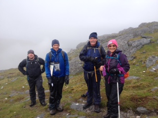
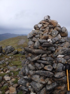
A very warm sunny start to the walk at Loch Cluanie on Saturday saw Andrew, Gerry, Florian and Chis head off along the old military road. It was good to have Florian back for a visit and a chance to catch up. Our route soon took us off the old road and ascending the hill path up Carn Ghluasaid. A stonechat in all his finery scolded us on the way up and a burn provided welcome refreshment. The upper part of the walk was accompanied by hundreds of cranefly like insects which hung like bats onto the bottom of our rucksacks or flitted about our faces — fortunately they don’t bite.
From here Gerry opted for a shorter horseshoe walk in a clockwise direction. The rest of us headed for the high point of the walk, Sgurr nan Conbhairean, with its fine peak rising above us as we rounded the corrie between the two hill. On such a fine day, the spur leading to Sail Chaorainn proved too tempting and we added that to make it three Munros with views into further corries and glens; beyond the clouds were building.
The rubble of thunder accompanied our return towards Sgurr non Conbhairean, the sky darkened and the heavy rain with some hail started. Jackets on and heads down we skirted below the summit, descended the fine arête and hurried over the more exposed Drochaid an Tuill Easaich while the sky continued to rumble. By now the rain had settled into a familiar west coast mode and we returned to the main road via Meall Breac. Gerry, having just beated us back to the start, kindly spared us the mile or so walk along the side of the road by bringing the car round thus limiting the time the midges had for feeding. The Invergarry Hotel served a good coffee to conclude a successful if slightly damp day at Loch Cluanie.
Chris
Monday 28th May 2018 — Sgurr of Eigg
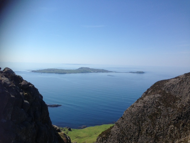
Of the 15 who travelled to Eigg, 11 decided to do the classic walk up the Sgurr of Eigg. This hill, though only 394 metres high, is recognisable from miles away when seen in profile and is on many a wish list.
A well used path led through cool shady woods then onto a track and finally a boggy path contouring around the N side of the cliffs to a bealach. For once the bog was dry and a pleasant breeze kept the midges away. A short scramble up from the bealach then back along the rocky ridge to the summit. Quite an airy place with vertical drops on 3 sides. We perched on top to have lunch and admire the somewhat hazy views. Gavin left to bag some more tops/humps/lumps/bumps The remaining energetic people retraced their steps down from the airy crest and headed off to Massacre cave. That left Dave, Jenny, Sheila and myself to wander back to the tea room for a well deserved ice cream.
Gerry
Trip To Eigg — A Lowlanders View:
An amazingly hot summer’s day was enjoyed on the Isle of Eigg. 11 people went off to do the Sgurr and 3 people stayed at sea level.
I went round the coast north easterly from the pier in search of a beach and ended up at a beach just down from Kildonan. Great time here with a swim thrown in. I came back via the road for ice cream at the tea room.
For the other two lowlanders — one just pottered about enjoying the sunshine and the other went in search of caves including the massacre cave.
The ferry had been very busy on our way out and we had to be real sharp getting in the queue to make sure we boarded ok. It was just the same coming back and most of us got on — a real advantage if you had come by train to Mallaig as train people got priority. However, this did not apply to everyone and 12 people got left behind on Eigg which included 5 of our party. Thankfully, this was not for the night. After a wait of 3 hours, another ferry was sent from Mallaig to collect the stranded passengers. All got home safely but later than expected.
Suzanne
Photos from Trl:

Sunday 27th May 2018 — Moy, Loch Laggan
The forecast was dry all day and a breeze enough to keep midges grounded, yet only two members turned out, Trl and Andrew. We met up at North Ballachulish, checked out the Woollen Mill for last minute deciders, and were at the start of the walk soon after 09:00. The car park at Moy Bridge was almost full, and cars were parked along the start of the estate road. The breeze was fierce from the northeast making it deliciously cool for a brisk walk in and ascent, but we were getting knocked about in the gusts. Lochan na h-Earba was alive with white-capped waves and a gust crossing the bridge threatened to tip us into the river. We followed the Allt Coire Pitridh E up to the path junction just below the Bealach Leamhain and turned N. We had elevenses at the foot of the SW aspect of Geal Charn, then picked out a convenient route up to the summit. Although there must have been many parties out, it was not easy to spot them among these grand hills. The wind got stronger as we climbed higher and traversed the long plateau to the summit cairn. A group of 6-8 appeared at the same time on the summit of the smaller Creag Pitridh to the west. We found some shelter on the lee side of the summit outcrop for some lunch then headed down W, across the col and up to Creag Pitridh. The wind never ceased but veered to the east and reduced as we descend SW from the summit, and along the crest of the rocky escarpment, over Sgurr an t-Saighdeir. There were fine views of the cliffs of Binnein Shuas across the loch, the latter having lost its furious white wave-crests. Regaining the track we quickly made the final few kilometres back to Moy and to the Stronlossit in Roybridge for coffee by 16:00. A great day out, 21 kilometres and about 1000m ascent.
Andrew
Saturday 19th May 2018 — Ben Lomond
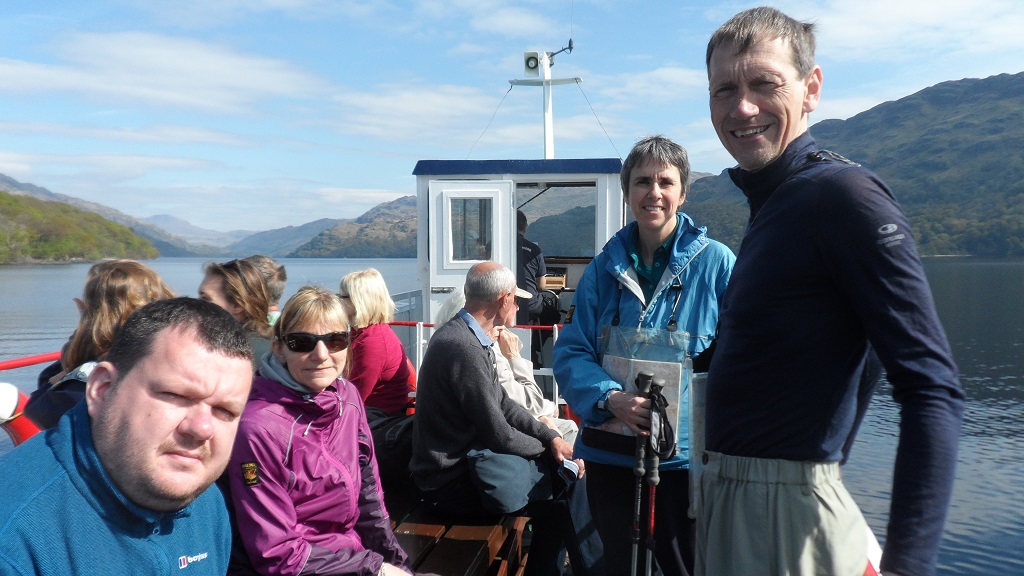
Chris, Robert, Suzanne, Gavin and Trl turned up for an exciting adventure including a cruise on Loch Lomond at the beginning and end of the walk to the top of Ben Lomond. The ferry took us from Tarbert to Inversnaid, a 30 minute journey in glorious sunshine on very calm water. From Inversnaid we headed south on the West Highland Way in the opposite direction of all the WHW walkers and there were many, through beautiful oak forest just coming into leaf and a carpet of bluebells and the odd waterfall just to complete the perfect picture. Just past Cailness — where there is a cafe for those who may be interested — we said goodbye for now to Suzanne who opted to continue along the WHW to Rowardennan. The rest of us headed straight up the hill on the S side of the Cailness burn in an ESE direction. It was rather steep but with vegetation and bracken low at this time of the year we made good progress and headed for the N ridge up to Ben Lomond. The lack of path suggested that this is not a very used route and we did not meet anyone but as the summit of Ben Lomond came into sight we could see it was a popular spot on this lovely sunny May Sunday. Once on ridge, Gualann Coarainn Achaidh, it did not take us long to reach the path for the final 200m of ascent to the summit of Ben Lomond. A steady stream of people going up and down and lots more on the summit confirmed that this is a popular hill and everyone seemed in good humour enjoying themselves and own achievements. The views of Loch Lomond and all its islands as well as other familiar hills nearby were good so well worth the effort.
Unfortunately, with a ferry to catch our descent down the ptarmigan ridge was rather hurried but we were rewarded with refreshments from the excellent cafe in the Youth Hostel at Rowardennan and a wee paddle in the loch before the ferry back to Tarbert. Truly a wonderful day out.
Just one note at the end, if you intend to do this walk check the ferry ticket options, there is a Ramblers ticket costing £15.
Trl
Photos from Chris:
Sunday 13th May 2018 — Stob Choire Claurigh & Stob Coire an Laoigh, Spean Bridge
On a good day, this circular, quite long walk can be spectacular. And this was one of those days. But when we were driving there, it was spitting with rain and the cloud was down on the tops. We were looking out from the road to see what snow there was on our hills, and there was quite a lot. So the decision was that we would take our ice axes but not crampons. By the time of our start, the rain had stopped, but the cloud was still there. After the track through the forest, we went through the gate and left the track to take to the hill. The two kilometre climb up Ruaigh na Gualainn was unrelenting, starting wet underfoot but getting drier. In the grass, there was evidence (holes and runs) of voles. After Stob Coire Gaibhre (Munro Top), it became less steep but we still had 1½km and a boulder field where we saw two ptarmigan, to go before we reached the start of the ridge. The sky had now cleared and we were getting extensive views. The ridge started with a little easy scrambling on to Stob Choire Claurigh (Munro), then undulating for about three kilometres with some minor exposure in places over Stob a' Choire Leith (Top), Stob Coire Cath na Sine (Top), Caisteil (Top) on to Stob Coire an Laoigh (Munro). We had debated whether to go down by the ridge Sron an Lochain, but decided against it. The last top on the ridge was Stob Coire Easain and the initial drop from Sron an Lochain looked very steep and bouldery so the decision was correct. Going down from there, we could see the Grey Corries in all their splendour in glorious sunshine. We had encountered several patches of snow en route but negotiated them easily as the snow was soft and ice axes were not needed. Down the broad ridge to Beinn na Socaich was easy, and it seemed that we had dropped a long way, but were still over Munro height (Beinn an Socaich, 1007m was the last Munro Top). We followed a quad bike track off the ridge to a gate in the fence around the forest, and through a ride to a forestry track. This led east through the forest over a bridge over the Allt Choimhlidh, thus avoiding the burn crossing, to a junction not marked on the map. After some scratching of heads, we located the old tramway back to the car. After an eight-hour walk in glorious weather and surroundings, we headed home.
John
Photos from Angela: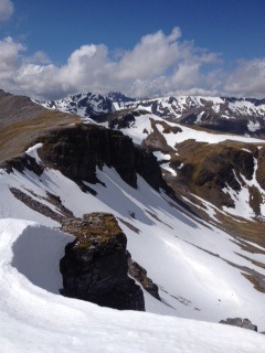
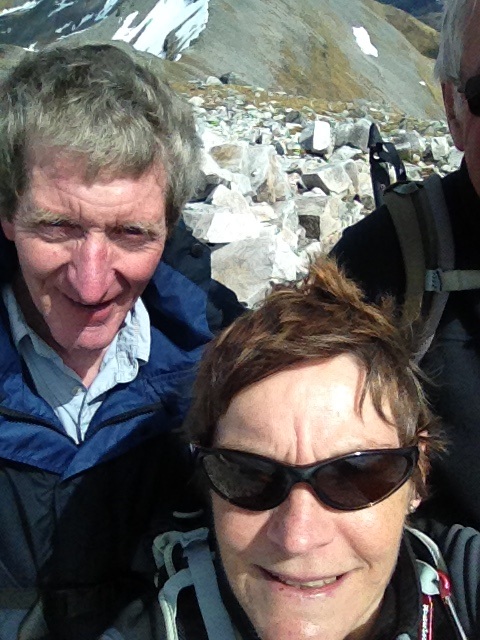
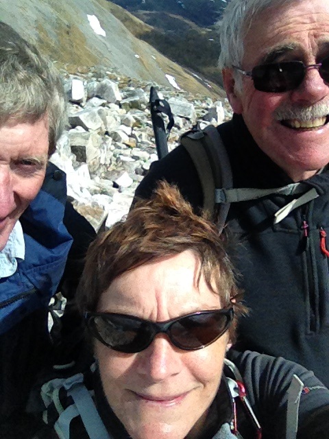
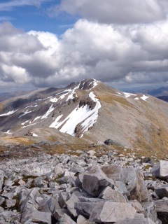
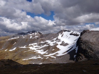
Saturday 5th–12th May 2018 — Knoydart week
Summary of main activities – Knoydart 2018
Ten members in total shared a great week in a spectacular area with good company, good food and a variety of weather.
We had everything from snow, low cloud, gales, rain and hail to warm sunshine and clear distant views.
Most walking was done in groups of 2 as everyone had their own agenda but we had plenty of time to discuss routes, study maps, share experiences and look at photographs.
The house we stayed in was superb with an efficient drying room, large kitchen and a warm conservatory looking out over the bay. A haven when it rained and blew — as it did!
Ladhar Bheinn (Munro) the highest peak, kept its head in the cloud most of the week but was conquered by 4 people on the Monday (AG, IB, WG, RP), 2 on the Thursday (TF, DB) with two near misses also on the Monday. (JF, DF)
Meall Bhuidhe (Munro) saw 2 people on its cloud free summit on 2 separate days. Thursday (WG, RP) and Friday (JF, DF)
Beinn Bhuidhe (Corbett) had 2 visits. Thursday (JF, DF and AG, GG), followed on the Friday (TF, WG)
Sgurr Coire Choinnichean (Corbett) the impressive peak behind Inverie was summited on Monday (GG) and on Wednesday (JF, DF and AG, TF)
On Wednesday a party of 3 (DB,WG,RP) did the round trip to Doune — a long walk.
On Friday DB went to explore the old Mica mine and returned with lots of rock samples.
On the really bad days and well deserved rest days we explored the woods, the beaches, the monuments and the coffee shop…
A variety of wild life reported too — golden eagle, divers, deer, beetles and a multitude of spring flowers. NO MIDGES, NO BRACKEN and only 2 ticks.
Gerry
Knoydart adventure (a wee walk up Ladhar Bheinn and Sgurr Coire Choinnichean)
Isobel, Robert, Willie and Andrew started off from the Kilchoan farmhouse which was to be our base for the week, at 7.59am on Monday morning. The clouds were covering the tops but it was dry when we set off. We headed along the road to the Old Forge Inn near the pier where there was a track that headed up through the forest. Lots of discussion was had about the BAD STEP! We carried on this track through a gate where the rain started to come on and water proofs were put on. We headed on up to a foot bridge over the Alt Coire Torr an Asgaill. We stopped here briefly for a drink and bite to eat before tackling the steep climb up the Choire Garbh to the left of the burn. At the bealach Willie spotted 2 people heading down from the summit this was to be Dave and Jenny who had set out earlier and were retracing their steps. There were small patches of snow but nothing we had to cross over, no ice axe or crampons were needed. We headed into the mist, wind and rain and soon reached a trig point that had seen better days. Andrew and Willie were already hunkered down below the ridge, just above a bank of snow tucking into their lunch when Robert and myself arrived. A few photos were taken and a discussion as to whether we would also retrace our tracks or carry on along the ridge. We all agreed to carry on. We reached the true summit and headed on down the ridge leaving the mist behind us. Loved coming down the ridge the views were starting to open up and there were a few easy scrambles nothing exposed. We soon reached the BAD STEP, Andrew and Willie were over it in no time. I eyed it up wondering the best way to tackle it and decided the best way was just to go for it. I got down not in the most graceful manner but was safe and Robert followed. There were lots of up and downs but it really is a superb ridge looking across to the sharks fin and beyond. We were back up into the mist before heading along Aonach Sgoilte and down to the bealach. Here we had another discussion about whether to tackle Sgurr Coire Choinnchean. Andrew decided to head down back to the Farmhouse and myself, Willie and Robert were keen to go on up this impressive Corbett. The weather was clearing and sunshine and blue skies were spurring us on. Lots of photo stops were taken on the way down looking across to Rum, Eigg and Skye, the views were absolutely beautiful. The ridge down from the summit was another fabulous ridge walk. Only a small easy scramble and we reached the top of the gorge. We came straight down the steep left hand side of the gorge to reach a stile over a deer fence. The hillside was covered in lovely yellow primroses which were difficult to avoid on the steep descent. We arrived at the track through the forest which would take us back to the Old Forge Inn where we were meeting for evening meal at 7.30. We arrived slightly late to a round of applause at 8pm, 12 hours from starting out. A venison burger, chips and a large refreshment was thoroughly enjoyed before the 20 minute walk back to the farmhouse.
Isobel
Sgurr Coire Choinnichean — Knoydart 7th May
With an unsettled forecast, Monday looked the best option for a big day out. Six of our party headed for Ladhar Bheinn. My thoughts were on Sgurr Coire Chionnichean, the imposing Corbett which dominates the scene when approaching Inverie from seaward. It had been on my list for years. The recommended path wandered around the forest to the back of Inverie but a local plan of forest walks showed there was a route directly up the front, starting quite near our accommodation — no walk in! It was certainly unrelentingly steep but a faint path led up through newly planted trees to a stile and onto the upper slopes. A carpet of primroses everywhere. The summit did not disappoint. Grand views of the Ladhar Bheinn ridge except the top which was in cloud all day. Further round extensive views of the small isles and Skye. The ridge continued eastwards descending gradually to Bealach Mam Suidheig and the track below. One point of interest on this ridge was a large fissure, quite deep and something to avoid on a misty day! The long walk back could not be avoided but in all a very satisfying day.
Gerry
Photos from Gerry:

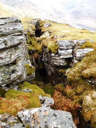

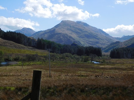
Photos from Trl:
The view towards the top of Loch Nevis and Sourlies, Allt Gleann Meadail waterfall and the outlet of the river Inverie.
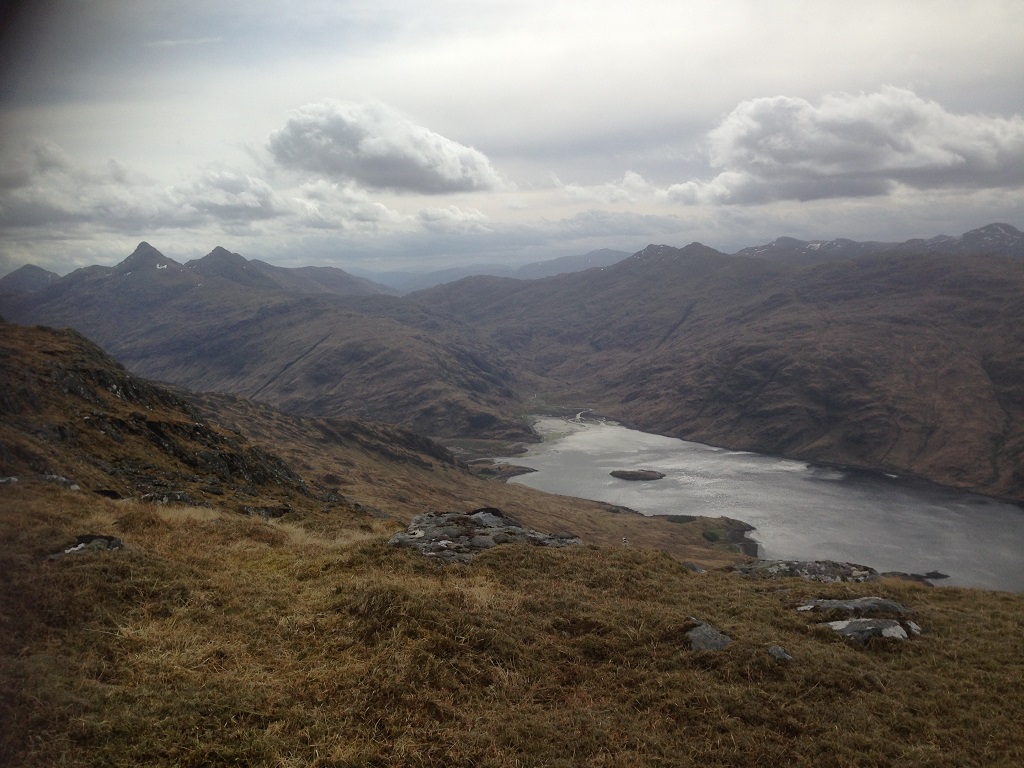
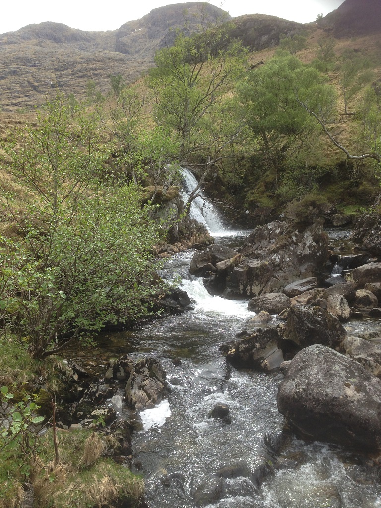
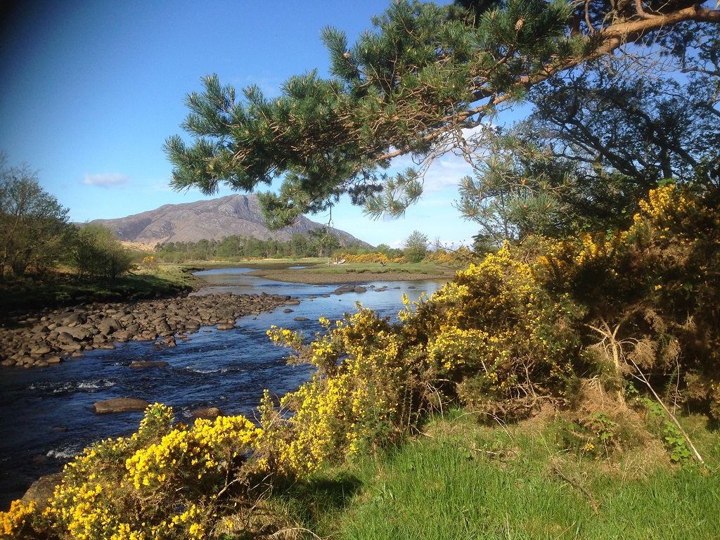
Saturday 5th May 2018 — Ben Oss (and not Beinn Dubhcraig), Tyndrum
Poor visibility, drizzle and winds up to 50mph was not the best of forecasts for the planned walk to Beinn Dubhchraig and Ben Oss. In the event the MWIS was right on one out of the three, the visibility above about 500m was down to 30m at times. I could also take issue with their definition of drizzle — it felt pretty wet to me. Nevertheless Jeannie, Trl and Chris set off with the aim of definitely climbing Ben Oss and managed to avoid being diverted onto Beinn Dubhchraig on the way up. The restored bridge on the Allt Gleann Auchreoch was a welcome change from the last time I had been up there as the river would have been tricky to cross. The path wove its way through the old pine forest before reaching the Allt Coire Dubhchraig and its impressive multi channelled waterfall. The going in the wood and on the open hill was generally wet and boggy. The wind picked up a bit on the bealach between the two Munros and we needed a bit of help from the GPS to find the route down the steep west facing slope. We also need the GPS when we found ourselves walking around the side of Ben Oss on what we had thought was the path to the summit. The situation was recovered and a couple of ptarmigan, now in summer plumage, were surprised to see walkers appearing in their domain from the left field. The final ascent to the summit cairn was on a snow field manageable in the 3-season boots. We spent just enough time at the top to acknowledge the cairn and then made a rapid descent of the snow field to a more sheltered area for a late lunch stop. The return journey was a retracing of our ascent, without detouring to Beinn Dubhchraig, and discussions ranging from the best ginger for gingerbread to the state of Israeli-Palestinian relations. The Good Food Café in Tyndrum was in sunshine by the time we arrived, a little damp and tired, to be revived by a good coffee and a little something; pleased to have finally climbed Ben Oss for the Club on the 4th attempt!
Chris
Sunday 29th April 2018 — Cairngorms
Six people out on a wonderful day in the Cairngorms, John, Jeannie, Ivan, Graham, Andrew and Gerry. Sunny spells, light winds and clear air with views to distant snowy peaks — goodness knows what they were!
We met at the top car park where a few die hard skiers were having their last day of the season. An easy climb up the west arm of Coire an Lochan then we left the track and headed up steep snow slopes to the summit of Cairn Lochan. Lots of cornices just waiting to collapse into the coire below and crags still full of ice and snow — quite spectacular. Following the rim of the coire we crossed some hare tracks leading out to the edge of a sunken cornice where they did an abrupt U turn. That was a close shave or maybe he was just having a look! We crossed one or two small snow patches and just before Stob Coire an t-Sneachda we noticed a ptarmigan, standing quite close, still white and being on snow obviously thought we couldn’t see him. Then we met 2 skiers looking for some snow on the plateau but they were in for a long walk I’m afraid. Cairngorm summit was busy as usual and reluctantly we turned north down to the Ptarmigan restaurant and followed the Sron an Aonaich ridge back to the car park. The café was still open so we had refreshments then headed home. A great day.
Gerry
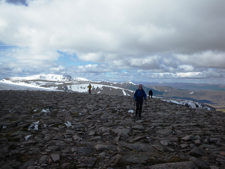
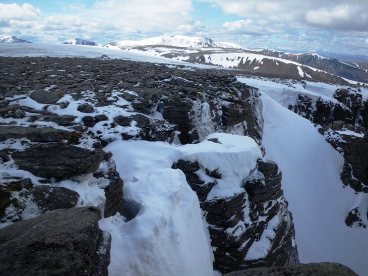
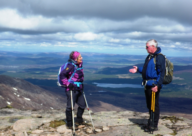
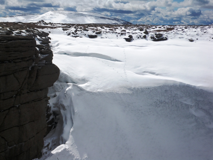
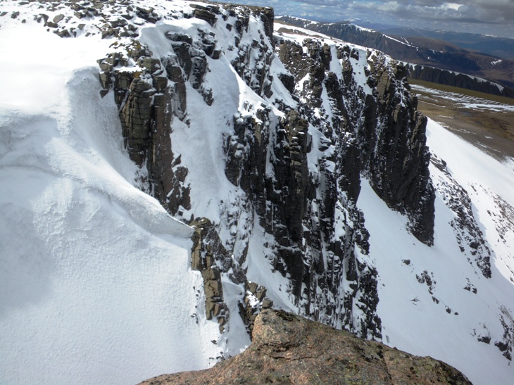
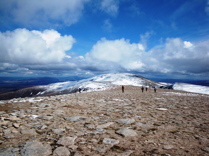
Saturday 21st April 2018 — Beinn na Caillich and Beinn Dearg, Broadford, Isle of Skye
A good day in prospect with a dry forecast, AG, GG, JB, IC CT, GT set off enthusiastically at 0800 from Fort William, heading for the Isle of Skye. We picked up CB at Spean Bridge. She had already driven from Perth that morning. We made brisk progress, stopping only briefly at Dornie and arrived at the start of the walk at about 1000. There was room to park near the Chambered Cairn on the B8083. These hills are incredibly steep, right from the floor of the glen barely above sea-level. The scene is impressive and provoked some discussion on whether to approach the hill by a more round-about less-steep route. We decided to take the steepest head-on route anyway, as detailed in the programme and described more fully in the SMC Grahams guide. A wide path led NW across the level strath with a bridge over the Broadford River. After the houses at Coire-chat-achan the ground, suddenly steep, got steeper still as we gained altitude. A faint path was easy to follow at first, but required close attention further up and was lost altogether each time a scree slope had to be mounted. It was worth a pause frequently to admire the views, extending with each metre of height gained.
Several hundred metres up and the wind became noticeable, quickly increasing to a quite unexpected ferocity. We had had elevenses lower down but at the summit found shelter in the lee of a huge cairn and decided to take an early lunch there. Our three hills looked superb, linked together with saddles and ridges of almost mathematically perfect curvature. The views below a fast-moving cloud base were good but some higher summits in the Black Cuillin were obscured. The sea on all sides was flat, remarkable considering the strength of the wind we were experiencing. The descent to the col between Coire Reidh and Coire Gorm was arduous due to the severe buffeting of the southerly gale. We sat on the lee side and discussed our options. GG decided to head N down into Coire Reidh, the rest of us would tough it out.
The ascent of Beinn Dearg Mhor was relatively easy with respite from the wind possible at times below the crest of the ridge on the lee side. However, as expected the descent SE to Bealach Coire Sgreamhach was very steep and directly into the teeth of the gale. Moreover, it was badly eroded and loose in places. Here, GT galloped off ahead to bag an additional hill, Ben Suardal, undoubtedly on a tick list somewhere. The five left on the hill carried on over Beinn Dearg Bheag and headed down the long ridge eastwards into a relatively calm air. We all met up back at the cars at about 1600 and headed for a cafe in Broadford. Great day, worth the long drive and well worth putting on the programme again sometime.
Andrew
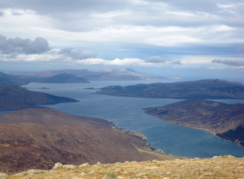
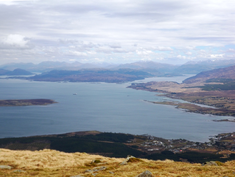
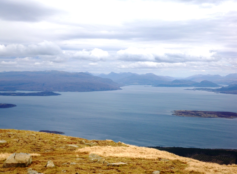
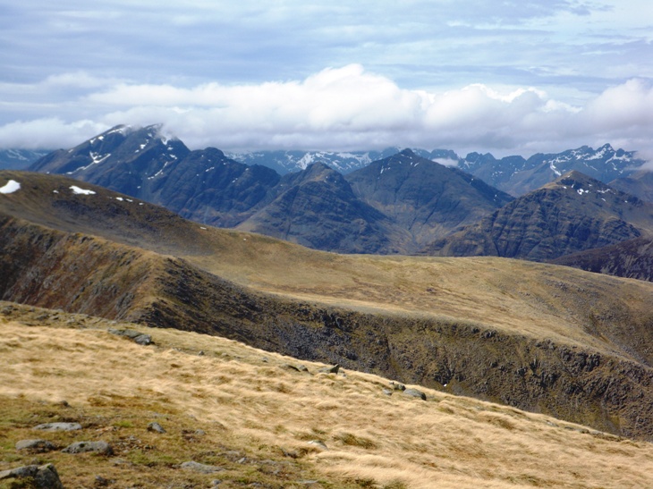
Saturday 7th April 2018 — Meall Bhuidhe, Bridge of Gaur
Members of party: Diane, Trl, Andrew, Gerry, Robert P, Gavin, Chris, Fiona.
What a great idea — to do a distant Munro using public transport — take the train to Kinloch Rannoch, and “Dial a Bus” to Bridge of Gaur. Meall Bhuidhe “Glen Lyon”, became Meall Bhuidhe “Rannoch”!
The weather was fine and high water in the Allt Sloc na Creadha meant we went well upstream before finding a rather dodgy crossing. Gavin went first, helping others on to the overhanging snow on the far bank!
Our route took us up the western slopes of the hill, almost directly to its summit. We then proceeded northwards over Garbh Mheall, and down soft snow slopes to the bridge at the confluence with the Allt Caile.
Andrew and Gerry had opted to do Leagag, 601m, a Marilyn to the north of the main route. Gavin continued the main route to include this summit also.
Meanwhile the others reversed the outward route back to Bridge of Gaur.
We all had a pleasant 15 minute wait for the returning mini bus, and back to the railway station for tea and cakes.
Fiona
Andrew and I had decided on a rather more relaxed day than the others. As they headed up the track at high speed, we followed more sedately, having plenty of time for our objective — the Marilyn “Leagag”. We ascended the W ridge, grass at first then rocky outcrops with patches of very wet snow. Views to the S were dominated by Garbh Mheall and a glimpse of Meal Buidhe behind. Elsewhere we could see familiar peaks, some topped with cloud and all from a new angle. We descended E picking our way between crags and disturbing a herd of deer. The track N took us past some patches of old Caledonian pine forest near the river. We then followed a grassy track through more mixed woodland — delightful until the path deteriorated into serious bog and peat hags but we eventually found our way down to Little Finnart and the road back. Ten minutes later the others arrived. They’d also had a good day.
Gerry
Photo from Trl (looking back at the summit):
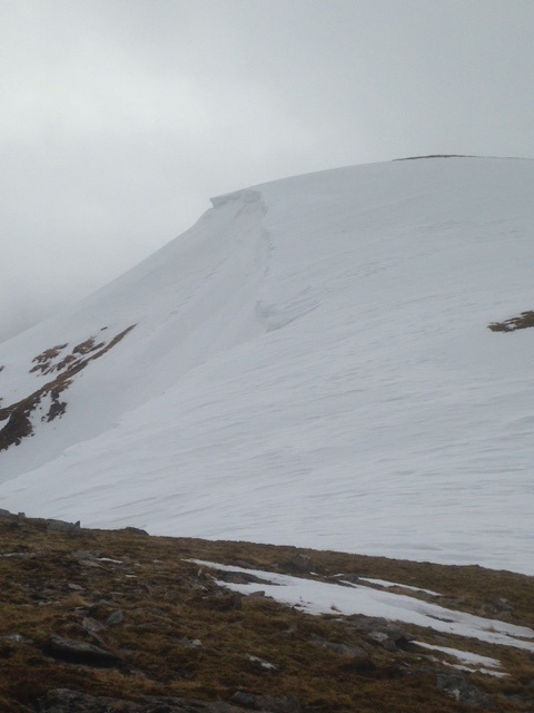
Photos from Chris:
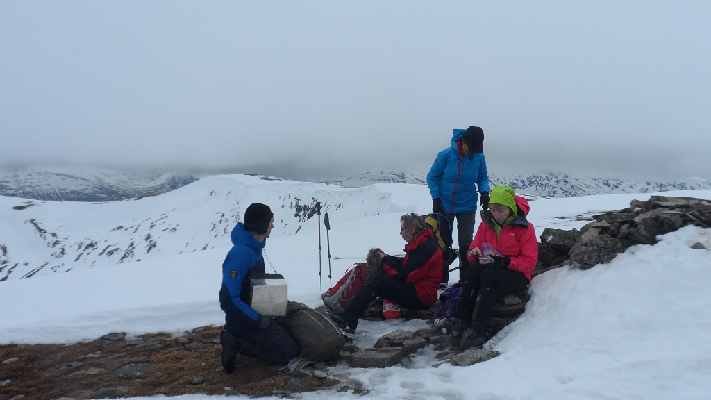
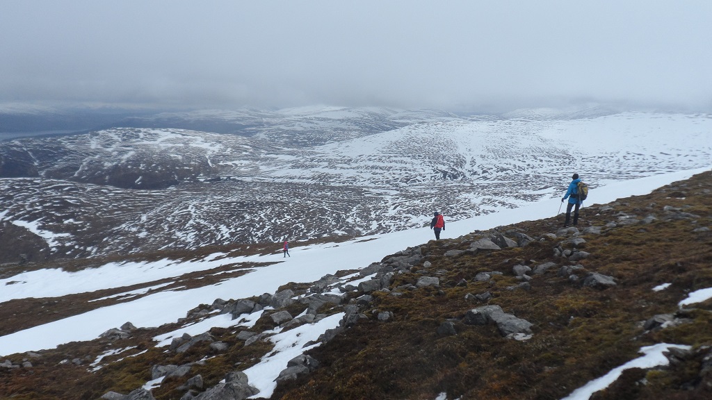
Sunday 1st April 2018 — Beinn Fhionnlaidh
Wow, another superb day for the Nevis Hillwalkers. Five of us out on Beinn Fhionnlaidh — John, Dave, Jenny, Liz and Ken. Sunshine all day and superb views. On the way up we were island spotting Mull, Jura (the Paps), Eigg (the Sgurr), Rum and maybe Coll or Tiree in the distance. We followed the route in the programme — the lochans were both frozen over and snow covered. Hard icy snow higher up, but not a problem as the ground was not too steep here. Fantastic views from the top — Ben Nevis, the Loch Etive hills and the Cruachan hills. We rounded of a lovely day in the Creggan Inn.
Ken
Photos from Ken:
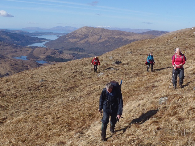
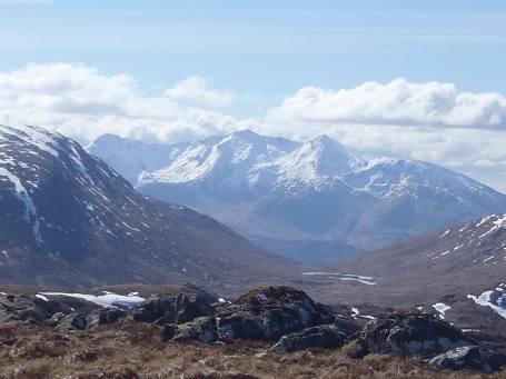
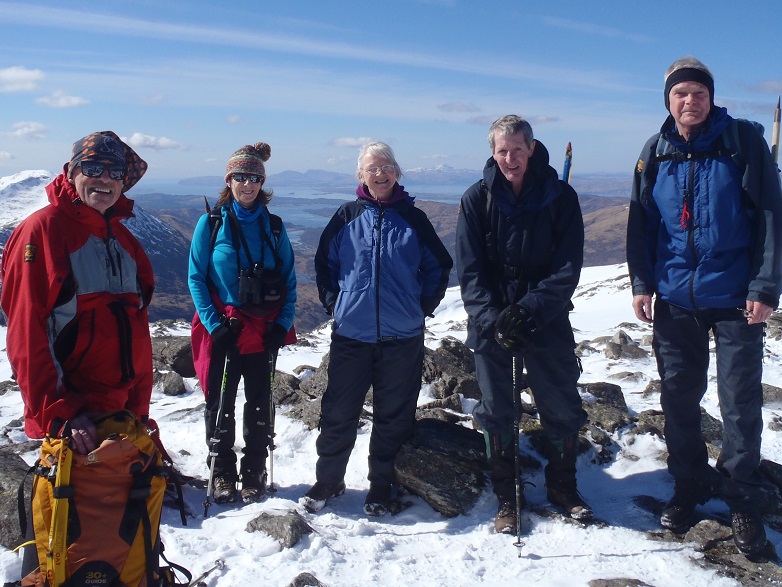
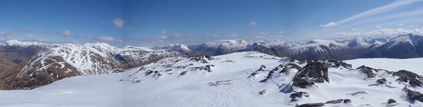
Photos from Dave:
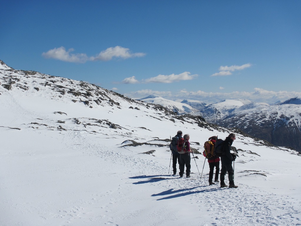
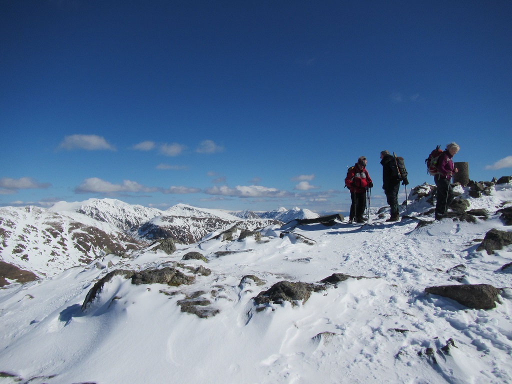
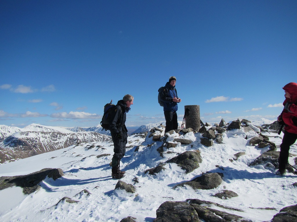
Saturday 24th March 2018 — Carn Liath & Stob Poite Coire Ardair (Creag Meagaidh)
The mixed weather of the preceding week continued only it contrived to combine everything into one 8 hour period. Alex, Chris, Dave, Gavin, Jenny, Kevin and Robert set off in sunshine up Allt Coire Ardair, a good path with the regenerating birch beginning to look more like a woodland after many years of slow growth. The snow lay in drifts across the route as we approached the lochan. Above the frozen surface, the dark, impressive cliffs and gullies of Creag Meagaidh were etched in white snow and ice. The sharp eyed among us spotted small figures working their way up some of these gullies for some ice climbing. Fortunately the majority opted to continue with planned walk and tackle the ascent via the Window and not one of these alternative routes!
One of the snow showers hit as we approached the bealach at the top of the Window, where the strong wind drove the fine flakes into our faces making progress difficult for a while. A couple of the group took in Creag Meagaidh and one of its ex-tops before following the main party onto Stob Poite Coire Ardair. The decision to do the planned route in reverse proved to be a good one with the wind now in our backs along with the regular snow showers. The snow was variable along the ridge but was firm enough to making walking straight forward. The wind had scoured some areas clear and created cornices on the north and east edges, which we gave a wide berth. For a fleeting moment, one of the clouds drifting across the ridge contained a white rainbow. The cairn of Carn Liath, the second (or third) Munro of the day, was an impressive ice sculpture, but not a place to linger too long as yet another snow shower enveloped us.
The white ptarmigan was a welcome sight on the way down although the croak and flight suggested that the feeling was not mutual. The descend off Carn Liath provided an opportunity for some boot “ski-ing” in near perfect snow conditions. “Near perfect” however, would not be an apt description of the skiers’ style! Below the snow line we stopped to enjoy some late sunshine and the definite feeling that spring is on its way, in the glen, at least.
Chris
7 met up at the car park: Alex, Chris, Gavin, Robert, David, Jenny, and myself. It was soon decided to reverse the route to have the wind at our backs on the top and we set off in glorious sunshine. Jenny and Dave were adamant that they were going to go at their own pace and that they might see us at lunch time. The snow was firm but not icy and the going was fairly easy and although there were snow showers most of the time we had a great view of several pairs of climbers on the crags to the north of Poite Coire Ardair. The wind funnelled through the window making visibility very poor but Gavin and Chris decided to dash out to Creag Meagaidh donning crampons for a short spell. Alex, Robert, and I plodded on as planned with David and Jenny not far shy of the Window. The weather was good at the summit of Stob Poite and we were treated to good views but were well pleased to have the wind at our backs as we set off along the ridge. Visibility fluctuated with the snow showers and was probably at its lowest as we negotiated a short but steep snow covered drop off Meall an t-Snaim in to Uinneag Corrie a' Chaorainn. A shadowy figure on the opposite slope shouting to us and letting us know where he had come down a couple of minutes before. (His footsteps already filled in). It was here The fast crew caught us up and reported they had not passed the other two and we surmised they must have turned back. No views from the top of Carn Laith and an easy descent back to the cars where we found Dave and Jenny's van already gone. All in all an excellent day.
Kev
Photos from Chris:
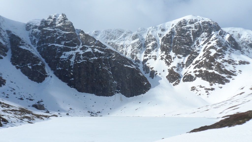
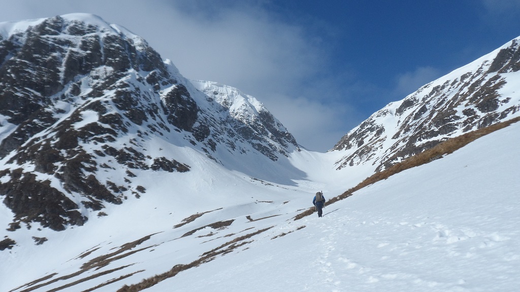
Photos from Kevin:
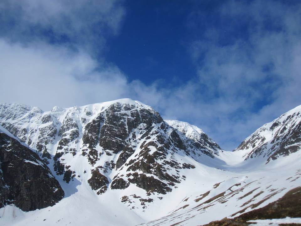
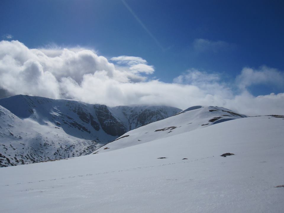

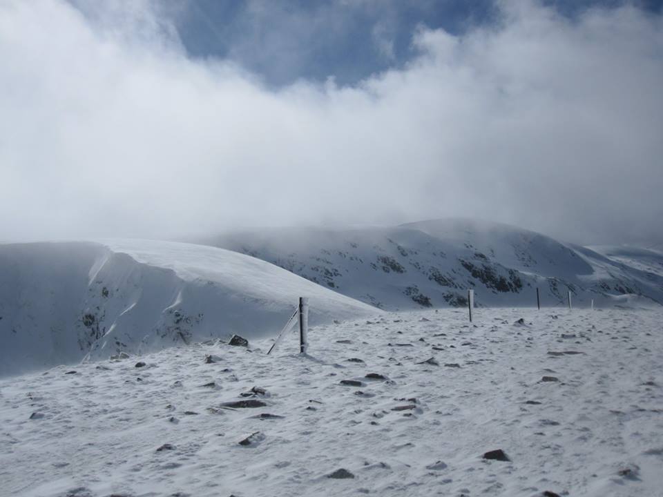
Sunday 18th March 2018 — Aonach Beag & Aonach Mor
The weather forecast was for snow flurries, clear skies and moderate winds (well, it was right on most counts). Prior to the start of the walk, Andrew and Gerry had said that they would do some of the hill, but probably not all. Angela and I had decided to attempt Aonach Beag but Aonach Mor was unlikely. Trl was keen to do both and Andrew W (guest) wanted to get out on the hills and do whatever he could.
Walking through the gorge, the wind was cold but not too strong, and as we came out into the meadow, we could see the Steall Falls frozen almost solid. We headed up the path along the burn towards Sgurr a' Bhuic. We turned more to the NE at about 700m and encountered the first snow. It was hard-packed with ice and ideal for crampons, so they were deployed. The snow was good but in places very steep and tricky. It levelled out and we stopped for a break and Andrew and Gerry decide they had gone far enough. We four carried on on a wide ridge up a gradual slope until we reached the cairn on Sgurr a' Bhuic. The views all the way up were spectacular with the sun shining on the snow on the surrounding hills, including the Ben. The wind was stronger with some severe gusts producing some spindrift. We dropped down to a col avoiding the edge of the ridge. At the col, Angela and I told Trl and Andrew W that we were going to head back down the corrie, but if they wished to continue, they could. While they were debating this, an extremely fierce gust of wind nearly blew us all over. That made the decision for them, as to continue up the steep and exposed ridge would have been potentially dangerous. Therefore the four of us went down the corrie on perfect snow with the wind behind us and decreasing as we descended. So, no Munros were climbed that day (just a Munro top). After a little while, we caught up with Andrew and Gerry and dropped down into the glen, where we stopped for a break alongside an ice-encrusted burn. Here Trl decided it would be refreshing to have a paddle. So, off came the boots and socks and in she went while the rest of us just looked on shivering at the thought. Entering the meadow from the east, we came across quite a few tourists with more coming through the gorge. The wind was at our backs but was even stronger than in the morning, so it was good to get back to the cars.
We enjoyed coffee and chat in the Woollen Mill afterwards.
John
Sunday 4th March 2018 — Beinn Odhar Mhor & Beinn Odhar Beag, Glenfinnan
Four people, John B, Angela, Ivan and Trl, were not deterred by the cold weather currently sweeping over the country and set out early on Sunday morning to climb Beinn Odhar Mhor and Beinn Odhar Bheag. We started the walk from the lay-by on the A830, crossed the railway and headed SW up the hill. The ground was frozen with patches of ice but easily avoided at lower level and as we ascended the snow patches grew bigger. As we reached the water shed of the path at 400m crampons were needed and we headed S up the ridge to the small lochan at NM846801 and then SE to the summit of Beinn Odhar Mhor. The visibility was reasonably good for most of the ascent but a very cold wind from E made the climb up to the summit harder and we could find no shelter for a quick break so we carried on. Sudden changes in visibility caused by snow flurries and spin drift necessitated some navigation to get us along the ridge but the main problem was gusts of wind, at times very hard to stay upright. We did find some shelter behind some larger boulders for a much welcomed break before heading up the final summit of Beinn Odhar Bheag. This final steep climb was perhaps made a bit easier as we literally were blown up the hillside to the summit, a very quick ascent. The prospect of having to walk against the high winds to return the same way back was not very inviting so a decision was made to descent the ridge to the Bealach a Choire Bhuidhe. A great descent with crampons on the hard packed snow and clear views of the hills around, even glimpses of sunshine here and there for short moments. From the Bealach we continued the descent NE and crossed the Allt a' Coire Bhuidhe and followed this N to a small bridge NM838803, then NE around the col and back to start of walk. It was a bit of a scramble around the N side of the col but we enjoyed some spectacular views from here. A great day out despite the cold wind, walking on frozen ground made a first of dry boots after a walk in Scotland for Ivan.
Trl
Photos from Ivan:
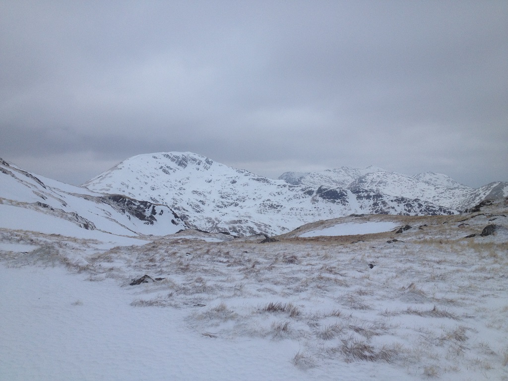
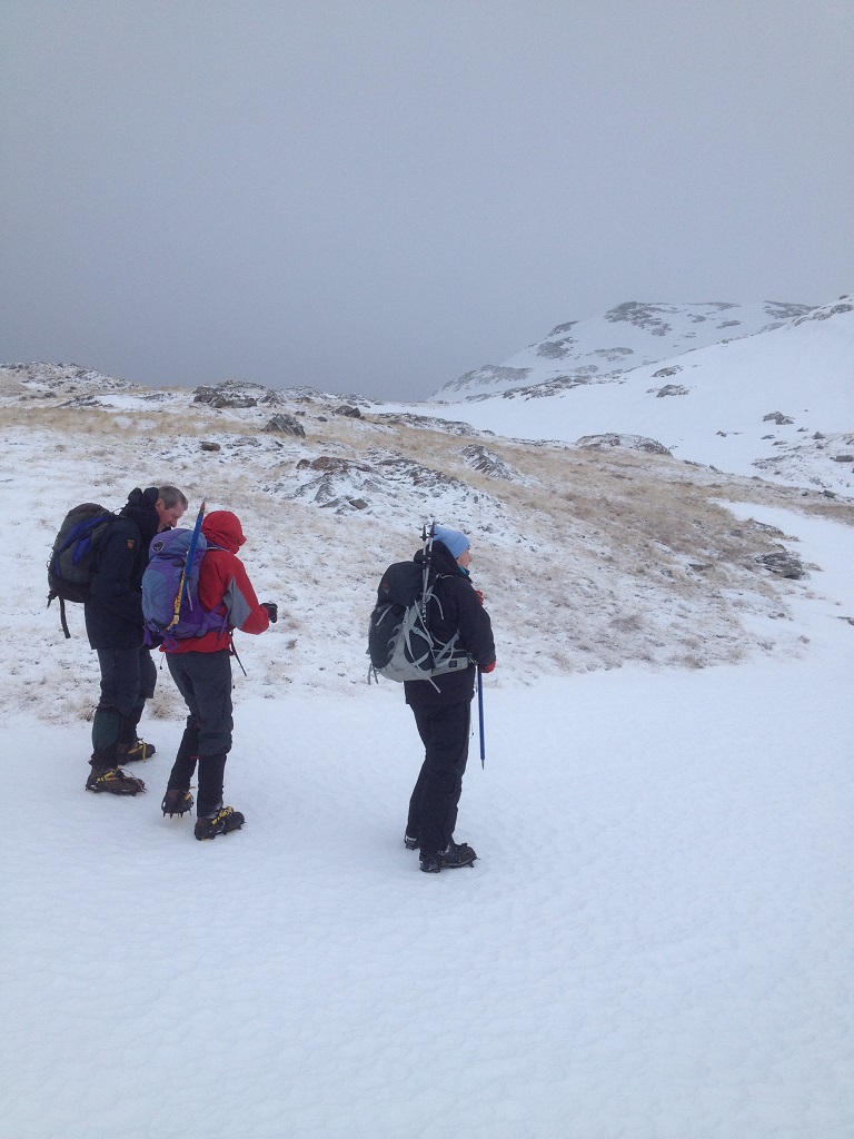
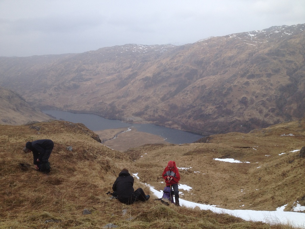
Saturday 24th February 2018 — Stob Coir’an Albannaich & Meall nan Eun
A challenging walk but an improving weather forecast during the week enticed four members out on Saturday’s walk above Glen Etive. Alex, Willie, Poyao and Chris set off along the track across the river to the base of Beinn Chaorach’s north west ridge. The ascent was steep with care needed to avoid a slide on the ice mixed in among the grass and crags. It was a relief when the gradient eased a bit and hands were no longer required to assist the walk. Beyond Beinn Chaorach the snow cover increased but was now hard packed and relatively easy to walk over with just the occasional duck on ice impersonation. The gullies of the burns beyond Beinn Chaorach were transformed by the snow and sunshine into a landscape of imagined glaciers and ice caps. The forecast of strong SE winds proved to be correct and it was a hard, steady pull up onto our first Munro of the day, Stob Coir’an Albannaich, heads down and hoods up tight. We only stopped on the top long enough to tie on the crampons. NB something we should have done earlier when the wind was a little less severe; the same principle also applying to putting on an extra layer.
The descend off Stob Coir’an Albannaich was steep and we were wary of the remains of some significant cornicing on its sharp SE ridge. The route took us over the edge once clear of the crags but it was with some trepidation we approached the point where some walkers before us appeared to have descended. It was steep but manageable although we were still relieved to be clear of the gully and to find some shelter from the wind for a late lunch. The second Munro (Meall nan Eun) was more straight forward and the wind, although still strong, had eased a little allowing us to enjoy the superb view; 360 degrees of snow capped mountains. The view over Bidean nam Bian and the mountains of Glen Coe to the Mamores and Ben Nevis was Alpine in its grandeur and beauty.
The descent into the Allt Ceitlein began with a cautious working our way down a small ridge between two shallow gullies, made a little more challenging by the cracks in the snow packs on either side of the ridge. Safely passed this part there was time to have a quick practice at ice axe braking before dodging from snow patch to snow patch until we reached a sunny spot to remove the crampons.
Glen Ceitlein was now free of snow and it was a steady walk back to rejoin the starting track at the bridge, above us the snow and crags and frozen waterfalls. We had seen the occasional deer on the walk with a particular fine young stag in it velvet brown coat watching us from the inside of the deer fence. On the road out, however, there were deer everywhere including a group enjoying the attention of some tourists, so tame that they were happy to pose for a selfie!
Chris
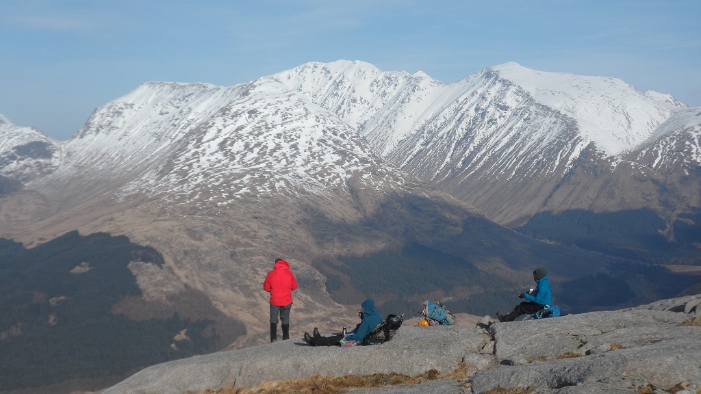

Sunday 18th February 2018 — Beinn Challuim, Tyndrum
On the drive, there was snow at the side of the road towards Tyndrum, but when we arrived at the start point, the snow was much higher, probably about 500m. We, John F, Ivan and I, had decided to do the walk up and back, because the suggested route of descent was very steep and led into a corrie that had a fairly new forestry plantation, surrounded by an electric fence.
Following the suggested route of ascent, we came to the deer fence that took us up easy slopes and over the two stiles, but the peat hags appear to have been levelled by the farm to stop erosion. Walking into the snow, there were clear footprints that followed the fence, and we followed them. At about 600m, we entered the mist, so from then we had no views at all. Using the fence and footprints made for easier walking and navigating, and on the way up, we met two skiers. Shortly before the south summit, we met them coming down, complaining that the snow was not good for skiing. At the south summit, there were more walkers and a cold wind. We carried on following the footprints (and a compass bearing!) to the main summit, where the footprints stopped. The mist was quite thick and it was difficult to verify that we were actually at the top. It was too cold to linger, so we retraced our steps, and descended the way we had come up. Lower down the snow was wet and very slippery, but apart from a couple of slides, there were no mishaps. There was quite a lot of snow, but crampons and ice axes were not required at all.
We had tasty coffee in the Artisan Cafe near Tyndrum.
John
Sunday 4th February 2018 — Beinn Achaladair
This was another wonderful winter's day with clear skies and no wind. There were six on the walk—Trl, Angela, Rick (prospective new member), Alex (all the way from Inverurie), Poyao and me.
We had decided to head for Beinn Achaladair first, as to do the whole programmed walk meant about 20km with 1300m ascent, which is a long way for this time of year. This also gave us the option to decide whether to try the whole walk once we had reached the first summit (although three of us had already decided to do only Beinn Achaladair). The start of the walk was not very interesting, but it did get better. This involved an approach via a wet and muddy path on the west side of the Allt Coire Achaladair, over the railway line and up to the col between Beinn Achaladair and Beinn an Dothaidh. We could see a group of seven climbers on the extremely steep approach to Beinn an Dothaidh. Before we reached the col, we crossed the burn and that was where the snow really started. It was fairly deep with a crust on top that often gave way, making it hard going. The ascent of the ridge was uneventful, but on reaching the summit, the views were breath-taking. Here, Alex and Rick debated whether to tackle the second Munro, but decided not to, and so all of us descended the same way we had come up. Three of us put on crampons, as there were some icy patches on the ridge. On the ridge, we met a walker who pointed out a big cloud bank to our south that he said was bad weather from Crianlarich southwards (lucky us!). We managed to find a slightly less wet and muddy path down to the cars and drove to the Bridge of Orchy Hotel for refreshments.
John
Saturday 13th January 2018 — Beinn Chabhair
After a spell of good weather, Saturday dawned with cloud and the threat of rain, nevertheless nine of us set out from Inveranan for Beinn Chabhair. The steep climb through the open woodland, passed the water fall on the Beinn Glas burn, brought us out into the open upper glen and our hill somewhere in the indistinguishable line between the land and the sky. Here the group split with Andrew, Jerry and John heading for Ben Glas and Lochan a Chaisteil while Gavin, Ivan, Ken, Angela and Chris along with Jan, a guest for the day, continued towards Beinn Chabhair. At first the ground was a patchwork of snow, ice, heather, grass and bog leading up to Lochan Beinn Chabhair. As we approached the frozen lochan, the summit of our mountain remained shrouded in cloud and we left the relative shelter of the glen. Taking a NE line from the far end of the lochan we began to ascend the steep show covered slopes. The landscape around become black and white with the dark crags the only contrast to the white snow. Somewhere around 600m we donned the crampons and extracted ice axes before continuing to make our way up snowy slopes between the crags and quickly entered the cloud. Here the wind had sculptured the snow on every surface into delicate feathers which together gave the appearance of the rough coat of a bear. The wind intensity was increasing and the spin drift at times making seeing difficult. Navigation now became more challenging but aided by the remains of the footsteps of walkers from earlier in the week. In these conditions reaching the summit area was deemed sufficient as the visibility, exposure and now falling snow mixing with spin drift made searching for the big cairn a step too far. In the conditions we also opted to return the way we had come, leaving the interesting looking route back via Ben Glas for a better day. The two groups reunited at the Drover’s Inn voted, if you believe the T-shirt, the best pub in Scotland…in 1705…but still a good place for a drink and a review of the day’s adventure, making sure not to offend the stuffed brown bear on the way in.
Chris
Photos from Jan:

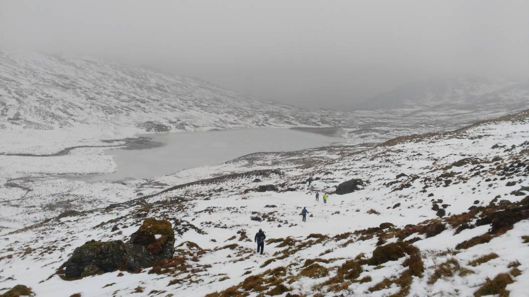
Photo from Ken:
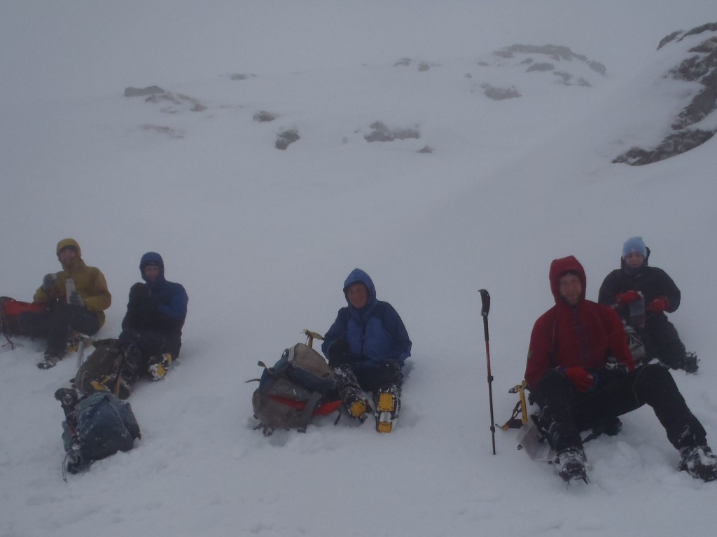
Sunday 7th January 2018 — Beinn a'Chaisteil & Beinn nan Fuaran
The skies were clear (no rain!), the winds were light, there was snow on the hills, but none on the roads. In other words, it was a nearly perfect winter day for walking. But only two went out-Kev and me. Perhaps it was because it was Sunday?
We set of on the scheduled route on the track to the viaduct and then the track into Glen Coralan (seeing a single deer on the way). On the way, we noticed that there is a track for a hydro scheme to the SW of the Allt Coralan, leading to a dam at the waterfall. There was no snow to this point, but as we headed north to the ridge, we encountered it. The ground was frozen and the snow mainly firm to walk on. So the ascent to the summit was straightforward but hard-going, although I took out my ice-axe for a steep climb in deep snow. We nearly missed the summit as there were some substantial fence-posts covered in ice and snow that looked like cairns. At the summit cairn, the views were of the nearby Munros of Beinn Dorain, Creag Mhor and Corbett Cam Chreag. Going NNE to the saddle, the snow was again a mixture of firm and soft. When we got there, I had to tell Kev that I was not up to doing the second hill, Beinn nan Fuearan. So we decided to call it a day and make our descent.
However, we did not go down the way suggested in the route description, but instead went SE into the glen. This was longer, but much less steep and avoided the river crossings. On the descent, we saw a flurry of voles as they ran one after the other along a vole run to a small rock where we could see them hiding.
In the glen, the ground was frozen which made the walking easier and much drier than it would be normally. Rounding the nose of the SE ridge of Beinn a' Chaisteil, we came to a quad bike track that led us back to the track of our ascent. We dropped down to the dam to see if we could join the lower track on the SE side of Glen Coralan, but were unable to cross the burn as there was a gorge. So we continued along the track until we came to a turn-off that did lead to the lower track. We followed this until it joined the main track at the turbine house for the hydro scheme.
Amazingly, although the ground was frozen and there was lots of snow, there was no ice and so we did not need our crampons on the whole walk.
We enjoyed a coffee at the Tyndrum Inn before Kev set of on his 4 hour drive back to Northumberland and started my one hour drive to Oban.
John