Pictures and Reports from 2019 Walks

Sunday 22nd December — Fraochaidh
Walkers : Adrian, Andrew, Gabi, Gerry
Distance : 15km
Ascent : 1000m
Duration : 7 hours
Four people out with an indifferent forecast of showers and cloud. We had one shower on the way up – timed for elevenses of course but thereafter dry. The bridge in Glen Duror has not been replaced so it was a longer walk in on forest tracks from the primary school in Duror. At the end of the track, the footpath mentioned in the programme is hardly visible but a new forest path heads up steeply south so we followed this until it turned west. We left it here and continued steeply S up the hill over rough ground. A brief stop at the lochan then up into the cloud and patchy snow. There were several steep patches of hard snow on the way up the ridge but it was mainly crusty, breaking through in places – oh joy! We disturbed a couple of ptarmigan, saw some deer in the mist and finally made the top. The wind was cold and damp so we didn’t linger. Thoughts of extending the day and doing the whole round had been dwindling in view of the weather, so we headed back the way we came. We had a break for lunch sheltered by some crags then continued down. Typically the cloud lifted at this point and we had some wonderful extensive views in all directions with the sun dipping in the SW over the sea. Nearing the forest boundary we were further to the west and discovered the end of a forest trail [NN011532 alt 410m]. It obviously came from somewhere so we followed it down zig zagging steeply through forest eventually rejoining our route of ascent 200m below. Though slightly longer, it was an easier descent than reversing the rough way up. Three kilometres later we were back at the car, in the twilight and just as the rain started. Refreshments at the Holly Tree.
Gerry



Tuesday 17th December — Leum Uilleim, Corrour
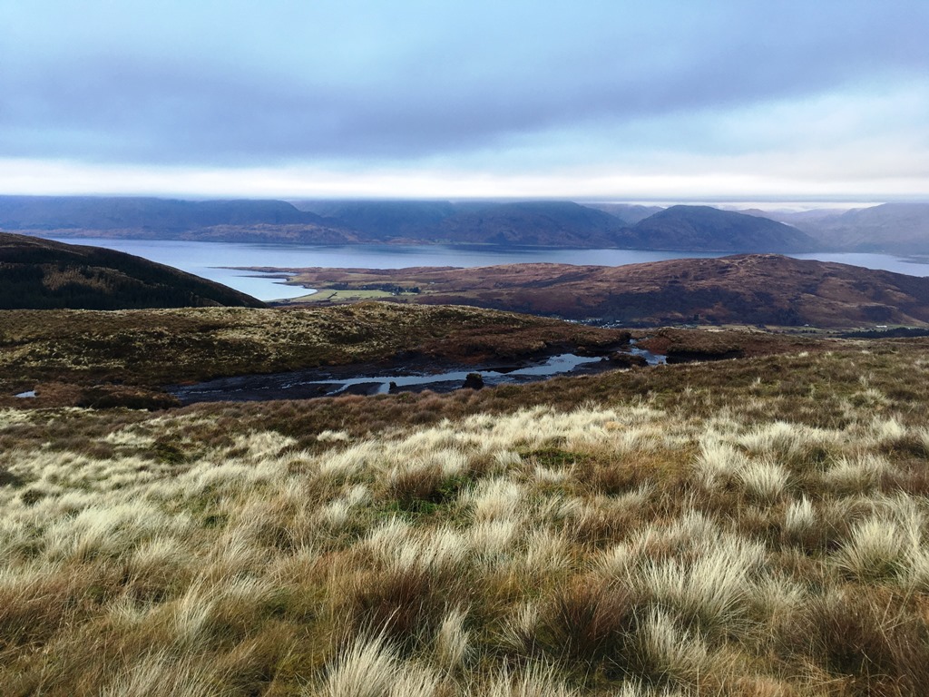
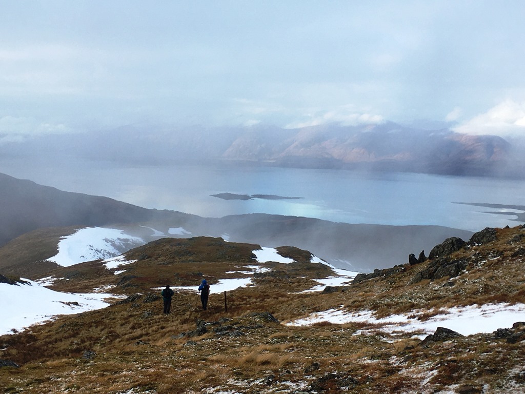
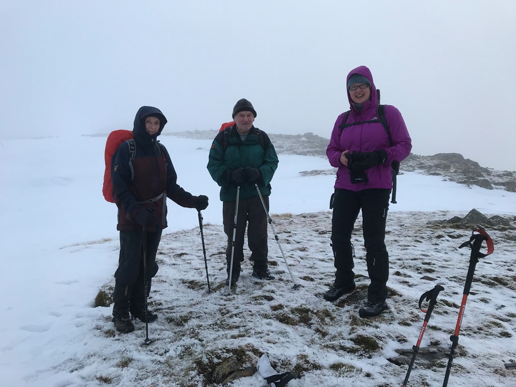
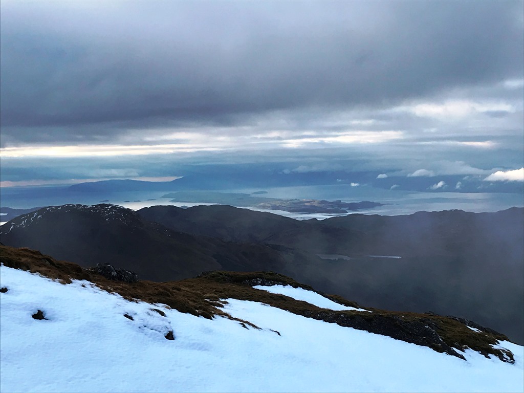
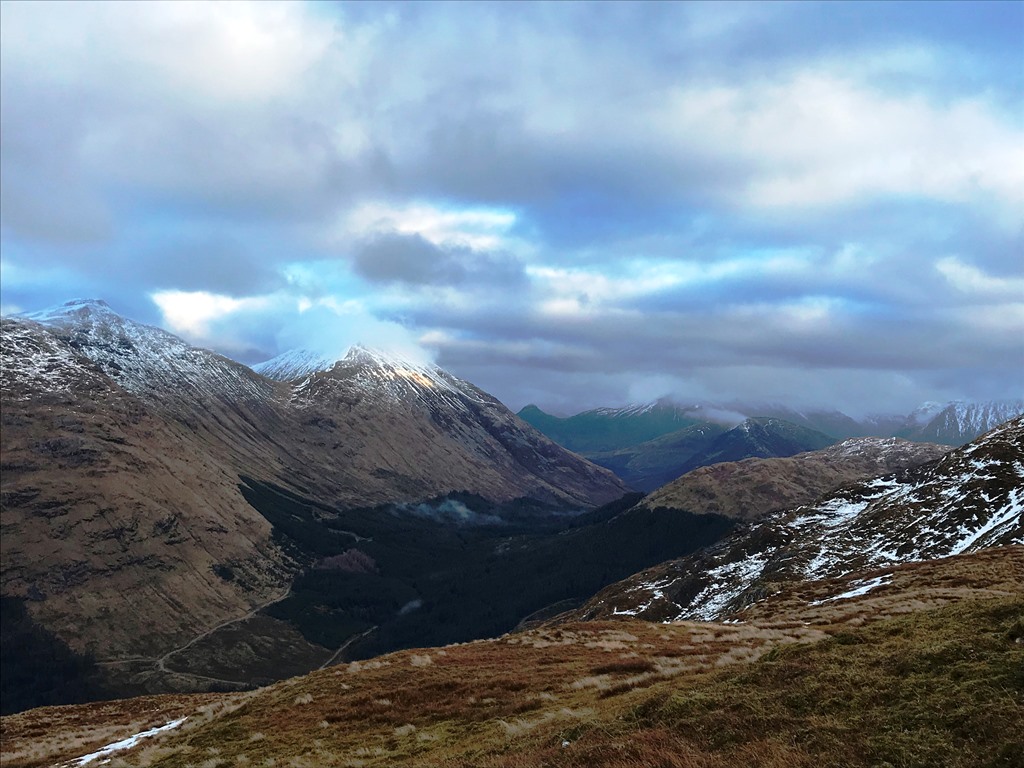
Weather and Ground Conditions : Forecast was for light snow in the morning changing to overcast in the afternoon with the occasional sunny spell. However, the light snow continued for entire walk with wind speed increasing with height. Cloud cover was low giving poor visibility between white cloud and the snow covering. Only later in the day did the sun make a very brief appearance (sadly in the distance).
Walkers : Andrew, Gavin, Jane, Kate, Ken
Distance : 12km
Ascent : 700m
Duration : 5:25 hours
Three club members joined the train in Fort William with another two boarding the train at Spean Bridge for the short train journey to Corrour station.
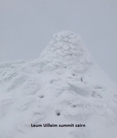
Fortified with a cup of Scotrail coffee we left the train and crossed the rails walking alongside the railway until we met the track that took us up the ridge of An Doillaid. The snow was soft underfoot and ground quite boggy and as we gained height the track became barely visible. Making steady progress following in Gavin’s footsteps (yes, as per usual he was setting a cracking pace ☺) we soon reached the cairn waymarker and stopped for a short refreshment break. Visibility was poor and frequent checking of GPS was required to ensure we were keeping on the correct bearing. The depth of snow was variable and it was really difficult to read the terrain. One moment you were walking on wind scoured ground and the next up to mid thigh where the snow had accumulated in the indiscernible gullies. Snow shoes would have been a better choice rather than the crampons and axes we were all carrying. Walking on to the small summit Beinn a’ Bhric we then headed in an easterly direction down to a col. The wind was starting to increase and for a short while we were being hit with spin drift but thankfully the wind direction kept it out of our faces. We soon saw the very white frosted outline of the shapely cairn of Leum Uilleim and we stopped for a welcome lunchbreak.
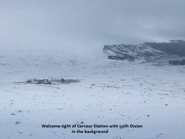
As we descended, we left the cloud behind and the view of Corrour Station and Loch Ossian in the background slowly revealed itself. Even more deep snow to contend with; I don’t think any of the group avoided taking the odd tumble; but soft landings.
We were back at the station by 14.05hrs with over an hour to wait for the train. With the Station Restaurant closed for the winter we had the opportunity to go along to the hostel at Loch Ossian, adding another 3km onto the walk got a firm thumbs down so we had to satisfy ourselves with a festive cup of hot (non alcoholic) mulled cordial and a mince pie.
The train was on time and we headed home, separate destinations meaning the usual refreshments were given a miss.
Jane
Heavy and persistent rain at sea level with temperatures not far above zero are bound to lead to deep snow cover on the hills. Winds then move the stuff around. In this case 2 or 3 days of wind varying between SE and NW had blown it in all directions in an arc of 180 deg, so every scoop in the landscape was collecting deep accumulations. Not only was it therefore difficult to predict a good windward route of scoured snow to walk on, we were unable to see a good line to pick up because of the poor visibility. Some us may have been looking forward to a great walk on frozen snow with crampons on. However, this needs 2 or 3 days of calm weather alternating between freezing and thawing to bring it into such good condition. Snowshoes would have been more useful on the day, but few members have them.
Andrew
Being in the lead, visibility was at times zero: everywhere you looked was at times exactly the same whiteness. It was a relief to see anything sticking out of the snow to give some contrast. At times, not being able to see a horizon meant that it was easy to lose your balance. On the way down I had to kick snow ahead of me so I could see the ground in front of me and to ensure that I wasn't about to walk over an edge. Fortunately I have been up this hill a few times before, including in the last month so knew that there were no big drops to worry about. I think it was easier for those following as they had my footprints to see and follow (although they can't have been following a very straight line). All good experience.
Thank you Jane for the mulled wine and mince pies: much appreciated.
Gavin


Saturday 14th December — A’ Bhuidheanach Bheag and Carn na Caim
Weather and Ground Conditions : Mainly dry but overcast with mist on the plateau restricting visibility. Wind variable, predominantly S, light at first but increasing suddenly about midday, raising spindrift. Whiteout at times becoming constant. Deep soft snow alternating with scoured hard base.
Walkers : Andrew, Chris, Gabby, Gerry, Jane, Willie
Distance : 20km
Ascent : 850m
Duration : 7:20 hours
The route in the programme was followed. Progress was easy on hard old snow exposed by wind scour, but difficult where the drifts had built up. Limited visibility made it difficult to pick the best line to take. On approaching the quarry site on the return from A’ Bhuidheanach Bheag, there was a marked increase in wind speed which thereafter continued to build, raising sprindrift. Gerry and Gabby decided to omit Carn na Caim, but the other four carried on, although we expected to finish after sunset. The route was straightforward at first as it was possible to follow the track at times, or identify the easier scoured surfaces. The posts of the old boundary fence were visible and could be followed for much of the way. However, we were travelling downwind. It was not until we turned round after the summit that the full force of the deteriorating conditions were felt. The spindrift was fierce, composed of fine ice crystals. Added to the whiteout, this seriously impaired vision, especially for those without eye protection, exacerbated by the failing light. Our footprints had been filled in almost immediately and the track obliterated. The fence posts were useful as a guide for much of the way, thereafter we were grateful for GPS to locate the line of the track down.
We arrived at the cafe in Dalwhinnie at 1725 and met up with Gerry and Gabby who had been there for an hour and a half. It was just about to close but the barman made us carry-out coffees which we drank in the cars before heading back.
Andrew
A really challenging day. The depth of the soft snow made for tough going and we took a battering from the strengthening wind and icy spin drift as the weather deteriorated. Despite the worsening conditions, I was really pleased to have done the second summit and even more thankful for the good navigation skills that got us back to the path for the walk out as darkness descended.
Jane
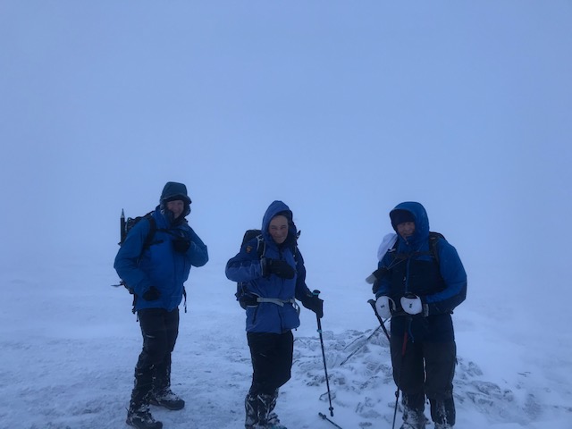
Sunday 8th December — Beinn Bhàn, Glen Loy
Weather and Ground Conditions : Clusters of showers increasing in length and intensity around midday. Gusty winds and a significant wind chill. Very wet underfoot with rivers in spate. Occasional brighter spells and the odd glimpse of blue sky.
Walkers : Andrew, Jane
Distance : 16km
Ascent : 320m
Duration : 4:45 hours
The anticipated five walkers reduced to just two due to the poor weather prospects.
MWIS forecast at corbett height stated the rain would be falling as snow with poor visibility and the risk of hail and thunder so it was decided to shelve the planned walk up Beinn Bhàn and opt for a lower level walk up Glen Loy.
Driving alongside the River Loy we were conscious of the chance of the river spilling across the road. In places it seemed perilously close and we hoped we wouldn’t encounter any problems on the drive out.
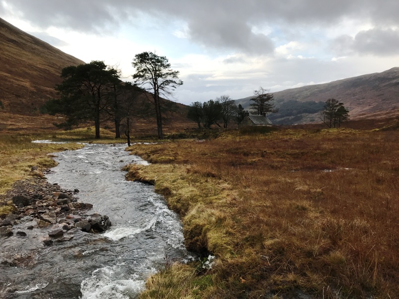
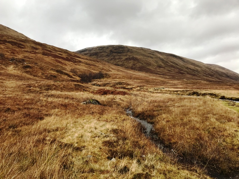
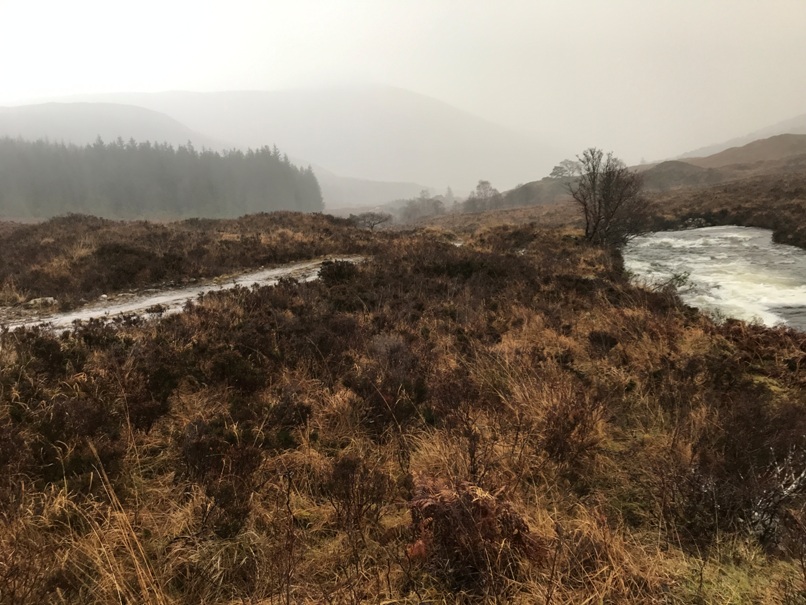
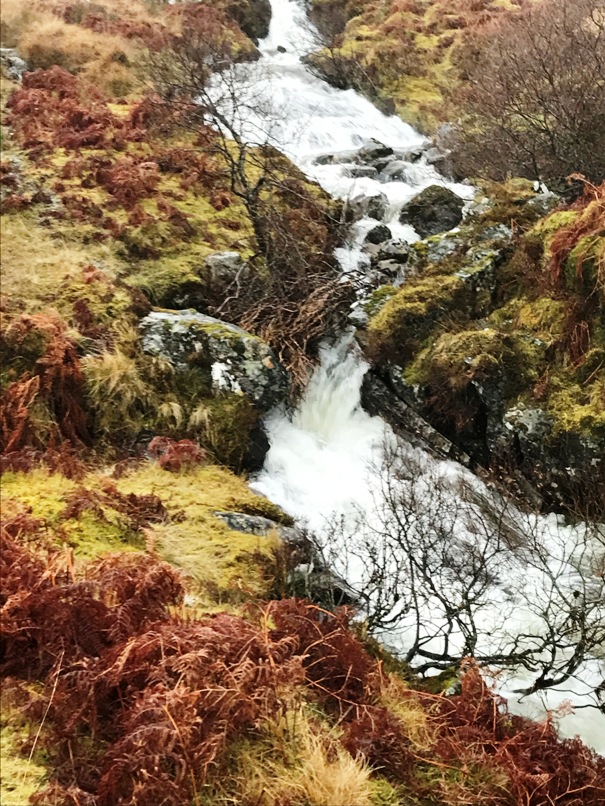
Parking at the end of the metalled road just east of Achnanellen we made our way up the glen along the good track. After sustained rain in the area over the past 48 hours the track was awash at the many fords marked on the map. We could see at higher level (Druim Fada) the increasing amount of snow accumulating and felt a great deal of sympathy for the poor sheep having to endure the poor weather. Progressing quite well we then encountered the first of two significant water courses, Allt Coire nan Loagh. Fast flowing and pretty deep we didn’t fancy trusting the wet stones and initially headed downstream to see if the flow would spread to provide a decent crossing point. However, none were to be found so we headed upstream and came across a narrowing with a fallen tree which afforded us a reasonable footing to make the crossing. The second burn Allt Fionn Doire was even wider and faster flowing and we were concerned that we wouldn’t be able to cross until we spied a small bridge. We were able to make our way to the bothy at Glensulaig and took the opportunity to have a late elevenses/early lunch break before returning along the outward path. Still the weather hadn’t finished with us and we were battered with hail and heavy rain with the irony of finishing the day with a good amount of blue sky.
Glad we had at least done a reasonable walk we headed off for well-earned refreshments at the Moorings Hotel.
Jane

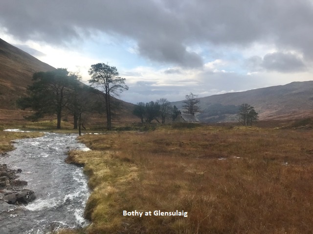


Photos from Andrew :

Saturday 30th November — Fraoch Bheinn & Sgurr Mhurlagain
Weather and Ground Conditions : Fair weather with frost. No snow, some ice.
Walkers : Adrian, Alan, Andrew, Chris, Craig, Gabby, Gerry, Jan, Jane, Kate, Ken
Distance : 11-12km
Ascent : 1200m
Duration : 7 hours
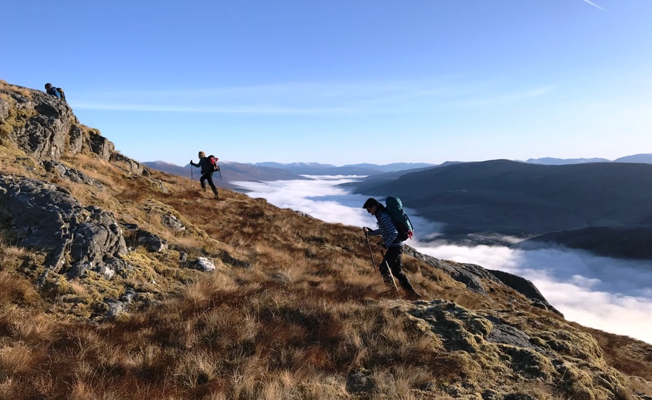
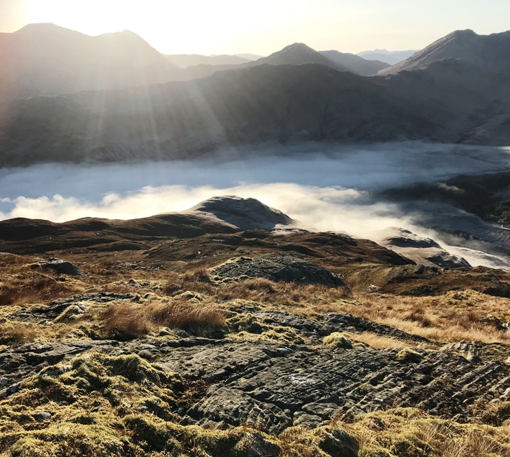
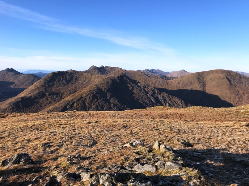
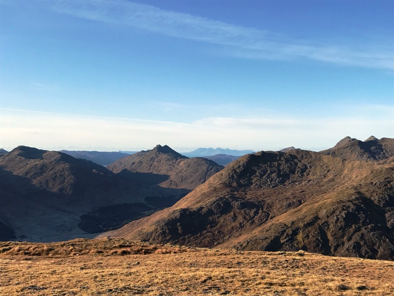
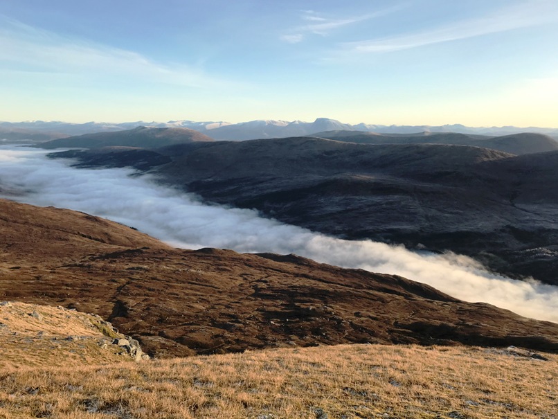
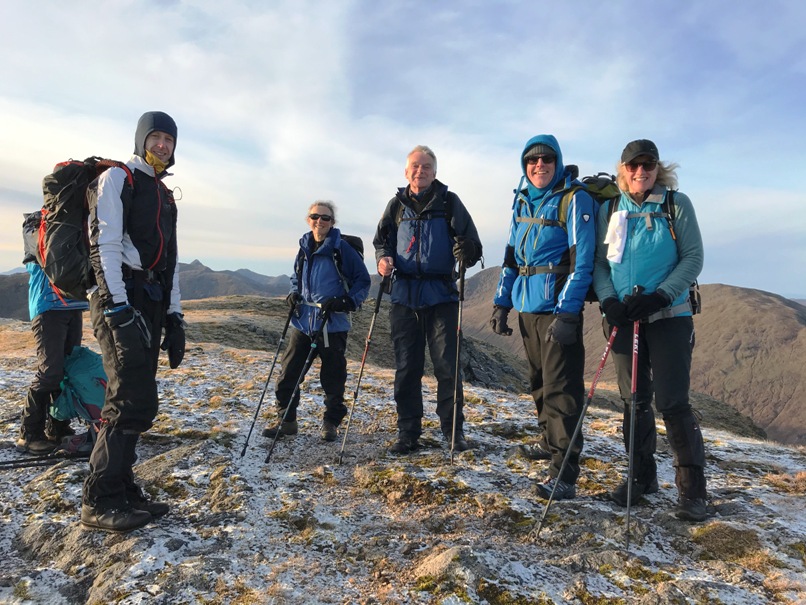
Two remote Corbettes on the NW side of Loch Arkaig, accessed along the long road with many humps. Many stags were present in the frosty mist. Thanks to the drivers for driving that road. Sorry to Kate for the window handle. Fraoch Bheinn’s south ridge gave a special view of the glens: Gleann a Chaorainn with Streap prominent, Glen Dessary and Loch Arkaig which spent the whole day under cloud. As we got higher the frost left us but stayed in the shadow of the glens. But the ground was still hard and the odd patch of ice confirmed it was still cold conditions despite the sunshine. Going down Fraoch Bheinn was a little Streap I mean steep but we picked our way through some crags with the odd patch of ice. The col between the hills would’ve been boggy but fortunately most of it was frozen. The way up Sgurr Mhurlagain was straight forward but surprisingly taxing. Excellent views of Ben Nevis, Carn Mor Dearg and Aonach Mor. Also Loch Arkaig which seemed to be mostly in the same condition we left it in: frosty and misty. A wee pit stop at The Moorings before heading home.
Alan
Photos from Andrew:






Sunday 24th November — Am Bodach and Sgurr an Iubhair
Weather and Ground Conditions : Brisk E wind, thick cloud enshrouding hills from 600m upwards. Fine drizzle at times in cloud, otherwise mainly dry. Visibility poor in cloud, good below cloud-base. Cold, plus wind-chill. Thaw in progress but not complete. Patches of wet snow and some old frozen patches and even ice exposed on high ridges due to wind scour.
Walkers : Adrian, Andrew, Jan, Jane, Rick, Trl
Distance : 13km
Ascent : 1200m
Duration : 6:50 hours
This unconventional and pathless approach to Am Bodach is not at all difficult if one follows the fall-lines to the rim of the corrie and then keeps to the ridges, as described in the programme. The track shows we achieved this notwithstanding the poor visibility. The views are superb. Pity about the cloud cover on the day.
Refreshments taken at the Ice Factor.
Andrew
Photos from Jane:

Tuesday 19th November — Mullach nan Coirean
Weather and Ground Conditions : Ground frozen hard from glens up, dry all day, light breeze increasing to ESE 20kts over summits with significant wind chill, causing spindrift at times. Nascent cornices evident on ridges across the wind. Visibility excellent under high partial cloud cover. Sunny intervals.
Walkers : Andrew, Jane, Rick
Distance : 17km
Ascent : 1300m
Duration : 6:30 hours
The primary route described in the programme was followed. However, a huge area of forest NW, N and E of the hill has been clear-felled and parts of the area have been re-planted. This has obliterated some of the mapped forest boundaries. The changes include a new forest road and the re-alignment of part of the WHW. The confusing terrain led to the party inadvertently splitting up and taking some time to re-group. The footpath connecting the WHW with the lower forest road is in three parts, formerly a very pleasant descent in mature woodland, providing a shorter return to Achriabhach avoiding zig-zags of the forest road. The upper section still exists but is overgrown and almost invisible in places. The central section has been obstructed by felling but its course can be followed by an agile walker. The lower section has been completely destroyed but we followed the tracks made by the harvester, assisted by the well-frozen ground.
Taking advantage of a really great hill day, when it’s this good it’s a shame the days are so short. ☹
Jane
A great walk, in full winter splendour, and new terrain for some members of the party. We would have extended the day to include Stob Ban but were deterred by the short hours of daylight available and the prospect of walking for a sustained period against the chilling wind at this altitude.
Andrew



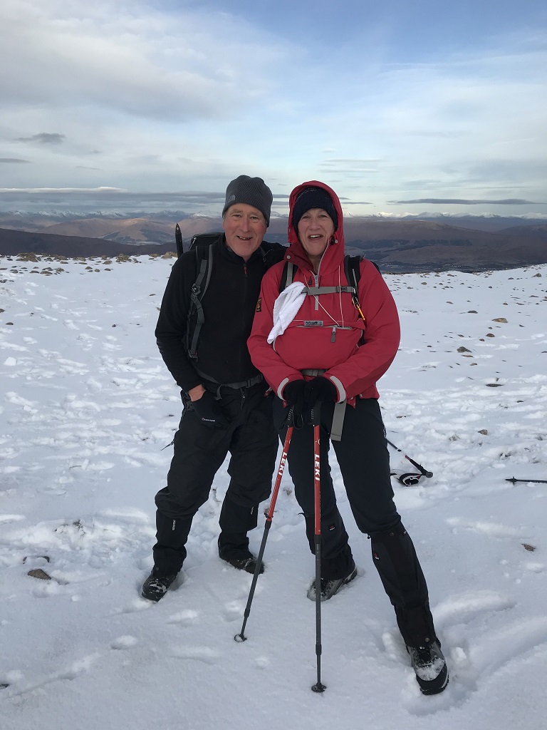
Saturday 16th November — The Cobbler, Beinn Ime and Beinn Narnain
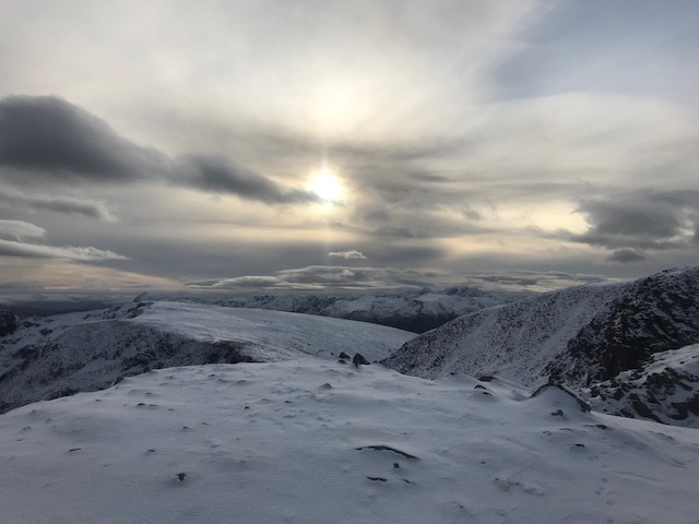
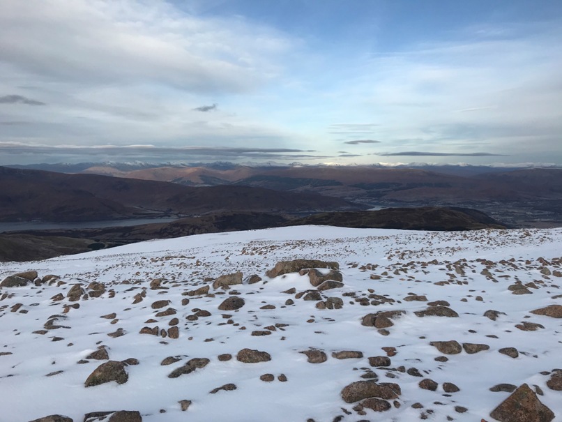
Weather and Ground Conditions : Ground frozen and patchy snow accumulations at height. Dry all day with sunny intervals and little or no wind. Visibility excellent under high scattered cloud cover.
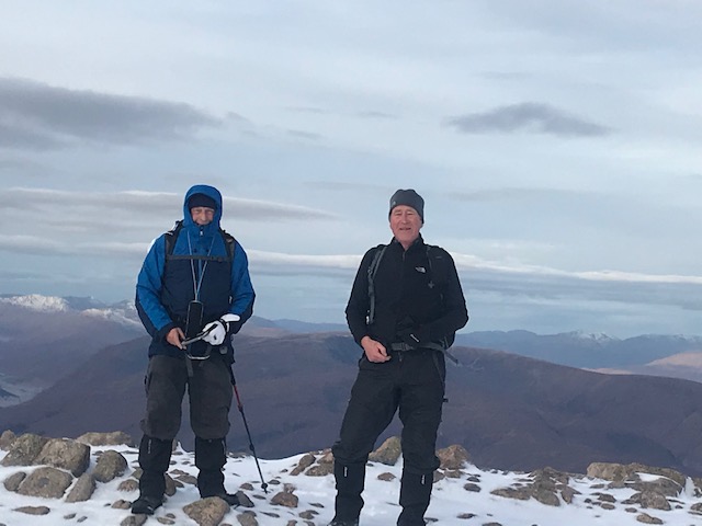
Walkers : Andrew, Craig, Gavin, Gerry, Jane, Kevin, Rick
Distance : 18km
Ascent : 1400m
Duration : 7 hours
Six club members made the lengthy car journey south to meet up with Kevin who had made an even longer journey north from Tyneside for the days walk. Gathering at the Succoth car park a group decision was made that axes and crampons would not be needed for the day.
Setting off in the sunshine the group crossed the main road and headed SW through the trees up a wide path incorporating many zig zags before emerging alongside a stream and a small hydro dam. Thankfully before we had headed too far the realisation that the parking charge had not been paid meant a member retracing steps to feed the requisite meter. It wasn’t long before they re-joined the group and we took our first refreshment break of the day by the Narnain boulders.
The three peaks of The Cobbler were clearly visible, capped in snow and inevitably icy. At this point the group decided to split, with some wishing to complete all three hills and others just one or two. Gerry headed off to walk the Cobbler, Kevin set off to tackle all three hills on the programme and Gavin was hoping to complete all three plus Beinn Luibhean. The remaining group members (Andrew, Rick, Jane, Craig) intended to do just the two Munros. Visibility was good with little or no wind and despite some deep accumulations of snow we headed up the path from Bealach a’Mhaim and were soon at the summit of Beinn Ime. The hills were extremely busy with fellow walkers making the most of the good weather. Despite being full of enthusiasm some seemed to be poorly equipped, wearing just trainers and leggings, hopefully they made it safely to the summit and home again.
As we returned back to the bealach we met Kevin on his way up to his first munro of the day. We continued to climb to the summit of Beinn Narnain; stepping through the frosted top layer of snow it was pretty tiring and tough going. Encountering a fantastic Polish couple on the summit a good few minutes exchanging photographic opportunities ensued. With no crampons and axes we decided to retrace our steps back to the main path. Gavin, who had disappeared to complete Beinn Luibhean in addition to the programmed hills struggled with the deep snow and with the possibility of cramp setting in he decided to descend with the rest of the group and return another day to complete Beinn Narnain. Meeting up with Kevin, who had completed his second Munro, the group headed back down to the car park at a decent pace in the hope of heading off any eager parking attendants. Thankfully Gerry had made it back to the car park in time to ensure no unwelcome penalty notices. The shorter winter day and snowy conditions curtailed the ambitions of the group with no-one attempting The Cobbler by the traditional route through the hole in the pinnacle and on to a very icy ledge which even in dry conditions is a considerable challenge. I’m sure the club will return in the near future to conquer The Cobbler !!!
Everyone returned safely before heading off for well-earned refreshments at the Tarbert Hotel (check out the music ???)
Jane
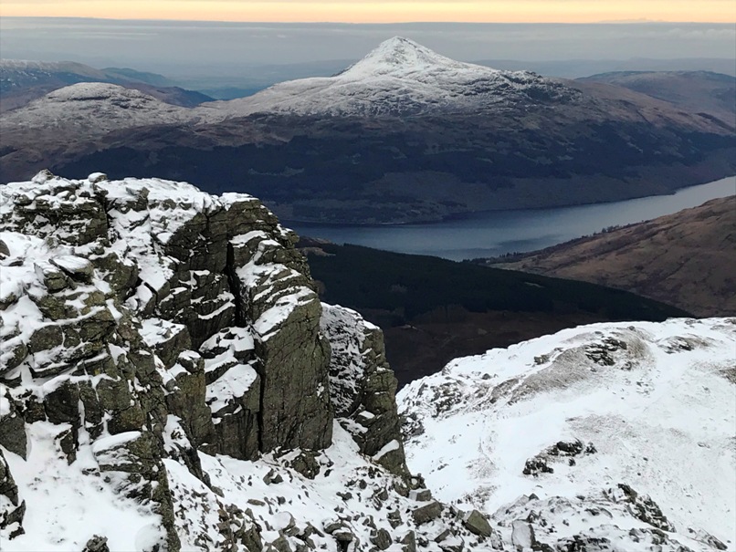

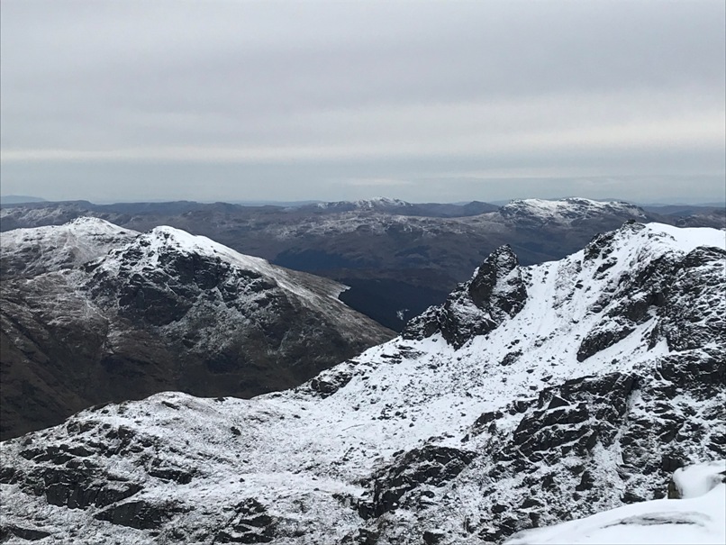
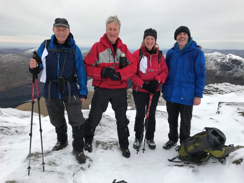

Sunday 27th November — Meall a’ Bhuachaille
Weather and Ground Conditions : Cold moderate NW breeze, showers. Good visibilty on the route but views of higher hills obscured by low cloud base. Ground wet off the constructed paths.
Walkers : Andrew, Craig, Gerry, Jane, Rick, Trl
Distance : 14km
Ascent : 800m
Duration : 5 hours
A few days before this event a fine day was in prospect for the whole country but this was not to be in the Northern Cairngorm. However, our lowly hills, the highest a mere Corbett, were clear below the cloud base for most of the walk. We missed the turning for the Badaguish Centre and backtracked. It’s a narrow single track road with few passing places, but there is ample free parking opposite the entrance to the complex. Starting from here involved a car shuttle, undertaken by Rick and Andrew. We caught the others up at elevenses before the path emerged from the shelter of the woods. The path was boggy at times, but conveniently led easily to the first summit, Craiggowrie. Here we turned SE bringing the wind astern for an easy saunter up and down over the 4 peaks on a good path. In better weather there would have been a grandstand view of the Northern corries and peaks from this evidently popular route. At the Corbett summit we were assailed by a lengthy squally shower which blotted out the views, but there was some welcome shelter where the cairn had been extended. We lunched here, then descended to Ryvoan Bothy, the cloud now clearing revealing the view below, awash with autumn colours. On the walk down the glen to Reindeer Centre, some paused at the delightful turquoise An Lochan Uaine, others walked on the main track, but only Gerry found the path mentioned in the programme. She was the last back but reported views and points of interest that make it well worth a slight diversion.
Coffees in the visitor centre cafe, then fish and chips at Joe’s Chippy in Kingussie on the way home. It is rumoured that this was the only reason for putting a Cairngorm event on the programme in late October.
Andrew
Saturday 19th October — Binnein Beag and Binnein Mor
Weather and Ground Conditions : N wind, strong and gusty at times even at low levels. Dry at first but occasional showers became more frequent during the day. Visibility good with mist forming and dispersing at times. Ground wet and burns high.
Description of Walk : Due to recent heavy rain and anticipated difficulty in crossing the Water of Nevis the coordinator modified the route to start from Kinlochleven.
Walkers : Alan, Andrew, Craig, Fiona, Gerry, Rick, Trl
The five early risers met at St. Brides School for 0825 to car share, and headed for the start at the Grey Mare’s Tail car park. We took the more direct footpath route NE, and didn’t stop until the Allt Coire nan Laogh burn crossing. Some shelter from the cold wind here so we stopped for a break. We were surprised to see Craig appear as he hadn’t booked in. He had come from Fort William by bus and had done well to catch up. We carried on up the path to Coire an Lochain and down the steep zigzags to cross the burn in Coire a’ Bhinnein. The 140m loss of height is regained gradually on the continuing path up to the col between the two Binneins. Alan and Craig strode on apace as they intended to do Binnein Beag first. The other four halted at the foot of the first of two NE ridges of Binnein Mor for lunch. This has no name but the other one is called Sron a’ Gharb-Choire, and is straight and rocky with a level section in the middle. Between them lies the small but impressive high level Garbh-choire. We decided to climb the nameless ridge as none of us had been that way before. In contrast to its neighbour, it rises at a steady gradient in graceful curves and tops out right at the summit.
Views of the Mamores were splendid from this, their highest peak, 1130m. We saw the tiny figures of Alan and Craig below heading up our ridge as we set off for the S Top, 1026m. Trl, not content with just one Top sped off ahead and turned SE towards another, Sgor Eilde Beag. Andrew, Rick and Fiona turned SW, along a fine ridge between Coire an Easain and Coire nan Laogh to Na Gruagaichean, then NW over its Top. Descending to a col, we turned down into Coire Ba on the stalkers’ path and exited on to the track to Mamore Lodge. Further down we joined the WHW to reach the car park, thence to the Ice Factor for refreshments.
Meanwhile, Trl had met Gerry at the foot of the path down the nose of Sgor Eilde Mor. Alan and Craig also went this way. We were the last to arrive.
Andrew


Sunday 13th October — Beinn a’Bheithir
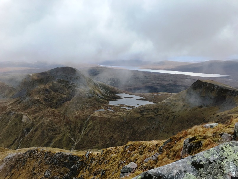
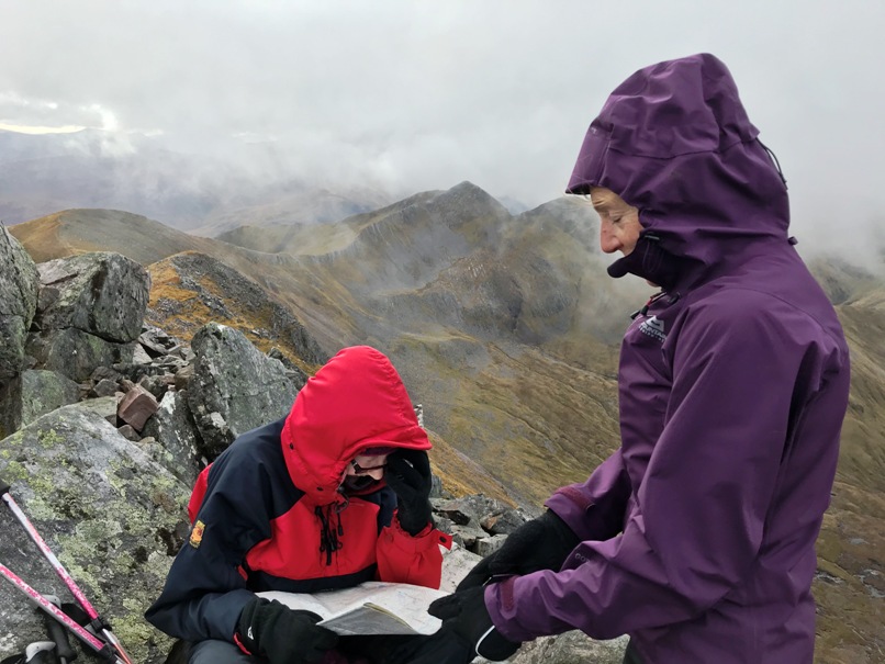
After a longer period with heavy rain, the weather forecast for the Sunday looked promising and we – Andrew, Craig, Jane, Peter and Trl - were not disappointed. A near perfect day for hill walking, no rain but no sun either, overcast and with a distinct autumnal air, a very gentle breeze and the little mist on the hills clearing. It was just great for tackling the steep ascent up from Ballachulish and the north east ridge of Sgorr Bhan. The lower part was rather soggy after all the previous rain but as we scrambled up the rock the ground was a lot drier and easy under foot. We enjoyed fabulous views in all directions at our early 11es at Sgorr Bhan whilst being ‘overtaken’ by two very young, fit guys wearing shorts and t-shirts, out for a morning stroll!! Dragging ourselves away from the scenery to the north and east we continued on the path up to Sgorr Dhearg and then onto Sgorr Dhonuill, and that was the easy walking done. The walk continued WSW along the rim of Coire Dearg to the 824m top and then continued on the undulating high ground, NNE close to the crest dropping into Gleann a’Chaolais until we reached Creag Ghorm. The terrain certainly slowed us down and in misty conditions would have been challenging, however, we were able to enjoy fabulous views to the south and west all the way down the Lynn of Lorne as far as Mull and the Garveallachs. The challenge of the day, however, proved to be the descent as we headed in a NNW direction down the very steep slope to a small building and aerial at the head of the forest track which then took us back to Glenachulish car park.
17.75km, 1440m ascent and 7.30 hours.
Trl
Photos from Andrew:

Saturday 5th October — Stob Ban and Stob Coire Claurigh
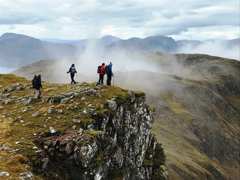
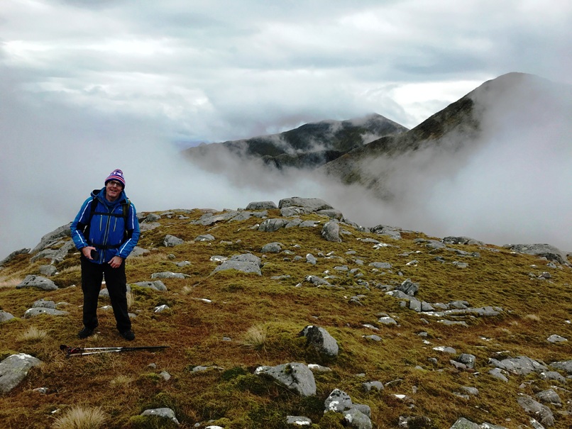
The forecast promised plenty of wind, and rain later. Andrew, Craig, Jane and Kate turned up, determined to tough it out. Kate had brought her minibus and was willing to drive it up the pot-holed track from Corriechoillle, thus saving 4km on the day. Setting off past the wooden effigy of the Wee Minister, we soon felt the force of the SE wind, amplified by its passage through the narrow and steep-sided Lairig Leacach. The intention initially was to climb Stob An by its long NE ridge but by the time we had struggled against the wind for 6km to the bothy for an early elevenses, we agreed to seek some respite on the footpath into Coire Claurigh, by-passing the slabs to reach the small col NW of Stob Ban. It was a short but steep path on loose scree to its summit from there.
The wind was ominously absent on the summit. So were the views, which had been good hitherto. Large drops of rain began to fall as we headed back down to the col. Eschewing our last chance of a shorter day in the face of bad weather, we boldly strode along the col and followed the crest of the ridge up towards the summit of Stob Coire Claurigh, 377m above. The wind resumed and provided valuable assistance at times, but the cloud closed in as the rain settled in for the rest of the day.
The rocky NNE summit ridge is a delight in good visibility and calm weather. Today it was a struggle. In bad visibility we were hand-railing the rims of Cul Choirean and Coire na Ceannain, and decided to omit the narrow rocky ridge to Stob Coire na Ceannain, exposed to the SE wind blowing across it. Moving down the slope away from the rim found us some shelter from the wind but having lost sight of the handrail, it was difficult to maintain the correct course in an extensive boulder field.
Eventually, the terrain improved but not before I slipped on a quartzite slab and took a painful blow to my right elbow. We continued downhill with no further problems and arrived back at the start at 1530.
It’s worth passing on that, although I experienced little discomfort during the descent and at Costa’s for refreshments after, when I got home, I discovered my shirtsleeve soaked with blood and a gaping wound in my elbow. This clearly required stitches, duly applied at Fort William A&E. I was told to come back for an x-ray to check for cracks in the bone and given antibiotics for a possible infection therein. On soaking my bloodied shirt in water, a tiny crystal of quartz was discovered, about 5 mm long and razor sharp. One could barely see the holes in my clothing through which it had passed.
Andrew
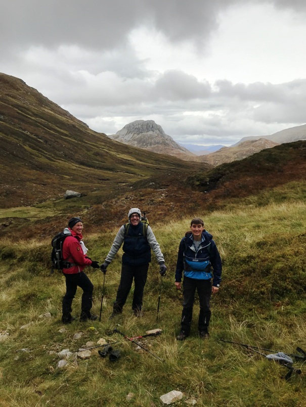
Sunday 29th September — Aonach Eagach Ridge
This walk was in memory of our walking friend Isobel Bytautus who was killed by a lightning strike whilst walking with the Ramblers group in the Mamores on 8th June 2019.
Eight people – Alan, Andrew, Jane, Jo, Kate, Kev, Steve and Trl, completed the walk. Starting at the layby on the A82 just west of Allt-na-reighir, the weather could have been better with some mist on the hills and a strong wind from the east, however, things improved slightly throughout the day and we had the wind behind us, the mist lifted and it was dry, mostly. However, the rock was wet and treacherous underfoot so we moved with caution but still enjoyed the scramble, keeping on the ridge and the fabulous views. The scramble ended at the Stob Coire Leith and walk continued to Sgorr nam Fiannaidh where we found the faint footpath forking left about 0.5km along the ridge W of its summit. The ‘path’ curves down into Coire an t-Sidhein over very rocky and steep ground. Descending SE aiming for the convergence with the W contributory of the Allt an t-Sidhein. There is a path on the E side of the burn but most of us found bits of path and a way down to the Old Glencoe Road on the W side. We then met up with the 3 people – Gerry, Erna and Kathy – who chose to walk up the Sgorr nam Fiannaidh from the W end of the Aonach Eagach.
Trl
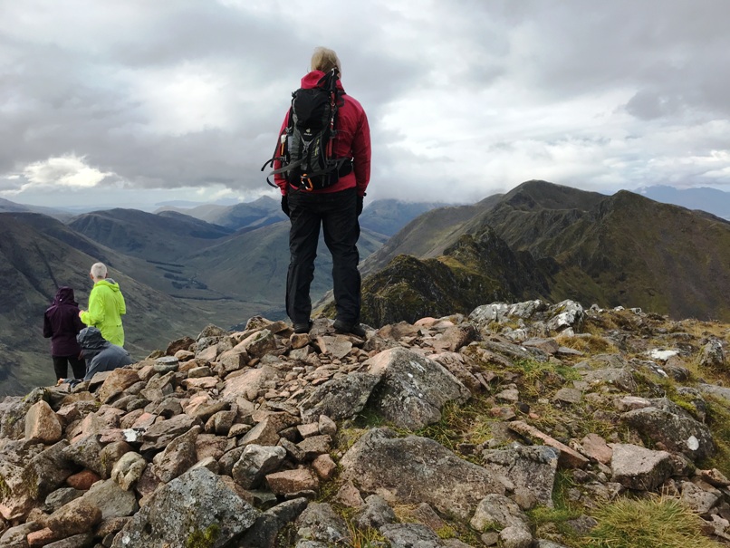

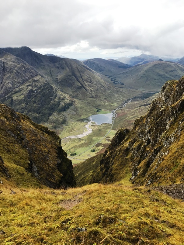

Friday 20th to Sunday 22nd September — Fisherfield expedition
Friday
With high pressure, warm winds and the unequivocal “no rain” statement in the MWIS forecast for consecutive days, we knew we were into something good. Andrew, Angela, Jane and Trl left Fort William at 0915, the car loaded with four heavy rucksacks. First stop was Beauly for coffee and for some cake. The next stop was the start of the expedition, four kilometres along the A832 from the Corrieshalloch Gorge.
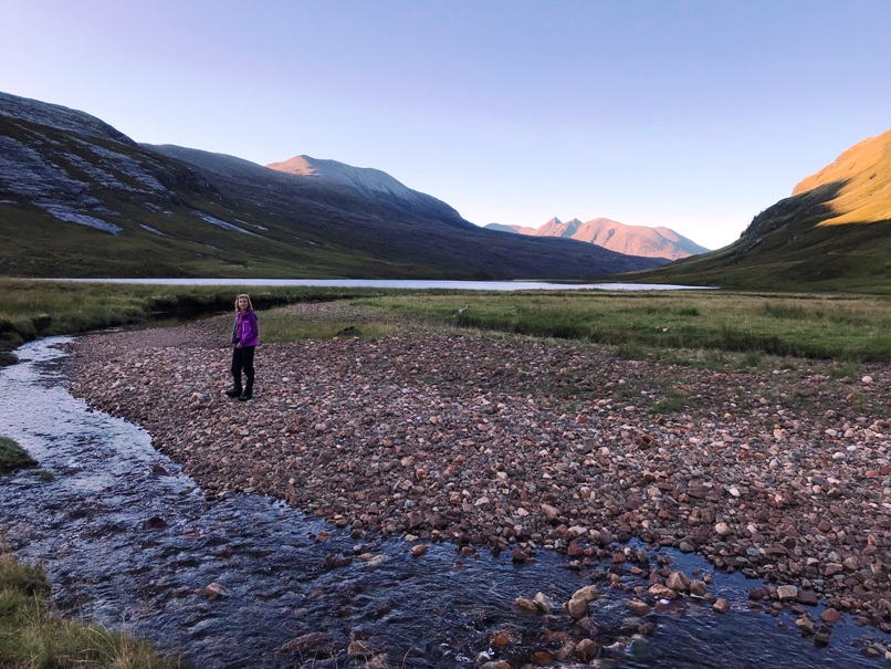
The four of us set off SW at about 1230, in gloriously sunny but breezy weather, on the track to Loch a’ Bhraoin which follows the shore and onwards to the cottage. Thereafter the going was rather harder on a narrow path, which disappeared into bog at times. Eventually, we passed by a ruin at the watershed, soon after which the path curved NW and descended about 80m to a fine campsite near the ruin of Ruighabhraghad.
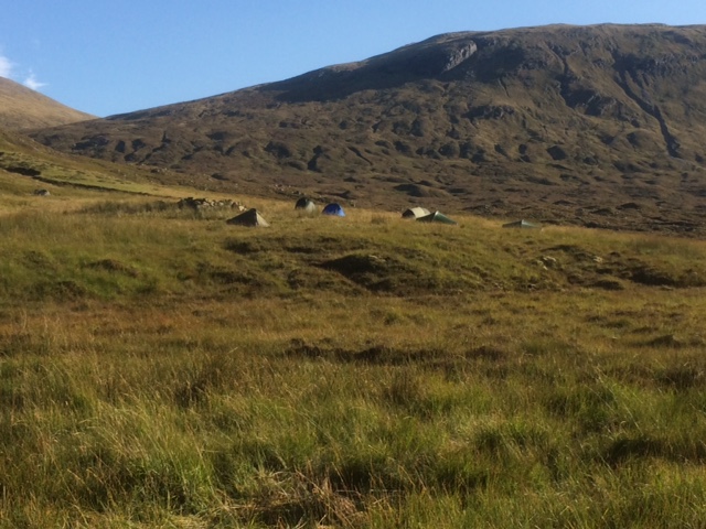
This was an impressive location, below the brooding cliffs of Creag Ruigh a’ Bhraghad, with a grand view of An Teallach, framed by the rocky sides of this deep glen and Loch an Nid in the foreground. The tents were soon up and the stoves alight for a brew. The Allt Cul Doireachan feeding into the loch was an ample water supply but the tributary descending from the cliffs above was completely dry. About an hour or so later Wesley and Alan arrived and pitched. Soon after, we were cooking our evening meals. Chris arrived at dusk and settled in quickly with some willing helpers. A lull in the SE breeze encouraged the midges to take off and attack, and it was dark by 2000, so we all turned in for the night.
The breeze eventually picked up again. Around midnight the half-moon rose over Creag Rainich, banishing its black shadow and illuminating our tented village. It woke me, as if a light had come on in the tent – a good reason for a nature call and to admire the starry sky, the Milky Way a distinct sparkling band linking the two sides of the glen.
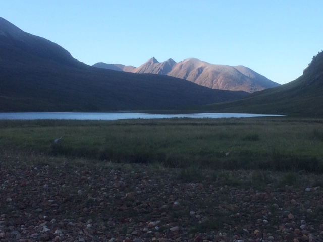
Saturday
We had agreed to set off at 0800, whatever we were doing. Some smart phone alarms went off at 0600 and soon most folk were up to start their morning routines in the dawn twilight. I found the dehydrated expedition breakfast tasty but filling, especially after the similarly prepared dinner the previous evening. Everyone set off on time.
Angela, Andrew and Jane planned to do Sgurr Dubh (Munro Top), and the two Munros, Mullach Coire Mhich Fearchair, and Beinn Tarsuinn. Alan, Chris and Trl were intent on doing as many Munros as possible, could not see the point of doing a mere Top, and headed directly for Mullach Coire Mhich Fearchair at a swift pace. They went on to do Beinn Tarsuinn, A’ Mhaighdean and Ruadh Stac Mor, descending into Gleann na Muice, crossing the river at about 200m alt, climbing 450m to the boulder-strewn col at Am Briseadh, then descending SW over more boulders and boiler-plate slabs to Loch an Nid and the campsite. Wesley pursued his own agenda and headed for Mullach Coire Mhich Fearchair at a more reasonable pace.
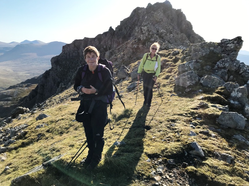
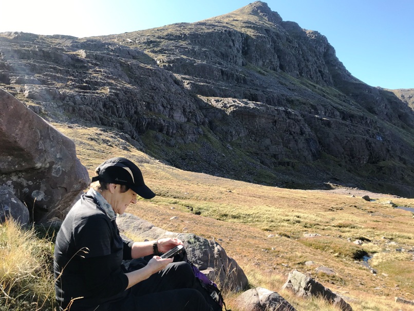
Angela, Andrew and Jane set off in the same direction as the others but once above the slabs in the upper part of Coire Gorm we turned S and contoured towards a pronounced weakness in the seemingly impenetrable cliffs along the N flank of Sgurr Dubh at about 620m alt. We scrambled up easily and headed W up a broad grassy slope that soon narrowed to a ridge reminiscent of the Aonach Eagach, but loose with rotten rock. It was not made any easier by the rising wind, which was quite fierce now we had gained altitude. My hat blew off and landed on a ledge some distance below, rescued after a dodgy scramble down and back up. The sun was burning in a cloudless sky so I would have suffered without it. The ridge terminated abruptly in a large overhang, which was avoided on the left by descending a crumbling gully to reach the col.
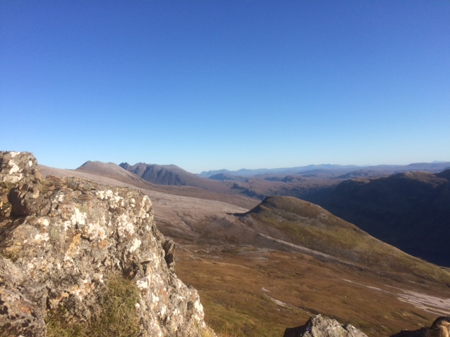
The ascent of Mullach Coire Mhich Fearchair was straightforward, the views magnificent and the twists and turns of the high ridges between deep corries were fascinating. Heading for Beinn Tarsuinn, we avoided Meall Garbh by a narrow path traversing the steep corrie headwall of its NW aspect. The views from Beinn Tarsuinn were stunning. We could even see the Outer Hebrides. The views from A’ Mhaighdean, 4km NW as the eagle flies, would have been exceptional but we had already decided to save that for a separate expedition from Poolewe.
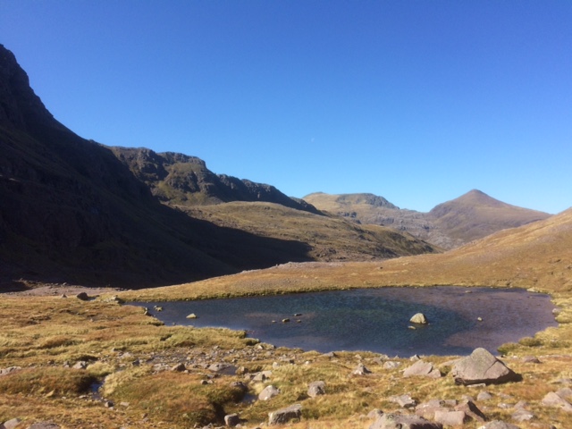
Returning to the col, we descended further, into a delightful corrie with a lochan, not specifically named on the maps but probably known as Coire Odhar. We rested here a while, then set off NE on a rising traverse up the very steep W aspect of Mullach Coire Mhich Fearchair. This turned out to be less difficult than expected and we soon arrived at the aptly named Cab Coire nan Clach. The place is strewn with boulders, glistening white in the sunshine, and stretching all the way up to the summit of Sgurr Ban to the N. Heading down E, we rejoined our outward track at the slabs and reached camp at 1700. We soon brewed mugs of tea, followed by the evening meals. Alan, Chris and Trl arrived at dusk after a splendid but taxing 12-hour day.






Sunday
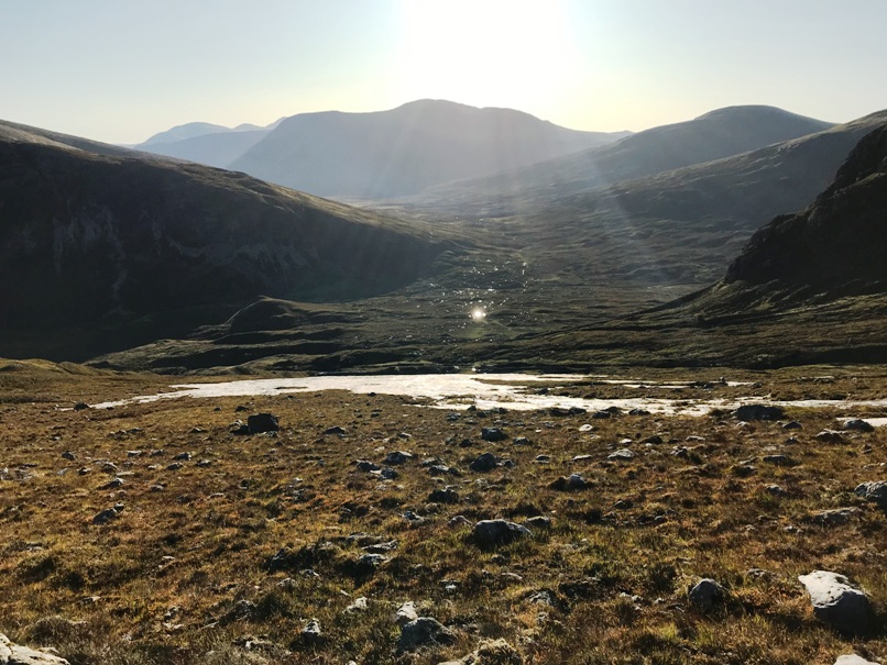
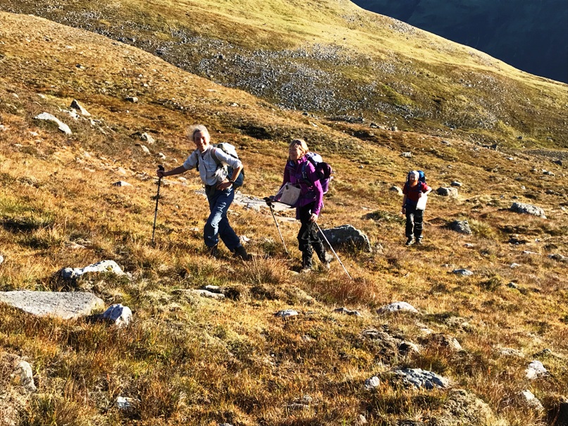
Sunday dawned dry but not quite a cloudless sky. My barometer had dropped from 1015 to 1008 overnight and the wind was stronger. We had agreed to set off at 0800 again, so some had been up since 0600. Alan, Andrew, Angela and Jane intended to do Sgurr Ban and Beinn a’ Chlaidheimh. So did Trl but she was ready at 0738, and unable to suppress her enthusiasm, set off alone. Chris made a feeble attempt to walk with us but was soon doing her own thing and was lost to sight among the boulder fields and acres of slabs. WW set off in a different direction because he had already done Sgurr Ban the previous day.
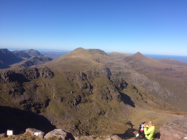
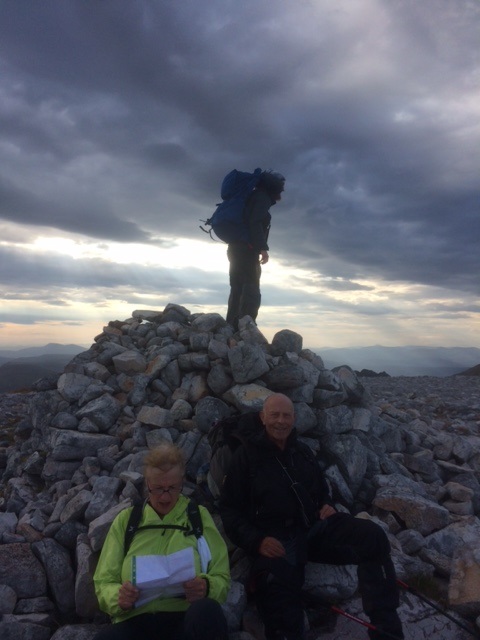
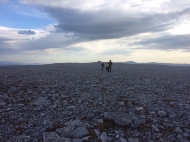
Once above the slabs, we veered NW across the lip of Coire nan Clach and climbed the vast boulder field on the E aspect of Sgurr Ban. On the summit plateau, a large cairn afforded shelter from the rising wind. However, the summit was at the far end, marked by a much smaller cairn. This was a superb viewpoint from which to pick out the highlights of the previous days’ exploits. Descending NE over yet more boulders, we arrived at the col of Am Briseadh to begin the last ascent of the expedition. We were now exposed to the full force of the SE wind, which alternatively assisted then impeded our progress up a stony zigzag path. Some shelter was possible near the summit of Beinn a’ Chlaidheimh, a welcome respite before facing the wind to return to the campsite. We took a direct line, which returned to the col, then across onerous boulder fields to reach a huge area of smooth slabs. This was a pleasant contrast and quite safe and easy walking provided one avoided mossy or wet areas.
Back at base by 1500, we struck camp and headed out on the long loaded trek back to the cars, arriving before 1900. Trl was there already, Chris and Wesley soon after. All persons accounted for, we made for the Aultguish Inn, unwashed and unshaven, for a fantastic undehydrated dinner before the long drive home.
Andrew

Saturday 21st September — Druim Fiaclach (and others) by public transport
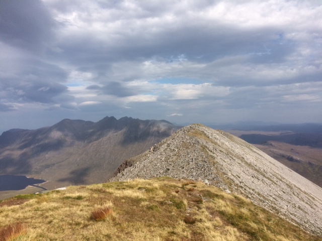
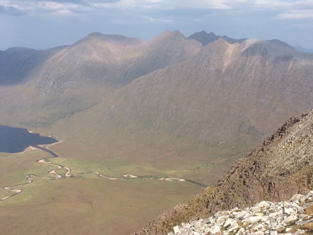
This walk was cancelled due to lack of interest from anyone except mystelf, but, as the weather forecast was really good, I decided to do it anyway. So I got the morning train to Glenfinnan, arriving at about 9am. I had to walk along the road for over 5km before leaving it and crossing under the railway line at about 10am. From there I headed directly up the 323m summit of Sgurr na Paite. It was a good viewpoint along Loch Eilt directly below. Until now it had been windless, but now the wind started up rather strongly, as forecast.
I headed down and up the ridge to Beinn Mhic Cedidh (a 783m Corbett) where I met a lone walker who had camped out on the hills. We raved about the fabulous weather and the magnificent views. Now I had to lose a lot of height as I descended down to about 355m before ascending Druim Fiaclach. The ESE ridge was very enjoyable with some easy scrambling. I watched an eagle being mobbed by ravens. At the first summit was the strongest winds I encountered all day: I had to be careful not to be blown off my feet on the narrowest section of ridge of the day. But although windy, it was very warm, even on the summits.
This summit was my penultimate Simm (a hill over 600m with 30m drop). There are 2189 of them so this is quite an acheivement that has taken about 10 years. Unfortunately, my last Simm is on Arran and I've failed to get up it on both attempts. My only hope is for help from someone with a rope.
From here I went on to the summit of Druim Fiaclach, an 869m hill that used to be a Corbett, but still well worth doing. After here the winds were very strong, very gusty and from all directions.. At one point there was a small lochan with large waves blowing along it. 30 seconds later it still had big waves, but now they were running in the opposite direction!
The next top was the Corbett of Sgurr na Ba Glaise, where I met a second walker. Then there was an easy descent and reascent to another Corbett: Rois-bheinn. The views of the islands right out to the outer hebrides were very clear. To avoid the wind I headed directly down from the summit. This was very steep and not recommended, but gave a welcome respite from the wind. Now there was the final ascent of my last Corbett of the day: An Stac.
Now all I had to do was a long descent down to the road. I headed NW to do one final minor top of Alisary Hill (312m). On the 1:50000 map this has been incorrectly named Bealach Breac. I then descended to the road via an old but very boggy track. I soon arrived at the station at 5:30pm, but was going to have to wait for an hour and a quarter for the next train so I tried hitching. After less than 10 minutes I got a lift all the way back to Fort William.
A great day over lovely hills that made up for missing the Fisherfield trip. (Distance: 27km, ascent: 2150m)
Gavin
Sunday 15th September — Ben More and Stob Binnein, Crianlarich
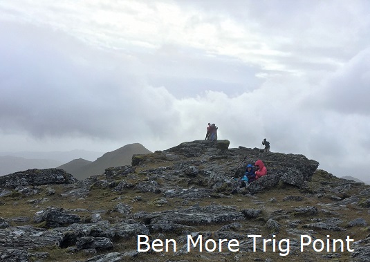
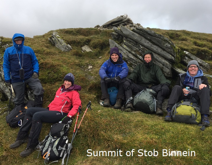
After the storms of Saturday, Sunday dawned somewhat drier, brighter and less windy. Seven of us out on the walk – Ken, Jane, Craig, Kate, Rick, Andrew and Tom, a guest from Crianlarich. We followed the through route given in the programme, with cars at either end. There had been some new hydro development in Benmore forest, which made us slightly uncertain of the route. However, the programme route was followed except for using the new hydro tracks to exit the woods at the south end. (Andrew will update the route description.) The NE ridge of Ben More was steep and rocky in places but no real problems and we soon reached the summit. Our route had been quiet so far but it was busy at the summit and on to Stob Binnein. It was also much more windy on the tops than we had expected and it was a struggle to walk on some sections. However, the route to Stob Binnein is straight forward with a good path. We returned to the col and made our way west down to Benmore Burn. Unfortunately, on the slippy wet descent Ken had a fall and managed to dislocate his thumb. The team quickly rallied round and strapped this up so we could get off the hill. It meant a quick return to Fort William where Ken was dropped of at the Belford A&E to get sorted out. Apart from the “thumb” incident it was a good day and we had lovely late afternoon sunshine to complete the walk and the drive home.
Ken

Saturday 7th September — Ben Dorain and Beinn an Dothaidh
Saturday was a beautiful day – all the more so because of the wet week leading up to it. I have to admit that the hills of Ben Dorain and Beinn an Dothaidh were not very high on my list of hills I wanted to do as although Ben Dorain is the striking mountain shaped mountain as you climb up out of Tyndrum from Bridge of Orchy they do not look very interesting. I was wrong.
The original plan had been to use two cars and do the traverse of the two Munros, however there were only four of us out Kate, Jane, Ken and Chris. So after some debate we decided to just take one car, park at Achallader to the north and still try for the traverse. A few hundred yards into the walk the wet moorland reminded us that despite today’s weather the week had been very wet. Once over the railway we headed across to the northern spur of Beinn an Dothaidh following a light quad track. Our ascent was steep onto the ridge but it might have been better to go from the nose of the spur rather than up its flank! Reaching the ridge the view of the crags and sweep of the route in front was quite different to what I had been expecting. At the top Kate decided she would go off to Beinn Achaladair instead of Ben Dorain as she had been up a month earlier. Mobile phone reception checked, car keys swapped as a backup in case we decided that coming back over Beinn an Dothaidh was too much and we’d go back to plan A and Kate would bring the car round to Bridge of Orchy to collect us. In the end we walked back to the car.
The path on the deep descent down to the bealach and then all the way back up to Ben Dorain was full of sparkling mica grains and rocks shining like a hoard of silver coins. The view from the top of Beinn Dorain was stunning. The air, washed from the rain of the previous week, was clear and it felt as if we were seeing the mountains of Scotland laid at our feet; from the Merrick in the south to Ben Nevis and the Grey Corries, from Ben More on Mull in the west to the Cairngorm plateau. Helped by Jane’s app we were able to pick out Ben Lomond and Ben Lawers, Ben Alder and the Easains, Ben Lui and Ben Cruachan, Ben Starav and Bidean nam Bian and much in between.
Fortified by lunch and the exhilarating view we retraced out steps to the bealach and then climbed a short way up the path towards Beinn an Dothaidh before cutting up left to clear a line of crags before contouring round to re-join the faint path on the northern spur. The descent off the ridge seemed even steeper than the ascent, at least that is what my knees were telling me (see above about trying the nose of the ridge instead of the flank!)
We all met back up at the car at more or less the same time looking up just in time to see a white tailed eagle flying across the moorland.
Note: head towards the farm buildings and the main burn to find the railway bridge – the thing that looks like a bridge from higher up isn’t a bridge anymore.
The Glencoe ski centre provided an excellent venue for coffee at the end of a great day in the hills
Chris
Photos from Jane:
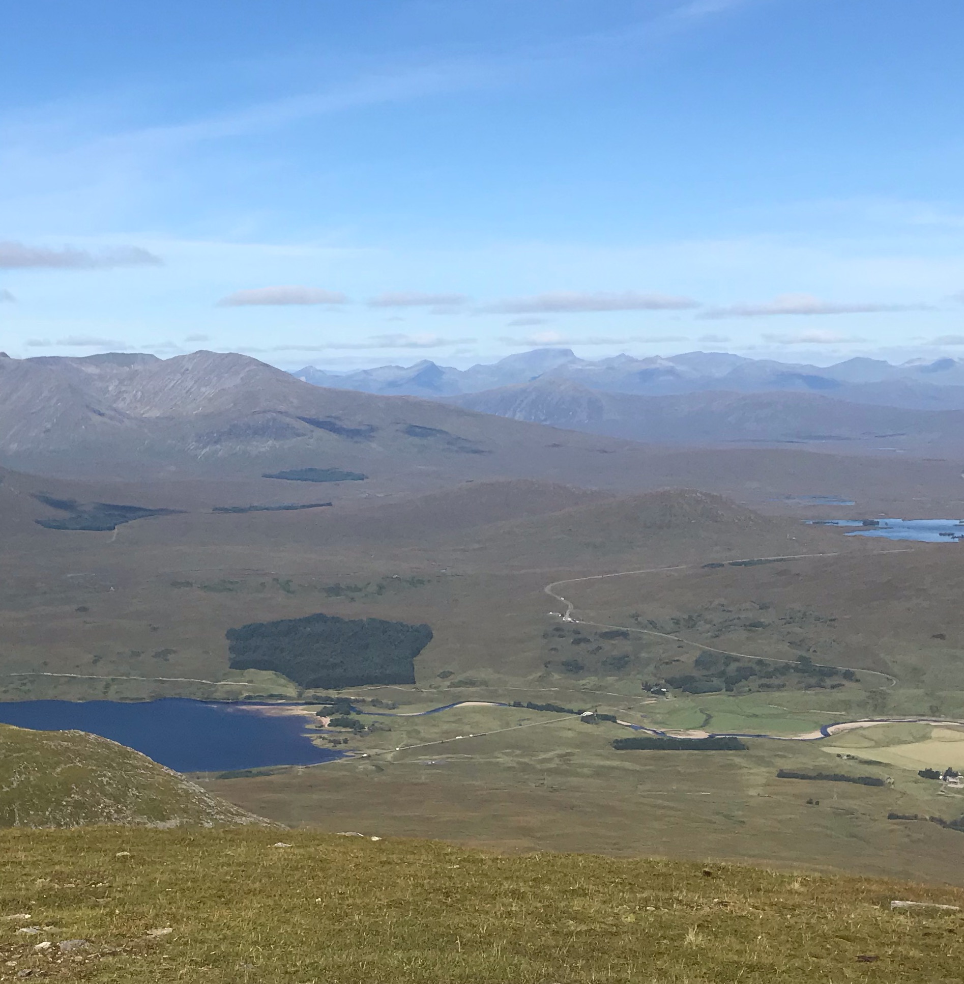

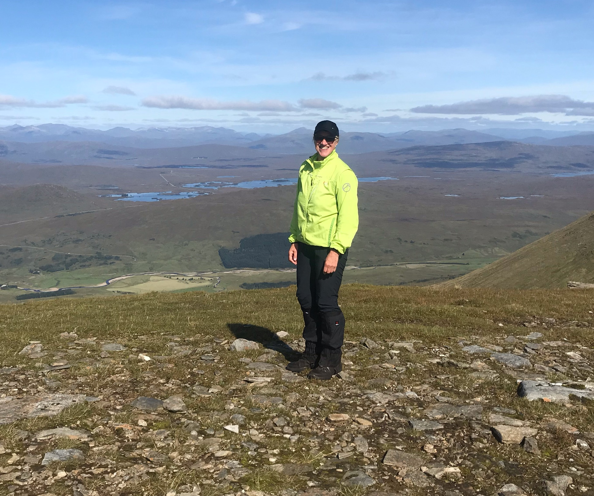
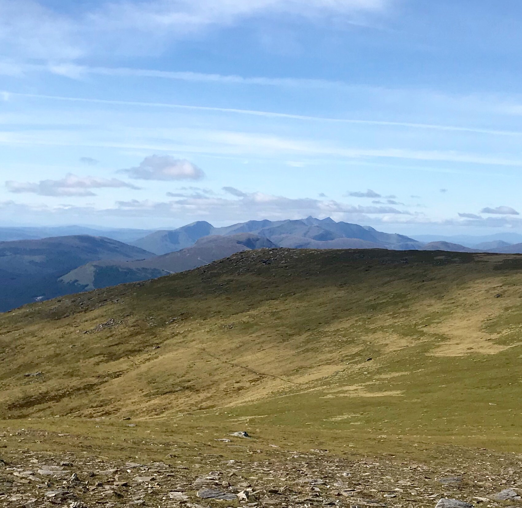
Sunday 1st September — Leana Mhor & Beinn Iaruinn (The Parallel Roads of Glen Roy)
Alan, Andrew, Angela and Trl chose this walk as an alternative to Kintails’ Beinn Fhada. The reasons were that we thought the weather would be worse as it was very wet on Saturday and we weren’t sure if others were interested to go to Kintail. Glen Roy was closer to home. The 1st of September and it felt like it too. With a crisp NW breeze, we set off on our journey starting up the N to NE ridge of Leana Mhor. We had excellent views of Glen Roy’s Parallel Roads, and hills all round. Included in our view was some of Glen Gloy and Leitir Fhionnlaigh. The last hill of the Midsummers walk. Also, we could see Meall Teanga and Ben Tee. We think we identified the window on Creag Meagaidh. And we could see right the way down Loch Linnhe to the Corran Narrows. And the hills on Ardgour. Also, the Mamores and Grey Corries were shrouded in cloud. Once we had summitted both Leana Mhor and Beinn Iaruinn we chose to walk to an unnamed point NE at 773m. Trl chose an interesting route down going down Coire nan Eun then heading SW of the river traversing Beinn Iaruinn’s Parallel Roads. Then dropped down to the road. Angela and Trl took an opportunity to put their feet in the Allt a’ Bhreac Achaidh. The Darwin’s rest was closed at 15:00 on Sunday so we just missed it. Instead we went to the Stronlossit Inn for some refreshments and a social.
Alan

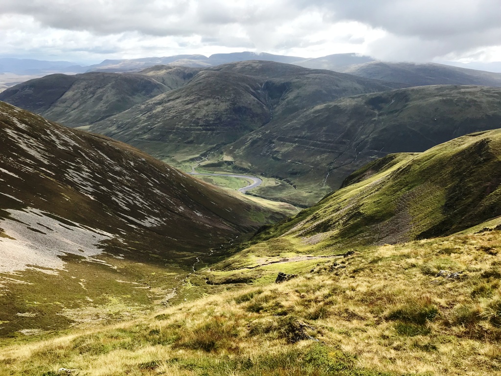

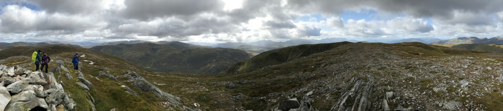
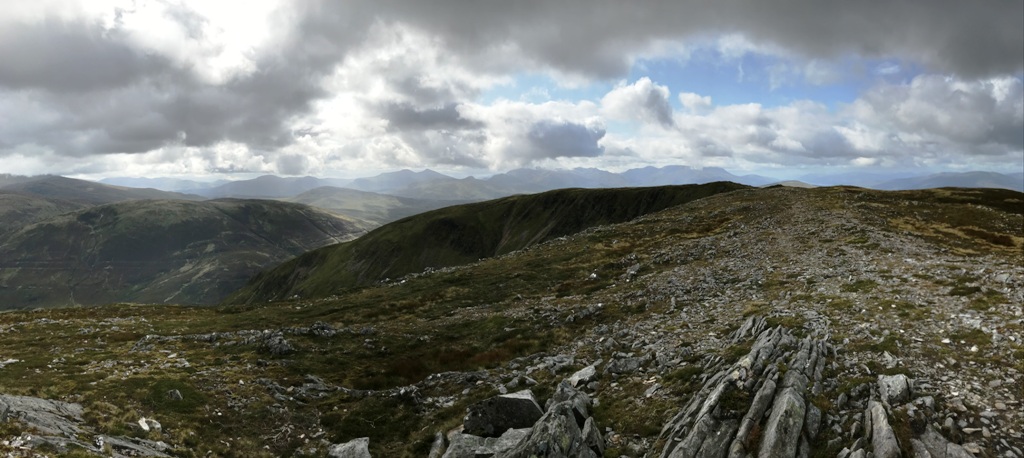

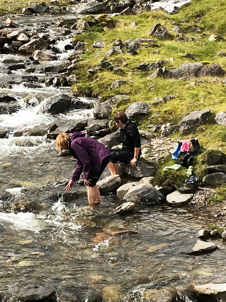
Photos from Angela:


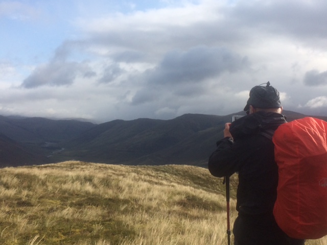


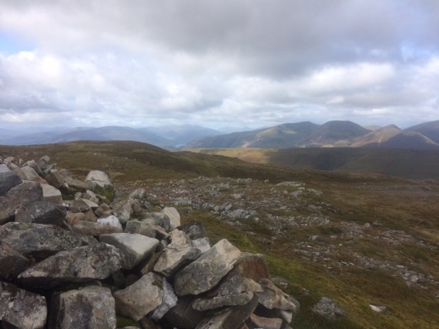
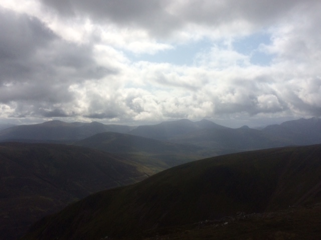

Saturday 24th August — Beinn Fhada & Ben More, Isle of Mull
After some complicated logistics — five members travelling from Fort William to the Corran ferry, ferry Ardgour, drive to Lochaline, ferry to Fishnish, drive to Salen; two members travelling to the Oban ferry terminal, one cycling, the other walking, ferry to Craignure, service bus to Salen, we all met up in Salen. After coffee at the local Spar shop, we had the drive down the B8035 to the start point at the Scarisdale River. The weather was fine with some cloud on the higher hills, including Ben More, but it was windy. Alan had decided to include the traverse of Beinn a'Ghraig and Beinn nan Gabhar, so left us the go up the north side of the river. Jane, Andrew, Gerry, Jan, Robert and John headed up the south side where it was very wet underfoot. However, we soon gained the impressive ridge and after a while the top came into view and it was again impressive, as were the hills all around. On reaching the summit, we were joined by Alan, and then we did what I'm sure most hill-goers do, try to identify the hills around, but with this hill, also the islands. Here, I decided not to climb Ben More (which I have already done), as I was concerned that the wind might be too strong for me, but to join Gerry and climb the two hills that Alan had just done, but I had not.
So we left the others and descended the broad ridge to the col below Beinn Gabhar. This hill was straightforward, but the rock was very febrile, which meant avoiding a lot of scree on the way down. It is an impressive hill, but Beinn a'Ghraig is more so, although both are comparatively low. Beinn a'Ghraig has a craggy ridge and we were getting blown about by the very strong wind. Alan had warned us that we may find the descent a bit tricky because of steep crags. With the strong wind, steep crags and now it was raining, I was not relishing the descent. But with the GPS and doing some zig-zagging, we successfully made our way down, and the weather improved — it stopped raining and the wind dropped. Towards the river, we came across a strange geological feature — an apparent gorge nearly parallel to the river, but with no water in it. The main gorge which we did not see on the way up, was impressive with its waterfalls. After reaching the cars, we drove the short distance to the parking below Dhiseig to await the others. They duly arrived after successfully completing their climb.
Coffee was taken at the Salen Hotel before we separated and made our respective ways home.
(By the way, the sheep on these hills are the whitest, cleanest-looking sheep I have ever seen).
John

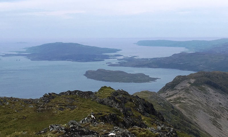
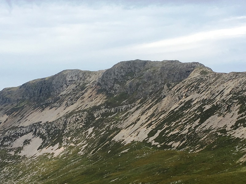
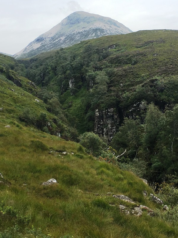
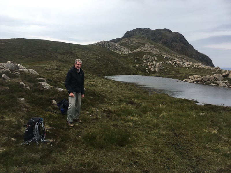
Photos from Andrew:


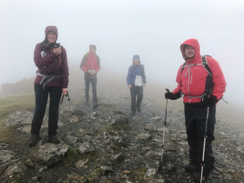
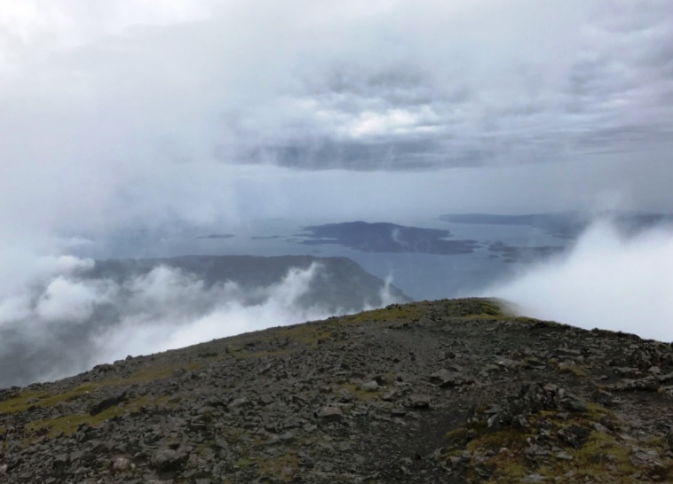
Sunday 18th August — NOT Sgurr a’ Mhaim
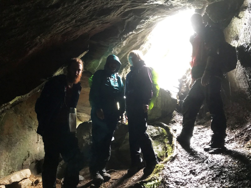
Fiona was no longer able to coordinate this event, so Andrew took her place. 5 stalwarts turned up at the Woollen Mill, Alan, Andrew, Jan, Jane, and Trl. The weather forecast for Sunday was wet and windy and some sources mentioned thunder/lightning. We agreed to do the route in reverse, going first to Coire a’ Mhail, and confining our exploration to the corrie, keeping off exposed ridges, if the lightning risk was still present. Heavy rainfall during the weekend would make crossing the Allt Coire a’ Mhail below the Steall Falls difficult and the Water of Nevis could be out of its banks above the Wire Bridge. We therefore started the walk from Achriabhach car park, and made first for Uamh Shomhairle (Samuel’s Cave). However, well before we got there we had difficulty crossing some of the minor tributaries, which were pouring off the hill in spate. Pushing our way up through the long wet vegetation to reach the cave made us no wetter – the rain was heavy and incessant anyway. We took a break from the elements in the cave and had 11’s. Alan and Jan disappeared into the darkness to explore further into the cave for a few minutes. On emerging, we climbed higher on steep, rough ground and soon reached the small summit of Creag nan Eun, 483m. It would have been possible to achieve our modest aims and reach the floor of Coire a’ Mhail. However the persistent rain showed no sign of easing and we decided to head down to the Wire Bridge and visit the foot of the Steall Falls. Very impressive at any time, but awesome in spate. Headed off to an early finish at the Glen Nevis Restaurant for coffee and cake.
Andrew
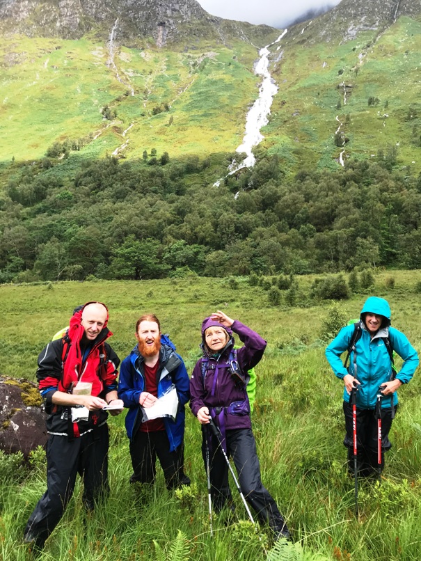
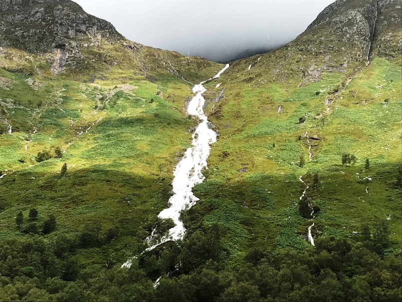

Saturday 10th August — Braigh nan Uamhachan and Gulvain
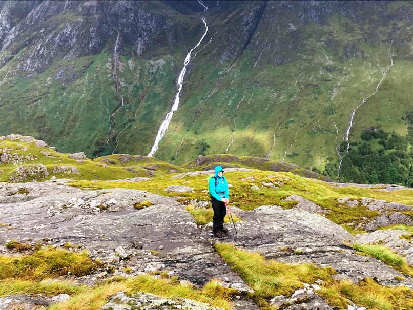
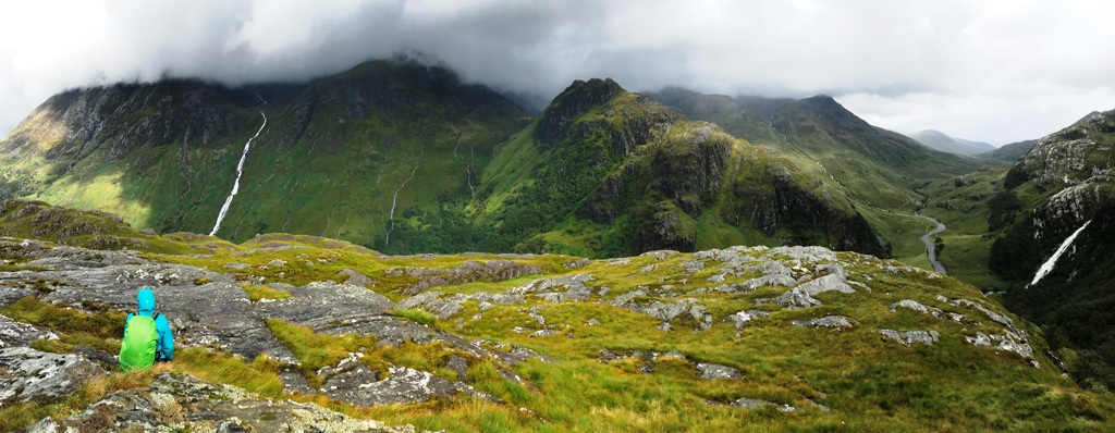
In the lead up to the weekend the MWIS forecast didn’t look too promising for our anticipated walk into Gleann Dubh Lighe. Despite the lure of Gulvain the highest of the peaks between Loch Arkaig and Loch Eil this poor forecast might have contributed to the small turnout of just three members.
However, by the morning the forecast looked a lot more favourable with the promise of a rain free day. Only having the one car would give us the dilemma of missing out the Munro and Munro Top or the prospect of a walk back to the car along the A830 at the end of the day. We decided to make our decision when we were at the summit of the Corbett, Braigh nan Uamhachan.
Andrew, Craig and Jane headed off at a brisk pace, keen to make headway and walk out of the hoards of midges. Having left the trees behind we were soon faced with a not very pleasant clamber up a steep slope covered in bracken and quite boggy in places to reach the ridge heading over Na h-Uamhachan . A real challenge in the heat, we were so grateful for the breeze that made the walk along the ridge a real pleasure.
Having reached the Corbett for lunch at around 12.30, looking across to Gulvain, cloud free and bathed in sunshine and already being at a decent height we decided to go for the Munro Top and the Munro. Fantastic views in all directions, it was turning into a cracking day.
Heading across the undulating and bumpy rock of Gualann nan Osna at the head Coire Reidh we were on the look out for water after the earlier thirsty climb. Making a slight diversion across to a really inviting stream to replenish water bottles we then headed up the steep west slope to the trig point at 961m.
Spending a few minutes watching the large number of deer moving from Coire Reidh towards Gleann Camgharaidh gave a great excuse to catch a sneaky rest as Craig showed us a clean pair of heels and fairly shot up the slope.
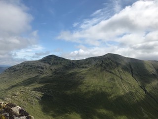
Walking along the ridge, the summit of Gulvain was easily gained and despite a few wispy clouds there were great views in all directions particularly Ben Nevis and Loch Shiel.
Retracing our steps back to the Munro Top we descended the usual baggers route down into Gleann Fionn Lighe and the long, seemingly never-ending walk out to the main Mallaig road for about 7.15pm. Thankfully on a Saturday evening the traffic along the road was fairly light and we were back at the car for just after 8pm.
A really great day and an inspiring route, far preferable to the usual baggers route as evidenced by the long knee jarring walk down from the Munro Top.
A 12 hour day with just over 31km and 1885m of ascent we were mindful that it won’t be long before these long walking days will not be possible with the shortening daylight hours.
Jane
Photos from Andrew:

Sunday 4th August — Ben Starav
Event cancelled due to thunderous forecast.
Andrew
Sunday 28th July — Not Beinn Bhan and Sgurr a’ Chaorachain and Not Saturday
The forecast was not good enough for Saturday to make it worth the long journey to Kishorn so the walk was postponed until the following day. In the event it was not very much better for Sunday either, and only Trl, Alan, Gerry and Andrew wanted do something, but not sitting in a car for 5 hours. After some phone calls we settled on Ben Tee, still a Corbett, new to some of us, but a lot closer. We elected to go up from Laggan Locks to reduce the driving even further. This turned out to be a trudge mainly, a path to start with, soon lost in deep heather and moorland tussocks interspersed with bog on the more level sections. Into cloud on the upper part and summit, but feeling the heat and passing brightness of the sunshine tantalising close above us. We did better following a narrow path going down by a slightly different route, heading nearer to the gorge of the Kilfinnan Burn. I think the approach from White Bridge car park in Glen Garry is better (or was the last time I did it), but is a longer day and another 10 miles of driving. We had coffee in the floating cafe above the locks. Open until late, at least in high summer.
Andrew

Sunday 21st July — Meall Chuaich, Dalwhinnie
The forecast was for heavy rain to move in from the west, so we were hoping that by going east, we would be OK. We did leave the rain behind and got to the start point in dry and overcast conditions. At the start of the track, there is a board giving info on the flora and fauna that you may encounter on the moor. And we did see one of them almost straight away-several lapwings. There was more to come.
The approach to the hill is fairly long (about 4 km) but easy, being on a good hydro road along an aqueduct, then track. The area is part of a complex hydro scheme with the aqueduct, leading into Loch Ericht, a pipeline, turbine buildings and tracks leading up into the hills around.
Leaving a private bothy, the five of us, Craig, Gerry, Margaret, Angela and I headed up a clear and fairly steep path. On reaching the summit, the wind was cool and strong, so we were glad of the shelter afforded by the large cairn. After a lunch break, we noticed rain heading our way and decided to just return by the same route. However, it was just a shower and we did in fact beat the rain. The wildlife included some hares seen by Angela and Craig, a family of grouse (Mum, Dad and youngsters), and I was lucky enough to see a young adder.
Coffee and cake was enjoyed in Laggan and the rain did not arrive until we were nearly home.
John
Five members (Angela, Craig, Gerry, John and Margaret) out for the straightforward munro Meall Chuaich at Dalwhinnie. A cloudy day but happily down before the rain arrived and in good time for coffee and cake at Laggan.
Gerry
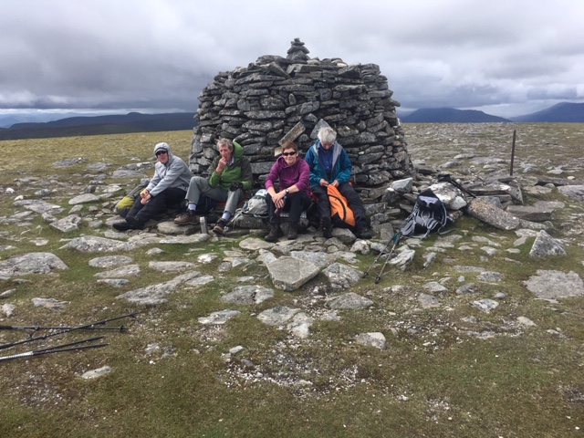
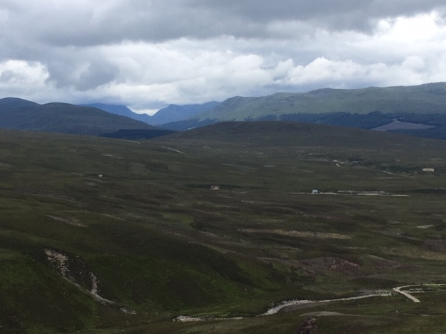
Saturday 20th to Sunday 21st July — Glen Feshie
An early start from Fort William and hopeful of improving weather 8 club members, Alan, Andrew, Chris, Gavin, Jane, Ken, Robert and Trl set off for a weekend in the Cairngorms. The attraction of using as a base a campsite around 900m within easy reach of a number of impressive Munros seemed a good prospect for the weekend.
Happy to head off from the midge infested Auchlean carpark 3 group members, Alan, Chris and Gavin ambitious for big Munro haul set off at speed to climb Sgor Gaoith before heading for the anticipated camping site.
Other group members were content to make steady progress along the unrelenting upward path skirting the summit of Càrn Bàn Mòr, with Trl taking in the summit itself. Heading across open ground it wasn’t long before they reached a very well made track which stopped abruptly at the Allt Sgairnich. From then on it was a mixture of small peat hags, bog, boulders and the occasional stretch of easier terrain.
3 of the remaining group of 5 Andrew, Jane and Trl headed for the small summit of Tom Dubh for a short refreshment break which gave a decent view of the anticipated camp site. Ken and Robert pushed on and were soon joined by Alan, Chris and Gavin. It soon became obvious that due to the boggy nature of the ground a move slightly NE of the anticipated camp site was necessary. A low cloud base and heavy showers did not provide the kindest of weather for the pitching of tents but it wasn’t long before there was some respite from the weather.
Following a decent break for lunch the group headed off for the first of the two afternoon Munros, Monadh Mòr and then on to Beinn Bhrotain. Unfortunately not the best visibility despite the weather improving significantly but the hills were achieved relatively easily before a return to camp for the evening.
A dry night, which was a relief and the prospect of a dry day ahead, albeit low cloud with limited clear summits. Again the group split, with Alan, Chris, Gavin and Trl heading off towards Devils Point and then on to Cairn Toul and Angel’s Peak with addition of Braeriach. The remainder of group set out for Angel’s Peak and then Carn Toul and finally Devil’s Point.
The low cloud on Angel’s Peak and Cairn Toul restricted any view to just fleeting glimpses of impressive cliff faces, however upon reaching Devil’s Point there was good visibility and some fantastic views of the Lairig Ghru.
Both groups returned to the camp site pretty much simultaneously and started to pack up the tents.
Again Alan, Chris and Gavin elected to go for an 8th Munro heading off towards Mullach Clach a’ Bhlàir whilst the rest of the group retraced steps back to the car park at Auchlean, hoping to beat the forecasted heavy rain that was heading in from the west.
Arriving back at the car park at 5pm, just ahead of the rain Andrew, Jane, Ken, Robert and Trl then made for Joe’s Chip Shop in Kingussie for a well earned rest and fish supper – awaiting the arrival of Alan, Chris and Gavin.
Fish and chips were delicious and I’m sure Joe’s Chip Shop will be seeing us again following any future trip to the Cairngorms.
Jane

We met the full group for the expedition at Spean Bridge. We managed to fit into two cars. Chris, Gav, Ken and Alan arrived at the car park in Glen Feshie. There were some midgies. Two Midgie nets were dorned and I think somebody had some Smidge. The walk up the path for Carn Ban Mor was quite steep in parts and the day at this stage was hot. Chris, Gav and Alan went ahead so as to climb Sgor Gaoith. We left our packs near to a ruin which was more dilapidated than thought. As the mist came down we also used the GPS as a reference. The summit of Sgor Gaoith had no cairn. On the way back we found our bags by which point it was lashing it down. Gav went ahead to get to the others at the meeting point at the edge of the 4 wheeled drive track, as they may have waited for us for a while. I was surprised to see a couple of mountain bikers and a car at this point but the four wheeled drive track does stretch all the way to Glen Feshie. After marauding for a decent camping spot, we settled at a spot further up The Allt Luineag and set up the tents in the lashing rain. After this it stopped raining, we went up Monadh Mor and then Beinn Bhrotain. Andrew and Alan navigated through the clouds until meeting with the others on top of Beinn Bhrotain. The mist cleared as we reached the col between Monadh Mor on the way to the summit of Beinn Bhrotain. Which revealed some of, if I remember correctly, Cairn Toul, The Devils' Point and possibly Sgor an Lochain Uaine (The Angels' Peak). And a Rainbow (with another faint one making it a sort of double rainbow).
On the way back down Gavin said he saw a Big White Bird of Prey. And it wasn't any of us wanting our din dins.
Fortunately The Bird appeared again near campsite after dinner. We suspect primarily through Chris's knowledge of birds it was a Snowy White Owl.
Next day Trl, Chris, Gav and Alan traversed round to the col at the Devil's Point and walked to its summit. From there we had cracking views of Ben Macdui, the Lairig Ghru, Glen Dee and the North Face of Beinn Bhrotain.
On the way up Cairn Toul the visibility dropped in clouds. Chris and Gav took a more direct route whilst Trl and Alan took an eastern ridge. Trl, Gav, Chris and Alan met the others in the clouds of Cairn Toul, who were going from a different side. Cairn Touls' summit may be misleading in poor visibility. The summit juts out and navigating west it is important to avoid crags. Whilst heading off the summit of Cairn Toul we got a great view of Lochan Uaine. Then after the Angels' Peak there was a break again in the clouds to reveal some of the great corrie known as An Garbh Choir. Then we went back into the clouds as we reached the plateau to summit Braeriach. Then we headed back to the campsite to pack up. We got some good views down the corries when the clouds broke, and of the Coire Bhrochain nearer to the summit of Braeriach. Chris, Gavin and Alan decided to walk out and do Mullach Clach a Bhlair after packing up camp. We think we did a sub sim as well en route to it at 953m. This was right next to the 4 wheeled drive track we met again that stretches to Glen Feshie. Although mostly tracked to Mullach Clach a Bhlair it was harder than anticipated possibly due to the wind picking up which we were walking into. Leaving our packs to do Mullach Clach a Bhlair. On the way back to the packs we saw a three legged Giraffe (we're not sure). Our route choice back down was to go over the north west ridge Meal nan Sleac 800m. We also cut over the river Allt Garbhlach walking north west to reach the track back to the car park. This shortcut was steep and overgrown with heather. Back at the car park Ken wasn't there to join us in our car. Yet it was suggested to the others to go via text if they could, as it was estimated they'd be down before us. We then heard that folks had made it to a chippy in Kingussie.
Alan.
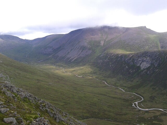
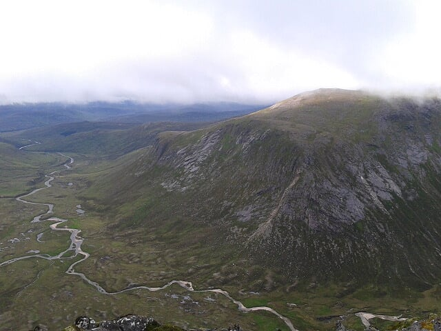
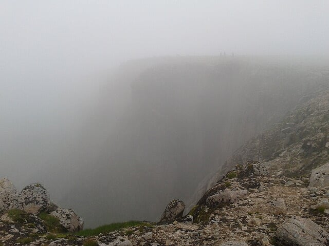
Photos from Andrew:

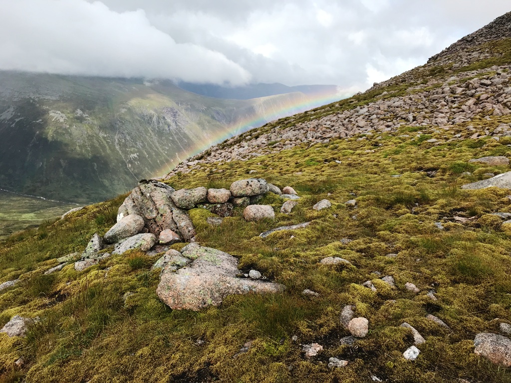
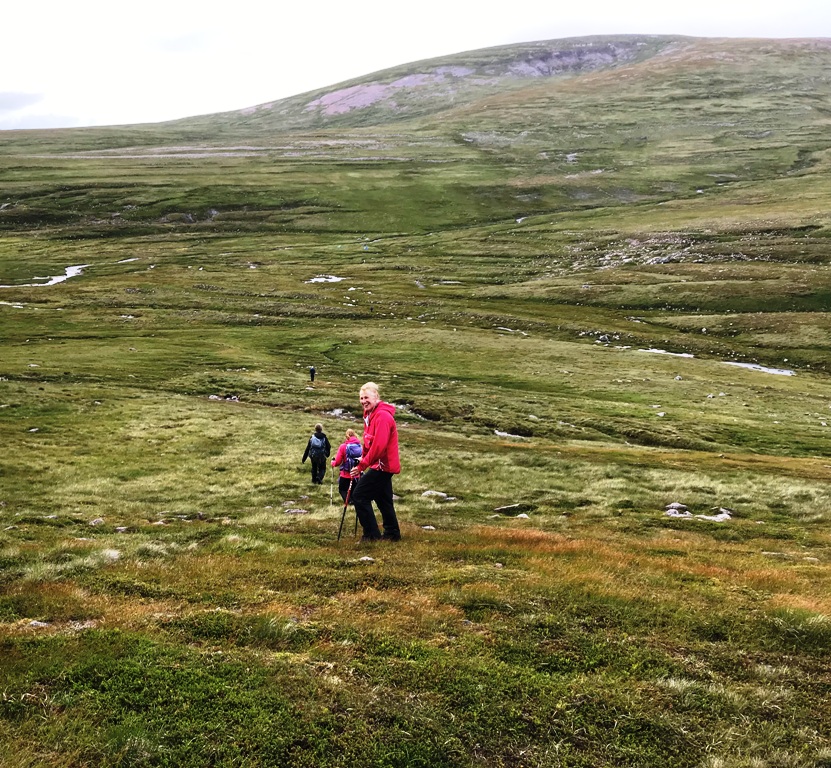
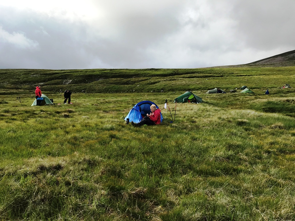

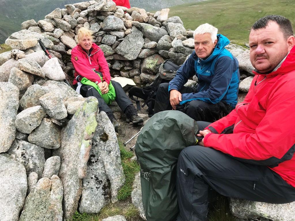
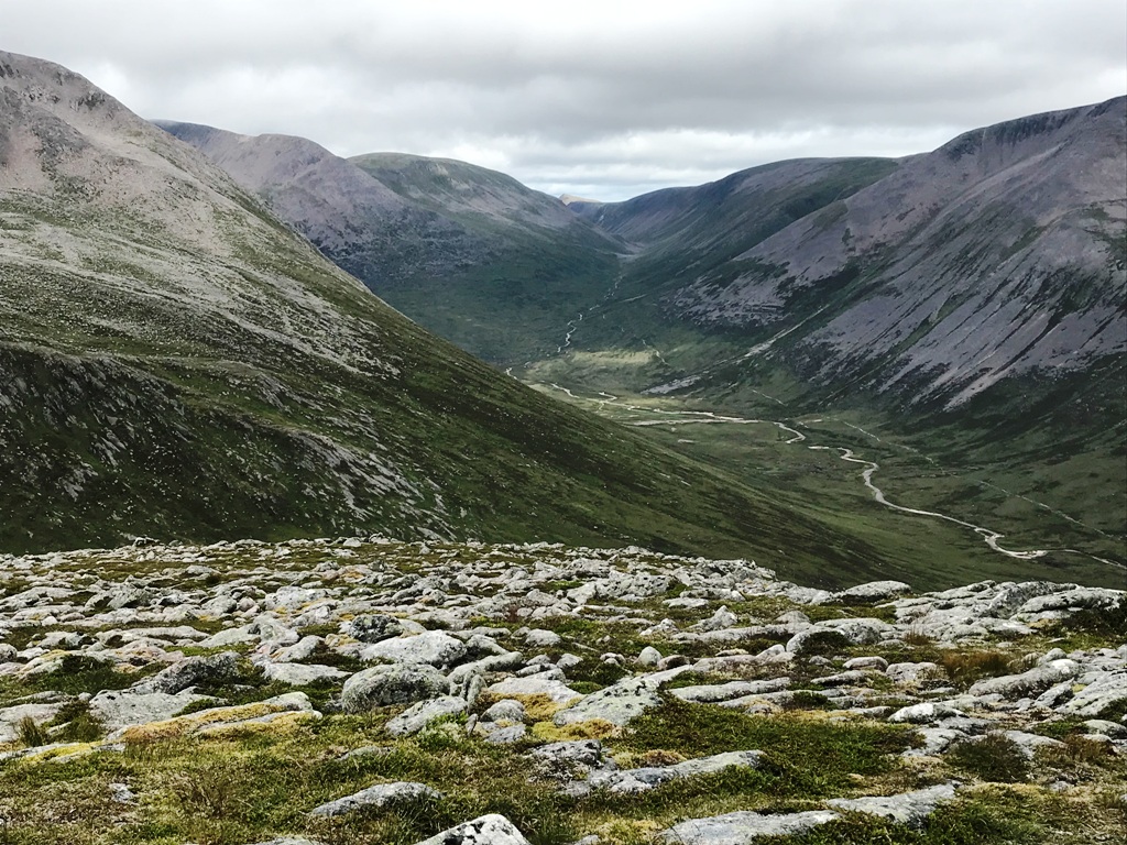
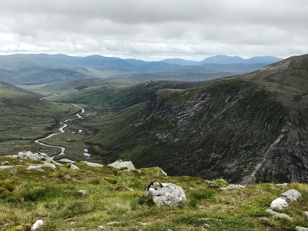
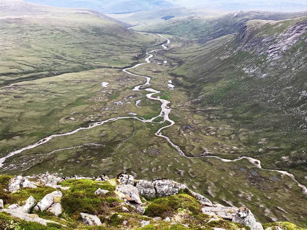
Tuesday 16th July — Ardsheal Hill
Gavin, Suzanne, Chris, Trl, Andrew, Gerry and Margaret set off from the Duror Village Hall in amazing summer sunshine for our evening jaunt up Ardsheal Hill. A lovely warm breeze blew the whole evening which was so appreciated for keeping any midges at bay. The path up was quite rough but very well defined and not at all boggy. We were met at the top by the most wonderful views from the Isle of Mull to the Great Glen. It was all so clear and the sea was quite calm. We then returned by the same route and went on to enjoy refreshments at the Holly Tree pub just along the road and were met by Jane. During the evening, some of the group members held a brief logistics meeting for their Cairngorm expedition coming up this weekend.
Suzanne
Photo from Andrew:
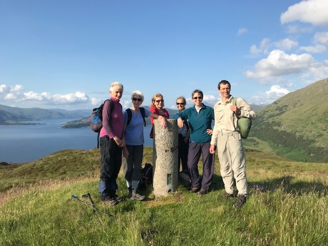
Saturday 13th July — Bidein a’ Chabair and Sgurr na h-Aide
Andrew and Craig did the ** route. The descent to the watershed at the head of Gleann an Lochain Eanaiche cannot be recommended. We were not able to find a path at the forest boundary and the going was very rough with deep and extensive bog in places. We eventually found the traces of the passage of an ATV which we followed to join the forest track on the S side of the River Dessarry. Emerging from the forest about 0.5km from the A’Chuil Bothy, we decided to cross the river on the bridge at NM943929. However, we would have done better to continue to Strathan past the Bothy and on through the forest. Gerry had done a low-level circuit in Glen Dessary and found this section made a quite pleasant walk. Gavin walked with Andrew and Craig to the summit of Sgurr na h-Aide, whence he descended S into Gleann an Lochain Eanaiche and climbed the Corbett Carn Mor. He descended E along the ridge between Glen Deasarry and Glen Pean, over Monadh Gorm and down to Strathan, arriving there ahead of Andrew and Craig.
Andrew
Sunday 7th July — Meall nan Each, Stob Dearg/Taynuilt Peak and Ben Cruachan
At the North Ballachulish meeting point we agreed we would omit Meall Cuanail and descend N over the Drocahaid Ghlas, descending to the head of Glen Noe, rejoining the outward route route at its foot. This would make the day a longer but circular route, with no need for a car shuttle. Gerry opted for a shorter day doing the round of Coire a’ Bhrait while the other five, Jane, Jan, Rick, Alan and Andrew strode ahead for the longer route.
Apart from the 2.5km walk in and out along the forest road, Gavin’s suggestion lived up to his reputation, proving to be a long, tough walk and adventurous walk, unscuffed by human feet. By the mouth of the River Noe we left the track, briefly following a hydro track under construction, climbed two new fences and flogged mercilessly up the steep, deeply vegetated and crag infested spur towards the summit of Meall Copagachlr, 660m. Once over the nose of the spur the angle eased somewhat, then we dropped into a col before resuming our upward progress, the first of five such features, each one deeper and more energy-demanding than the last. However, I was able to replenish the water I had already consumed at the outflow from a tiny lochan.
The last defile, after Meall nan Each, was an impressive drop below the slabby sided peak of Stob Dearg, which accentuated the scale of this magnificent rocky pyramid with no obvious way up. Jan and Alan brazenly tackled it head-on while Andrew, Jane and Rick traversed rightwards up the face, looking for weaknesses among the slabs leading to the easier ground on the S aspect of the hill. We had to back-off and seek alternative moves a couple of times but we re-grouped at the summit more or less simultaneously. We continued E along the splendid rocky ridge (on a path now!) to the summit of Ben Cruachan.
Here we took stock of the time we had taken to get here (too long) and decided to modify our plans. The Drochaid Ghlas was in plain sight but about 1.5km distant. Moreover, to avoid a very steep and rocky drop into Glen Noe, we would have to follow this ridge curving NE almost to the head of the glen before turning W back down to the shore of Loch Etive. Given the difficult terrain underfoot on this untramped N aspect of the mountain, we headed down the long narrow ridge from just 160m E of the trig point. This forms the W arm of Coire Caorach, but has no name on the maps. Nonetheless, it was inviting, and saved about 6Km. Back at the cars for 1913, a 9½ hour day. Re-hydration and coffees at the Taynuilt Inn (recommended).
Andrew
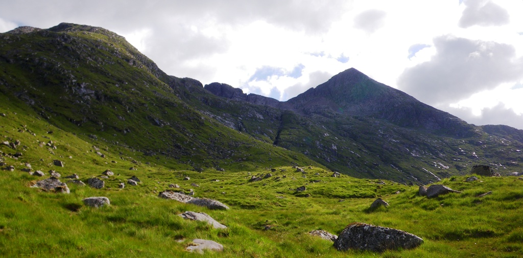
Taynuilt and Ben Cruachan were great. Especially if you like your hills rugged and slabby. It was reasonably hot and sunny only a little colder higher up. We went from a Carpark in the woods from NN028320.There were no bears. After a brilliant wooded lochside walk by Loch Etive. We made our way up Meall Copagach from it's north side. We had to navigate a couple of fences or two. Meall nan Each was next. Once reaching the top of that was the steep western side of Stob Dearg. Slabs and rocks were abundant. Some scrambling took place and some slabs had to be carefully navigated on the more south western side. Apparently we could see Ireland far in the distance beyond the Islands I believe of which was said to include Arran. This land mass believed to be Ireland was just visible beyond the Islands. We chose to go down the North Ridge from the summit of Ben Cruachan. This was because the other ridge we first intended from Drochaid Ghlas went further up the east side of Glen Noe. Which was Noe the right way for us at that point. The walk down Glen Noe to the road was very luscious and green. We stopped in The Taynuilt Inn which was great. The interior seemed well cared for, people got a wee bit of tablet with their coffee. The staff were welcoming and the prices for the drinks bought seemed reasonable. Walk participants: Alan, Andrew, Gerry, Jan, Jane and Rick.
Alan
Saturday 29th June — Maol Chean-dearg and An Ruadh-Stac
Two days earlier the MWIS forecast for Northwest Highlands mentioned bursts of rain moving northwards, some heavy with thunderstorms and risk of lightning. In the light of our recent tragedy, this was not good news. However, the Met Office summit specific forecasts for Maol Chean Dearg, and for Loch Carron village were dry but cloudy all day, with the chance of an isolated shower in the evening. On the Friday, this had improved slightly so we gathered optimistically at the Woollen Mill and Andrew, Gerry, Jane, Trl, Gavin, Craig, Chris set off punctually at 0800 in two cars, aiming to break the long journey for coffee and cinnamon buns at the splendid cafe at Dornie.
After a brisk drive, amazingly unimpeded by tourists, we arrived at Dornie to find the cafe closed. Not because we were early, but CLOSED, closed at the height of the tourist season with some feeble excuses for this inhospitable act posted on their website, long and too boring to read. We piled back into the cars and carried on to the pottery at Attadale where the cafe was closed because we were too early. A lovely Spanish lady struggled desperately to open the door before we broke in, served us with excellent coffee and cakes, then tried to get us to drink sherry from her place down in the sun.
Thus fortified, we continued to Coulags Bridge a little further on, parked and set off N up the glen. We had a nosy in the bothy on the way. The place was immaculate. The views are not extensive from the floor of this deep glen but the steep craggy E face of Meall nan Ceapairean soon came into view, towering above our heads. As we turned W and climbed up to Bealach a’ Choire Ghairbh much more of this rocky wilderness came into view, corries, ridges and stony slopes in all directions. Up the steep lower nose of the SE spur of Maol Chean-dearg, the rock was grey, fractured and loose in places, our footsteps noisy and rhythm broken. Higher up we crossed a geological line and the sound faded as we stepped sure-footed on the red sandstone boulders covering the entire upper part of this hill, so aptly named.
The views from the summit were fabulous in spite of the less-than-perfect visibility in the humid air. To the N we were looking down on Glen Torridon, a venue accessible only for weekend or week-away events. Far to the S the clouds had gathered, dark and menacing. On the descent, retracing our steps I heard the first of several peals of thunder, faint but prolonged by its echoes among the hills. 70km to the S, Fort William was getting blasted again.
We climbed An Ruadh-Stac briskly, on beautiful clean smooth solid rock at first, becoming steeper higher up and more broken near the summit. This is only 41m less than the Munro we had just done, but a rather steeper ascent. The bad weather was still evident to the S but no nearer. We saw no flashes and felt no static, but some cumulo-nimbus was building up. Needless to say, we didn’t linger on the summit or in other exposed locations on the route back, down over the Graham Top of Meall nan Ceapairean and steeply down to the path just S of the bothy. A great day out in our frontier land just begging to be explored. I am looking forward to the week we have booked at Attadale in 2020.
We re-hydrated and drank coffee in the Hotel next to the railway station in Strathcarron. As noisy as ever with the same crowd of swearing locals hogging the bar. Just older now, and fewer teeth. We didn’t linger here either – it was getting late. Nearer the Fort the roads were awash and broadband was off back at home. It took BT till the following afternoon to repair whatever was zapped in the area.
Andrew
Photos from Trl:
Wednesday 26th June — Glencoe Walk and Meal
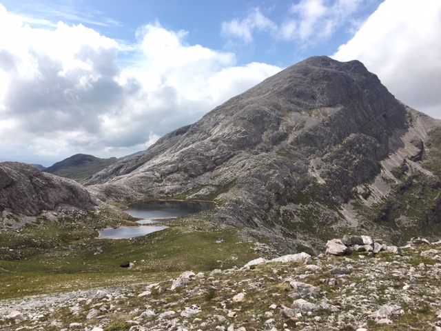
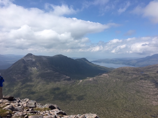
An outstanding summer evening in Glencoe was the setting for our Club social night. Wall to wall blue sky, no clouds, a light breeze and no midges. Perfect for an evening walk!
10 people attended the event doing different things.
Jan, Lynn and Suzanne took the easy option walking the West Highland Way from the Altnafeadh layby to the Kingshouse Hotel. Here they enjoyed wonderful views of the hills which all felt quite surreal. A great time to take lots of photos.
Chris and Gavin did a Corbett - Beinn a’ Chrulaiste.
Gerry and Steve walked the Devil’s staircase.
We all ended up at the Kingshouse Hotel where we were joined by Jane, Andrew and Clare. We enjoyed a very well presented meal but it did prove to be quite expensive.
Suzanne
Photo from Lynn:
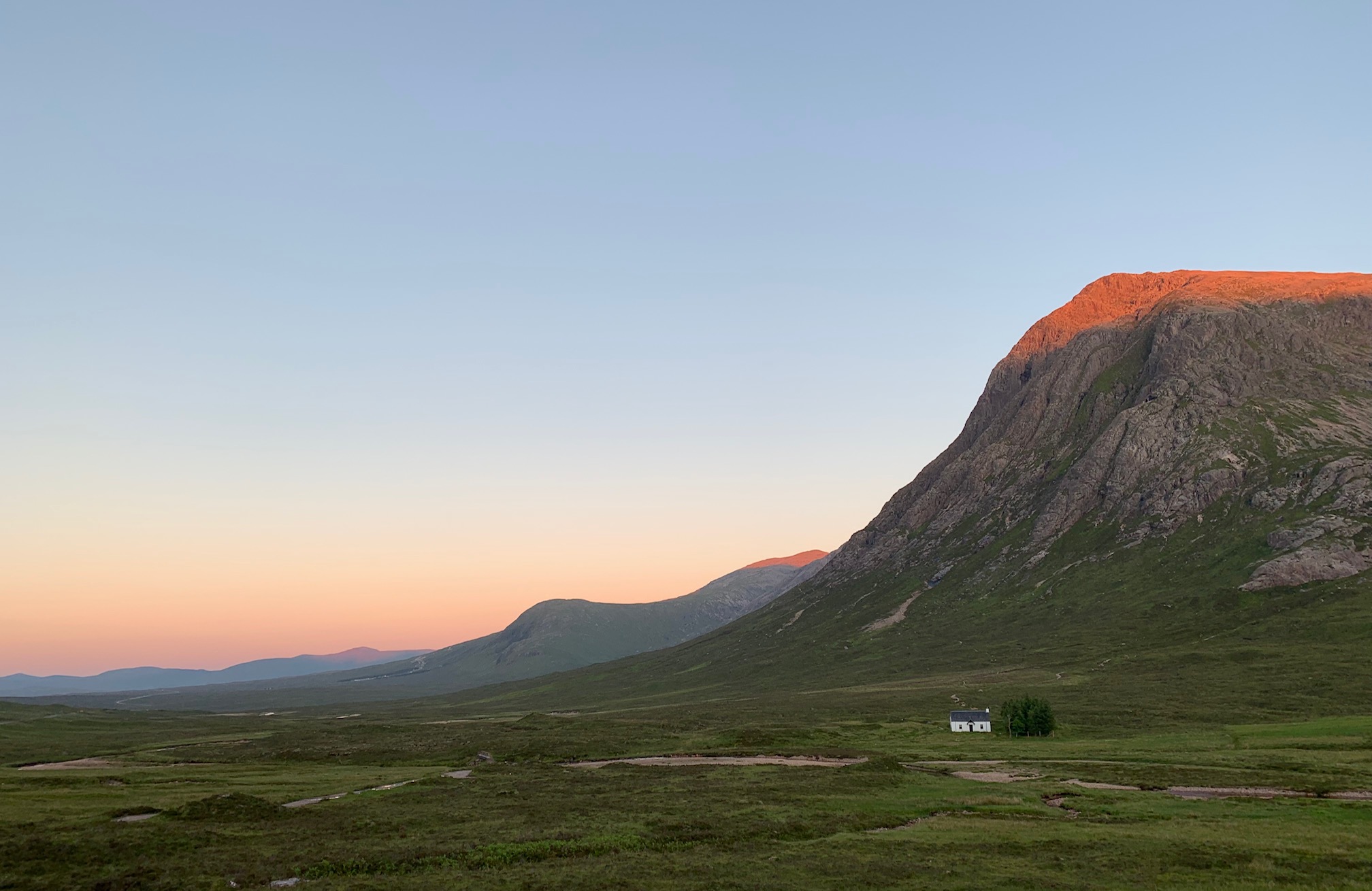
Sunday 23rd June — Meall na h-Aisre
With 7 of our stalwarts out doing the Midsummer Challenge, just 3 turned up to do the programmed walk - a couple of their Corbett summits – Meall na h-Aisre and Gairbeinn.
The day was dry but humid, with enough breeze to deter most of the midges. The climb to the first summit was gentle, over rocky patches and dry crunchy grass. We missed the message left for us by “the 7” and sat at the cairn discussing windmills and access tracks. The large windmill complex in front of us did not add to the view, neither did the new track from Garve bridge all the way up Coire Iain Oig.
We studied the route ahead over to Gairbeinn and noted that it crossed several areas of peat hags and it looked miles away……change of plan.
Gerry, satisfied with one peak, descended Meall nan Ruahag, crossed the new bridge provided by the new track and followed the river back to the car. Andrew & Kate continued a little further on the high ground and came down over Creag Mhor and Meall a’ Ghiubhais, the last section in a hurry having received a text saying “the 7” would be in Glen Gloy at 1730 – one hour drive away!
A hasty drive to Spean Bridge followed, only to get another message that the eta was now 1830. Kate left us here to recover from the drive and make her way back to Fort William. We continued on to Glen Gloy, arriving about 1800 to be met by an out of breath Gavin, the others still on their way down. Other cars and family members gathered to greet and congratulate the weary walkers and ferry them home.
Gerry
Friday 21st to Sunday 23rd June — Midsummer Challenge
Our Midsummer Challenge Walk was the longest high level route in Britain: over 50 miles remaining over 600m all the way. No where else in Britain comes close to this distance at this height, and yet the Monadhliath hills have three such routes.
Gavin
Reflecting back on this challenge, my recollection is of carrying a heavy load, across endless bogs and peat hags, up and down Sims – I now have ‘bagged’ 21% of the total of these rather featureless humps and they were not even on my list, being very tired from not sleeping well in a tent and aching feet. I don’t do camping and apart from a recent trip to Skye, I cannot recall last time I had an overnight in a tent, note I don’t say sleep.
As we started off on the first day I had a brief regret of taking on this challenge and wondering how I got myself into doing it. I lifted my rucksack feeling satisfied I had managed to pack almost everything I needed into my 26 litre bag, tent strapped on top and sleeping mat underneath, but it was heavy at approx 12 kg. Anyway, good spirited we all set off in drizzly rain and headed up the hills. Keeping an eye on my gps and counting the km, 5, 10, 15 – halfway, 20, 25 it was hard going and most of the time I looked down to make sure my feet were negotiating the uneven terrain, bog and peat hags. Eventually Gavin called a halt at almost 28km and time to camp. It was the loveliest spot, just below Carn Sgulain. Waiting for the kettle to boil I soaked in the views of the Cairngorm hills across the wide glen who were all bathing in pink evening sunlight and also looking up towards A’Chailleach just one km or so away, it made me feel quite contented and calm. I was also happy with the performance of my newly purchased wee Trangia and finishing the warm evening meal and cup of tea, I set off to climb A’Chailleach. Walking with no heavy bag was easy and I felt quite refreshed after some food and a break, so I reached the summit quickly and sat down by the cairn. Taking in the views, the space, the stillness of the evening and the quiet, clear air on this the longest day of the year. An emotional journey up to this summit, thinking of a friend who is no longer with us with whom I had planned to walk these hills.
Gavin had warned us that the second day is the hardest, he was right. It started fine as we were following the Munro path around to Carn Dearg, however, after that it was back to peat hags and no paths. Jane and I opted to omit the Geal Charn summit – I had already ‘bagged’ that one! So we set off on our own in good spirits, enjoying our ‘freedom’ and everything went well until we reached a small hill overlooking the 66 windmills of Stronelairg, huge, intimidating and scarring the landscape but maybe a price we have to pay. At this point of the day we were thoroughly fed up with peat hags and another hill to climb so a small ‘short cut’ using some of the windmill roads seemed a good idea, to start with. It was probably a detour of 2-3 km and what looked like easy walking was not so when the going down the hill also meant we had to do a bit of a up the hill. Realising that the others were ahead of us by this time we tried to send a text – apparently Jan got it on the Tuesday after we had finished the walk – asking the others to wait for us. Doing our best to catch up going uphill over yet again more peat hags in the late afternoon was exhausting but eventually we caught up and then to be told we were going to try to do a few more km to shorten the last day’s walk. Although most of us agreed this was a good idea, I think we were tired from a full day’s walking over difficult terrain carrying a heavy load. However, miraculously some hidden energy was produced carrying us over yet more peat hags for some km. Eventually Gavin found a suitable place, again a lovely spot on a little top enjoying the evening sun. At once the back pack was off, feet liberated from the boots and floating above the ground, I felt so much better and able to put up my tent, cook my food and make a cup of fresh tea, you just cannot have too many of those. And thanks Gavin for fetching water for us all that evening. I crawled into my sleeping bag around 9.30pm, sun still shining and the evening felt warm and I was off, asleep. Woke up at 3.30am, feeling all rested and awake. I did some serious thinking about the weather forecast for the day ahead, thunder storms and torrential rain coming in later. It did worry me and I had an option of going off the hill. But I also wanted to complete the challenge and at around 5am I got up, made breakfast and packed my bag, ready to complete the walk across the hills. The rucksack did not feel any lighter despite there being less food, however, there was plenty of packaging to carry back home, something to note for future expeditions.
Setting off on the last day before the others, I really treasured being on my own for the first 30 minutes or so, it is something special about having the hills to yourself. I think we all enjoyed the walking in the morning and stopped at the vast rolling Corrieyairack Hill to take in the views all around on this beautiful day, trying to recognise and name hills in the distance. It felt warm and calm and walking was good, perhaps I was getting more acclimatised to this form of travel and taking more notice of what was around. The climb up to Carn Dearg was hard but at the same time beautiful, I did rest a few times, sitting down and looking back to where we had walked in some amazement seeing the hills in the distance. Not particularly a feeling of achievement, just realisation of what I often feel on the hills in Scotland, that places are closer than what you think, as the crow flies. And that over the last three days I had walked over these hills touched and smelt them and they now feel like somebody I have begun to know.
Following a well earned rest on Carn Dearg we headed for the hardest and what seemed the longest part of the day. Choosing not to join the motley crew up and over Teaga Bheag and the end 600m mark but jumping over endless peat hags and eventually resting in the heather waiting for the rest. From there on the last 7-8 km were done on adrenaline, if I stopped I would never be able to get up again. The ridge above Glen Gloy was never ending and the end seemed further away, however, after over 11 hours and 35km of walking that day we all got down to finishing point. A total of over 95km and 4000m of ascent in 3 days. Would I do it again, probably not, carrying such a heavy load I found difficult. However, it took us to places I probably would not visit, staying the night in beautiful places on the hills in good weather – what a treat. I think I might consider going to the effort of doing that again, so who knows maybe the tent will be out again after all. It was all an amazing experience so thank you Gavin for finding the route and believing that we could do it and leading us and thank you to everyone for your great company and friendship on the way.
Trl
Photos from Jan:
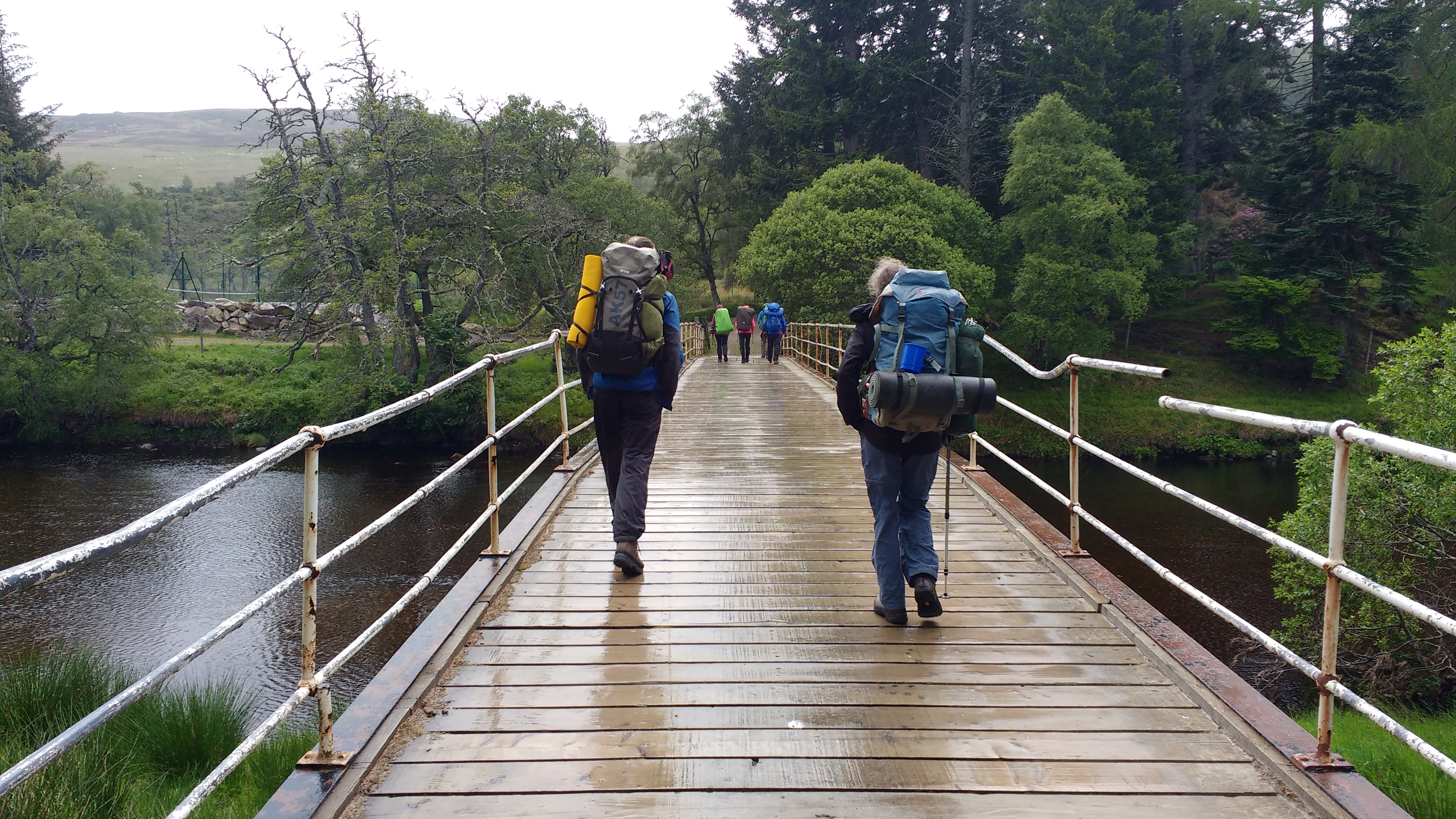


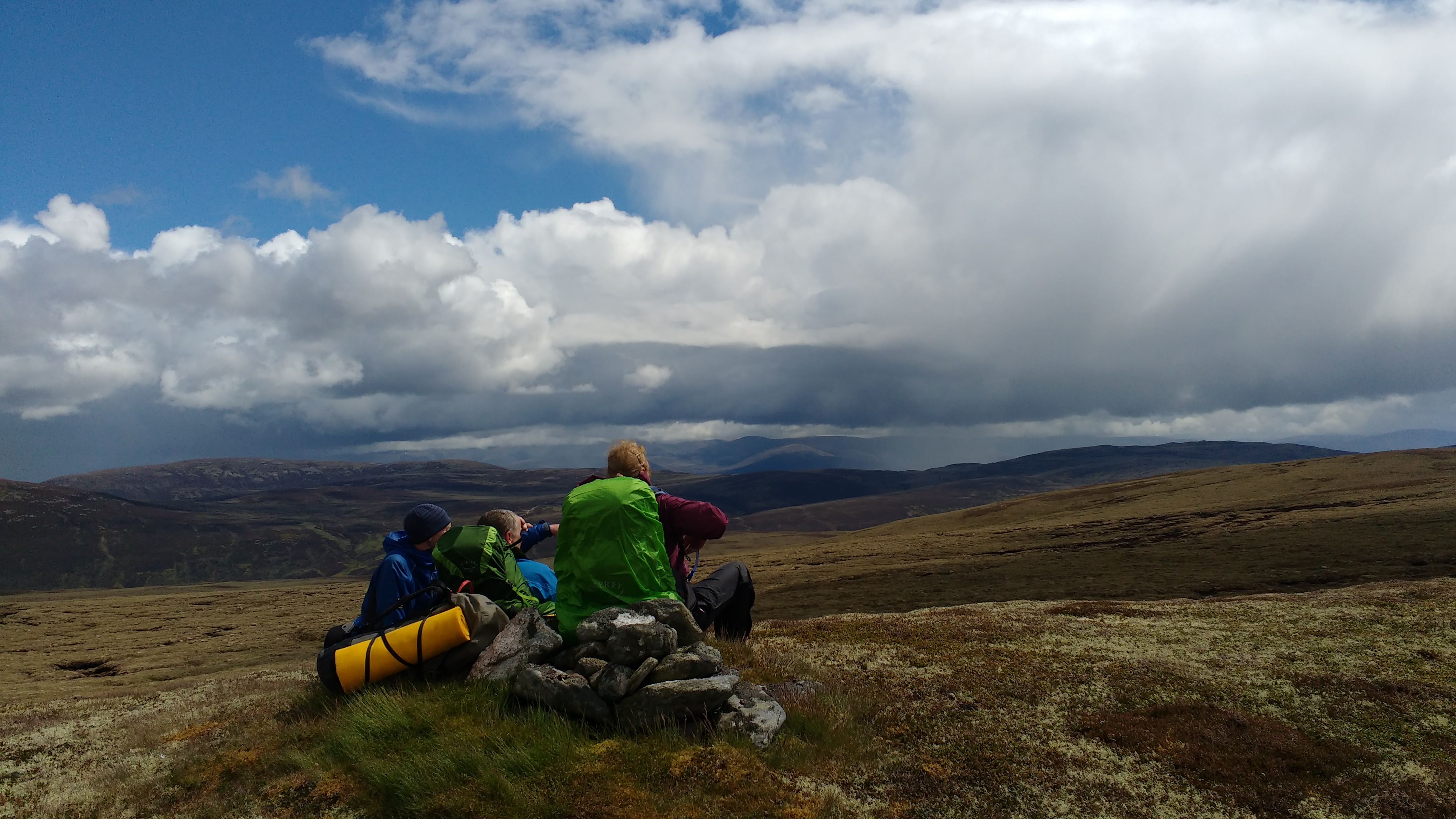



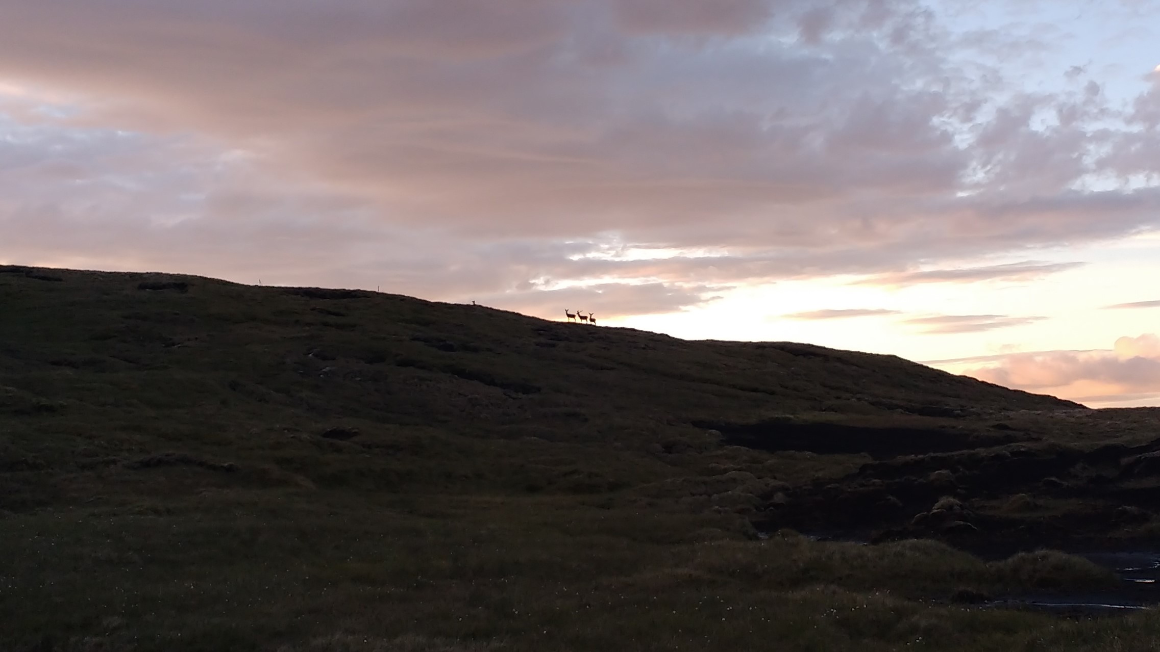
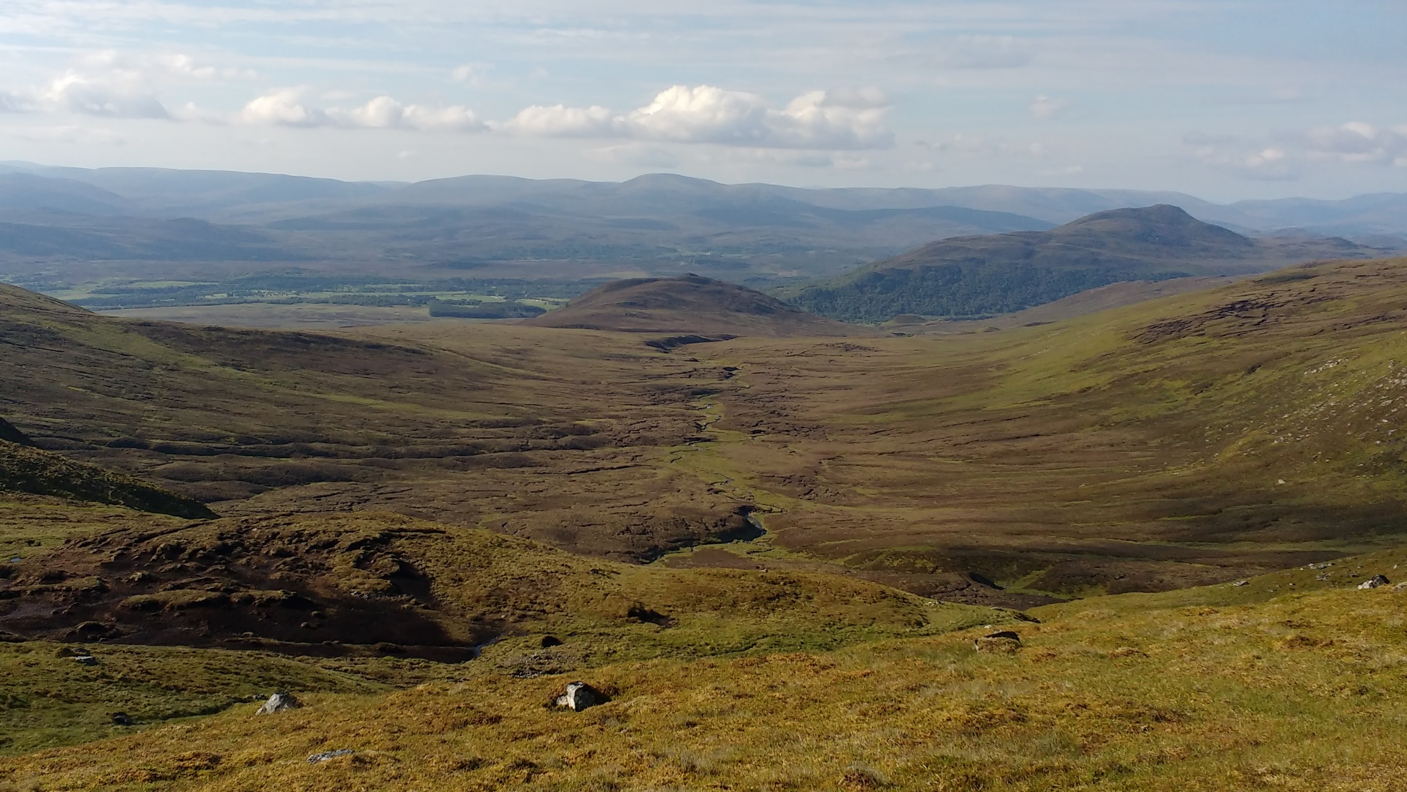
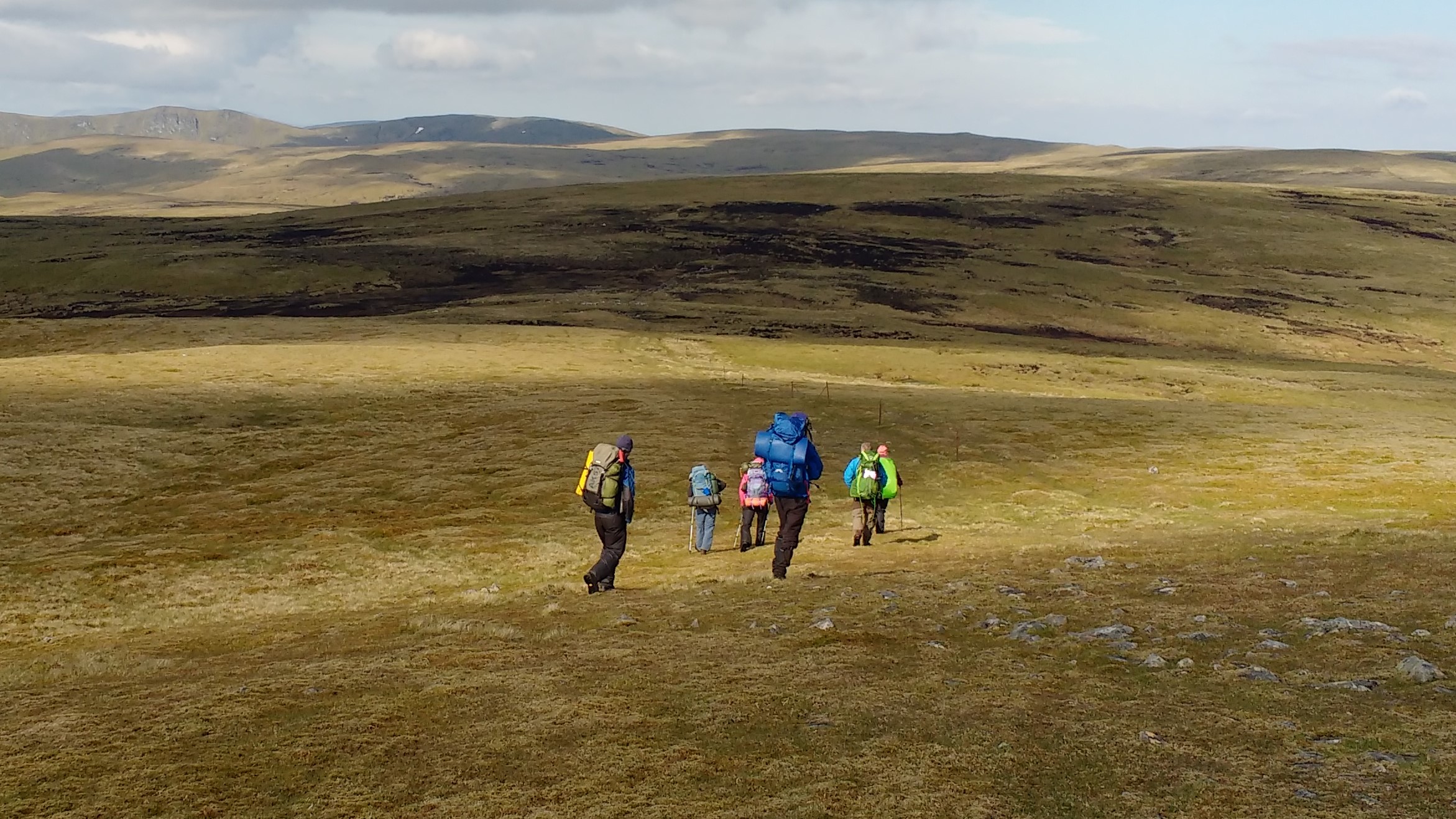
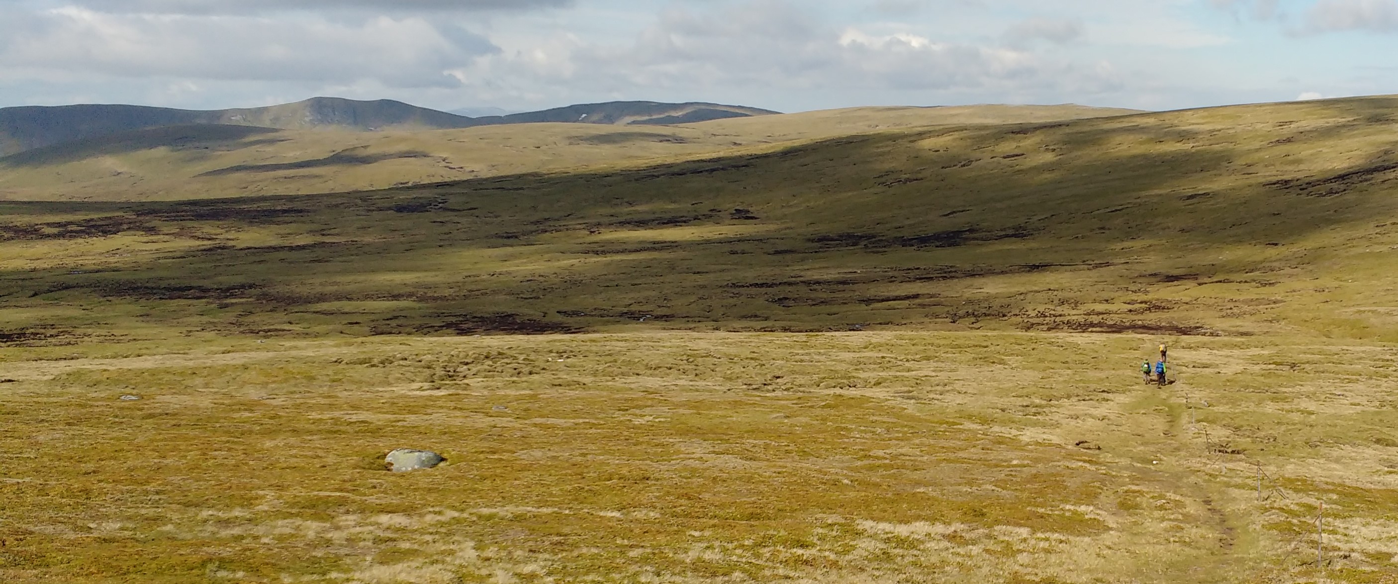
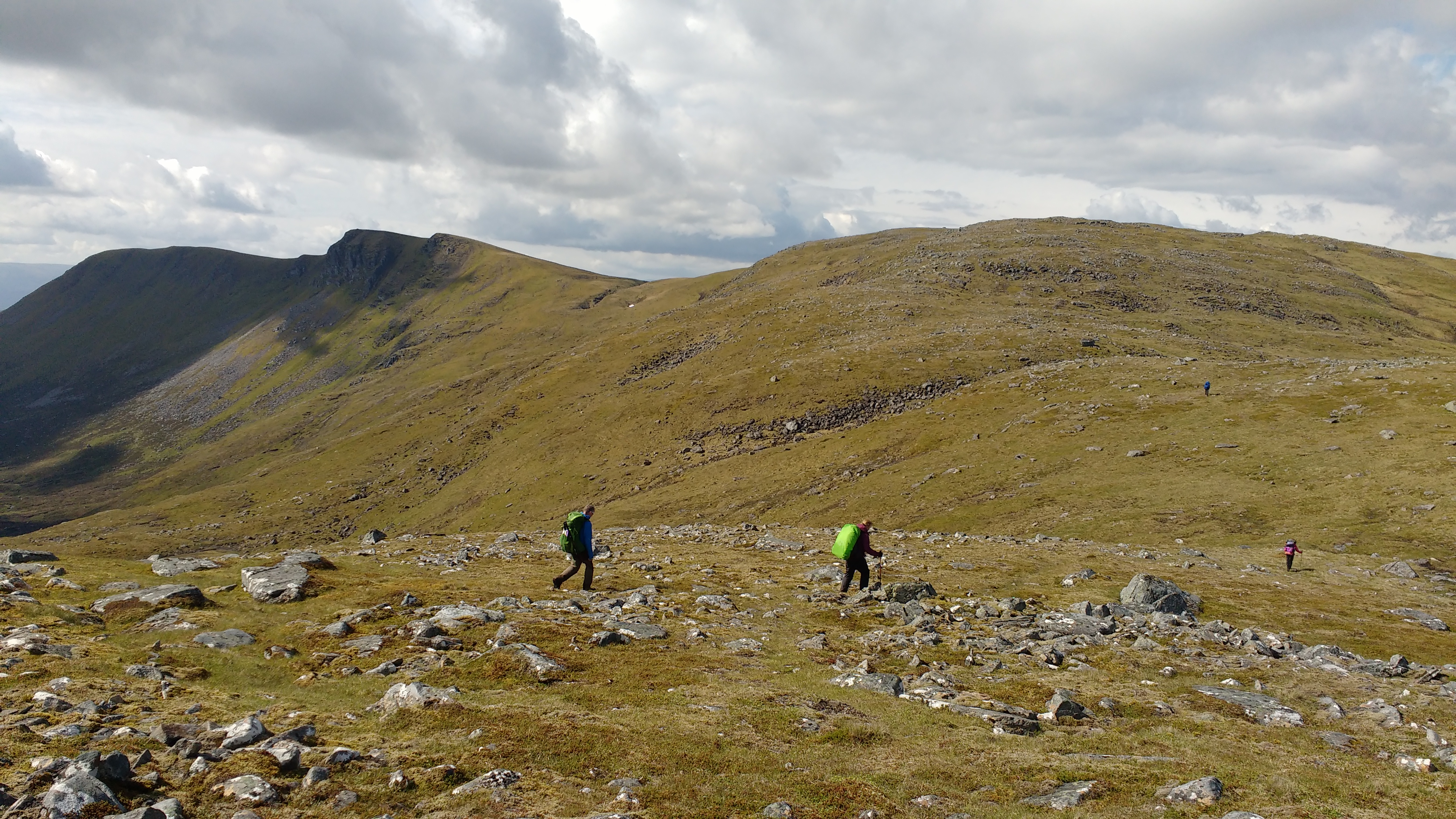
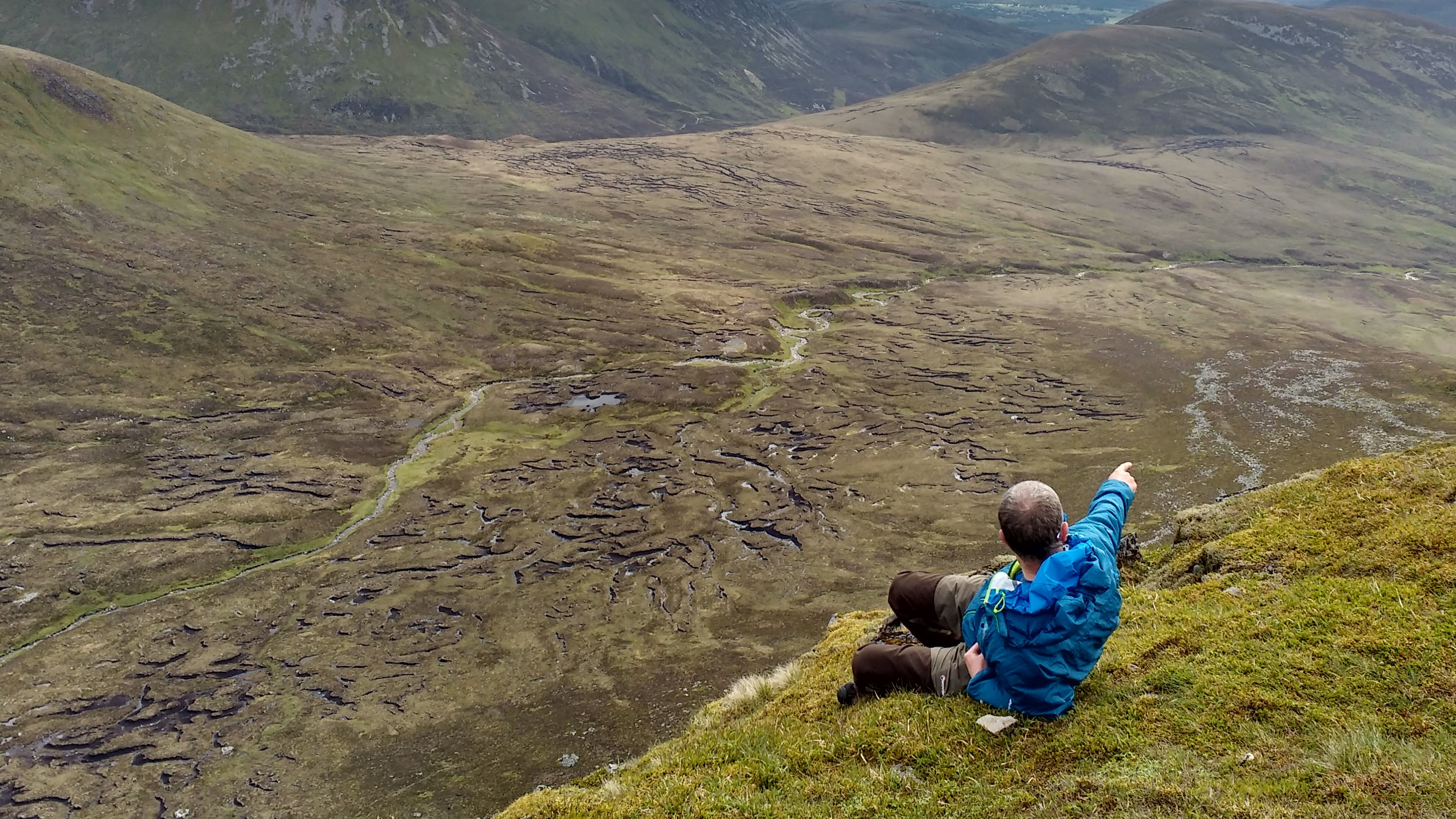
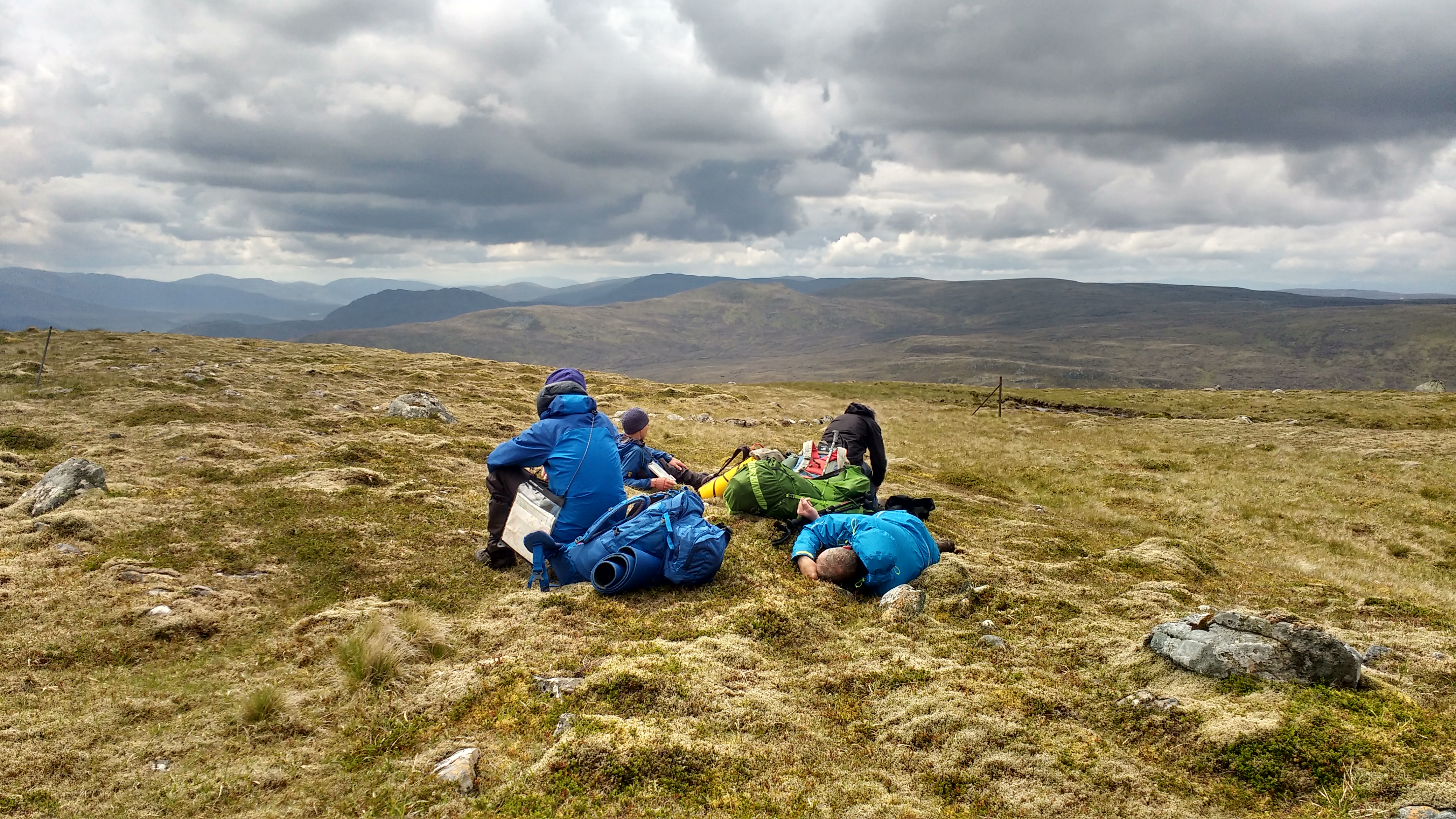
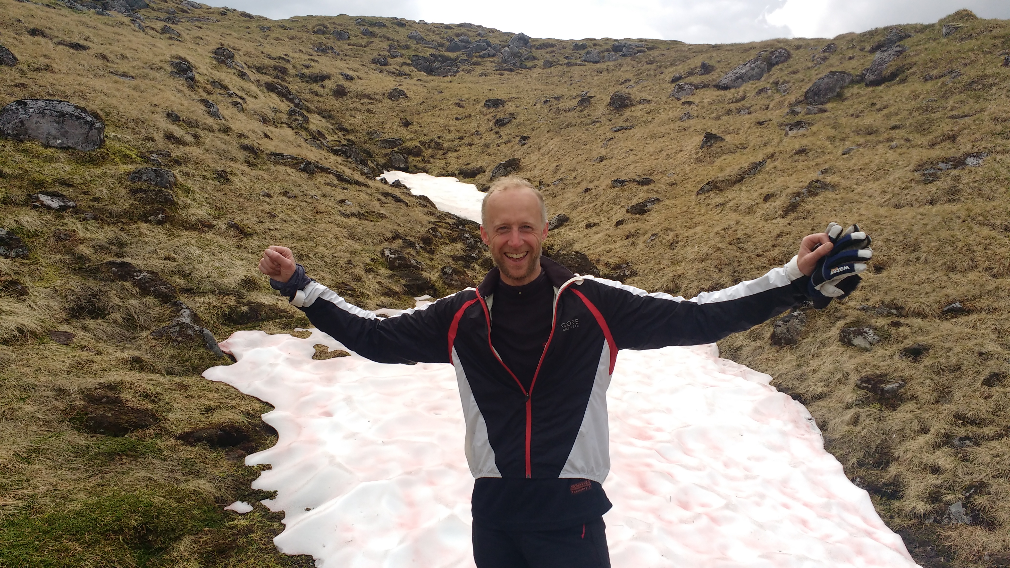
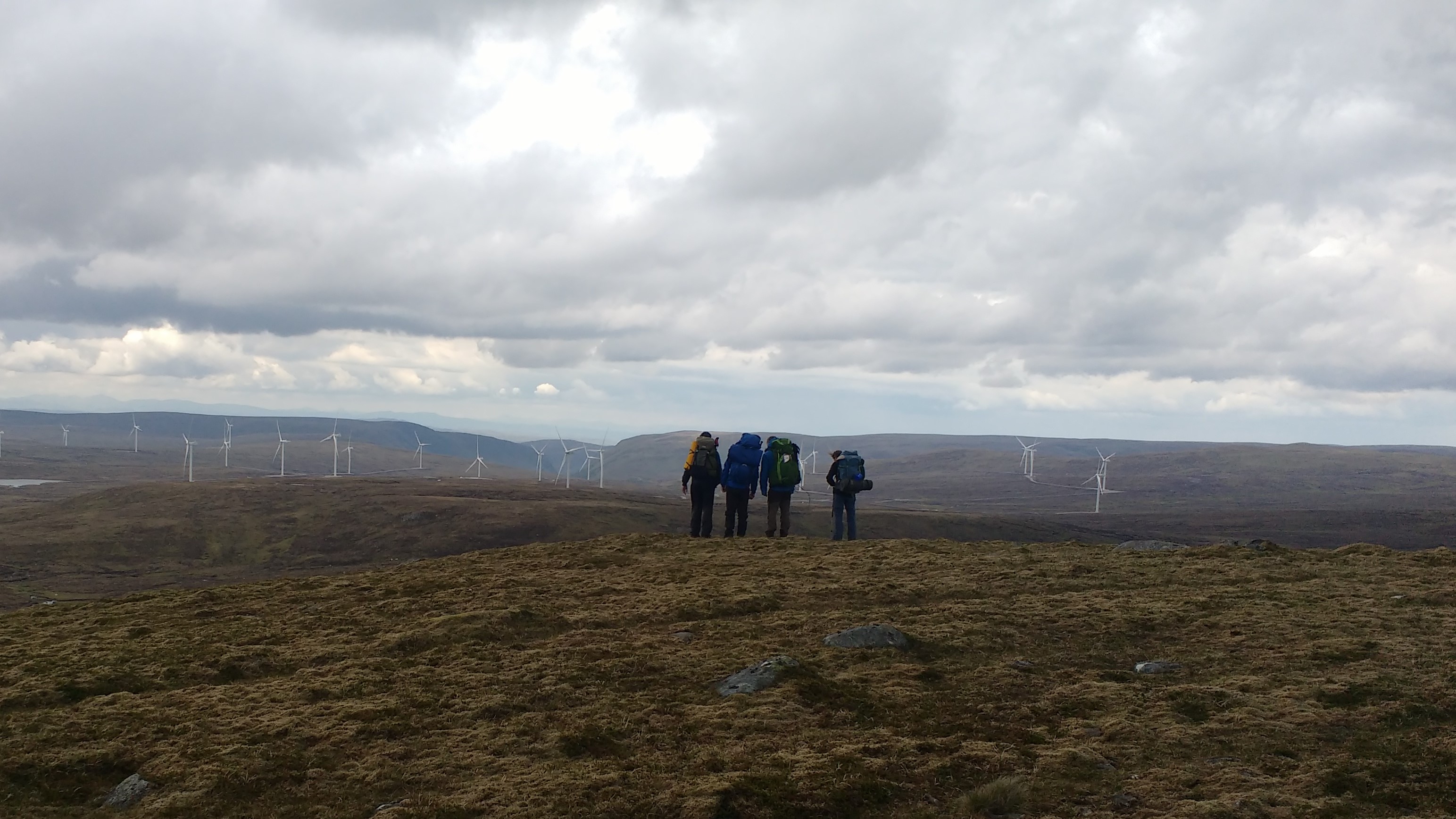


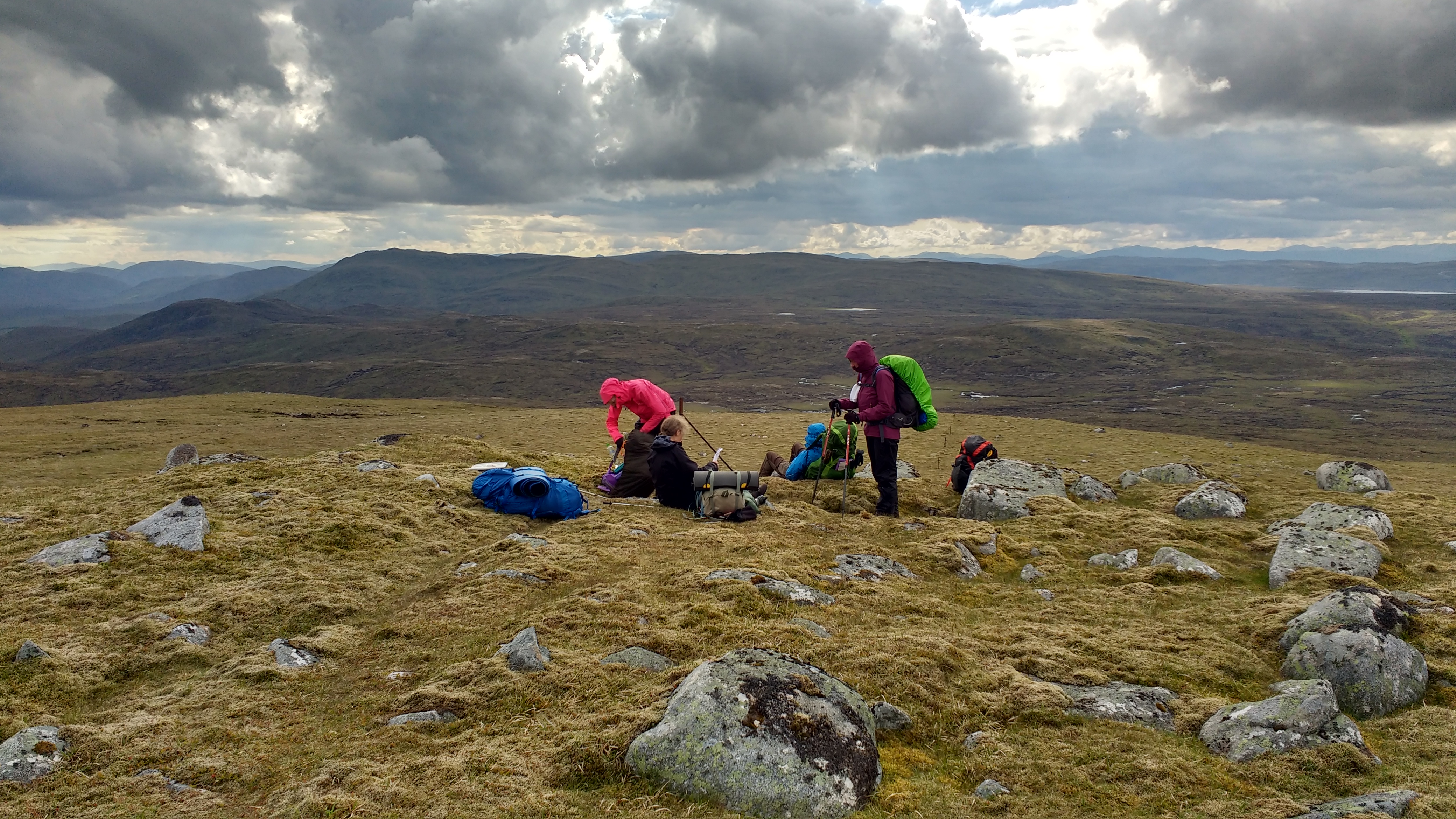
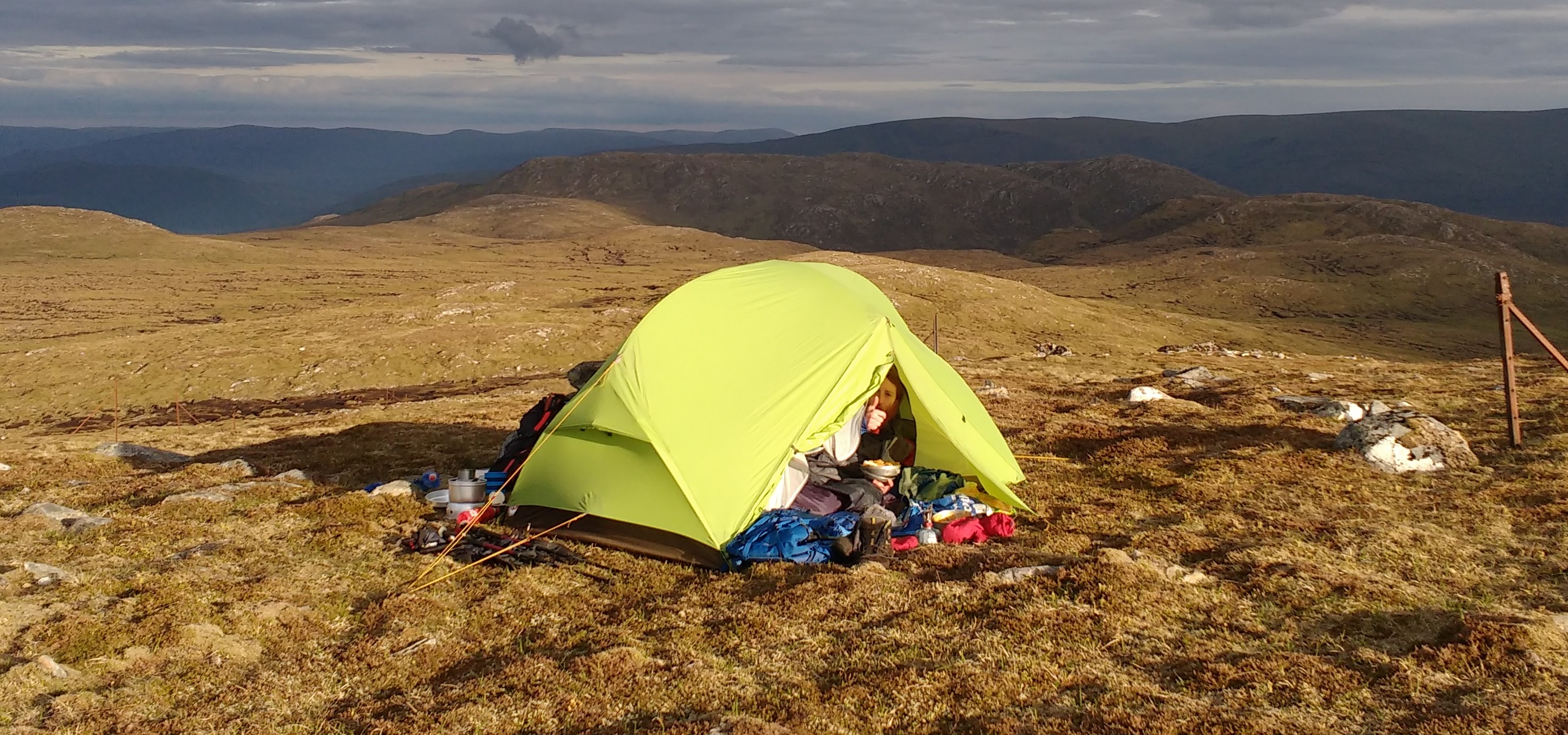
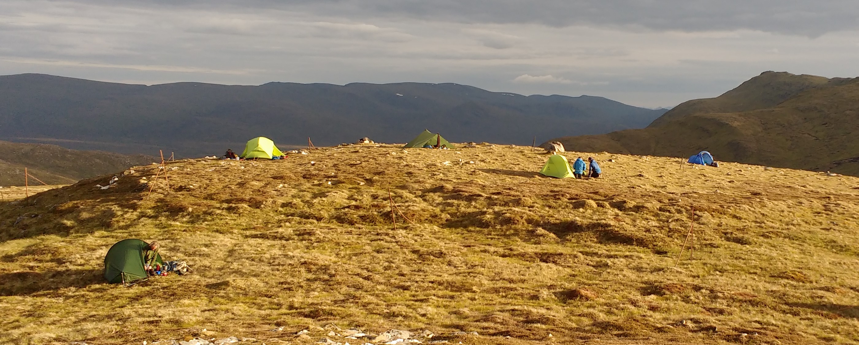
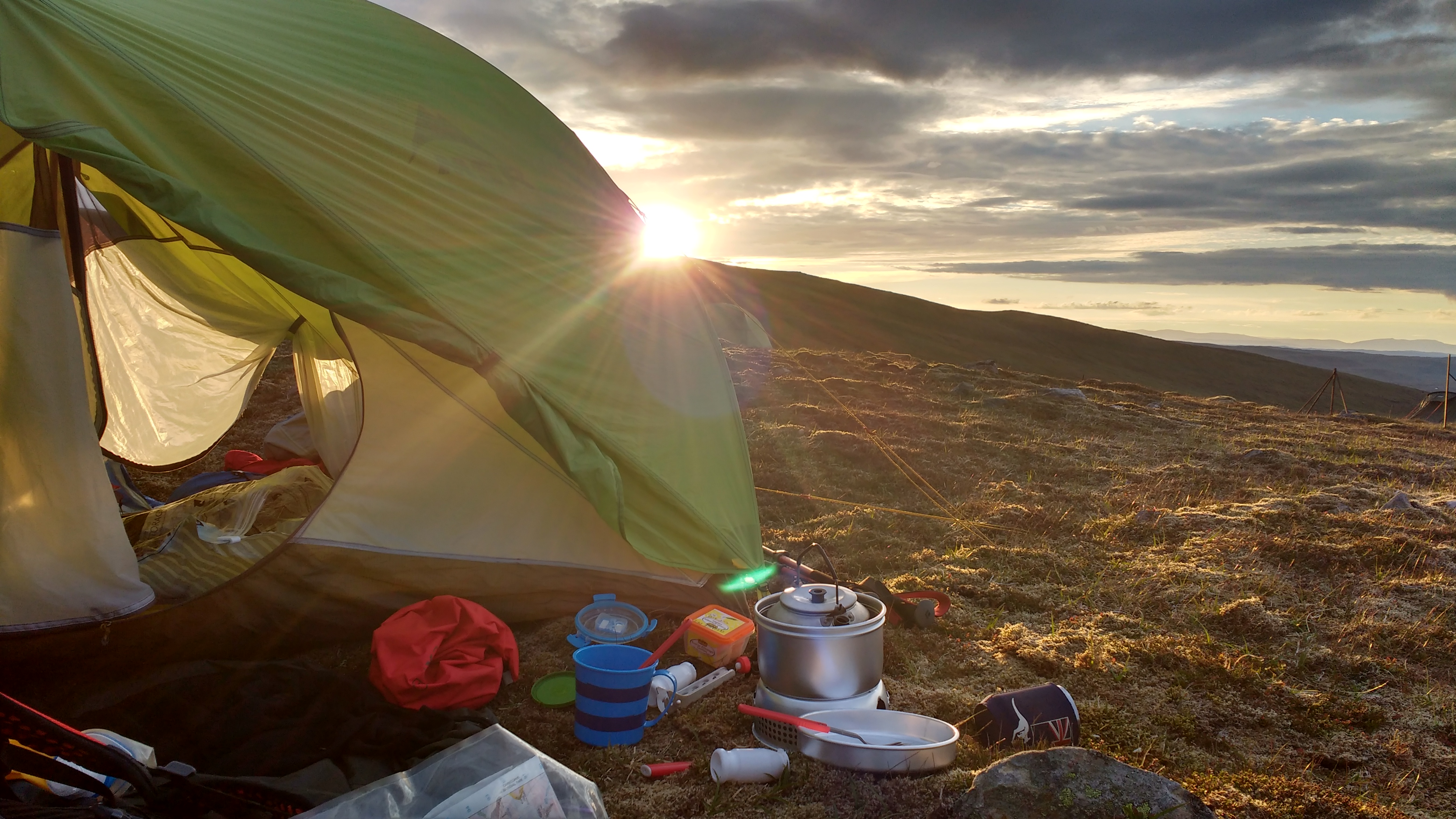
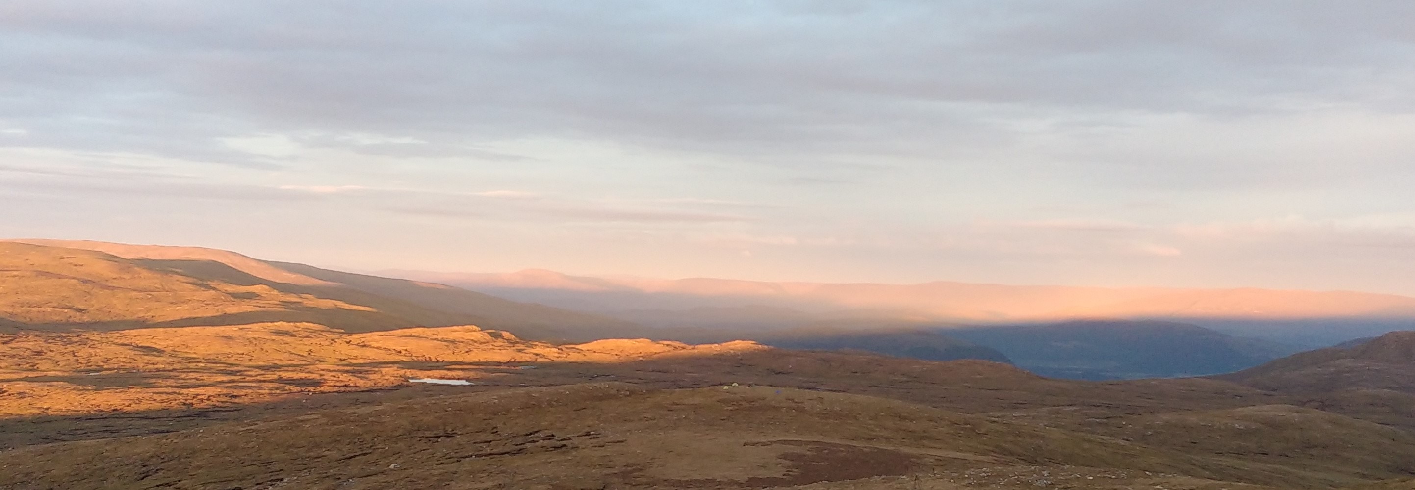
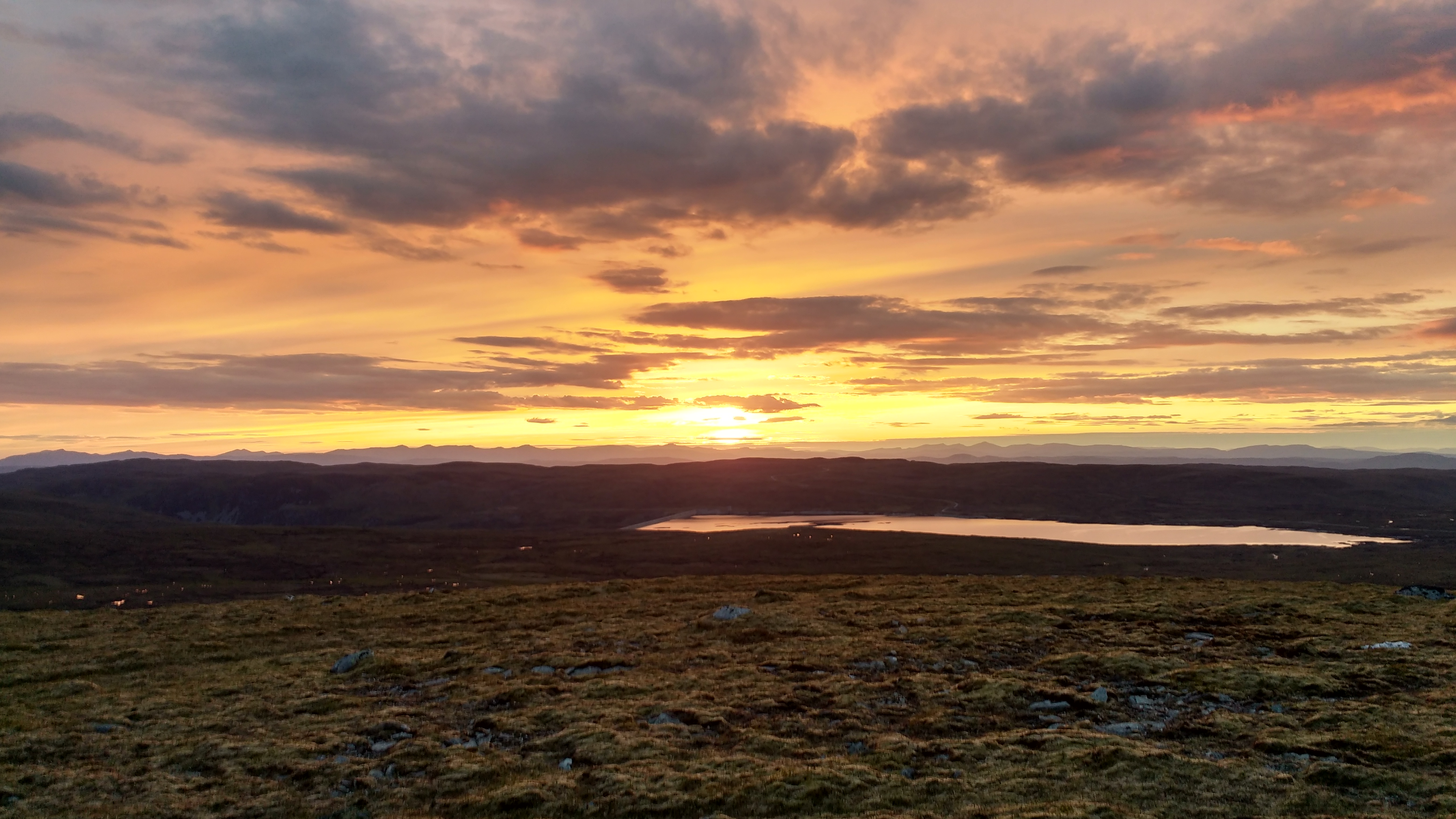
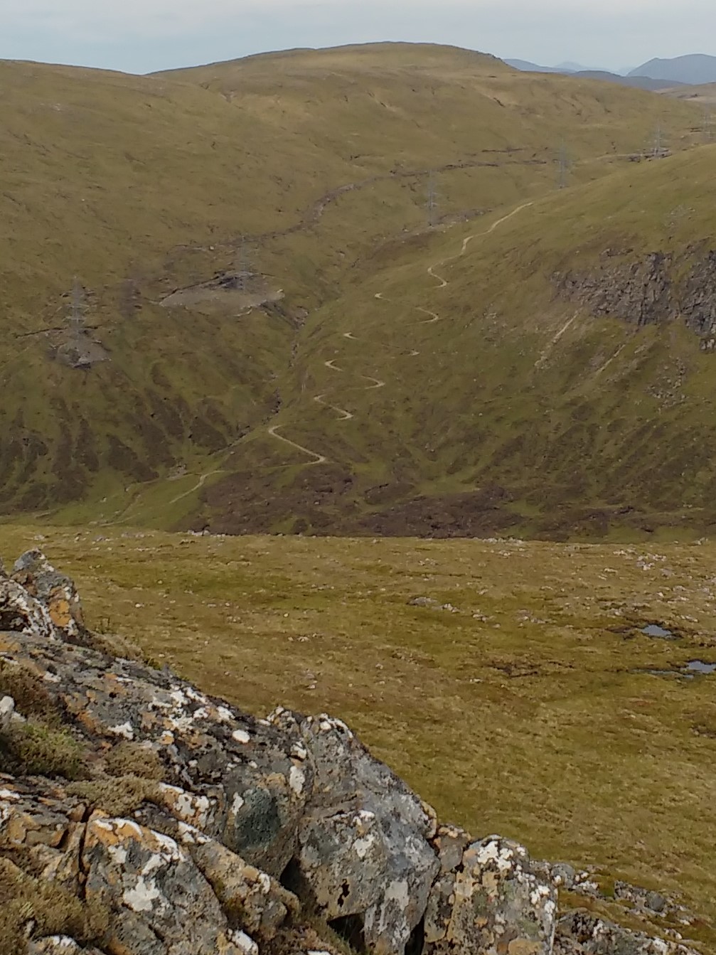
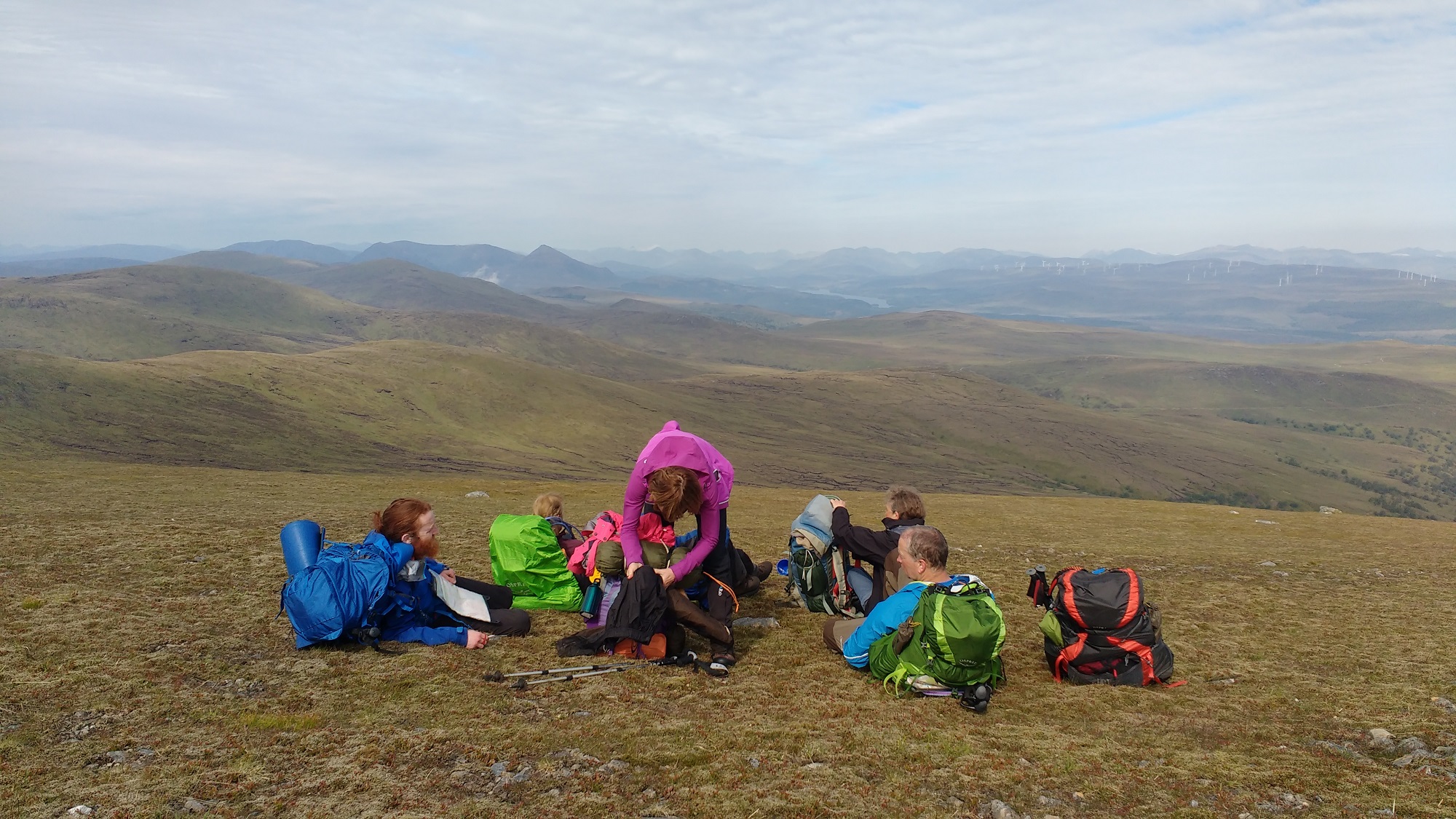
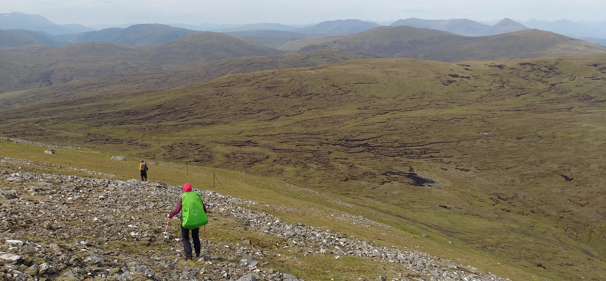

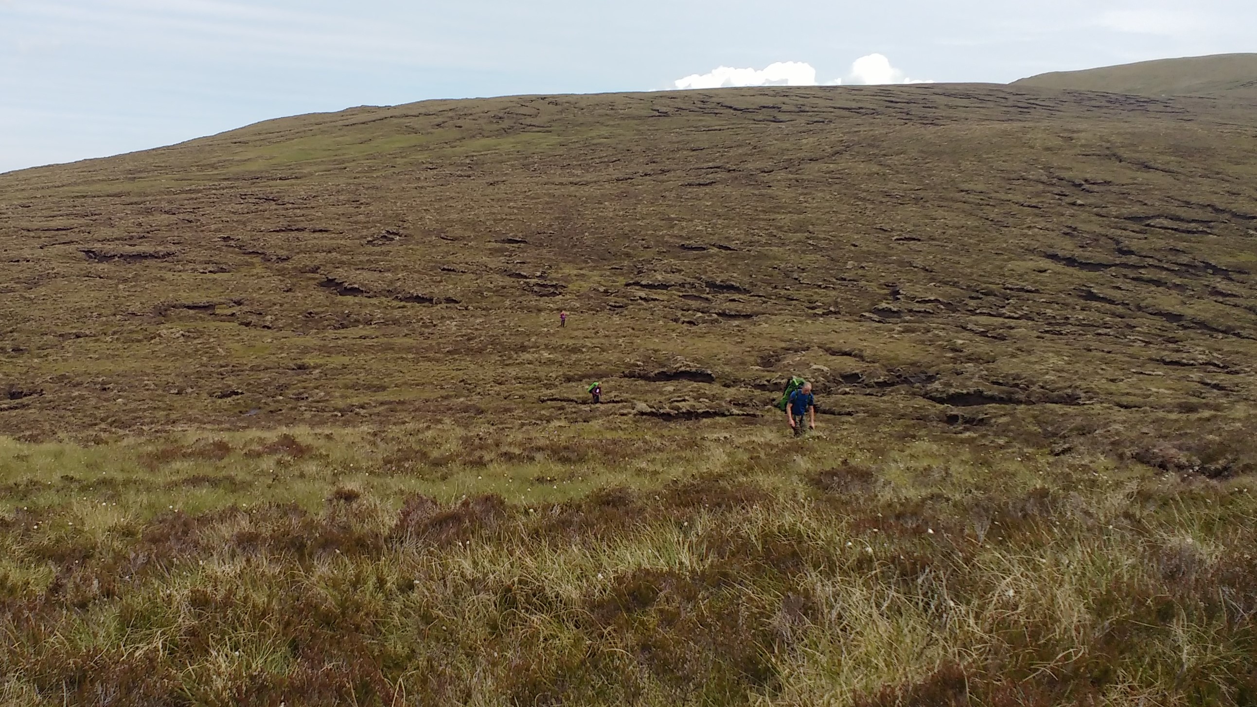
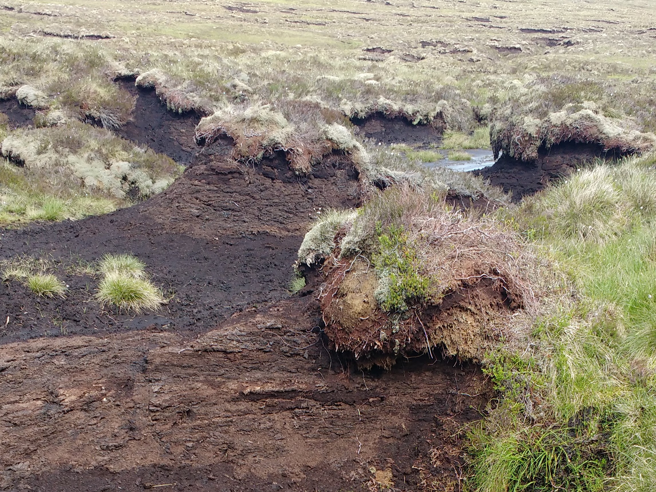
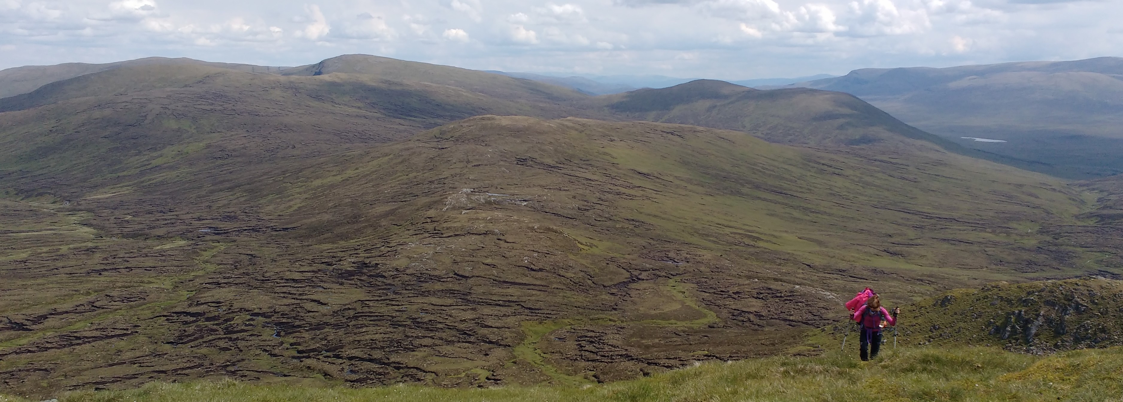

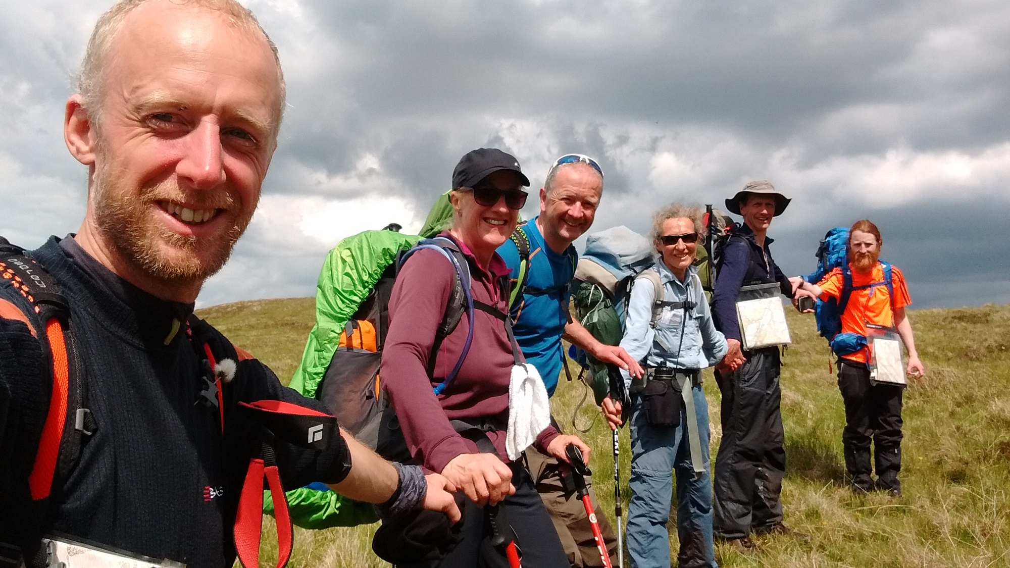
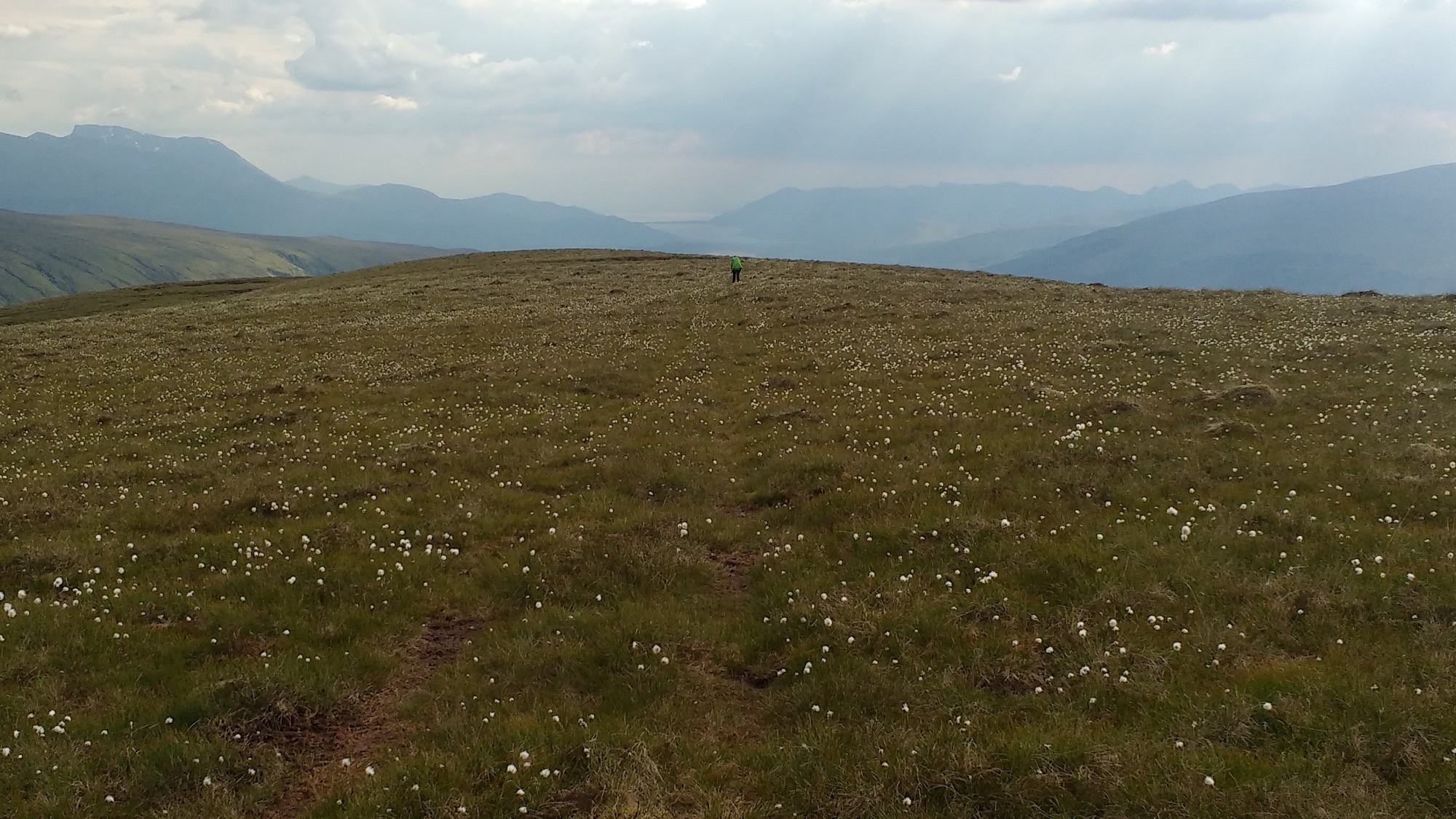
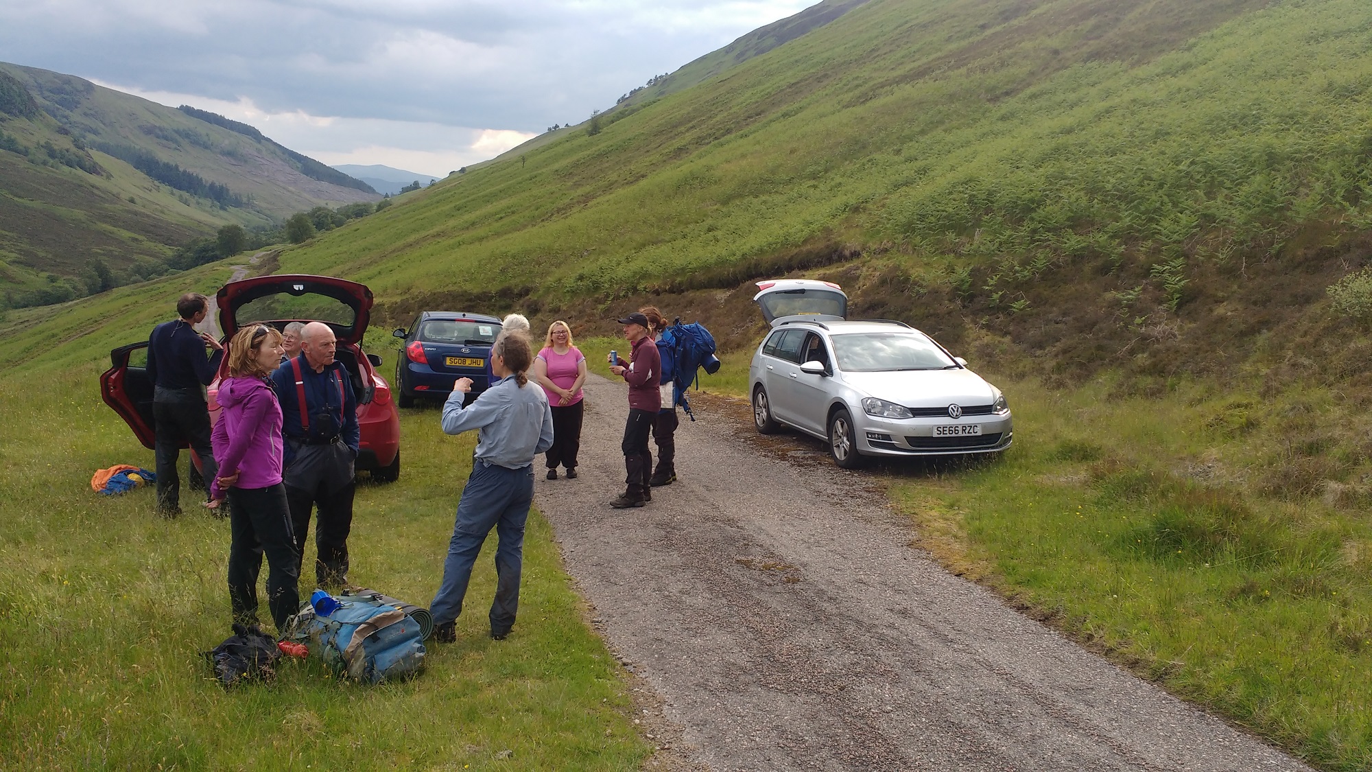
Saturday 15th June — Five Sisters of Kintail
The walk was attended by Willie, Andrew, Jeanie, Angela, Alan, Jan, Craig, John, Jane, Guy (guest) and Trl who went off and did other hills.
We set of from the car park and made good steady work to reach the col to begin the enjoyable walk along the ridge. The weather forecast was for mixed sunshine and showers and it proved to be correct, with some short but heavy rain showers followed with some lovely sunshine which allowed us to have some amazing views. The first Munro was our third Top of the day, but was rather chilly so we set off or our second Munro and some lunch. After lunch we had some scrambling to do to get to the col before climbing back up to our third Munro, where we met some walkers going the other way who were planning to climb the Brothers as well, hardy people. We stopped for a wee break before Willie, Alan and Jan went off and climbed the Corbett Top before joining everyone at the Kintail Lodge Hotel for a well earned cuppa.
Willie
Sunday 9th June — Ben Lawers Horseshoe
7 walkers were out: Alan, Angela, Craig, Graham, Jane, Jeannie, Robert. The weather was mainly dry but overcast with a couple of short light showers.
Graham climbed Beinn Ghlas, Ben Lawers and Creag an Fhithich. Robert also did An Stuc. Jeannie and Angela also did Meall Garbh. Alan, Craig and Jane went on to do all five Munros to finish on Meall Greigh.
(Info supplied by Graham)
Photos from Angela:
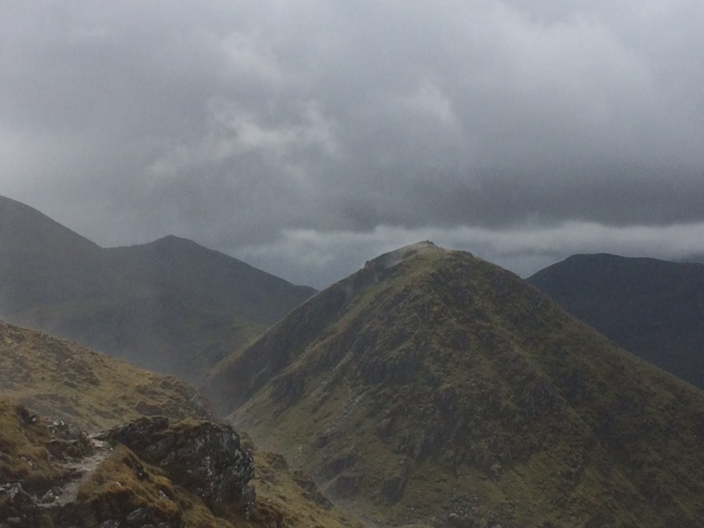
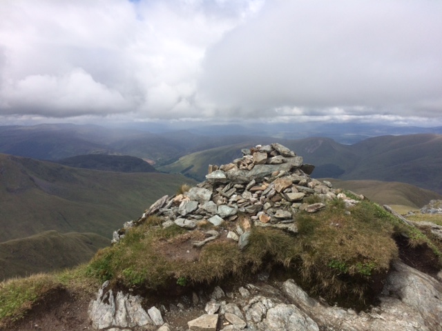

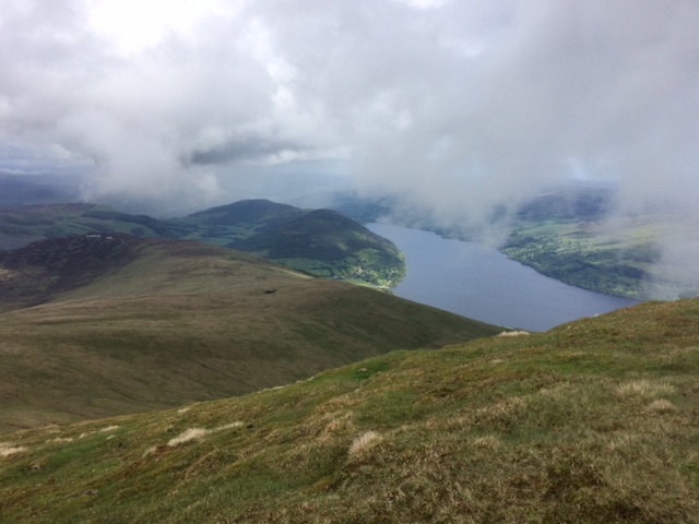

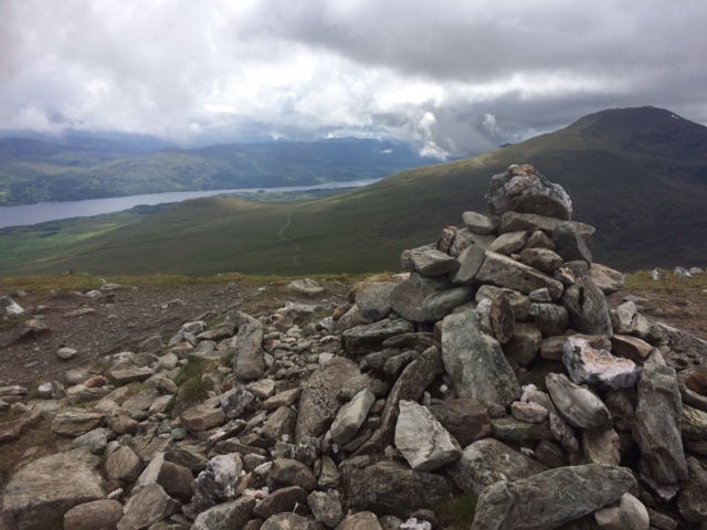
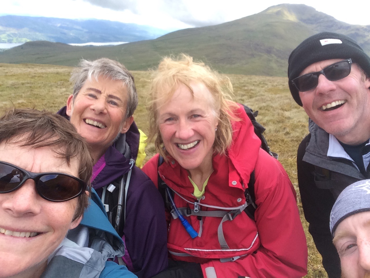

Friday 31st May to Sunday 2nd June — Cairngorm training weekend
Five of the seven members planning to do the Midsummer challenge met up after work on Friday night to travel to Blair Atholl for a training weekend. After some delays caused by a very wide and rather slow moving load on the Laggan road the group of Gavin, Willie, Jane, Alan and Chris finally set off from the car park at the Old Bridge of Tilt. It probably took no more than ten minutes to realise that the packs were too heavy and the rest of the evening walk was spent trying to figure out what could be left behind for the next trip. By the time the group left the landrover track and started the serious ascent, Chris had gratefully accepted Gavin’s offer to carry her tent!
After some discussion at an attractive looking camp site by an old bridge over the burn the group decided to push on and go for the high level campsite on Beinn Mheadhanach. It was a tough climb after a long week at work and before some of us at least had had our tea. The advantage was a midge free campsite but the temperature had dropped with the sun setting and the wind exposure. More lessons learnt on pitching the tent in the wind and the speed with which you cool down in these conditions.
Nevertheless the tents were still standing in the morning and it was good to start the day’s walking from the top of the hill rather than being faced with an immediate climb. We made our way over towards Beinn Dearg which came and went in the cloud. Leaving the rucksacks at the col we skipped up to the Munro summit (well, almost but it did feel good without the pack for a bit).
Returning to the packs we headed down to the heathery slopes to the Tarf water and then followed it down to its confluence with Glas Feith Mhor.
Here we pitched the tents by the burns, sorted out the packs and enjoyed some lunch before setting off again with much lighter loads. Gavin went back to do Beinn Bhreac and the higher route while the rest of the party followed Glas Feith Mhor upstream to meet up again on the flanks of Carn an Fhidhleir. We did not linger long on its summit as the wind was cold but headed down by various routes which all culminated in the peat hag between it and An Sgarsoch. A steady pull back up to the top of An Sgarsoch was rewarded by views into the main Cairngorm plateau and there was enough shelter at the top to sit for a bit and watch ringed and golden plover.
We returned to the campsite by descending back into the peat hag and crossing the shoulder of Carn an Fhidhleir again. By the time we reached the campsite the weather had improved giving a mild, sunny evening. Tempted by the weather and rejuvenated by tea, Alan and Chris decided to go up Beinn Bhreac. It was a beautiful evening light with the Monadh Liaths, the location of the challenge at the end of the month, in the distant view.
The weather, however, did not last. By Sunday morning, the burn, which had lulled us to sleep, had risen making the crossing a bit more tricky than it had been. We did manage by paddling with and without boots on. The cloud increased as did the rain and it was hard going to climb up Braigh Sron Ghorm and then onto Carn a’ Chlamain with a cold wind also sapping energy. It was too cold to linger on top and we heading on down the track that ran more or less from the summit all the way down into Glen Tilt. Eventually we dropped out of the cloud and after stopping for some lunch continued down into the glen. The sun came out and the contrast of the morning when everything had been grey with the fresh greens of the glen in the afternoon was both striking and welcome.
We made it back to the cars and were glad to be able to finally set the packs down but with a sense of achievement. A café in Blair Atholl provided coffee and chips, not a usual combination but it worked on this occasion.
A good training weekend with some lessons learnt about keeping the pack weight down, which side of the burn to pitch your tent if you want to avoid wet feet in the morning and cooking in windy conditions. Are we ready for the Midsummer challenge? I don’t know but I am certainly better prepared that I was thanks to this weekend and experienced the Cairngorms from a different perspective.
Chris
Our midsummer walk was going to be 60 miles of backpacking over the Monadhliath mountains in 3 days. So before this we wanted a shorter expedition as a training weekend. Friday evening after work five of us (Alan, Chris, Gavin, Jan, Willie) drove across to Blair Atholl and parked at Bridge of Tilt. We walked up the valley on a track on the west side of the river. We crossed the river at the first bridge and crossed back again at Gilberts Bridge. This was a pleasant walk. After this bridge we got to the end of the track and then followed a path near the river to the bridge over the Allt Mhairc. The bridge was over a narrow gorge. Shortly after we filled up with water before continuing up to the so called New BridgeEX. This was an attractive little bridge, but it was a long time ago that it was new.
At this point the training weekend was paying off: Chris realised she was carrying far too much. To lighten her load I took her tent from her. We both immediately noticed the difference in weight!
The forecast for the evening was not great but the weather was probably better than forecast. Our plan was to camp high for two reasons: one was to shorten the next day, and the other was to get above the midges. This was the midge season and we didn’t want to camp low level and be plagued by them. So we were aiming to camp near the top of Beinn Mheadhonach. I headed up ahead of the others to look for a camp spot and to have at least one tent ready. I think it was about 9:30 that I got up and the others arrived half an hour later. Definitely no midges: they were all blown well away. There were a few good views on the way up through breaks in the clouds.
This was a late night by the time we had all the tents up and had our meals cooked. I was the first to start cooking, but the last to finish, as normal, due to having to rehydrate some of my food. This isn’t usually a problem when there is a whole evening to fill, but is more of an issue when camping down so late.
The goal was to be away by 8:00 next morning, and we more or less achieved this. It was a short walk to the summit from which we had some views. We quickly descend and went on for Beinn Dearg. We left the packs at the col to the west of Elrig ic’ an Toisich and headed up Beinn Dearg, but unfortunately the summit was in cloud, so no views. Then back to the packs and a short break before heading NNE down to the Tarf Water. This was fairly easy to cross here as we weren’t too far from the source. From here we followed the Tarf downstream to where it was joined by the Allt Feith Mhor. I crossed here a few years ago and remembered this as a good camping spot, and indeed it was. We arrived not long after midday and it didn’t take long to get the tents up. Willie camped on an island in the river and Jane camped the other side. Alan and I shared a tarp while Chris camped nearby.
The plan now was to do the Munros in the area and then to return to the campsite. While the others headed up for Carn an Fhidhleir, I instead headed in the opposite direction up the Corbett Beinn Bhreac. This is one of the most remote hills in Scotland. The others had headed up the Allt Feith Mhor and I met them at about 830m altitude before all heading up the final stretch to the Munro summit. By now the weather had lifted and there were excellent views. Soon we carried on down and up for An Sgarsoch. On the way we met another backpacker: we asked her what weight she was carrying to be able to compare our own packs.
Now all we had to do was return to our campsite. This wasn’t so straightforward and required dropping to 715m before reascending to 850m over Braigh Coire an Stuic Ghuithais and Sron Gharbh. At this stage of the day we could all have down without the reascent, but at least we only had to descend to the campsite at 640m. We were back well before 6:00.
During the evening the sun came out and we had a lovely time. There were plenty of insects around, but not a single midge. Jane retired to her tent, and that was the last we saw of her for the evening: she was worn out. Alan was soon fed and had enough energy left that he thought of doing Beinn Bhreac, and Chris decided to join him. Willie and I relaxed at the campsite. But it seems that Alan and Chris made the right choice as the sky cleared and they had a great sunset looking out across some of the remotest ground in the country. By now even the Cairngorms were clear of cloud and presented a great view. They returned to the campsite very pleased with themselves.
Unfortunately the good weather didn’t last. Next morning it was raining and had been raining for a while, which meant that the river level had risen significantly. It was also windy. The previous evening I had found a few spots where it was possible to get across the Tarf dry footed. Not anymore! Now Jane regretted her camp spot on the far side of the river as she had to make two river crossings. To get across the Tarf required wading, so some of us first took off our boots and socks. Next we headed across and up towards Braigh Sron Ghorm which we contoured before heading up a track to the summit of Carn a’ Chlamain. (The track continues to the N far further than shown on the map). It was wet and windy all the way up with no views: far from pleasant. But Willie said he was enjoying himself, in spite of the conditions. I’m not sure I was!
There was little shelter at the summit, so the descent by the track was made quickly. Half way down, after coming down out of the cloud, we stopped for a food break. Willie still had masses of food left: he also was learning that he was carrying far too much. By now the weather was improving and we had views across the Tilt to the tops of Beinn a’ Ghlo.
We now descended the Tilt and crossed it before Marble Lodge. By a minor navigational error (presumably because I hadn’t looked at the map very carefully) we ended up following the old drove road that took us above the river past Croftmore and Kincraigie to Fenderbridge. The advantage of this route was that it meant we didn’t retrace our footsteps: circular routes are always preferable. From here it was only a short distance back to our start point.
So was the weekend a success? Yes, especially as a training weekend. Some realised they were carrying too much, especially when they saw the small size of Alan’s pack. Also it allowed us to get into some remote country and do some hills that would otherwise been hard to do. We camped high and hence avoided midges that can otherwise spoil camping at this time of year.
We would all like to do more of this kind of thing. Can we persuade you to join us? Future trips will be easier than this one. This time we needed something to stretch us as this was training for the big midsummer walk but future trips should be much shorter.
Gavin
Saturday 1st June — Neither Ben Macdui nor Carn a’ Mhaim: Stob Ban
With most of the hard core of the club away at the Cairngorm Boot Camp, now extended to a third day, it was not surprising that only 3 members booked in for the day walk consisting of merely 2 Munros in 1500m ascent and 28km. Moreover only one of these members thought he was fit enough to do it, and that provided the route was done in reverse, thus needing two cars. John, Andrew and Robert agreed that they would do a local walk, thus relieving mankind of what would have been a rather large dollop of CO2 for so few people. However, Robert insisted on a Munro he hadn’t done already and suggested Stob Ban of the Grey Corries. Andrew protested that it was scheduled on the programme as part of the walk for 5th October, but would agree if the ascent were to be by the Giant’s Staircase scramble in Coire Claurigh.
We set off at 0840, past the Wee Minister, on the long haul to the bothy. We stopped for an early 11’s then headed along the N side of the Allt a’ Chuil Choirean on a boggy path through a rather picturesque wooded gorge. The impressive white quartzite slabs soon came into view and after more bog we were in touching distance. My companions were not so easily impressed and the weather was decidedly unimpressive in the middle of a lengthy heavy shower. There was an outright refusal to commit to the scramble up the “…faint cracks…” described by Noel Williams, in the otherwise smooth white surface of the quartzite, now glistening with rainwater. I had to admit that the words “…treacherous when wet…” also appear in Noel’s description.
We climbed the path up the left side of the slabs and quickly reached the col. Another 140m up a steep path, through scree slopes composed of more of the beautiful white rock that gives Stob Ban its name, and we were on the summit standing at a white cairn. We headed down the E ridge to the bothy and the long plod back to Corriechoille. Looking forward to the long high level traverse in October and hoping for a dry day.
Andrew
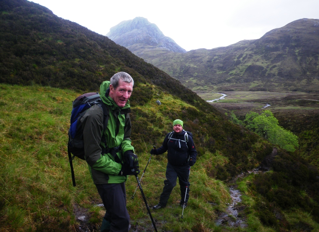
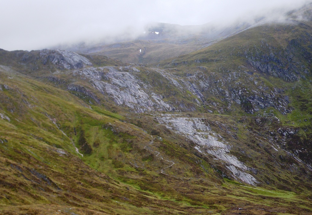
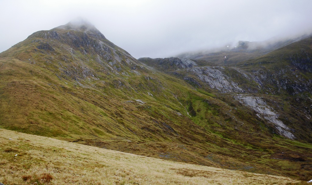
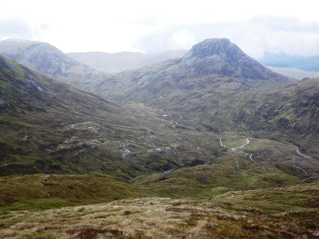
Sunday 26th May — Meall Cumhann, Glen Nevis
For the second time the planned walk at the head of Loch Arkaig didn’t take place. The weather was pretty poor and the thought of the long drive to the head of the loch did not appeal.
Being determined to get out, it was decided to keep the walk local and walk up Meall Cumhann in Glen Nevis.
From the car park at the end of the glen, Alan, Andrew and Jane headed along the well made path, dodging dripping trees before branching off onto the old path heading towards Steall Falls. With the significant rainfall so many small streams that run down into the gorge looked spectacular with the odd tricky crossing. As we traced the path round into the glen, Steall Falls came fully into view and looked impressive.
Leaving the path before it headed off to the wire bridge we steadily made our way NE through a number of craggy outcrops towards the summit. The weather was unrelenting and a hasty refreshment break sheltering behind a rock didn’t afford much respite from the wind and rain.
The low cloud and lack of GPS didn’t help us clearly identify the actual summit so we made sure we did every bump. Keen to get off the hill we made a steady descent SE back towards the car park. Looking back up the glen and the looming west face of the hill there was a great opportunity for a photo. Sadly the battery on the mobile phone died and chance for a decent picture was lost.
At the car park we had left the wind behind but it was still raining so a quick change out of the wet gear and a well-deserved hot drink at the Glen Nevis restaurant.
Jane

Saturday 18th May — Sgurr nan Gillean, Skye
We stopped at the Cafe and Bakehouse by Eilean Donan castle, Trl had mentioned the place might be serving fresh cinnamon buns and as I walked in I was greeted by the smell of cinnamon and the sight of two large boxes of buns behind the counter, there was no question about buying one, they were incredibly good, warm, gooey and sweet. This was a great start.
Back in the car a message revealed the others unfortunately weren’t going to join us, but rechecking the forecast didn’t put us off, so we continued on to Skye with our fingers crossed.
Our hopes rose as we approached the mountains, we parked up and set off about 11am from Sligachan, it was dry with glimpses of the tops and the stark jutting out Bhasteir Tooth on the skyline.
Gaining the main ridge south-east of Sgurr nan Gillean we were treated to some awesome views, from the sound of waterfalls from the Lota Corrie below our feet, to the main ridge across the skyline black and ominous. Here Gavin traced out his planned, bold route, for the day: after Sgurr nan Gillean we could retrace our steps - avoiding the descent of the hair-raising west ridge - and head south, drop right down into Lota Corrie then all the way back up to Bealach a’ Bhasteir, climb Bhasteir and back, skirt below Bhasteir and upto Bruach na Frithe before descending back to the car. I was a newcomer to this bold plan having only signed up for Sgurr nan Gillean, but the others had kindly offered to let me tag along with them, though I was aware I was probably letting myself in for something interesting.
On our right Sgurr nan Gillean was in the clouds, we set off up the exposed ridge reaching the crux of our route about two-thirds up, on the left-side of the ridge a couple of moves went up to a protruding rock and an interesting step below and around onto an exposed slab, Trl lead the way and we all passed it eventually. Finally at the top the summit cairn had to be reached by an airy traverse - of course the cairn was on the further point from us - the clouds had cleared by now and we gingerly clambered across to the cairn, then we could finally stop and enjoy the stunning 360 degree panorama.
Coming down was slower, though we were retracing our steps we reached the crux and looked at various alternatives before committing to it, again Trl lead but it wasn’t too bad with some good bum-shuffling moves.
At the bottom we set off straight-away following Gavin on our planned route, by-passing below Sgurr Beag we stopped for a snack, then he picked a descent point off the ridge into the little visited Lota Corrie, descending 150m via an initially shallow gully we arrived by a huge boulder resting on a large grassy terrace, stopping to listen momentarily we could hear the distant tumbling river and nothing else, it was a great feeling of solitude in the grand arena of mountains. We continued traversing staying as high-up as possible Gavin really seemed to be following his nose as we ascended a narrow grassy ledge, angling back up we were soon onto steep scree and eventually to the base of a rock wall below the bealach, following a line up the middle it made an interesting obstacle, but it wasn’t too high to feel really exposed and made a nice end to the whole adventure. It was tiring but a great experience in getting away from the trodden path, especially compared to the ever popular main ridge.
At this point a call of nature meant I had to leave Trl and Gavin to summit Bhasteir, but about an hour later I rejoined them descending and we continued to Bruach na Frithe. Fatigue was setting in by now and also the clouds, we summited the last Munro and then started gratefully down into Fionn Choire, the way was steep and very loose, Gavin advised lots of care to be taken and to move close together to avoid knocking a rock on each other, this was good advice (and preparation for tomorrow!), as the slope eased and we moved faster Trl took a tumble and cut a finger, so we paused for first aid and took a moment for her to catch her breath. Carrying on we were soon on easy grassy slopes and a long long descent back to the hotel arriving at 8.30pm.
Jan
Trl and I left Jan at the Bealach a’ Bhasteir. We headed up the ridge to the point where we were looking down above the Bad Step. There was no way that we would manage this on our own. So from here we turned back a short way and found a way by ledges on the left down to the gully below the col beyond the Bad Step. From here it was straightforward to get back onto the ridge and up to the summit. We passed three climbers who had no trouble doing the Bad Step. These were the only people we met all day although we saw many others in the distance. On returning to col before the Bad Step we turned right down the gully a short distance before following ledges that led back to the ridge much further on. We descended to the bealach were Jan was waiting for us.
This route is not mentioned in many guide books, but makes it possible to get up Am Basteir without a Very Difficult climb, just a grade 2 scramble. It is described in the SMC Skye Scrambles book by Noel Williams: route 65a.
Gavin
To read the full story about this trip go to the member’s page.Photos from Jan:

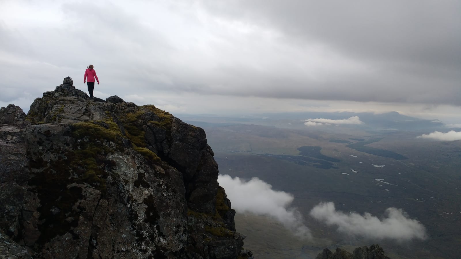
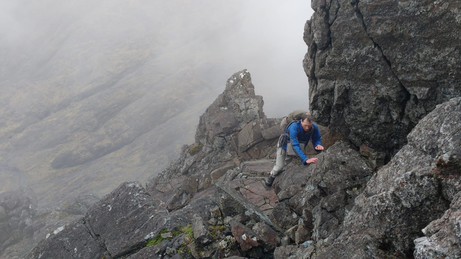
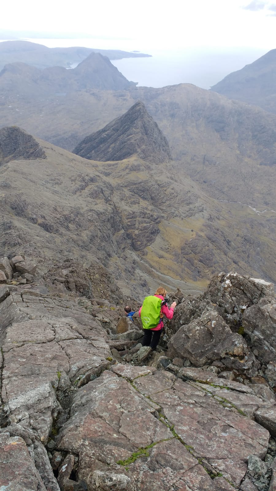
Saturday 18th May — Not Sgurr nan Gillean: Beinn Odhar Mhor
Eight members turned out for the programmed trip to Skye - three with the intention of staying on for a couple of days to try out their expedition equipment. Sadly after several days of hot sunny weather the day dawned wet with a forecast of rain moving west to all areas. Plus the midges had arrived in force. Fort William was already wet but the intrepid 3 left for Skye anyway leaving the wimps discussing their options. Since we were going to get wet we decided to get wet nearer home and headed west towards Glenfinnan. Beinn Odhar Mhor and Beinn Odhar Bheag were our targets. The light rain fell continuously and we hit the mist at about 750m. View from the summit zero. A quick bite sheltered from the cold wind. Where was yesterday’s hot sunshine? We forgot about the second peak and descended back into clearer air. The bogs were quickly becoming bogs again and the rain continued. The midges were waiting for us back at the car. Coffee was had at the hotel in front of a welcoming roaring fire (this is May).
Sgurr nan Gillean was conquered by the other 3 with good views apparently. C’est la vie!
At least for once we were home before 1600hrs.
Gerry
Sunday 12th May — Stob an Cul Choire and Aonach Mor
The weather forecast was excellent; sunny, cool breeze but not as cold as the preceeding week on the Ullapool expedition. Excellent visibility. 5 members, Andrew, Jane, Craig, Jeannie and Angela plus 2 guests Jan and Malcolm met at the Woollen Mill for 0800 and car shared for the short journey to the Ski Centre at Nevis Range. We couldn’t get into the free car park. Due to a big biking event, it was fully occupied by camping bikers and their supporters. We paid £3 for each of the 2 cars. Not a big deal really for a whole day. Setting off we made brisk progress for several kilometres along the level forest tracks to the start of the hydro track at NN2059676977. The gradient was now steep but the track now goes only to the turbine house. At our previous visit in November 2016, the track went all the way to the dam. We were disappointed not to have an easy path up, but pleased that the scheme engineers had fulfilled their contract to re-instate the landscape on completion. Such a good job had been done that the track’s route was not entirely obvious. As well as greening over, the original profile of the hillside had been faithfully restored.
Not far from the dam, at NN2073475910, we headed directly up the fall-line to reach the crest of the spur of Tom na Sroine. Here we had a break for 11’s. The views had opened up and the ground was rockier and well drained. We made swift progress upwards. Keeping to the edge of the escarpment to the left revealed the impressive cliffs dropping into the huge Coire an Eoin and the ridges above the Grey Corries beyond. As our ridge climbed higher and curved W to the first summit, the splendid rocky enclosure of An Cul Choire came into view, jammed between Aonach Beag and Aonach Mor. We had lunch here in a sheltered sunny spot near the summit of Stob an Cul Choire. Everyone was keen to continue up to the summit of Aonach Mor, some 220m higher up by a steep narrow ridge. Halfway up the way is obtructed by a prominent rocky dyke. It can be passed on either side. Today it was a choice between steep wet grass and steep wet snow. We chose the former, which proved less worrisome than expected and in due course we gained the summit plateau of Aonach Mor.
It was still winter up here but the strong sun reflected off the snowfield quickly brought out the sunscreen and sunglasses. We continued to follow the route in the programme, walking along the edge of the plateau with views into Coire Choille-rais. As the rim of the escarpment narrowed to a ridge the ground dipped. Although very steep in places it was easy to negotiate with care. We found it possible to curve down E somewhat earlier than described in the programme and reached the burn in upper Coire Choille-rais just above the dam. We crossed the burn without difficulty and descended into the lower corrie to rejoin our outward route on the re-landscaped former hydro track.
Andrew
Photos from Angela:
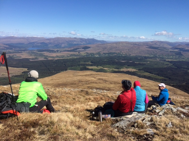

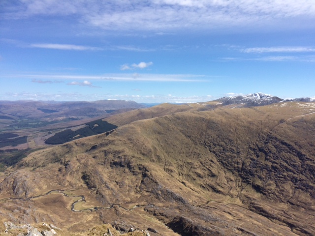
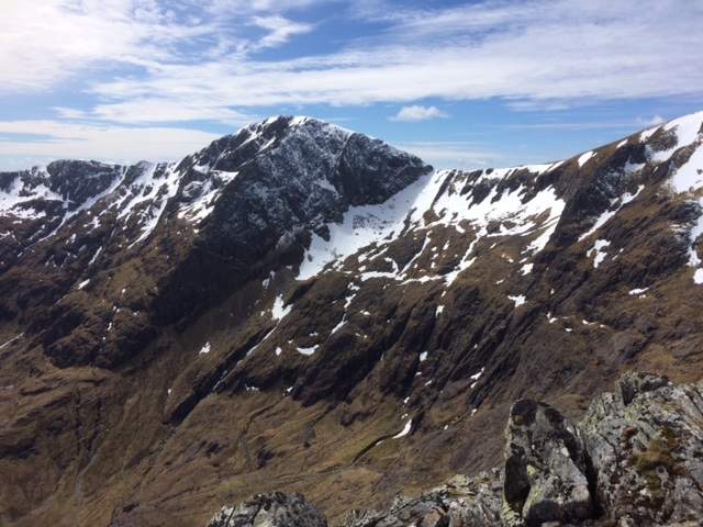


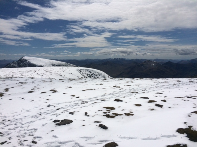

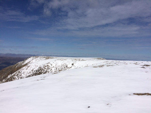
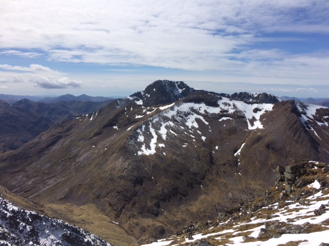

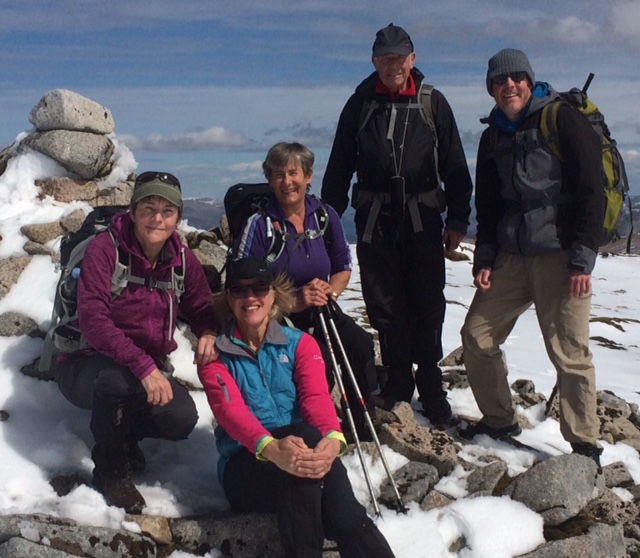
Saturday 4th — Saturday 11th May — Ullapool Week
A very enjoyable week despite the freezing cold weather. The showers of hail and snow did not deter the participants and many hills were ticked off. The air was clear and from the many vantage points visited, the views of the northern mountains were stunning . It’s a magical place. The ground was incredibly dry (it hadn’t rained for ages) and it was a pleasure to walk on crunchy bog!
Gerry
Saturday 4th — Little Wyvis and Ben Wyvis
Alan and I ascended Little Wyvis and Ben Wyvis together. The hills were snow covered and were bitterly cold. We ascended Little Wyvis from NH403639. We then descended to NH451654 where there was an unexpected feature only shown on the Explorer maps: the river at this point is diverted S by a late. From here we headed up directly to An Cabar. We were out of the wind until we arrived at the top where the wind was bitterly cold. We continued up to the top of Ben Wyvis, on the way passing Trl and Jane who were already heading down. The views from the summit were extensive. Alan and I headed ESE across to the ex Munro Top of An t-Socach before returning to the summit and back to An Cabar and then down the W ridge down to the car park where Jane was having a nap in the car while waiting for us.
Gavin
Sunday 5th — Seana Bhraigh
For our first full day in Ullapool a group of four club members Alan, Gavin, Jane and Trl based at the cottage in Letters undertook the outlying Munro Seana Bhraigh.
With a 27 kilometre walk and 1100 metres of ascent ahead of us this promised to be a hard first day.
Starting from the Inverlael Forest car park alongside the A835 we made our way along the forest tracks passing the shieling at Glensguaib before branching off along the obvious stalkers path on a steady ascent.
We had early indications that the weather was not going to be on our side but never the less we forged ahead.
An arduous slog, slowly gaining height we crossed the Allt Gleann a’ Mhadaidh, luckily an easy crossing and made our way past a number of small lochans before climbing above the amazing cliffs of Cadha Dearg.
At this time the weather started to deteriorate with the wind picking up and sadly we were not afforded the stunning views down the cliffs, fleeting glimpses only and by the time the camera was out of the rucksack the cloud had obscured the view. At times we thought conditions might improve as we caught the odd sight of An Teallach and Beinn Dearg but this was not to be.
Above the snow line there were significant accumulations which slowed us down. Coupled with a strong biting wind and a considerable wind chill the going was pretty tough. The lack of other walkers on the hill was certainly an indication of the poor conditions. Keeping heads down and following footsteps seemed to be the order of the day. Unfortunately as the picture shows the views were not great and did not allow us to appreciate the stunning views down Luchd Choire.
Gazing down the steep cliffs into the misty, cloudy depths was as far as any of us were prepared to venture.
Certainly worth coming back for on a better day.
The group were pleased to start to head down and with Gavin heading off to complete a couple of smaller hills we made our way to the end of the stalkers path.
Looking back, despite the low grey cloud, the view from Coire an Lochain Sgeirich looked quite benign with no hint of the conditions at the summit. It seemed to be a good time to stop for lunch but as we settled down we were showered by a spell of icy rain (the mountain had not finished with us!!)
A long walk out, meeting up with Gavin towards the end of the forest paths finished off a challenging but rewarding day and a reminder that despite the calendar telling us it is spring, winter still has a sting in her tail!!
Jane

Alan, Jane, Trl and myself started from the Inverlael car park. We followed the path E from Glensguaib up to Coire an Lochain Sgeirich and to its end before cutting across to ascend Seana Bhraigh. The weather here was bitter and we didn’t hang around. There were no views from the summit, but on the way up we had some glimpses into dramatic glens on either side of the mountain. From here we descended WNW and I left the others while I went on to do the minor top of Creag Dhubh. I then headed SW down into the glen where I had a food stop by the river before heading W to the summit of Beinn Bhreac which gave good views. From here I could see that the others had much harder ground than I did as their route took them straight through a band of peat hags on the opposite hillside. I then descended SSW to the path on which I met Chris who was also intent on doing Beinn Bhreac. I descended the path down to the forestry. After waiting for quarter an hour for the others I descended to the forestry track where there is a path that continues down to the bridge near Glensguaib. I returned to the car park where the others arrived quarter of an hour later.
Gavin
Sunday 5th — Am Faochagach
Not a great forecast so a relatively short and straightforward walk to Am Faochagach was chosen by six of us – Clare and Steven, Robert, Willie. Liz and Ken. The first challenge was crossing Abhainn a’ Ghrabainn. Some brave souls crossed on the boulders whilst others used the crocs passed back and forward across the water to wade through – and this was in fairly dry conditions. The walk continued steadily to the summit but the weather deteriorated somewhat with freezing cold blizzard conditions at the top – a useful wake up call to weather conditions we experienced during the rest of the week. Steven identified the precipitation as graupels rather than snow, which was a new term to most of us.
Ken
.jpg)
.jpg)
Monday 6th — Beinn Dearg, Cona’ Mheall, Meall nan Ceapraichean, Eididh nan Clach Geala
Alan, Jane and I headed up Beinn Dearg from car park through forest. By the hydro dam we crossed the river and climbed up onto the ridge that eventually ends at the summit of Beinn Dearg. The initial ascent onto the ridge is covered in heather but at once on the ridge at approx 400m the heather is less and it becomes easier to walk. A short climb up Meall Breac where a very long stone wall goes along the ridge and would be a good guide in low visibility. Followed the wall almost to where it turns N and we headed S up to the summit approx 200m. Unfortunately it was misty so no views.
From here we headed back to the wall and down a very steep descent to the bealach and a lochan. The descent was helped by the amount of snow along the wall. A bit of a scramble over a small hill to reach the climb up Cona’ Mheall. No views here either, it was snowing so we headed down the rocky hillside and over the awkward hill to the bealach and lochan. The two next hills were rather tame climbs in comparison to the walk so far and snow on the ground certainly made descents quicker and more fun. The weather cleared and lovely sunshine on the last two summits gave views of the impressive cliffs running along the ridge we had walked earlier. The final descent off the hill to reach the path along the glen was steady but a long walk out.
Trl
Trl dropped me at Braemore junction. I then ascended Meall Doire Faid and then Beinn Enaiglair and then over the minor top of Iorguill to the wall along the edge of the crags above Glen na Sguaib. Until now the weather was glorious. I sheltered here sitting in the sun but steadily froze while waiting for Alan, Jane and Trl to appear. They had come up from Inverlael. We then followed the well built wall up nearly to the summit of Beinn Dearg. No view unfortunately. We descended NNE back to the wall and followed it down to the col. Beside the wall were deep snow drifts that helped a fast descent. We then went up Cona Meall before returning to the col. Again no view, but now the weather cleared and we had more beautiful sunshine to the end of the day. We headed over Meall nan Ceapraichean and after Ceann Garbh we had a good bum slide on the way to the col before Eididh nan Clach Geala. On the way we passed close by a very tame but quiet ptarmigan that we nearly missed seeing. From the last summit we headed WSW to a small lochan and then joined the nearby path back to the Inverlael car park. A great day!
Gavin
Sunday 5th — Cul Beag
Photos from Andrew:

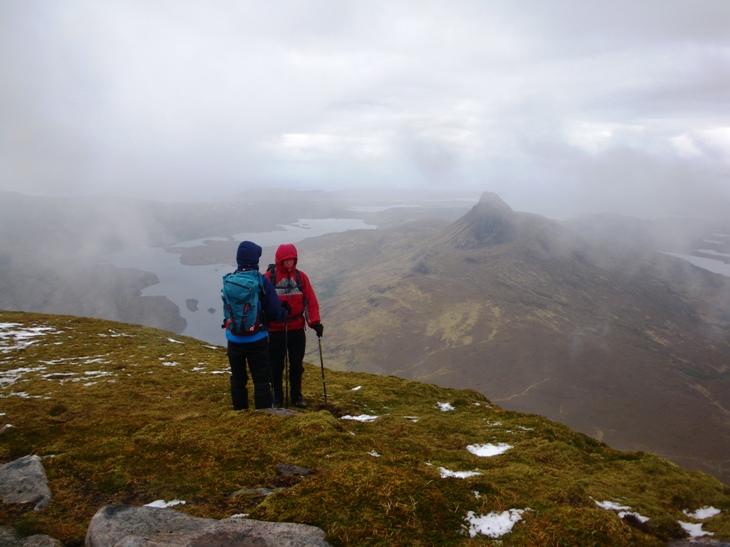
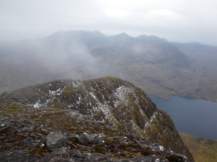
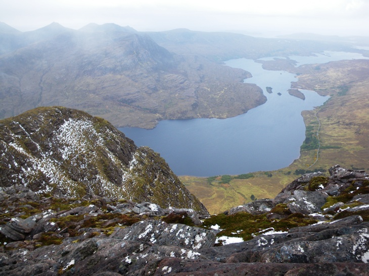
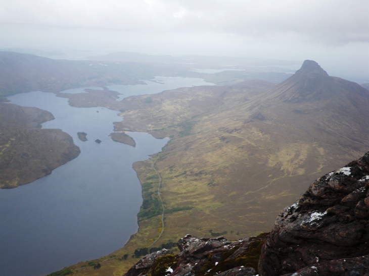
Monday 6th — An Teallach
With a good forecast Willie, Liz and Ken decided to tackle An Teallach – the hill I was most keen to do in this area. The walk up from Dundonnell started in glorious sunshine and we were soon in shirt sleeves. However, a short while later we stopped for a drink and saw the clouds rolling in and, as we packed up the wind increased, the snow started and the temperature dropped like a stone. It was a case of getting jumpers and coats on as quickly as possible. The snow (snow not graupels this time) continued to about the summit of Sron a’ Choire and then the sun came out again. There was about 4 to 6 inches of snow underfoot but it was soft and dry and hence not slippy. Willie broke trail up to Bidein a’ Ghlas Thuill where we were rewarded with spectacular views of the ridge and the pinnacles looking glorious with a coating of snow and the sun shining. We continued on to Sgurr Fiona but decided not to attempt completing the round as there being so much snow around. With contouring round to miss out the summit of Bidein a’ Ghlas Thuill on the way back, the return was quite straightforward. This was a spectacular day.
Ken
.jpg)
.jpg)
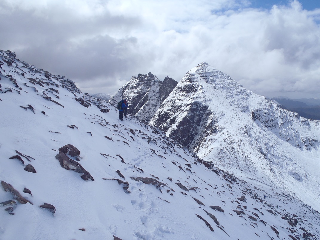
.jpg)
Monday 6th — Canisp
I had a great day with Cris on this hill, first time up there for me. Like a lot of the hills in the area it stands alone soaring out of the bedrock. The route crosses a small river which we hardly noticed, then up to a lochan and a steep pull to the summit. Three summit shelter cairns – take your pick. We sat outside in the sun and out of the wind to admire iconic Suilven a few miles away. It’s eastern peak still on my “to do” list. Eventually we headed down the ridge, the going requiring more effort as the grass and heather got longer. We were soon back at the car but too late for the local cafes which all seem to close at 1600hrs. We were lucky and had a mainly dry day.
Gerry
Monday 6th — Ben More Assynt and Conival
Andrew, Kate and I had chosen to try climbing Ben More Assynt on Monday the 6th of May. The tops of the higher hills on view from Ullapool were covered in with snow. The fast moving, northerly, weather system during the night had left its mark. There were no real signs of the wintery conditions at Inchnadamph. It was positively spring like as we walked up Gleann Dubh beside the stream with a cuckoo calling and spring flowers everywhere. The sun rising in the sky had a real warmth to it. There were few signs of the wintery conditions we were to encounter just ahead.
As we started to head north up the steeper ground onto Conival the sun was soon obscured by heavily laden clouds and the temperature cooled rapidly. Kate caught a fleeting glimpse of an uncommon bird found in this part of the world in the summer months called a ring ouzel By the time we reach the headwall on the higher flanks of the mountain it was snowing. For a while conditions on the hill were becoming decidedly wintery. As we continued up to the summit of Conival breaks developed in the cloud and parts of our spectacular surroundings began to appear. The ridge leading across to Ben More Assynt and beyond looked decidedly challenging in its plastering of snow. We found a sheltered location for a lunch stop just after reaching the summit of Conival and savoured the views as threatening clouds rapidly moved across the sky. Just as we were leaving the lunch spot, a young collie dog met us wagging it tail while carrying a stick in her mouth. She was soon joined by her owners.
The walk along the ridge to Ben More Assynt was sensational. It was hard to believe it was May as we scrambled up and down along the snow covered rocks with wintery sky's threatening to plaster the hill with more snow at any minute. As we made our way up to the summits of Ben More Assynt the sun came out and the magical beauty of our surroundings made all of us become rather euphoric. So much so we thought we could continue on the south ridge leading us further out into this exceptional area of wilderness but further away from where we had left the car. Kate brought us to our senses by asking what time is it. It was almost 3pm. We returned partway back along the ridge the way we came then dropped down steeply into Garbh Choire.
The route out of the Garbh Choire took us round the southern flanks of Conival and through the unlikely gorge of Breabag Tarsuinn and back into Gleann Dubh. Throughout the later part of the day the weather remained bright and sunny. The low sunlight of the evening picked out the extraordinary numbers of red deer on the flats of the upper part of Gleann Dubh. By the time we made it back to the car at Inchnadamph we were all very weary It had definitely been one of the best winter days of the season!
Rick
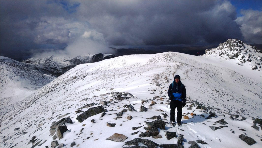

Photos from Andrew:
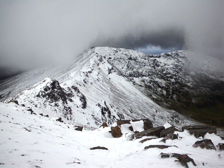
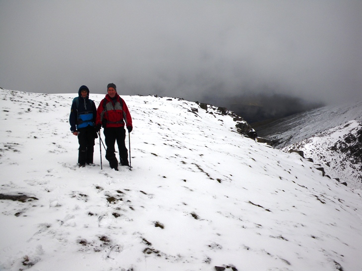


Tuesday 7th — Ben Mor Coigach
The following day really felt like summer had arrived. There were six of us on the walk on the hill of our choice Ben Mor Coigach. Andrew and Gerry, Alan, Peter, Jane, and Rick. The drive round to access the Coigach Hills from Ullapool although long is not really any hardship as there is such a stunning landscape to feast your eyes on all the way to Achiltibuie and on to Culnacraig at the start of the walk. The sun was already high in the sky as we made our way up the steep hillside heading towards Garbh Choireachan and its exposed sandstone cliffs. Once we had found a way up through the maze of rocky ledges and intimidating cliffs, we all enjoyed two km of scrambling along the exciting ridge which forms the crest of Ben More Coigach. I have seldom enjoyed being in the hills more than on that ridge in bright, warm sunshine on this spring day. The icing on the cake for me was when at one point Alan said "there is a strange black and white bird, what is it?" There right in front of us, a male and a female ring ouzel just where they were meant to be among the rocky boulders of the hill side.
We continued in an easterly direction to the outlying hill called Speicein Coinnich. From it we were rewarded with exceptional views as we looked back to the ridge of Ben Mor Coigach. From Speicein Coinnich we retraced our steps for a while before heading northwest to Sgurr an Fhidhleir. On the summit we enjoyed afternoon tea in warm sunshine. Those sufficiently brave looked down over the impressive steep cliffs, down to Lochan Tuath below. While we were on the summit a lively couple joined us. It soon became clear the lady was from Paris. Another unsuspecting French lady for Andrew to try out his French on.
From Sgurr an Fhidhleir we continued on northwards along the cliff edge and made our way to spot height 648m and then southwest along the broad ridge to Beinn nan Caorach. From here we made the long gentle descent back to the cars parked below. It was late in the afternoon by the time we were down at the cars. The sky and the sea were stunning shades of blue as we drove along the coast in search of a cup of coffee. Fortunately the Hotel at Achiltibuie was open. Even better there was a Italian barman who made quick work of serving us all the best coffee we had had in ages.
What a difference a day makes. It is hard to believe that this time yesterday we had been returning from a winters day on the hills just a few miles away.
Rick

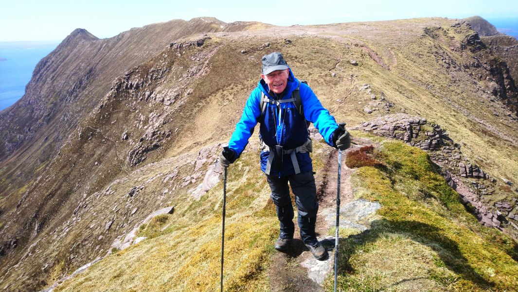

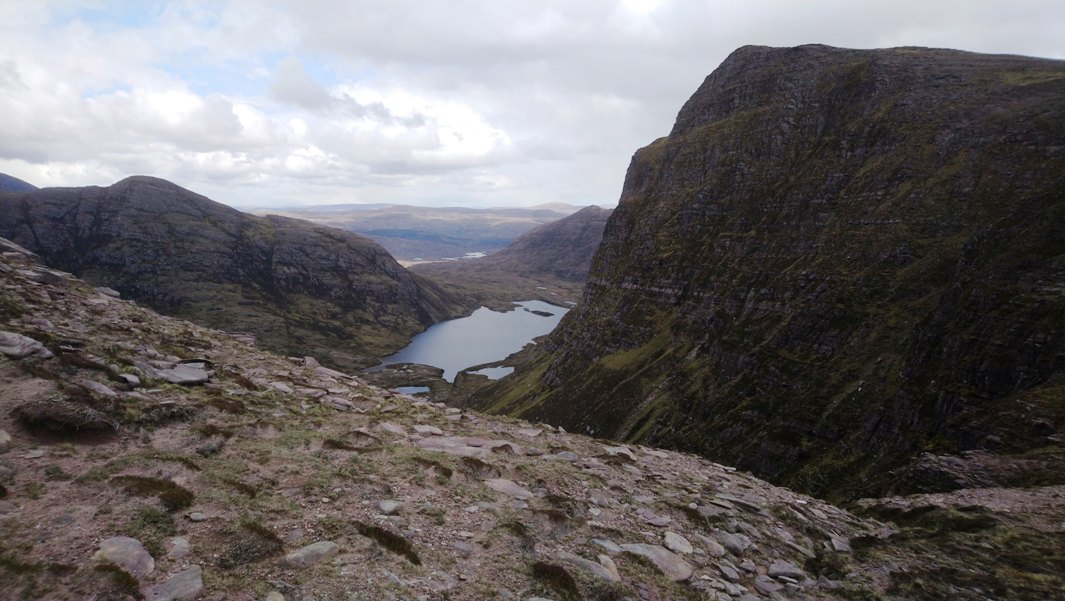
Photos from Andrew:


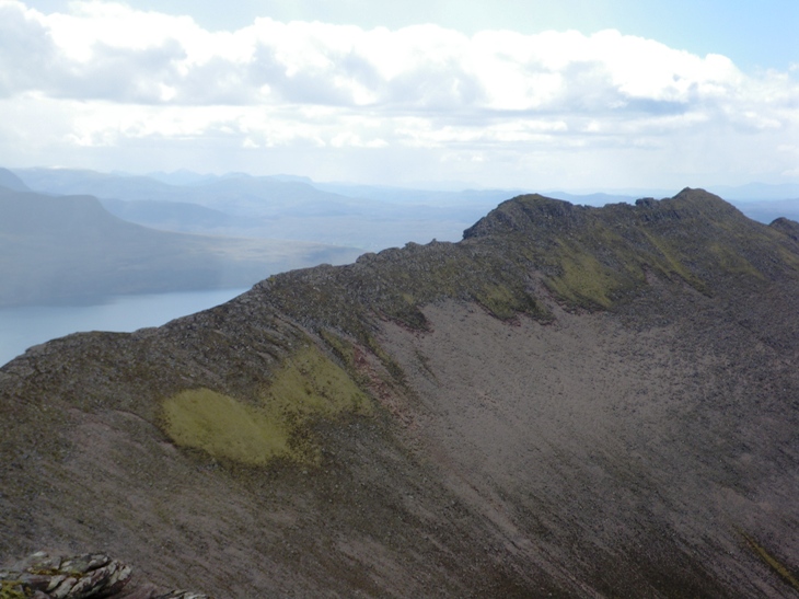
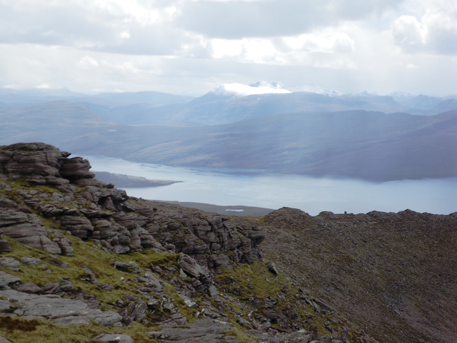
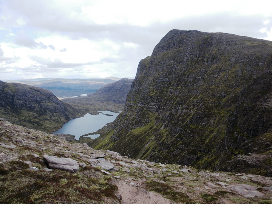
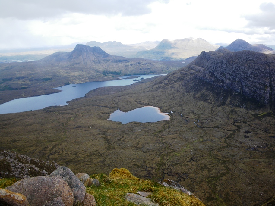

Tuesday 7th — Beinn Ghobhlach
Others were wanting a shorter day so this gave me the opportunity to do Beinn Ghobhlach which I was keen to do while in the area. I started from the cottage at Letters at 8:30 and walked NNE along the road to its end. The weather was good and stayed good all day. From here there is a very bad boggy rough path that occasionally disappears going and goes along the coast to the houses at the foot of a track coming down the hillside opposite Ullapool. From here I continued along the coast for a couple more miles. Now there was no path at all. At one point I found a beautiful little gorge that came down to the sea. It wasn’t marked on the map. It was wooded with Scots pine, birch and other trees. I surprised a large hind that disappeared into the gorge. Flitting around over the water in the gorge I was surprised to see a bat at midday. I would have liked to have had more time to explore further. After the gorge I headed more up the hillside before joining the NE ridge of Beinn Ghobhlach. There were 50m stretches of clean rock slabs on the way up. The summit views were fantastic looking across to An Teallach and Ben Mor Coigach. I waved to the others on Ben Mor Coigach, but nobody waved back.
It was now at least 12:30 and I now started on the return journey. This took me over a serious of smaller hills: Cnoc a’ Bhaid-rallaich (544m), Beinn nam Ban (580m), Carnan Ban (476m) and Cnoc an Droighinn (406m). At around 5:00 I was less than one mile from the cottage and was looking down on it, but I still had some way to go. I now went over Meall a’ Chairn (510m) and descended a river to a beautiful spot at NH151839. The river was in a gully that met a larger gully at a crossroads of three rivers. The river I had followed had carved a channel and cave and ended at a water fall. Further up in the crags was at least one small natural arch left by the earlier course of the stream before the river bed sunk to its present level. There was a pool of water surrounded by green turf left by the old course of the stream.
From here I now ascended Carn a’ Bhiorain (508m) and Meall Glac Tigh-fail (521m). The map fails to show a line of crags across this hill. Finally I went on to Carn Breac Mor (510m). I then descended NE to a path marked on the map. Unfortunately it didn’t initially appear on the ground, but as I descended appeared as a good track that led downhill back to the road at Auchlunachan. I was grateful to Rick who picked me up and saved me the last 2½ miles of road back to be cottage. It was now about 8:30, and I had walked 44km and 2200m of ascent: I was exhausted!
Gavin
Wednesday 8th — Sgurr Mor
The forecast was not great, but not really too bad so Liz and Ken set off to tackle some or all of the Beinn Liath Mhor Fannaich/Sgurr Mor round. However, the weather turned out to be much worse than expected with cloud, very cold wind and continuous snow all day. The route to Beinn Liath Mhor Fannaich was fairly straightforward but we then had to use all of our navigational experience, closely following bearings and counting steps to keep on route to Sgurr Mor. On the descent we reached hard packed steeply sloping snow and decided it was time to turn round and head back. (Doing these hills again in clear conditions on the Friday we now realise we were just slightly below the ridge we were aiming for and seeing the snow conditions we made a very wise decision to retreat). Navigating back also proved a challenge with the snow now blowing straight into our eyes but we made it OK. This was one of those very memorable days – we didn’t see anything of course but it was quite an experience.
Ken
.jpg)
.jpg)
Wednesday 8th — Sgurr nan Clach Geala
Graham, Robert, Willie and I started from NH162761 and walked in to do Meall a’ Chrasgaidh. We were now back into full winter conditions: our ascent to the top was head on to a blizzard, which was not pleasant. Graham decided to turn back and Robert went with him. Willie and I continued to Sgurr nan Clach Geala. Surprisingly we sat at the top without a view but with very little wind in spite of the lack of shelter. As soon as we started to descend we were back in the bad weather again. We continued over Sgurr nan Each before descending to the col (550m) and the footpath back to our start point. Graham and Robert had hitched back to Ullapool.
Gavin
Wednesday 8th — Quinag
Photo from Andrew:
Thursday 9th — Lochinver to Achmelvich
This was a day off from the hills, heading for the coast and the best of the sunshine. We followed a track which goes from the outskirts of Lochinver past Loch Roe and over to Achmelvich beach. A trip of about 6 kms each way. The high point of the track gives good views over Lochinver then drops to cross the upper reaches of Loch Roe before meeting the road into Achmelvich. The beach here is well known for its lovely sands and clear turquoise sea. We sat on the rocks and watched some children playing as we ate our lunches. They had a great time getting wet in the waves until parents intervened! A short walk across the bay to find a “castle” perched on a rock and made of concrete. It was apparently built by a student architect some time ago and is just big enough to get inside where there is a stone bed. Back in Lochinver we had coffee at the famous Pie Shop. Dry and sunny all day with dark threatening skies all around.
Gerry
Thursday 9th — Stac Pollaidh
Liz had had to go home so Ken joined Andrew and Rick on a visit to Stac Pollaidh. Wow what a change, warm sunshine, no lying snow and out with the tourists and day trippers. It is of course a great hill and we followed the circular path round to the ridge then had some fun scrambling along and over the pinnacles. Rick lead up the final challenging scramble and Andrew and Ken followed – so we all made it to the top.
Ken
.jpg)
.jpg)
Photos from Andrew:
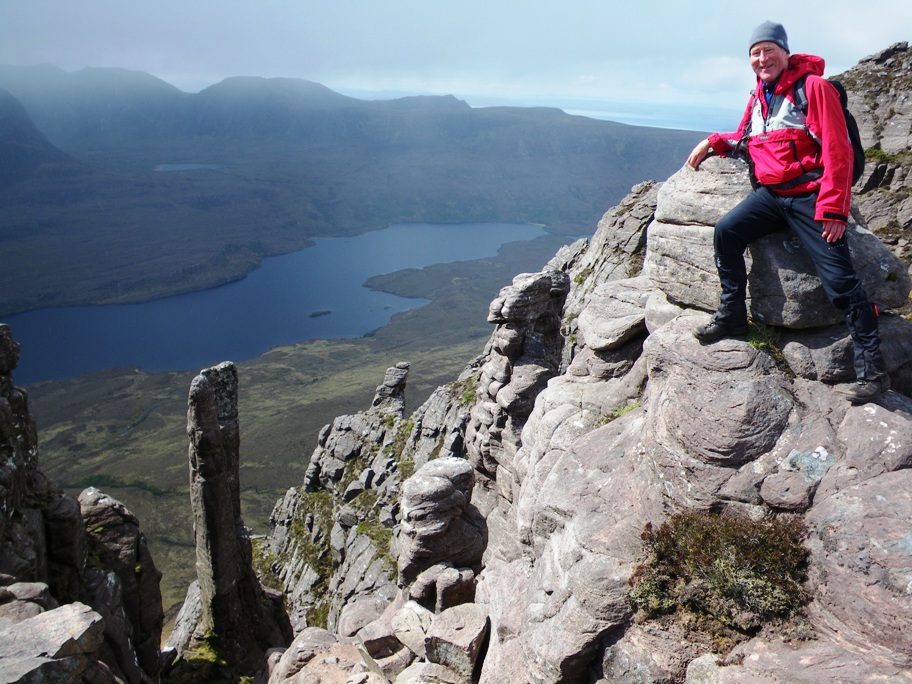


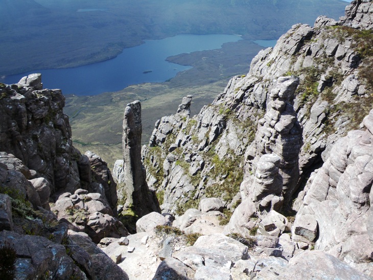

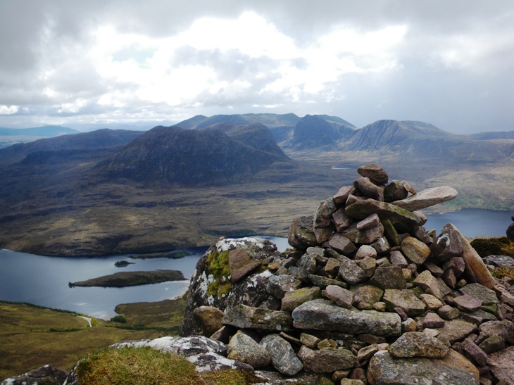
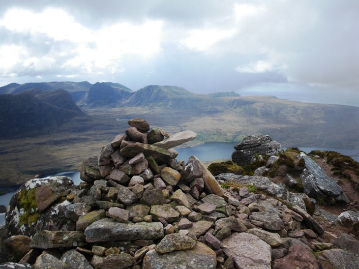

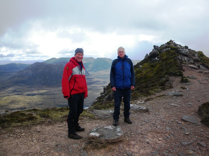
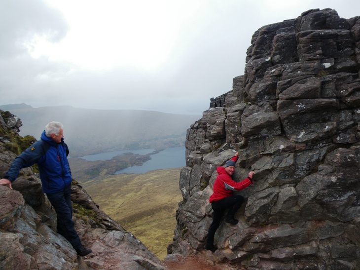
Thursday 9th — A’ Chailleach and Sgurr Breac
Alan, Jane and I parked at the same point as the previous day and ascended by Leitrim Fhearna and Druim Reidh to Toman Coinnich. The weather was considerably better than the previous day and we walked in sunshine over the tops. We now ascended A’ Chailleach and returned to skirt round Toman Coinnich to do Sgurr Breac. We descended E and then SE back to the same col as yesterday and followed the path back to our start point.
Gavin
Friday 10th — Sgurr Mor Round
Alan, Jane, Ken, Willie and I started from near Loch Glascarnoch. I ascended on my own over Meall Daimh (532m) to the summit of Beinn Liath Mhor a’ Ghuibhais Li. I then descended WSW and went across the moors to meet the others ascending Meallan Buidhe. We ascended An Coileachan. The weather was good and it was even quite warm on the summits. We now followed the ridge over Meall Gorm to Sgurr Mor where we sat for lunch before turning back to follow the NE ridge to Beinn Liath Mhor Fannaich. I now left the others and headed N down to Coir a’ Mhadaidh. I now ascended the unnamed S top of Creag Dubh (537m) before turning E over the summit of Meall Breac (532m). The rocky ENE ridge led back to the road. The third car that passed stopped and took me directly back to the cottage. Amazingly, the driver knew Cris as they were from the same club in Perth.
Gavin
Having not completed the full round of the Sgurr Mor hills on Wednesday, I decided to join Gavin, Alan, Willie and Jane on their outing to these hills. We crossed the dreaded peat hags to the base of An Coileachan and soon reached its summit. Some snow underfoot but already it was melting back considerably compared to earlier in the week. Willie was practicing his navigation skills and keeping close track of bearings and timings. On the ridge from Meall Gorm the splendour of Sgurr Mor towering above the surrounding terrain could be fully appreciated. Gavin and Willie were able to see over to the Sgurr nan Clach Geala trio of hills that they had done in the mist and snow on Wednesday. The strange terraces on the ridge up to Sgurr Mor made for a tiring ascent – for me anyway – but we were rewarded by a great view from the top. Back over Liath Mhor Fannaich (third time in two days for me!) and on down………
Ken
.jpg)
.jpg)
Friday 10th — Beinn an Eoin
Photos from Andrew:
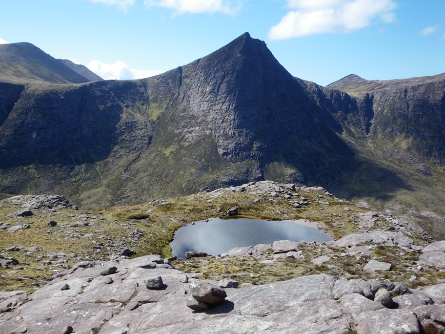
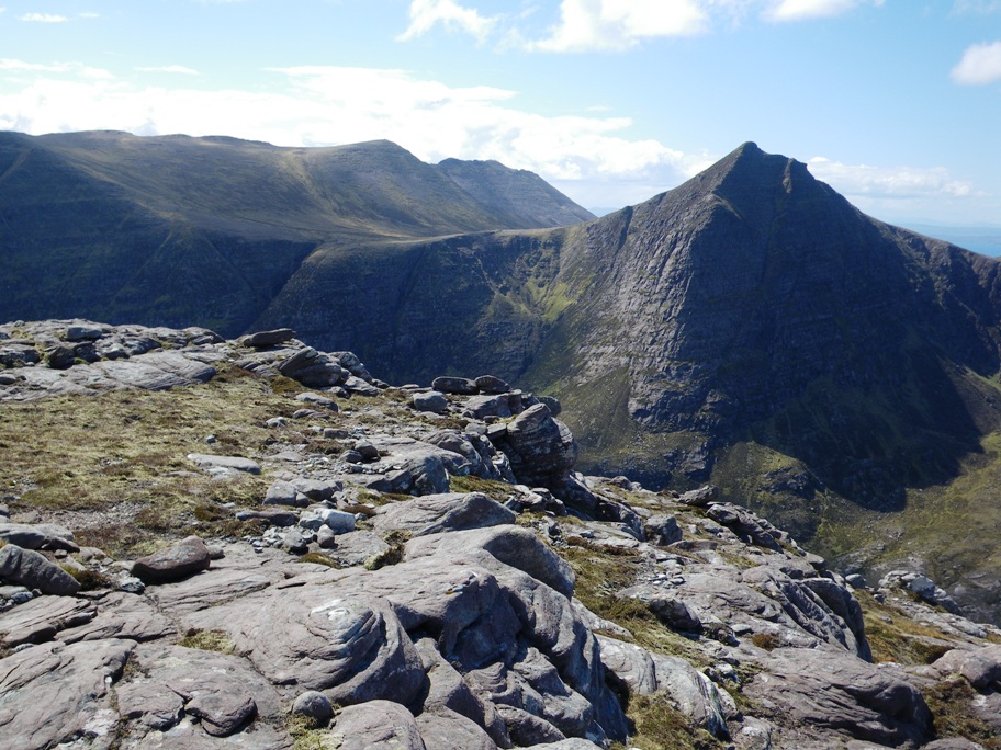
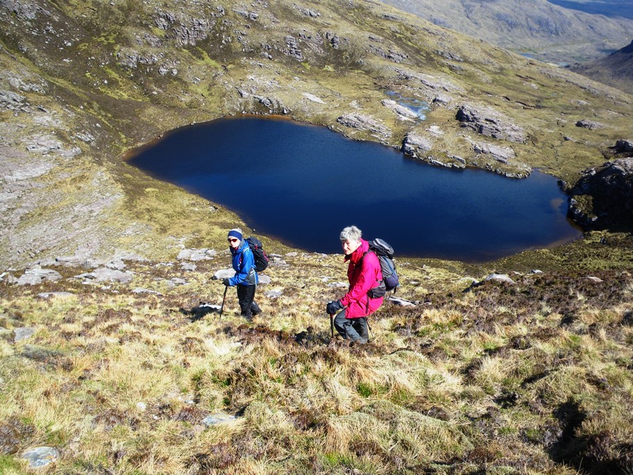


Saturday 11thth — Am Faochagach
The final Munro on the north side of the A835 beckoned and Gavin and Jane were unable to resist. The weather was pretty good, dry and bright with a moderate breeze. Parking close by the Torrandhu bridge they set off across fairly boggy ground before reaching the Abhainn a’ Ghabhrainn, a considerable river crossing. The thought of getting wet feet at the start of the walk didn’t appeal and whilst Gavin crossed relatively easily, Jane tried to find an easier crossing heading closer to Loch a’ Gharbhrainn. Unfortunately no easier crossing point was found and feet got wet. Having slightly deviated from the normal route they headed NE to rejoin the path. Stopping for a brief refreshment break there were excellent views of the Fannaichs, An Teallach and across to Ben Wyvis. Heading up to the bealach above Sròn Liath there was a clear track along the gentle broad ridge giving an easy and quick route. Joined along the way by a couple of Munro baggers from London who had mistaken a smaller hill to the east (Meall Gorm 885m) for the Munro the summit was reached quite easily.
The return journey was a case of retracing steps. True to form, Gavin dashed off to tick off Meall Gorm before re-joining Jane along the track and then heading down the obvious path to the river again – more wet feet but dry footwear in the car so no worries.
Out and back in around 4 hours in good weather so a successful day and an easy albeit slight uninspiring hill.
Jane
Saturday 4th May — An Caisteal and Beinn a’ Chroin
The weather reports for the Saturday were conflicting but seemed to be indicating strong wind, well, some of them anyway. A plan B was agreed to the CIC hut but then Saturday dawned without a puff of wind in Fort William. More debate ended in plan A being resumed and Fiona and Chris set off for An Caisteal and Beinn a’ Chroin.
The cloud base stayed high for us and we enjoyed views to the south with a glimpse of Arran and even the Galloway hills. We took the standard route over first An Caisteal with a small scramble before reaching the actual top. The route down and back up to Beinn a’ Chroin also involved a bit of scrambling some as a result of the hills’ popularity and proximity to Glasgow. Among our fellow walkers were a number of beagles and one that was half beagle and half pug. What Pedro the Pugagle may have lacked in looks he made up for in character. He certainly had not bother doing the circuit of the hills and the return down the Glen to join yet another hydro intake road leading back to the car.
Chris
PS it was a bit windy at the top and we did not linger too long over lunch but manageable just easier if you had four short hairy legs.
Sunday 28th April — Stob Dubh, Glen Etive
Photos from Angela:

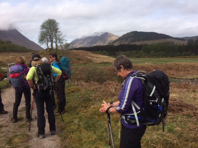
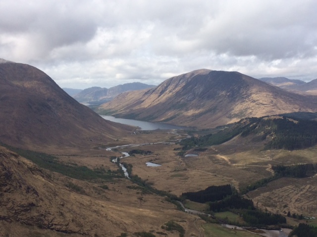
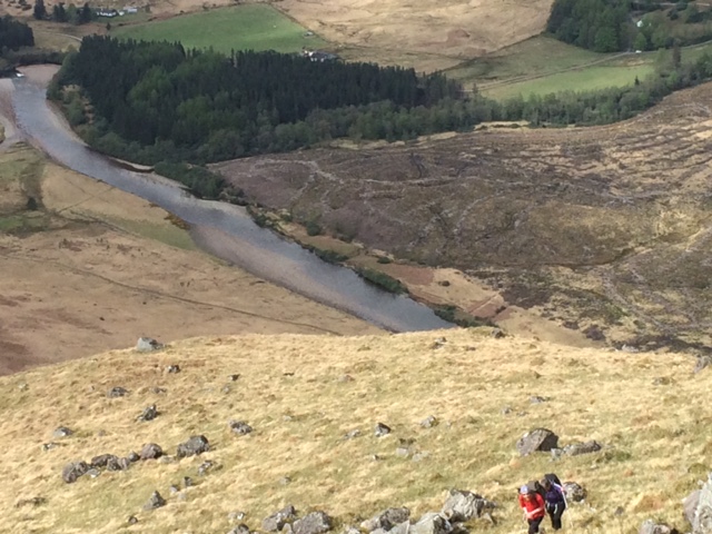
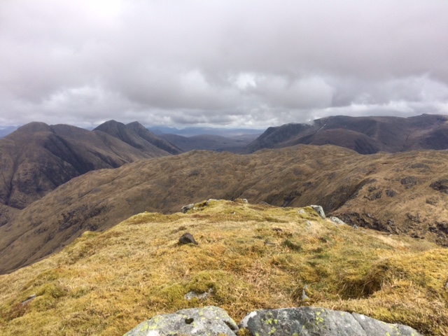
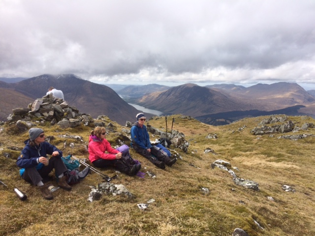
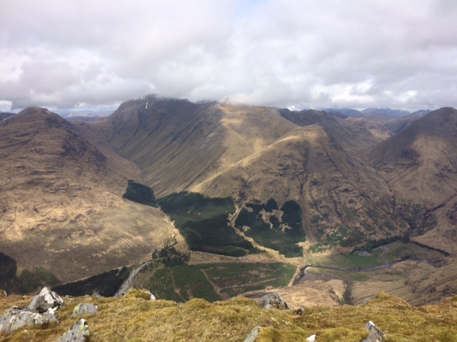
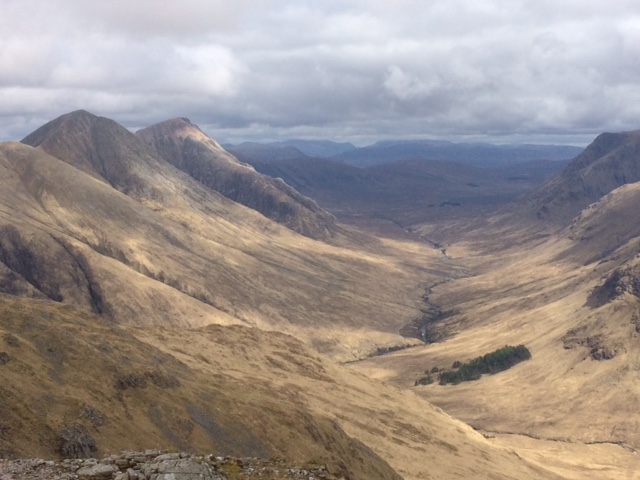
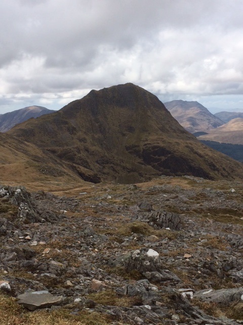
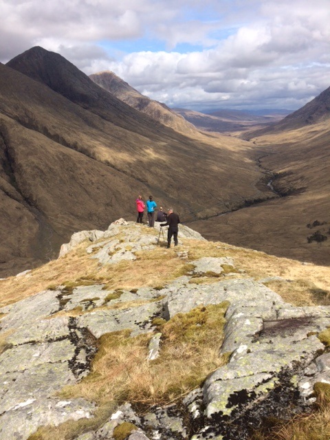


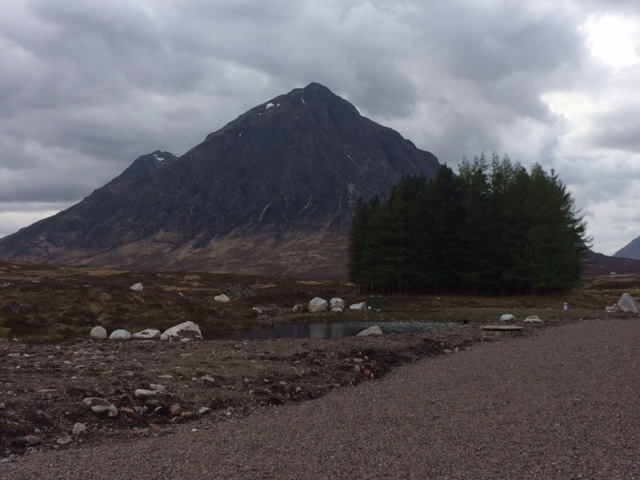
Tuesday 23rd April — The Fara
With the end of the good weather in sight, four of us set out for the Corbett with plans to explore the main feature of The Fara – Dirc Mhor. This is a large defile filled with boulders and flanked by impressive cliffs, totally hidden from the road. It was a new route to Trl and Fiona. Andrew was happy to tackle the gap again but I opted to clamber to the top of the steep ground to the west and follow the rim over to the far end. This was a much easier route and gave impressive views of the cliffs. I was still beaten to the far end by Trl. We all had a short break in a sheltered spot, then out into the wind and up the steep slopes to the summit. Good views all round but it was chilly on the exposed summit so we didn’t linger. The NE ridge gave a pleasant descent and soon led us to the top of a track which we followed down to the river, over a ford and on to rejoin our outgoing track. An early finish with plenty of time for refreshments near Laggan.
Gerry
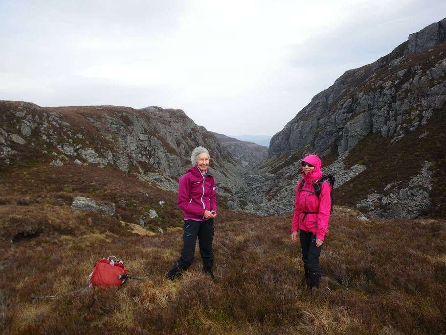
Saturday 20th April — Stob a’ Bhealach an Sgriodain & Sgorr an Tarmachain
There were 5 out: Andrew, Gerry, Trl, Gavin, and Rick. We could have parked near Glenhurich cottage, before the first gate, (or after but at risk of it being locked, at the quarry or near the bridge over the River Hurich). The report for NHW160827, has waypoints for these locations. The approach we took, described in the programme, avoids a potentially difficult river crossing at Mam Beathaig, NM875705, but misses the more interesting, more difficult ascent over the rocky prominence of Meall Daimh and its higher companion S of Bealach Gaoithex. Once above the tree line, following the fence, Gerry decided to omit the Corbett and made directly up to the col E of Meall nan Allt Beithe, 615mex. Gavin, Rick and Trl headed over fences and across Coire an t-Searraich and directly up to Bhealach an Sgriodain. I climbed up to the stile at WP NM8672172350 gaining the ridge and a longer but more interesting route around to the Bealach with good views in all directions meeting up with the other three on the summit of the Corbett. We four then retraced my steps and headed over the 701m summit, turning WSW over many small summits to reach the summit of Sgorr an Tarmachain. Gavin and Trl pulled ahead and were not seen to speak to for the rest of the walk. Andrew and Rick remained together. The long but relatively shallow gradient afforded continuous great views to the W but underfoot the going was increasingly difficult. A gate in the fence descending Maman Odhar appeared sooner than expected, at WP NM7907269455, and gave access to the head of the track down to the CP. The other three, Gavin and Trl having overtaken Gerry on the hill, were waiting there impatiently beside Rick’s locked vehicle, at the mercy of midges, with nothing special to look at or do.
Andrew
Surprisingly for Easter Saturday the Corran ferry was virtually empty as we crossed over to Ardgour at 08:45. We had a clear run along the road to Strontian and still with no traffic on the road we made it to Polloch in no time. We left one car there before heading back up the road to Kinlochan where we started the walk.
As we walked along the never ending track through Glen Hurich, in the rapidly increasing heat of the day, we started to wonder why we hadn't driven the car along the track for at least some of the way. By way of compensation for our endurance we were rewarded by hearing the first cuckoo of the summer. At the end of the track where the forest plantation gave way to open hillside we climbed over a fence and made our way steeply uphill beside the fence. The ground was unusually dry which fortunately made the going considerably easier than it would be in the wet. We disturbed an unusually large lizard at one point that had been basking in the sun.
Leaving the forest below us we climbed diagonally across an open hillside but still beside a fence. While having a short break for a drink and snack high up on the side of the hill we noticed we were being watched by a golden eagle that was soaring up above the ridge. After filling our water bottles at what turned out to be the last stream that we would come across all day, we made our way up to Stob a'Behealach an Sgrioddain. We all chose different routes to reach the summit. Reunited at the top we had a bite to eat before we set off along the ridge in a generally South Westerly direction towards Sgorr an Tarmachain. The weather had become more and more cloudy as the morning progressed and by the time we left the top a few drops of rain had the audacity to fall from the sky.
Not long after leaving the summit we came across the only person we met all day. He had climbed Sgurr Ghiubhsachain on the way, having set off from Loch Shiel. The views from the ridge became more and more splendid as the day progressed, wispy patches of cloud formed in the valleys and the layers of higher cloud changed density, appearing as endless shades of blues and grey. The walk along the ridge was surprisingly enjoyable. The ever changing views of the hills and valleys seemed to be defined more strongly by the light and cloud conditions. The dry ground underfoot made the walking easier than usual and the relatively level nature of the ridge all helped to provide an exceptional experience. We reached Sgorr an Tarmachain in no time.
All that then remained was the long downhill ridge to Polloch which for the most part was equally enjoyable. The walking lower down the ridge became more and more difficult as the rocky dry conditions further up gave way to grassy tussock which became more and more difficult to walk across. We were all pleased to reach the gate into the forestry plantation at the end of the ridge and the relatively easy going zigzag track that led down to where we had left the car at the beginning of the day.
Back in Strontian we were able to acquire a strong cup of coffee at the Ariundle Woodland Centre before driving back to Ardgour where we drove straight onto the ferry just as it was leaving. I had been looking forward to this walk and although a little longer than I prefer it had turned out to be one of those really special adventures and had exceeded all my expectations.
Rick
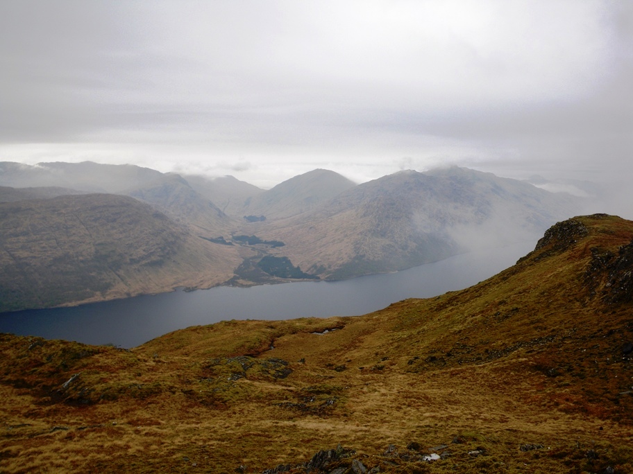

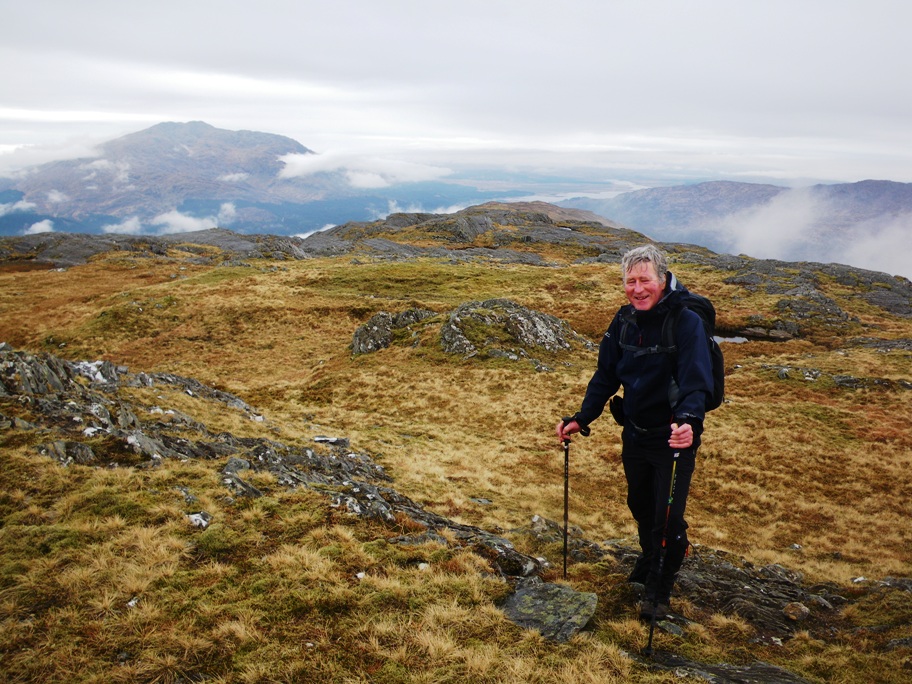
Saturday 14th April — Sgurr Ghiubhsachain and Sgurr Craobh a’ Chaorainn
We parked at the Glenfinnan Monument car park, Jane, Andrew and myself. Only £3 for the whole day so not unreasonable.
Crossed the road then walked the pleasant boardwalk to the track down Loch Shiel. Easy walking for 5 kms, then up the beautiful ridge of Sgurr Ghuibhsachain with its frequent but avoidable rocky scrambling sections.
This was the pattern for the day really – lots of good exposed rock that could be negotiated with care. The descent from the first summit needed especial care in picking a good line, though thankfully this day the going was dry and without snow.
And so we continued round the horseshoe of Coire Ghuibhsachain via the almost dry lochan on the 590m col to the rocky knoll of the summit of Sgorr Craobh a’Chaorainn. This was where the strong wind was most noticeable, luckily blowing us into the rock rather than off it!
It’s interesting to note the Gaelic translation of the names of these two mountains:
Peak of the Fir Wood – Sgurr Ghuibhsachan
Rowantree Peak – Sgorr Craobh a’Chaorainn
We also commented on the lack of wildlife – a very quiet day with scarcely any birdsong. Our count was one lizard, four deer, and two hairy caterpillars!!
The final, steep, potentially difficult, descent from near the top of Sgorr nan Cearc, 668m, worked very well with Andrew’s skill in using previously marked GPS waypoints.
Glad to be on flat track again, the walk out was rewarded by the café at the Glenfinnan Visitor Centre still being open, closing time 7pm at this time of year.
So ended a hard 9 hour day. Thank you, Andrew and Jane for your company.
Fiona
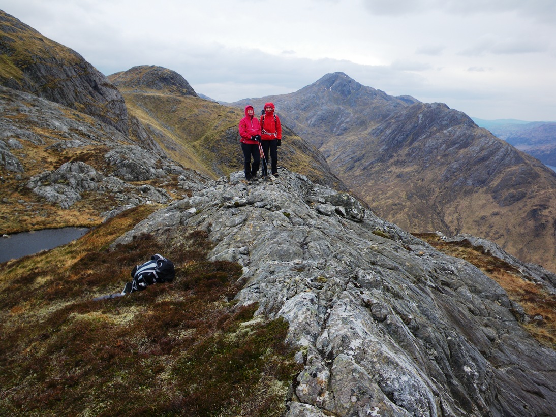
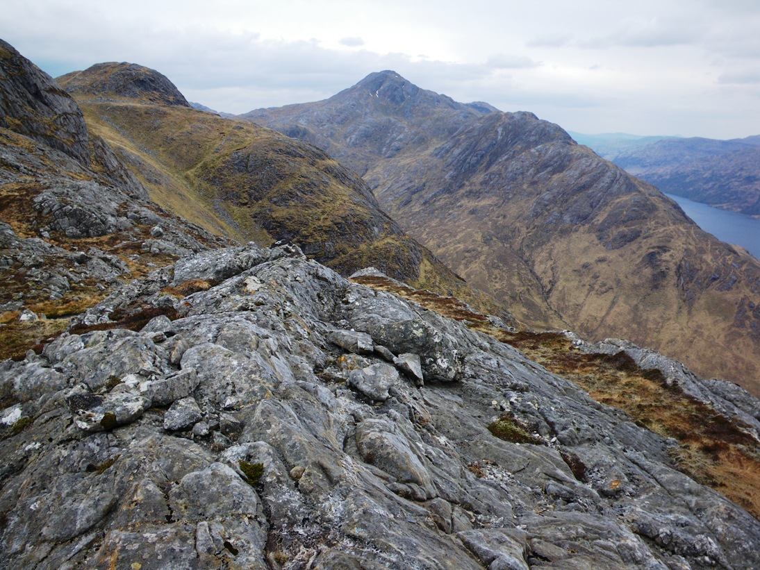

Saturday 6th April — Glenelg
Beinn a’ Chapuill (759m, Graham)Beinn Sgritheall NW Top (928m, Munro Top)
Beinn Sgritheall (974m, Munro)
Beinn na h-Eaglaise (805m, Corbett)
A Navigator’s View
This was Gavin’s special day, as described in the programme. However, following a brilliant idea from Rick, everyone agreed to do the route in reverse and start from and finish in Gleann Beag. This saved the extra travelling to Arnisdale, maintaining the possibility of making it to the Kintail Lodge Hotel in time for the dinner table booked for 16 at 1930. Accompanying Gavin were Rick, Gerry, Jane, Alan, Peter, Andrew, Trl, Fiona, Craig, Robert, Chris, Angela, Jeannie, plus Alan and Mary – former members up from England for the occasion.
Not a hill-bagger, I was unmoved by the ticking-talk but looking forward to climbing these hills from a completely different approach, new to everyone present. The weather was not kind – the rain we had passed through on the journey to Glen Elg was catching up, and the cloud settling on the tops was likely to offer some interesting navigation challenges. Nonetheless, Beinn a’ Chapuill was a splendid sight as we drove up Gleann Beag to the start, its dark brooding bulwarks surmounted by the long sinuous ridge we were about to climb.
The first challenge was finding the bridge over the Abhainn a’ Ghlinne Bhig, passed unnoticed among trees by some of us. For the record – a WP, NG8663215827 precisely locates it.
In spite of the rain now falling steadily, the climb up the ridge afforded some good views of the surrounding glens and hills and an easy-angled ascent to the summit of Beinn a’ Chapuill. We stopped for elevenses and discussed the next section. We all intended to climb Beinn Sgritheall by its graceful curving NE-NW ridge. Gavin, Chris, Trl, Alan, Alan and Mary intended to do all four peaks and the other 10 would descend from the Munro to Gleann Beag by Coire Min and Coire Dubh.
The descent to Bealach na h-Oidhche was steep, hard going and deep, 270m. The party quickly extended like a tumble-dryer hose snaking down, across the defile and up the other side. This is often the view of a navigator, photographer, botanist, wildlife observer, or anyone who pauses for a minute or two to indulge his/her interest. Three members were struggling somewhat on the descent. I made a spurt up the foot of the ridge ahead, managed to make contact with a group of four and pointed out that, if they didn’t actually stop, the three behind were likely spend the rest of the day on their own. We had a drink while the they caught up, then climbed the ridge, 8 together, all still intent on making the Munro the last peak of the day. The missing two were last seen with the group up ahead which had disappeared into the lowering cloud.
The ridge levelled out at the edge of a plateau at 920m and out of the fog burst the other half of the party that had been to the NW Top and back. The 16 walked up S together, curving W for the summit of Beinn Sgritheall. The plan was for us all to descend the SE ridge to a col at 830m. The bagging party would continue E over the 906m summit, down to Bealach Arnasdail and up to the Corbett, Beinn na h-Eaglaise. The non-baggers would head N down into Coire Min. The SE ridge does not terminate at the summit but further E at the edge of the plateau. We would have to backtrack E for about 150m and then turn SE down the ridge. There was some discussion about this so I paused to check the route again. But - I was now alone, save for the corpse of a decapitated trig point, the voices fading away into the fog.
I set off. A few minutes later, the swirling cloud briefly revealed the spectacle of a tightly bunched group of walkers still briskly following their own footsteps, now heading N back the way they had come. Some stragglers were struggling to keep up with them and I managed to attract the attention of one, waving a walking pole to indicate my direction of travel. I descended an impressively steep rocky ridge, the drops on each side plunging into bottomless mist. Sheer delight, - but maybe unremarkable on a clear sunny day. The ridge merged into a broad open slope. Trl appeared at my side and confirmed that the rest of the party was now on course. We walked down to the col and waited for them. We waited so long that she worried they may have passed us in the mist unseen, and wondered whether she should press on immediately to catch them up. Just then, another swirling cloud gave us a brief visual contact with the scattered horde, which eventually assembled on the col.
Six baggers headed E and the remainder turned down N out of the cloud into Coire Min, an impressive hanging corrie cradling a loch. It disgorges both northwards, steeply down crags into Coire Dubh and eastwards into Rosdail, its lip deeply incised by a gorge bearing the issue from the loch, topped with a waterfall. The centrepiece of this splendid scene is what must be a giant roche-moutonnée, summit 641m, and just asking to be climbed, were it not for the late hour and dwindling energy reserves.
We finished the walk at 1906. We were just pulling away in the cars when Gavin and Trl appeared, running for a lift. They had done the Corbett and descended by Druin nam Bo. The other 4 were in Alan’s car further up the Glen. We were late for dinner and lost our table. However, we were eventually served at three separate tables. Leaving at about 2200, we headed homewards as far as Letterfinlay, where the A82 was closed due to an accident and we spent half the night in our cars.
For future reference, the WP NG8372112632 precisely locates the head of the SE ridge of Beinn Sgritheall at the edge of the summit plateau on the 950m contour.
Andrew
Thanks to everyone who joined me for my completion of my 2nd round of Munros, Corbetts and Grahams and my 1st round of Munro Tops. This was a great day as Andrew describes above.
My 1st round of the Munros, Corbetts and Grahams took place during a club walk in June 2009, ten years ago. I was pleased to have four members out from the previous completion: Andrew & Gerry, Alan & Mary. Some others would have been there if possible, but John B was ill, and Stuart & Lydia could not make it as Lydia is recovering from a hip replacement. Ten years ago we had 20 people out and great weather, but only three of us did all three hills and many only did the Munro.
Unfortunately for me, three days before the walk, I went down with a cold that Suzanne had gone down with a few days before. The night before the walk, the cold got rather worse, and I did not know if I would be up to doing the walk. I deliberately took less gear than normal, but, unusually for me, took some walking poles. Previous experience has shown me how these can really help when not in top form. As it turned out, I didn’t need them and the cold did not affect me too much, although I was careful not to push the pace. But early on in the walk, when we stopped for our first food break, I sneezed violently and strained my back! Fortunately it wasn’t a problem during the walk, but has been a problem since.
As described by Andrew, we got up the Graham and Munro without problem. From there Alan & Mark, Alan P, Trl, Chris and myself went on to do the Corbett Beinn na h-Eaglaise. Descending to the col turned out to be rather steep. Trl and Chris made the mistake of following me (they should both know better by now!) as I tried descending the rather steep gully to the left as we descended. Initially this wasn’t too bad as the snow was fairly soft, but after a while the snow got rather steeper and firmer. At that point we faced inwards and descended by kicking steps into the snow and using previous steps as hand holds. After a while we got back onto easier ground before leaving the gully by a path and joined up with the others. The remainder of the descent to the col was straightforward with Alan & Mary enjoying a bum-slide down some snow slopes.
Ahead of us was the Corbett. It looked far too steep and there did not appear to be a path. We ascended very carefully as it looked too steep to risk a slip on the snow or the wet grass. Fortunately it was not too difficult and no scrambling was required, although we all used our hands quite a bit. When we arrived at the summit, the weather was beginning to clear and we could see down to the sea and could just about see across to Knoydart. Now Beinn Sgritheall was looking quite spectacular. Rick’s route was definitely a good choice with better views than the route I had previously chosen and much easier in the conditions we had. Ascending this final Corbett was much easier than a descent would have been as the original route required. When we did the descent 10 years ago (for my first round completion) we did it in June in glorious weather and everything had been dry.
We descended by the NE ridge to Druim nam Bo and then headed N down a ridge before a river crossing and a short walk back to the bridge of our ascent route.
The weather had not been great, but any rain was not heavy and the cloud base not too low and cleared later in the day. Bad weather did not spoil the day.
We enjoyed a meal at the Kintail Lodge Hotel. Service was a little slow due to lack of staff. Alan P would have been dragged off to the kitchen to help cook our meals if he had told the staff earlier of his experience of working in kitchens! Chris left first as she was staying at the Ratagan Youth Hostel. She was the only one of us who was to get to bed at a reasonable time (assuming she didn’t arrive too late and was locked out). The rest of us all got stuck in a traffic holdup at about 11pm at Letterfinlay. Other vehicles had been stuck since 5.30pm. As this point we realised that the slow service had been a good thing as otherwise we would have been queueing for even longer. By the time the traffic started to move at 2am we had eaten all our remaining hill food. We got home about 3am but the Oban group got home nearer to 4am.
So, again, thanks to everyone for coming out on a great day. Thanks especially to Robert who managed to get up even though this was his first time out on the hills since he strained an ankle in September.
What next? Next weekend I can start my 3rd round!
Gavin
Photos from Angela:
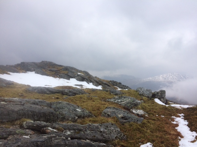
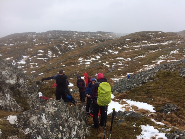
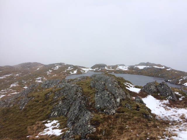

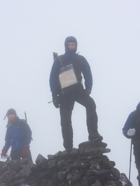

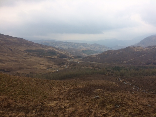
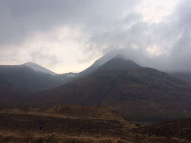
Photos from Andrew:
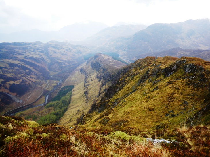
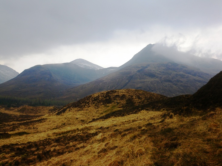
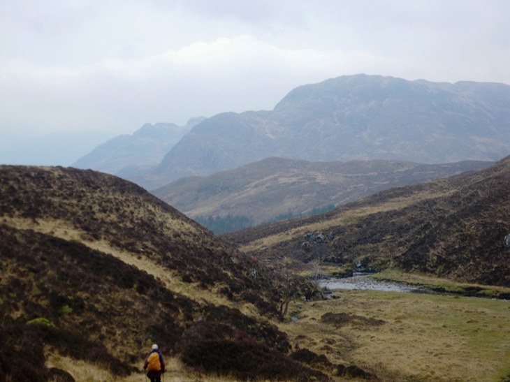
Sunday 31st March — Meall Glas and Sgiath Chuil
12 members out on this walk, a good turnout. The forecast was right – blue skies, sunshine and excellent visibility. We found that the parking place is now further down the glen, giving an extra half mile of track walking. We decided not to continue to Batavaime but took the hill track S from Lubchurran and ascend Beinn Cheathaich first. Sadly the bridge marked on some maps is no longer there but luckily the river was fairly low and fordable.
The forecast summit temp of -3deg was a bit misleading. Layers came off as we worked our way up the steep slopes. The spring sunshine was certainly warm. On our first summit, Beinn Cheathaich, we met a light wind but it was enough to put the layers back on again and seek shelter for our elevenses stop. An undulating broad ridge led us to the Munro Meall Glas with terrific views all round. Some snow patches remained but were soft enough to cause no problems and even gave some folk the opportunity to bum slide. Returning along the ridge we dropped off south heading for the col between us and the second munro, Sgiath Chuil. This descent gave us a few thought provoking detours around craggy outcrops. Nine people then headed off up the steep slopes leading to this peak. Ken later said it was “a long and hard ascent”.
Andrew, Gerry and John decided one munro was enough and headed NE to gain the N ridge of Sciath Chuil which they then descended. Everyone eventually came down this way, aiming for the bridge where the old hydro track crosses the river. Depending on which map you had, the amount of forestry on the hill varied so the start of this track is not obvious. The lucky ones took the track all the way, some had to bush whack to find it and others descended to the river and followed this to the bridge. It was a long day and late coffee was taken at the Bridge of Lochay hotel.
Gerry
Photos from Ken: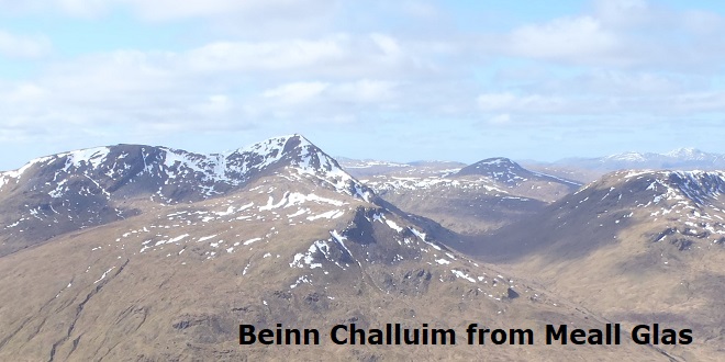
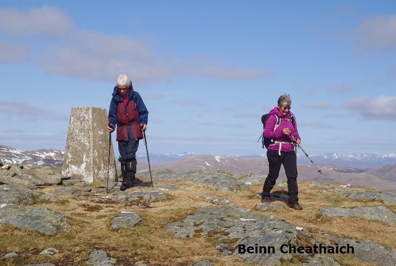
Saturday 23rd March — Drumochter
A view from the coordinatorThis was a feast of hill-bagging on a cold, windy but almost totally dry day after a long period of bad days and cancelled or changed walks. There were patches of sunshine and any cloud was well above the summits. However, it was potentially a coordinating challenge. 16 cabin-fevered and walk-hungry members turned out. On the menu were:-
Meall an Dobharchain (803m, Corbett) “The Sow of Atholl”
Sgairneach Mhor (991m, Munro),
Beinn Udlamain (1010m, Munro),
A'Mharconaich (975m, Munro),
Geal-charn (917m, Munro),
An Torc (739m, Graham Top) “The Boar of Badenoch”
Lay-by 79 was almost full of cars on our arrival at 0930. Large patches of old snow were visible from here, which prompted some members to re-load rucksacks with crampons and ice axes. Setting off apace, the party managed to keep approximately together until the first bridge over the Allt Coire Dhomhain. Trl, Fiona, Isobel, Kate, Chris, Ken and Liz then headed straight for the first Munro. Andrew, Gavin, Alan, Craig, John, Gerry, Rick, Wesley and Jane intended to do the Corbett first. Gavin and Alan were unable to contain their enthusiasm and bounded up the steep N slope direct to the summit. Caught up in the excitement, Rick, Jane and Craig followed them but were not able catch them up. The other four took a more leisurely approach through the narrow valley ahead, mentioned in the programme. It was completely devoid of snow, and we soon made it up to the col at its S end. From here it was an easy climb up the Sow of Atholl by its SW ridge. Alan and Gavin passed us, running down, but there was no sign of the other three and we supposed they had passed us out of sight beyond the close horizon on this extraordinarily convex hill.
Meanwhile, I learned later, the Munro baggers had arrived at the summit of Sgairneach Mhor and rested briefly, just long enough for Gavin and Alan to catch them up. The latter two didn’t need a rest so carried on with Chris, Kate, Isobel and Trl, followed at a slightly more leisurely pace by Ken, Liz and Fiona.
Returning to the col, we had a coffee break in the shelter of its narrow confines, then headed up an ATV track towards Sgairneach Mhor, catching up with the missing three, also having a break. We continued together up to the summit over rocky ground and patches of old snow to a tundra plateau. The change underfoot was remarkable, akin to walking on carpet, and a chance admire the superb views all around without staring constantly at one’s feet. The NE aspects of Ben Alder and the western hills were resplendent with snow glistening under patches of sunshine.
Crossing the watershed at the head of Coire Dhomhain brought us back onto rocky ground but an otherwise easy slope to the summit of Beinn Udlamain. There were several parties on the hill and, although the landscape was wide open, it was not possible to identify any other NHWs with certainty. Gerry, John and Wesley decided they would drop into Coire Dhomhain just before the next col. On the way there at 1354, Kate texted to say they had done A'Mharconaich and she would descend back to the start with Trl, who was on a tight schedule to get to her dance at Ballachulish that evening. Ken texted at 1510 to report he was on the summit of Geal-charn with Fiona and Liz. Of Chris and Isobel – not a word, but I imagined they were well ahead of the pack, except for perhaps Gavin and Alan. The latter two had agreed to walk all the way to the hotel in Dalwhinnie thus easing the logistical problems at the end of the walk.
The four remaining continued to A'Mharconaich, then headed down a steep curving route, avoiding the steepest ground and a snow-field, aiming for the broad peat-haggged col before An Torc. We reached the summit in the middle of the usual tundra carpet after some heather-bashing on the way up. Ken called at 1622 to say the three of them were at Balsporran Cottages and would like a lift. I referred him to Gerry who would have been nearly back at the lay-by. Gavin texted at 1630 to report they had arrived at the hotel.
We four headed down from The Boar and arrived at the lay-by at 1710. Chris and Isobel had descended from Geal-charn and walked over the boggy and heathery moorland directly back to the start. Ken, Liz and Fiona had been retrieved from Balsporran. Isobel had already departed on her long journey home. With all persons accounted for we headed for the hotel for refreshments.
Thanks to all members who carried and used their mobile phones to assist the coordinator and ensure the safety and effective organisation of the walk.Andrew
Saturday 17th March — Meall an Fheidh
Duisky to Garvan via Meall an Fheidh and Sron an t-Sluic.The ambitious walk to Binnein Mor was postponed for another day due to recent heavy snow fall and poor weather forecast. Plan B was put together a couple of days prior to the event. Six of us (Andrew, Gerry, John, Kate, Jane and Rick) turned out for what proved to be a really pleasant adventure.
From Duisky we followed the well established forestry track in a south west direction through surprisingly open woodland. At the western boundary of the commercial woodland we managed to find the indistinct path through the splendid open Scots pine woodland up to the headwaters of the South Garvan River. Here the group divided in two and found their own way up towards the summit of Meall an Fheidh. Only two of us managed to find the top. Those failing to do so were rewarded with an excellent view of a golden eagle flying above them. On the summit of Sron an t-Sluic the group came together to enjoyed a splendid lunch stop. There was lots of good hearted banter among the group while we were sitting there in sunshine with fine views over Loch Eil and its surrounding snow covered mountains.
On our way down from Sron an t-sluic we divided into two parties one checking out the track down Glen Garvan and one descending the forest track closer to the South Garvan River. We came together to walk the final part of the track down Garvan where a car had been left. The drivers went to collect the other car left at the start of the walk while the rest of the group enjoyed a bit of bird watching on the side of Loch Eil in the sunshine.
This was an excellent walk and was concluded with tea, coffee or hot chocolate at the Moorings Hotel.
Rick
Saturday 23rd February — Ben Resipol
Initial reports were gusty conditions and then easing off with some rain. Some uncertainty over conditions meant that the group would convene and decide at The West End Car Park in Fort William. Craig, Jane, Gav and Alan carshared in Janes’ car and agreed to meet Kate and Rick at Ben View Hotel, and walk up Beinn Resipol next to Loch Sunart. Initially car shuttling was planned between Ben View Hotel and the turn off to Ardery. It was agreed instead to finish the day where we started to avoid shuttling. Finding a reasonable parking spot, we started the days walk from grid reference NN754617.
The walk along the road to Ardery soon brings you to a gate and a bridge which crosses a fork leading to the Allt Ard Airigh, beyond this we walked NNE through a field. Then crossed some fencing into a wooded area. Over this point the terrain reveals itself as magnificent and craggy with superb views of Loch Sunart and Beinn Albannaich, a prominent summit masking Beinn Resipol. Continuing the walk NNE we reached an area where the terrain levels for around 100m. The ground was not too boggy. At this stage Gav and Alan splintered from the group to reach a solitary unnamed outlier NE at a height of 434m. Whilst the others continued to walk NNE up the south side of Beinn an Albannaich, Alan rather regretted bringing his winter boots for a moment. At least he’d left his ice axe and crampons in the car.
Gav and Alan handrailed the gully of Allt Creag an Eighich before finding a suitable place to cross and a much-welcomed sip of water from the river. Reaching the summit they stopped for a quick break before crossing west back over Allt Creag an Eighich to find the others on the southern side of Beinn an Albannaich. The rock features continuing up were very interesting with one massive boulder that looked like it had been “Karate chopped”, which Jane and Alan just had to walk through. Beyond also was a levelled area at 572m with a fantastic slab rock feature diving into a lochan, which was envisioned in being in a hazardous Kayak scratching go pro video.
We continued up to a raised point which then descended to Lochan Bac an Lochain. From about 600m on the north side of this point we agreed to push on up into the clouds of Beinn Resipol. The walk before this point started dry, some light to mid blustery gusts at points and then rain came on. Walking round to the west of Lochan Bac an Lochain we made our way up the craggy south west ridge of Beinn Resipol where the conditions quickly deteriorated into a rather more foggy, blustery and wet affair. Picking our way carefully through the crags walking NE we were sure to stay close. Reaching the summit didn’t take too long from the beginning of the ridge going NE from the western side of Lochan Bac an Lochain. It was also less of a hoolie once we reached the cairn possibly due to the shelter it provided. Despite this everyone was suitably acquainted with the water. We had a short break. People had time to eat and drink. Gav was trying to cool his coffee down with rain.
It was decided not to go down the way we came due to the poor visibility, wind rain and crags. Gav suggested we walk north into a gully which dropped WSW from a stream which reached the fork of Glac Gharbh. Reaching the meeting of the fork we crossed one and traversed south to aim for the western side of Lochan Bac an Lochain picking our way through a craggy, section. The streams descending from the west were misleading as they weren’t on the map. And could easily be mistaken for the one coming west from Lochan Bac an Lochain. At one point in an attempt to re-join lochan Bac an Lochain we walked up a bit of a stream not visible on the map mistook for the one descending west from Lochan Bac an Lochain. Finally we came upon the western side of the loch whilst traversing to the south and reaching the south western side of Beinn Resipol. Finally we navigated our way back through the route Kate, Rick, Craig and Jane had come from the south. This time through clouds which had dropped to around 400-450m by that point and back to the cars. The way down was drier and less blustery than the way up Beinn Resipol.
We reconvened at Glenuig Inn where folks had hot beverages, cake and snacks. Jane tried a new hot chocolate for her hot chocolate blog and Alan had two pots of tea for the price of one.
No snow or ice was reported on this hill today. Temperatures seemed milder than usual for this time of year. Yet the conditions from 600m above were Cloudy, Wet and Windy.
Alan
Saturday 26th January — Not Carn Dearg & Glas Charn, and not at Loch Oich
During the last couple of days, support for Gavin’s bold idea had crumbled. The forecast was foul (and came to pass with complete accuracy). Work and various other indoor commitments were remembered and only Kate and I turned up at the Woollen Mill, and late at that. “0830!” she had said on the ‘phone the night before, coordinating imperiously through some interference on the line that I realised was the sound of a stamping foot. “Where is everybody” I asked. “There is only Gavin” she said, “whom you have failed to pick up at the West End Car Park”. We drove back to find him waiting patiently in the lee of the bus shelter. The rain was horizontal in the SW wind blowing freely up the loch. I had come prepared with an alternative walk starting from Loch Oich, of about the same length but remaining under the cloud base. A brief discussion ensued and we decided to walk up Glen Nevis from the Lower Falls, then go somewhere for coffee.
The sound and sight of rushing water pouring into the Glen were magnificent. The Lower Falls were swollen as if to burst, with noise to drown conversation. The Allt Coire Eoghainn was bounding down the slabs, an unending avalanche of white water. There was only one car at the Upper Falls. We headed into the Gorge and forked left up the old path, crossing the Allt Garbh and several of its tributaries in spate, the path itself bearing the overflow. Descending to the Meadow, we had a grand view of the Steall Falls. There was no possibility of crossing the foot of them this day. Past the Wire Bridge, we turned the corner of the Glen to find the Water of Nevis lapping at our feet. However, out of the wind we paused for elevenses. Two dogs appeared followed by two blokes clad in Lycra who ran past shouting “a great day for it” and disappeared, traversing the steep slope on the path that has developed above the flood-level now that bank-bursting events have become more frequent. The urge to drink coffee becoming keener, we turned back. More folk were heading into the Meadow from the Gorge, some dressed for the conditions. Probably hillwalkers looking for something to do on a bad day. There were tourists as usual, not so well equipped including a bunch of young americans. Costas for coffee, then home to eat sandwiches for lunch.
Andrew
Sunday 20th January — Creach Bheinn, Loch Creran
Five members met on a damp and cloudy day to do this Corbett. Although Gerry was going to walk on the track to the bealach above Coire Buidhe and back, while Andrew, Lindsay, Trl and I would do the programmed walk. Gerry's initial walk would be about 4km with ascent of 590 m and back (that track is steep!), plus an extra walk until we all met again at the start point. Our walk was shown on the programme as 13km with 850m ascent, but I made it 14km with 1160m ascent, but at the end of the walk, Andrew's GPS said it was 16km.
About half way up the track, we entered the mist. I had been in the area on the previous Thursday and our proposed descent looked as if it might be icy. But being in the mist meant that we could not see what it was like. Going higher, it became windier with sleet/snow/hail (I'm not sure which it was). It had also become snowier underfoot, but there was little ice.
We left the track at the high point and headed cross-country. There was supposed to be a path, but only occasionally did we come across it. It was not very pleasant in the wind and snow and navigation was by GPS, map and compass. However, after the steep climb on to the 804m top, there was evidence of the cloud clearing, and the snow had stopped. On the way across to the main summit, the sky did clear giving us picture-postcard views all around. It was still windy but we managed to find a sheltered spot just below the summit for lunch. Then it was across to the ring contour and down the ridge. Unfortunately, we descended too far and had to climb out of the coire to reach the col SW of Creag na Cathaig. All the while, we had been walking through snow, but it was soft and did not hinder us at all, and although we all carried ice axe and crampons, we did not need them. Going down into Coire Buidhe, was not as difficult as I had imagined. It was steep, but there was little ice (only some frozen ground) so we gained the track back with ease (we crossed the Allt Buidhe easily). On the way down, we saw a herd of deer watching us warily from the slopes above. On arriving back at the cars, we discovered that Gerry was still on her walk, but she appeared quite soon.
Unfortunately, the only place near for coffee (the Creagan Inn) was closed for the winter, so we made our respective ways home.
John
Tuesday 8th January — Buachaille Etive Beag, Glen Coe
A forecast for a bright sunny day tempted Liz and Ken our for the first Nevis Club Tuesday walk on Buachaille Etive Beag. We made good progress up to the bealach to be greeted with the sun rising over Buachaille Etive Mor. Some parts were slippery on the plateau with frost on the rocks but we were soon on the summit of the first Munro of Stob Dubh. A few more people around as we made our way back to the bealach and on to the second Munro of Stob Coire Raineach. Leaving the path we continued towards Stob nan Cabar then cut NW down to the carpark. Here we saw a herd of deer on the move and two ptarmigans looking very obvious in their white winter plumage. A grand day out.
Ken
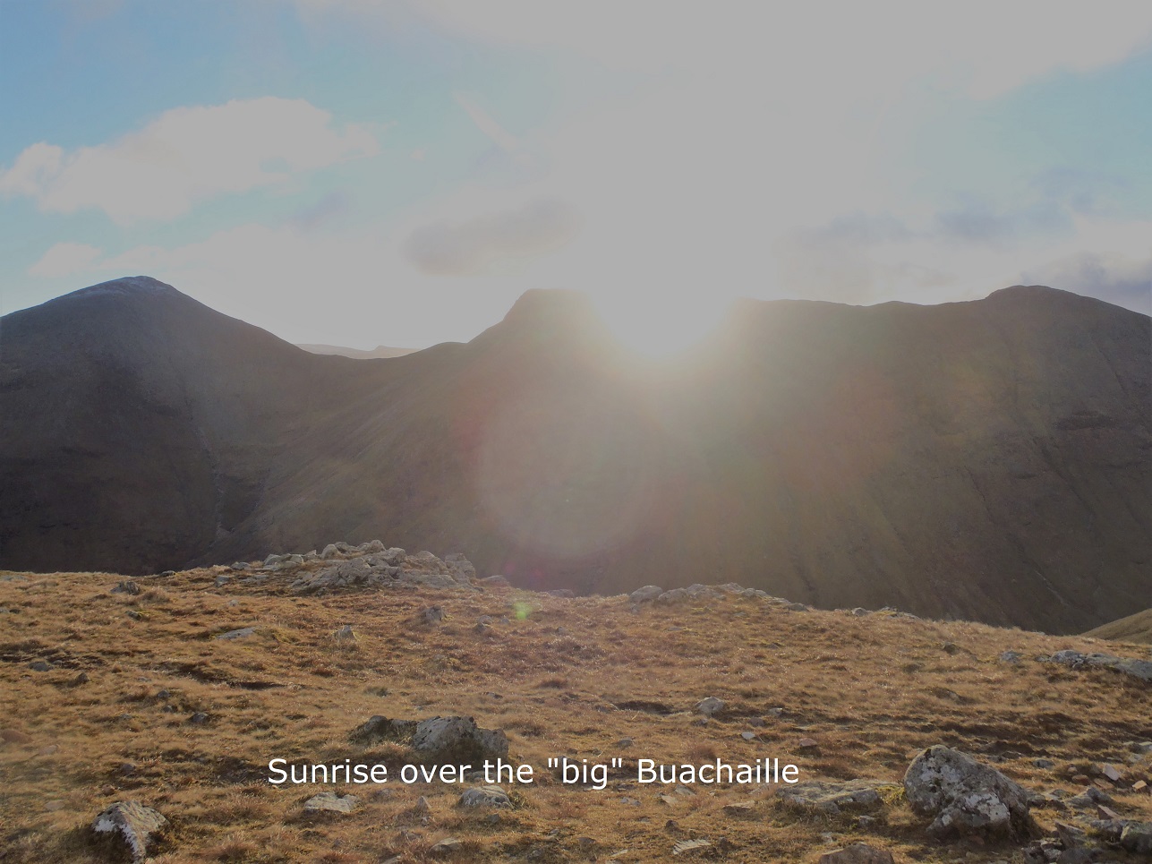


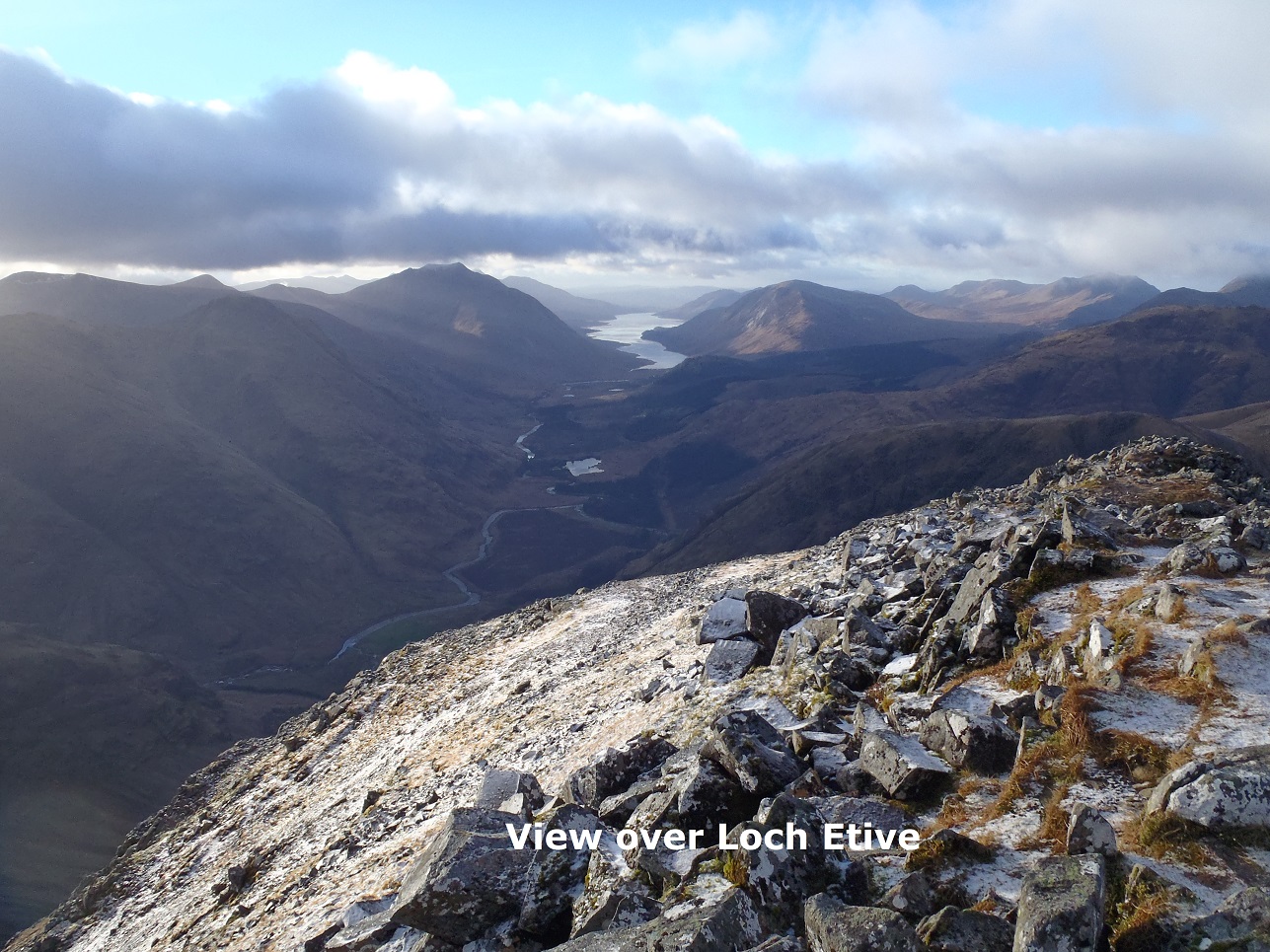
Sunday 6th January — Creach Bheinn and Maol Odhar, Glen Tarbert
A slightly later than usual start to the first walk of the new year, 8 of us – Fiona, Rick, Jane, Craig, Gerry, Andrew, John and Trl, met at the Corran Ferry for the 9.10am crossing. A rather dreich and misty day and mild for January was noted. We parked at the lay-by between the two power stations on the A861 at NM873605 and headed W on the verge of the road to the hydro track. The track crosses the Carnoch River with a good bridge, however, the gate at the bridge was padlocked and we had to climb the gate – an access issue to be taken forward. Following the very steep track up into Coire Dubh until it comes to an end we continued on the rugged heather up in an S direction on the W side of the Coire until we met a fence and ascended along the fence line until the hillside opens up and it was easy to cross.
From here on it was all navigation as the mist was fairly thick, depriving us of the fabulous views. Turning SE along the edge of the rim of the Corrie to a point NM874581 we then turned SW to the summit of Creach Bheinn. Just below the summit lie the remains of an old camp from the early days of Ordnance Survey – possibly dating back to early 19th century? If anyone has more information it would be great to know. Some details will be found at http://canmore.org.uk (AG)
Having enjoyed our sandwiches amongst the ruins we retraced our tracks back to the point NM874581 and descended steeply E to the Bealach at 714m and continued E up to the summit of Maol Odhar. At the summit we found some remains of the plane that crashed into the Coire nam Frithallt in 1964. Fiona had sent us some information about the search for the plane prior to the walk which added another interest to the day: https://diariesofjohnhinde.wordpress.com
Leaving the summit we curved around the ridge of Coire nam Frithallt to a col and up a summit at 715m. The mist did not show any sign of lifting and as we headed off the 715m summit some of us got slightly separated in search of the best way off, causing everyone to check their navigation thoroughly to ensure we headed in an N direction together. The descent was very steep and rugged and at about 550m we turned in a NW direction towards the fence which was crossed again and down to the hydro track that took us back to the main A861, following the verge of the road W back to the starting point. Walking along the verge it was noted that even a relatively quiet and remote road is not immune to the debris of our ‘throwaway society’, kind of spoiled the end of a rather good day out.
Trl