Pictures and Reports from 2020 Walks

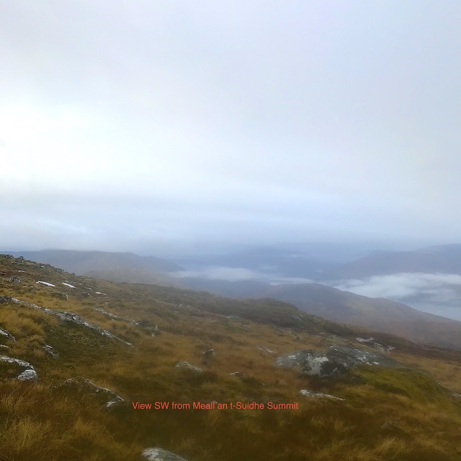
Saturday 26th December — Meall an t-Suidhe, Glen Nevis
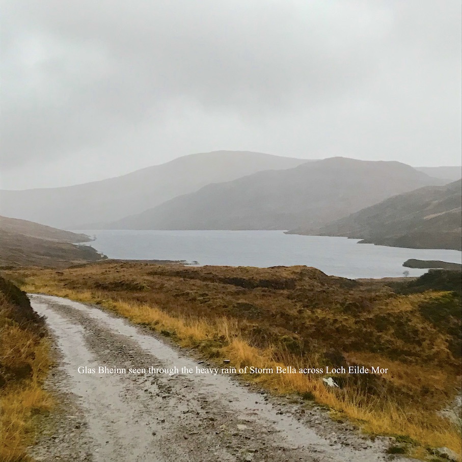
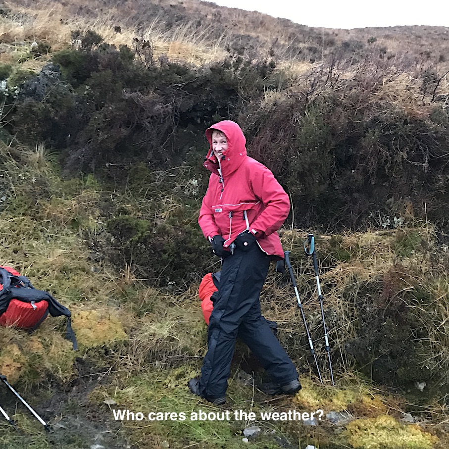
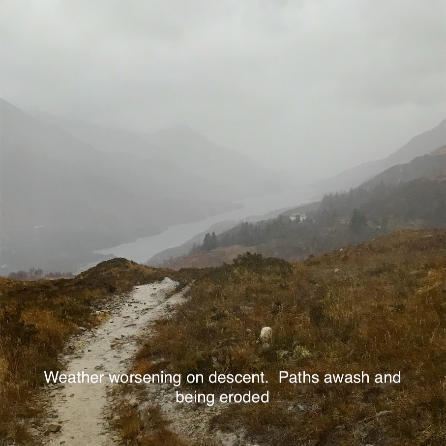
Weather and Ground Conditions : Wind SW 25-30mph, constant rain, visibility moderate. Ground saturated and running with water, streams very high or flooding out of banks. Paths awash with fast moving flows on gradients causing widespread erosion, deep pools forming on level sections. Met Office yellow flood warning in force. Storm Bella progressing E across the country.
Walkers : Andrew, Jane
Distance : 6km
Ascent : 420m
Duration : 3 hours
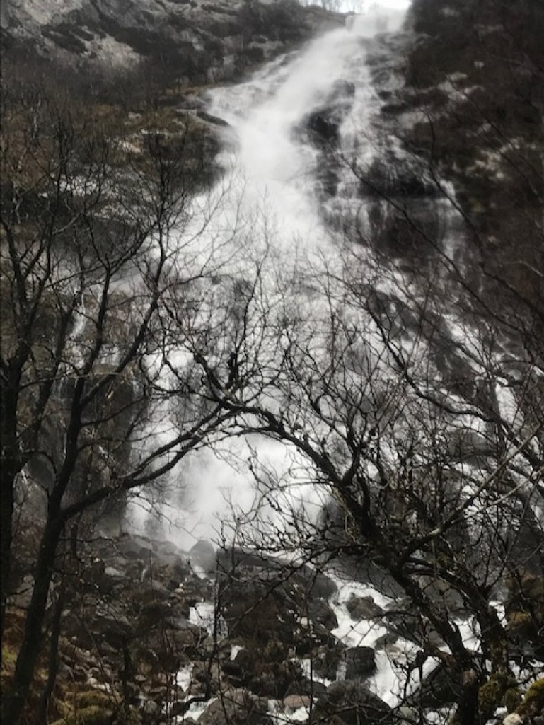
We started out with little expectation of completing the full route as programmed. The wind increased with altitude and the promised storm-force wind at the summits seemed highly likely. Stopped for a drink and a bite at a high point on the track above the foot of Loch Eilde Mor and decided to return on the track. Forked left down the path when the track turned NW. Continued down to the foot of the falls before returning to the car park.
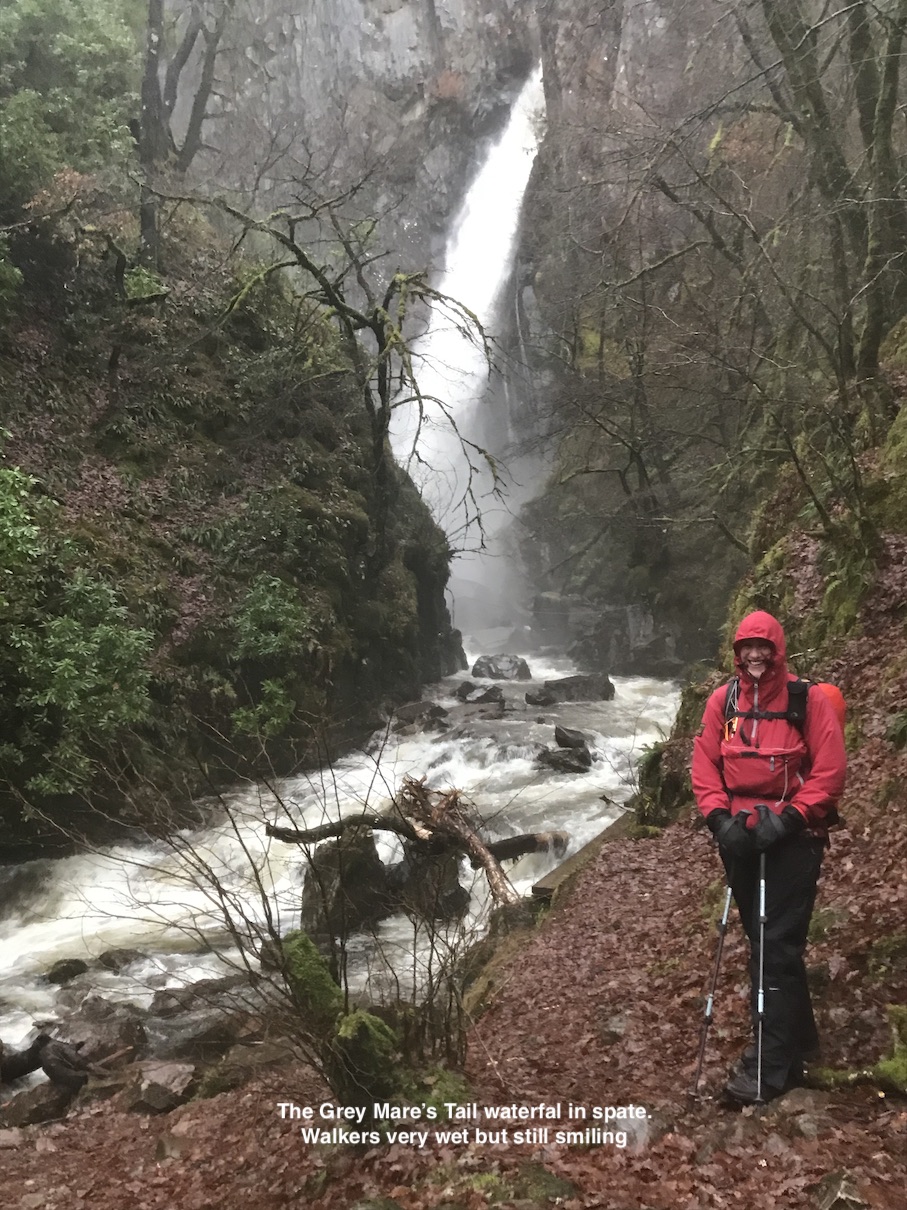
Not surprised at the poor turnout with such a bad forecast. However, these hills are impressive in all moods. It was well worth going out. The Allt Coire na Ba pouring over the Grey Mare’s waterfall was a fine sight.
Andrew
Storm Bella didn’t deter us from at least getting as far as Loch Eilde Mor. At times we weren’t sure if we were walking or windsurfing. It was extremely gusty and inches deep in water along the paths and all the water crossings were fast flowing and fierce. The programmed hill was a definite NO but we had a decent day’s walk considering the conditions.
Jane
Sunday 20th December — Stob a’ Ghrianain and Druim Fada
Weather and Ground Conditions : Rain turning to showers, snow at altitude. W wind, moderate, strong where exposed. Ground very wet, running with water and boggy in places. Burns high.
Walkers : Andrew, Jane, Rick, Trl
Distance : 9km
Ascent : 700m
Duration : 4:15 hours
As we drove to the start of the walk in Glen Roy in heavy rain and very little day light I am sure we all wondered why we were doing this. Fortunately by the time we set off on the walk the rain had stopped. Bolstered by each other's company we were soon along the forestry track, up the muddy path and out onto the open hillside.
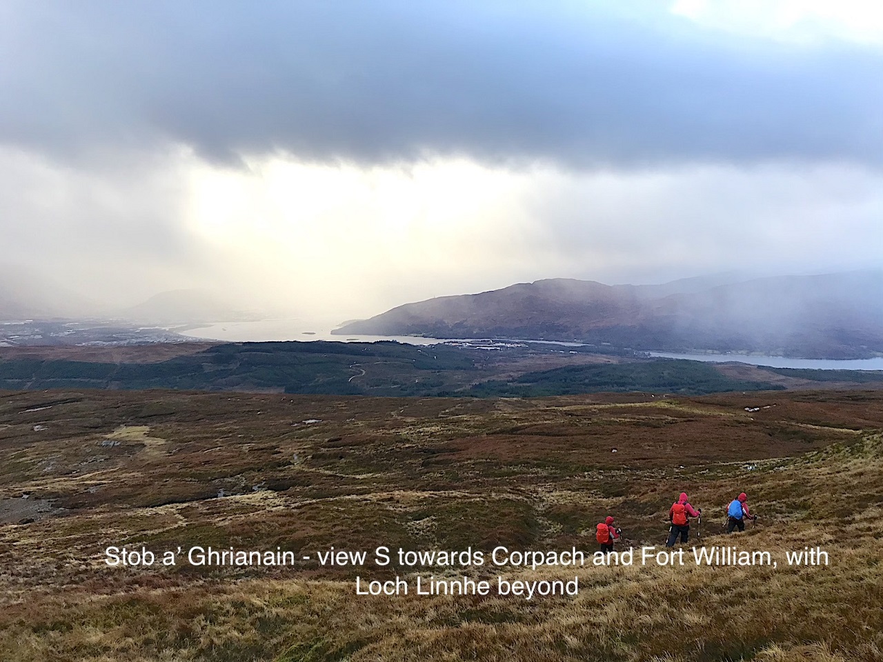
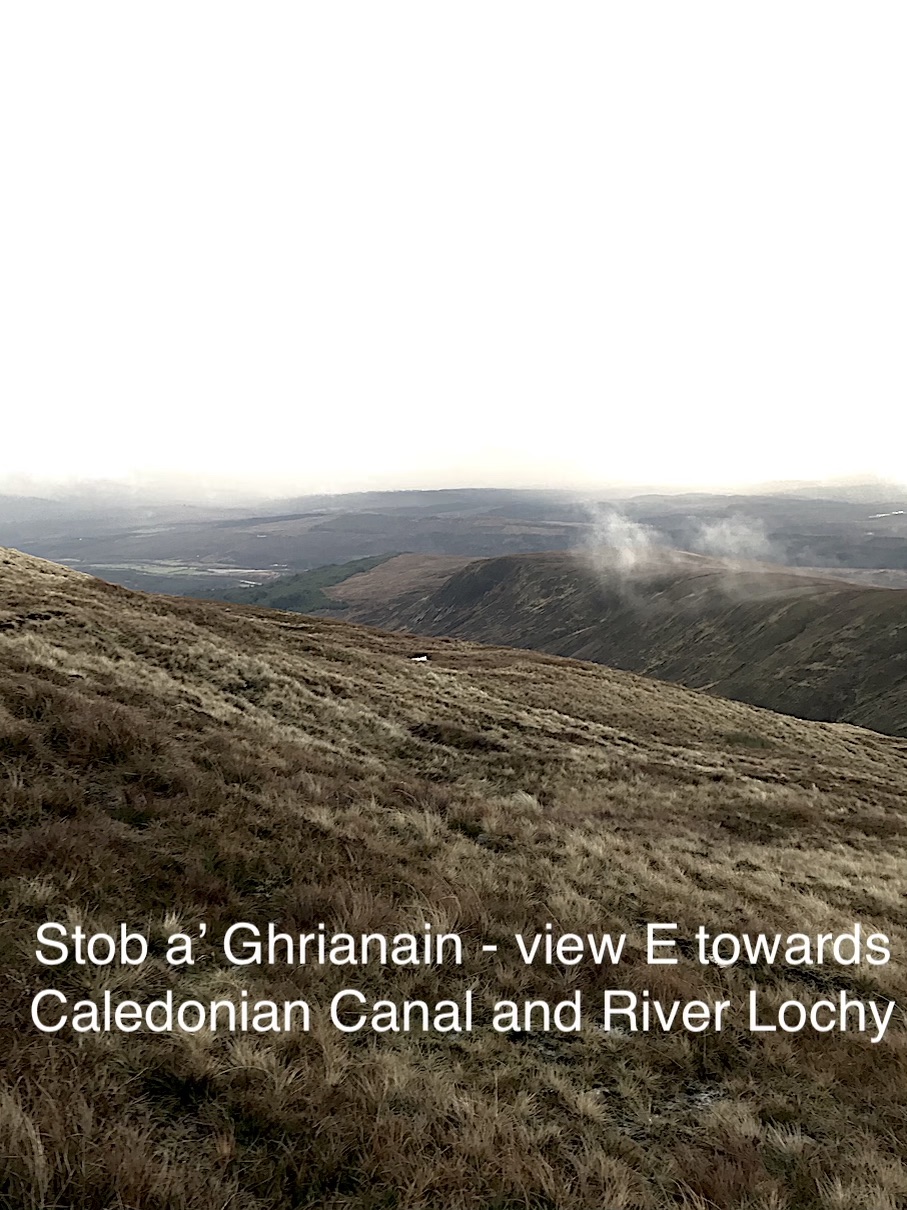
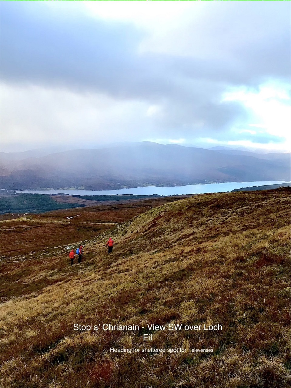
We were well up the east ridge leading to the summit of Stob a' Ghrainain before the cloud enveloped us and the rain and snow began to fall. We had been sheltered from the effect of the wind until close to the top, it then started to make things a bit uncomfortable. From the summit we headed south down the hill side and soon were out of the cloud and most of the wind and able to enjoy the fine views over Corpach and Fort William. Jane suggested we take a break for coffee and a snack. We found a sheltered spot out of the wind and hunkered down. After putting on some extra clothing and enjoying a well earned break we headed off along the broad ridge leading to Sron Liath. Fortunately the rain held off and we soon found a suitable place to drop off the ridge and made our way down to the path that we had used on the way up the hill. A quick walk through the trees and then along the forestry track and we were back to the start. We all agreed that it had been worth the effort and that we were pleased to be out even on this dark wintery day.
Rick
Having plucked up courage to venture out despite the wet outlook a decent days walk unfolded. Very wet underfoot, gusty with flurries of snow but we were rewarded for our efforts with ethereal glimpses of Loch Linnhe through cloud and shafts of sunlight plus the inevitable rainbow 😊
Jane
Saturday 12th December — Meall an t-Suidhe, Glen Nevis
Weather and Ground Conditions : Wind light and variable. Continuous light rain easing by midday. Visibility good, occasionally moderate. Ground saturated, a few snow patches near summit.
Walkers : Andrew, Jane, Robert
Distance : 10km
Ascent : 850m
Duration : 5:30 hours
The walk originally scheduled, Ben na Lap from Corrour, was changed because regular regular were reluctant to use public transport during the Covid pandemic. The following route was substituted:
Meall an t-Suidhe, Glen Nevis
Start at the car park at end of the public road by the Ben Nevis Inn, NN125730. Climb the tourist path to a point just below the Half-Way Lochan at NN142721. Leave the path at NN142721 and walk NNW up the shoulder of Meall an t-Suidhe on easy slopes over rough ground to the summit. Descend east or west of the craggy ground to the north to reach a plateau, then over the small mound of Creag a' Chail. Continue the descent to the surge chamber at NN137748 at NN137748. Near the gate to the enclosure, a footpath zigzags down to the head of the penstocks. Pass around the valve-house enclosure and head SSW on a descending traverse to return to the start.
10km, 680m ascent
However, we decided to duck under the penstocks instead of passing around the back of the building. This was not without difficulty. The traverse back to the Ben Nevis Inn on the steep, rough and saturated ground soon palled and we decided to make directly for the nearest surfaced track and soon reached the public road at the electricity sub-station.
Andrew
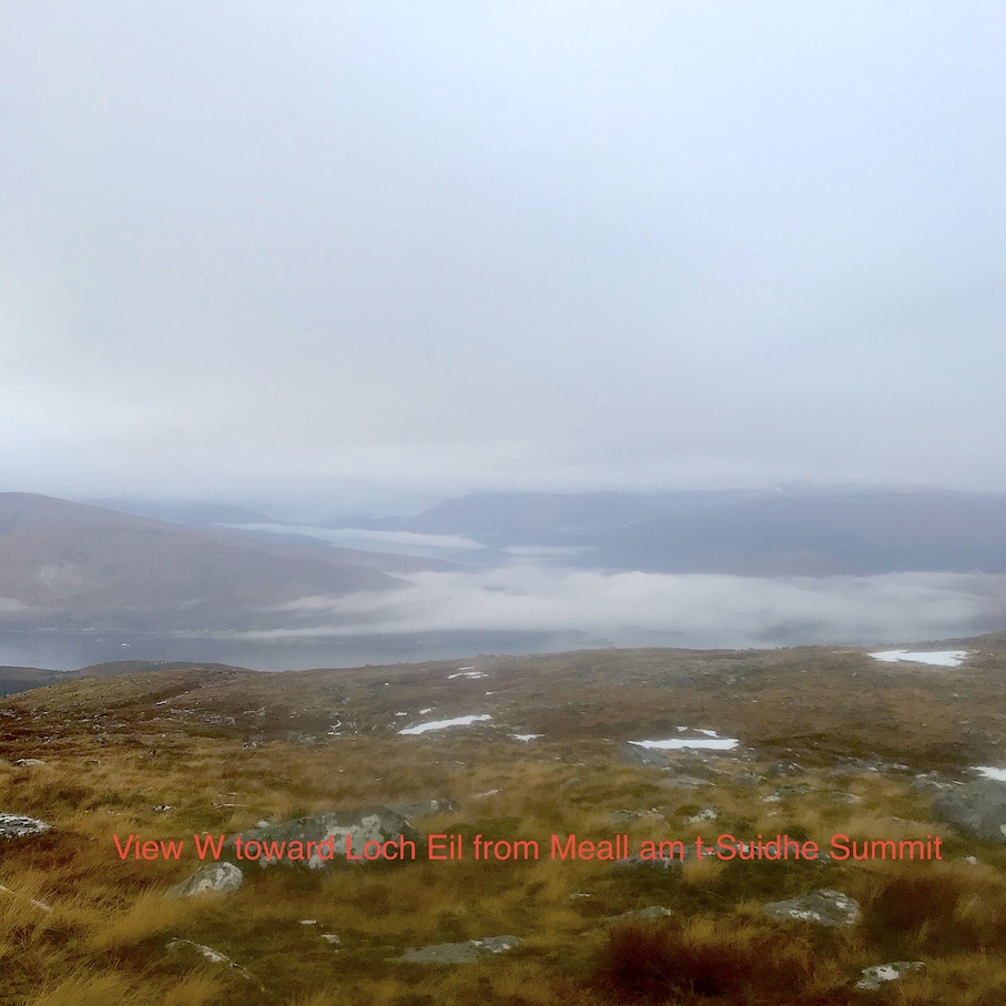
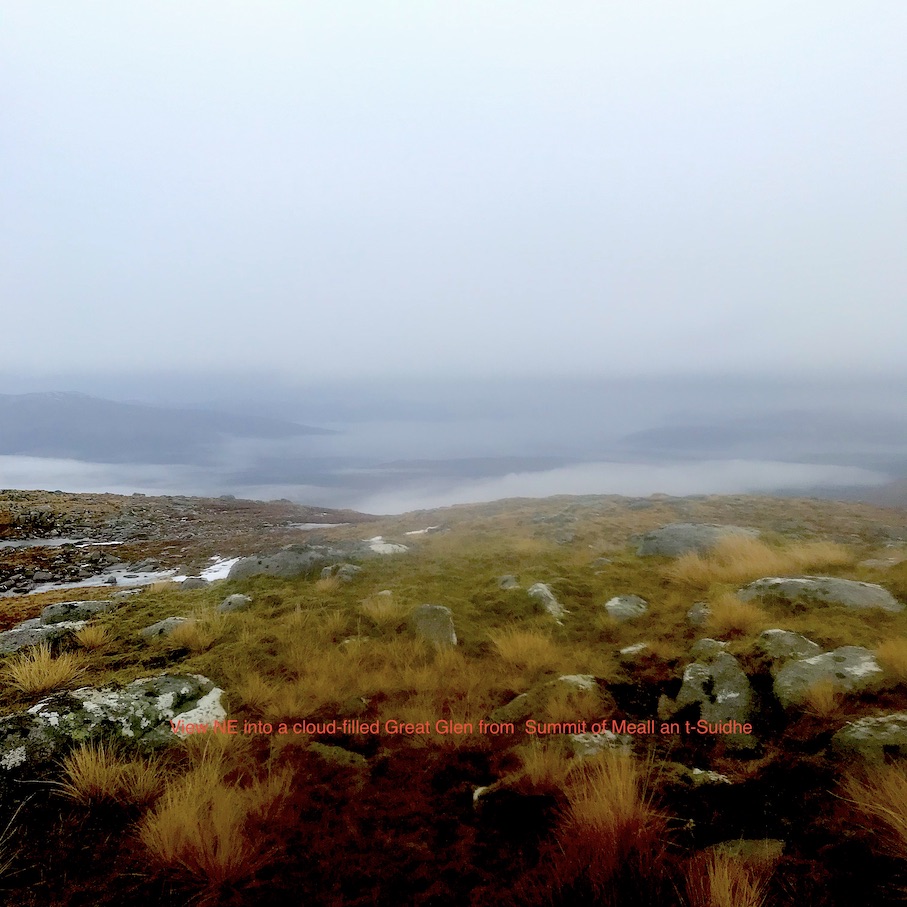
A good alternative to the programmed walk. Started off in the wet but the day promised to improve. Made speedy progress to the top of our chosen hill and an early elevenses break at the summit. Fleeting glimpses of Fort William rapidly disappearing as the clouds rolled in gave few opportunities for any decent photos. Our somewhat novel descent (crawling beneath the penstocks) before group approval for the ditching of the planned traverse back to the start in favour of a finish along the road to the Achintee Barn. Good to catch up with members we haven’t seen for nearly a year!!
Jane
Sunday 6th December — Stob Coire Sgriodain and Chno Dearg, Fersit
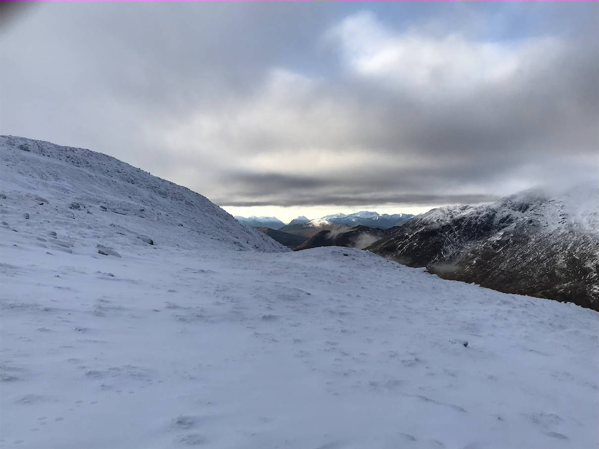
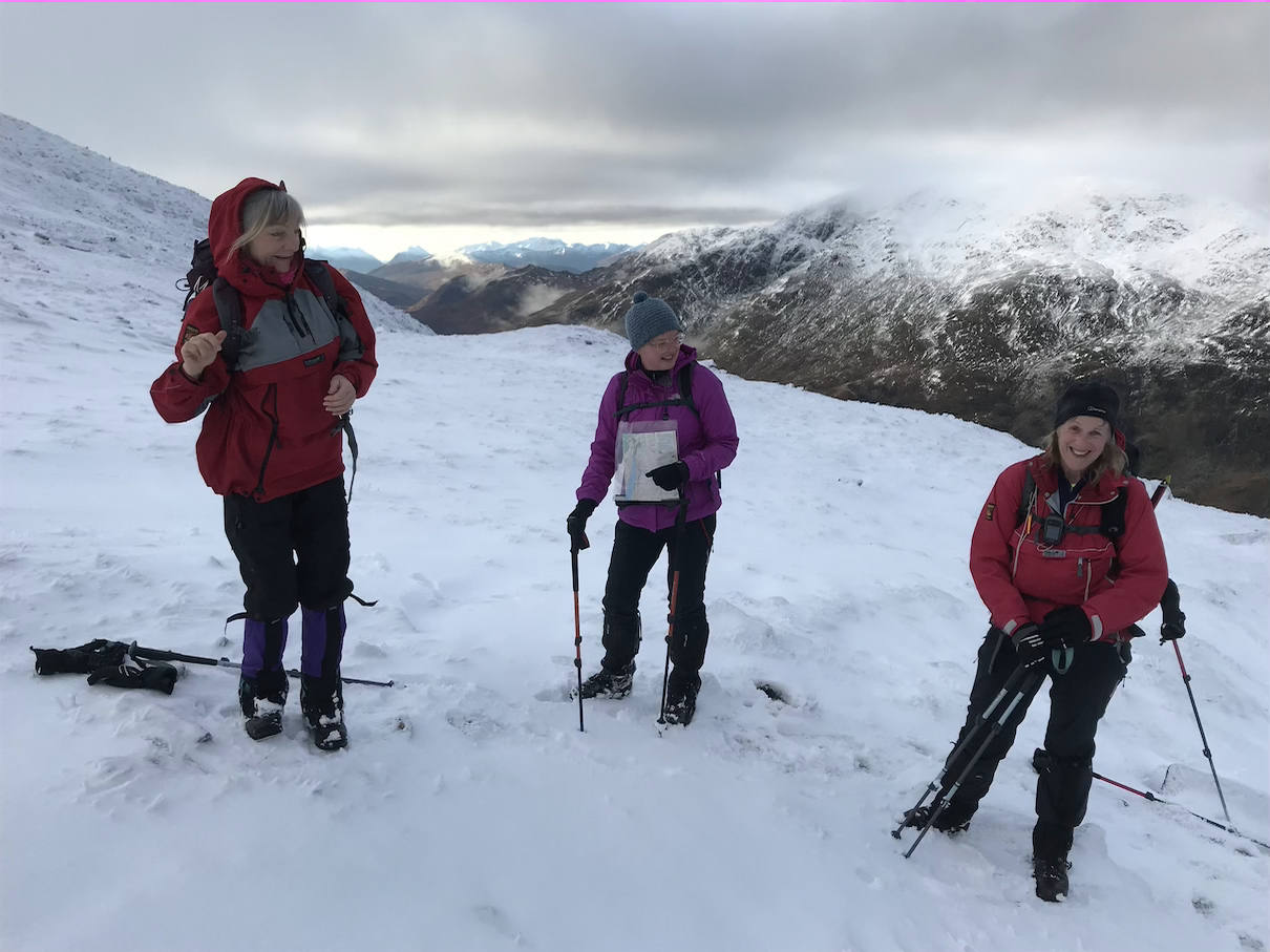
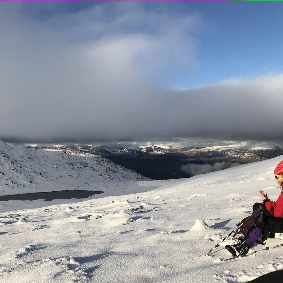
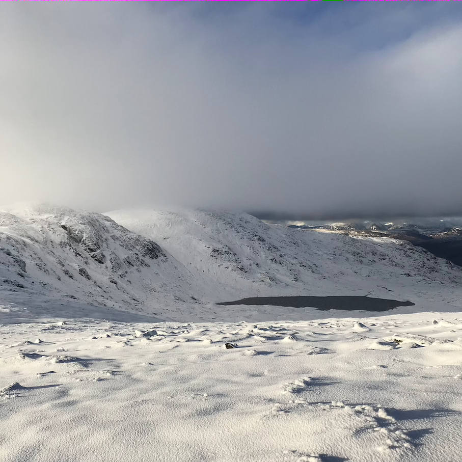
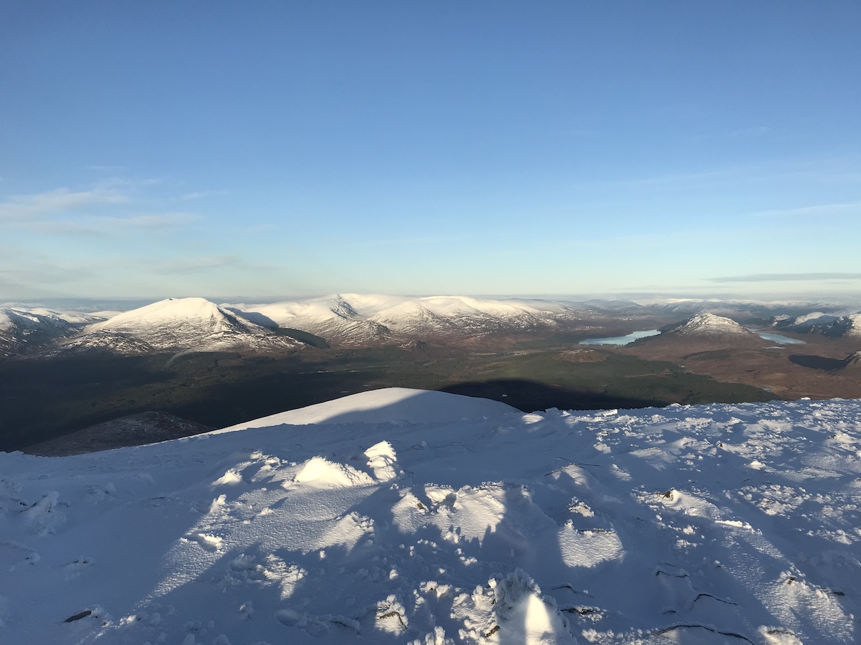
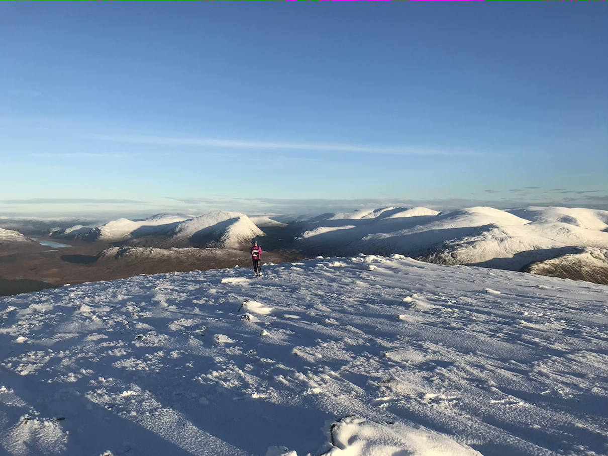
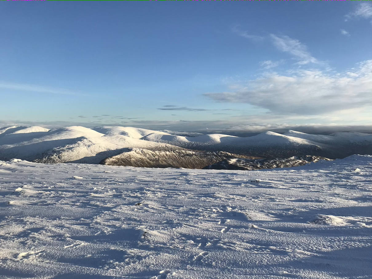
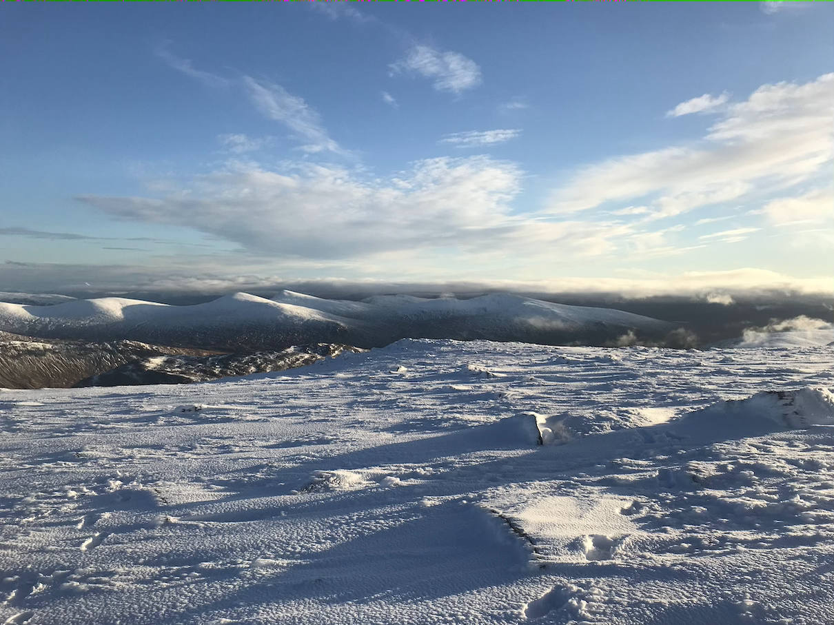
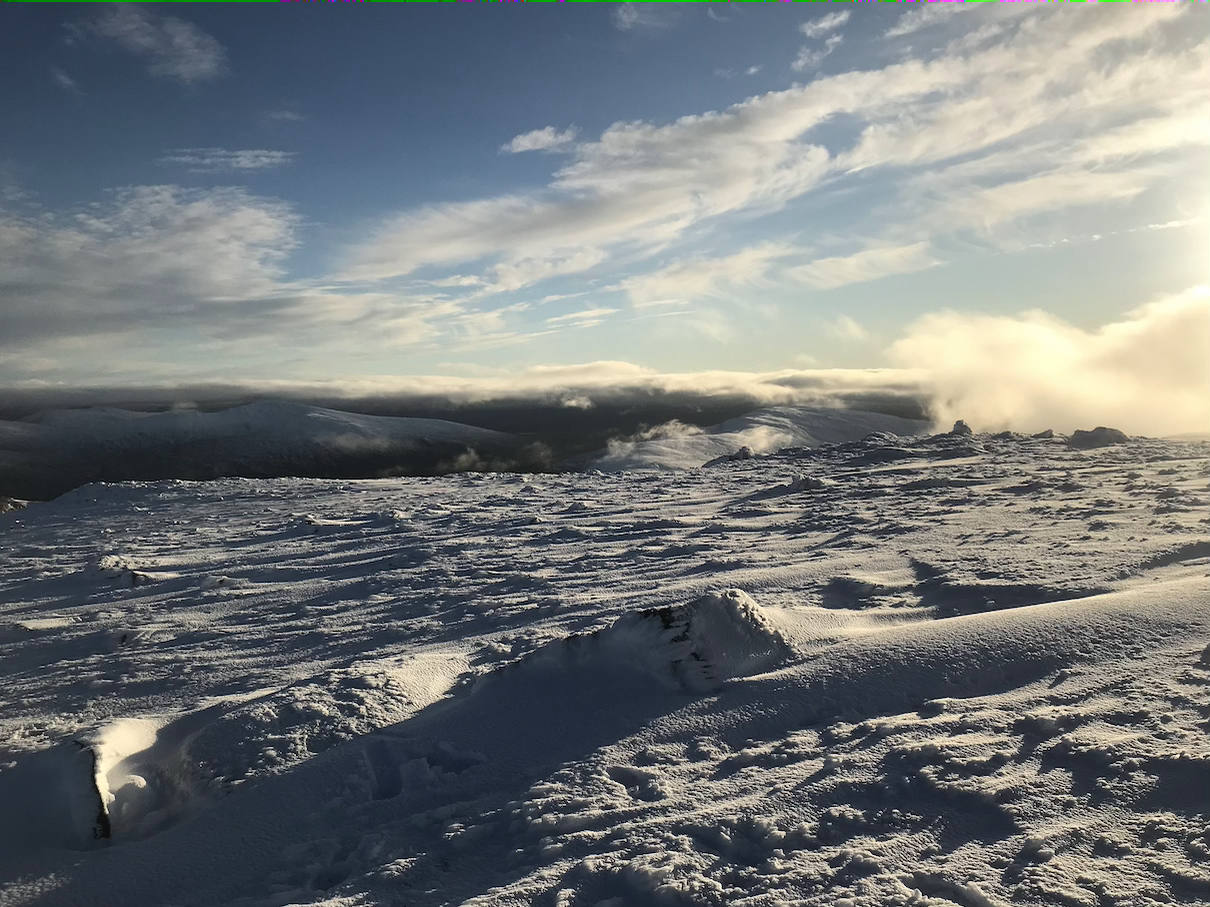
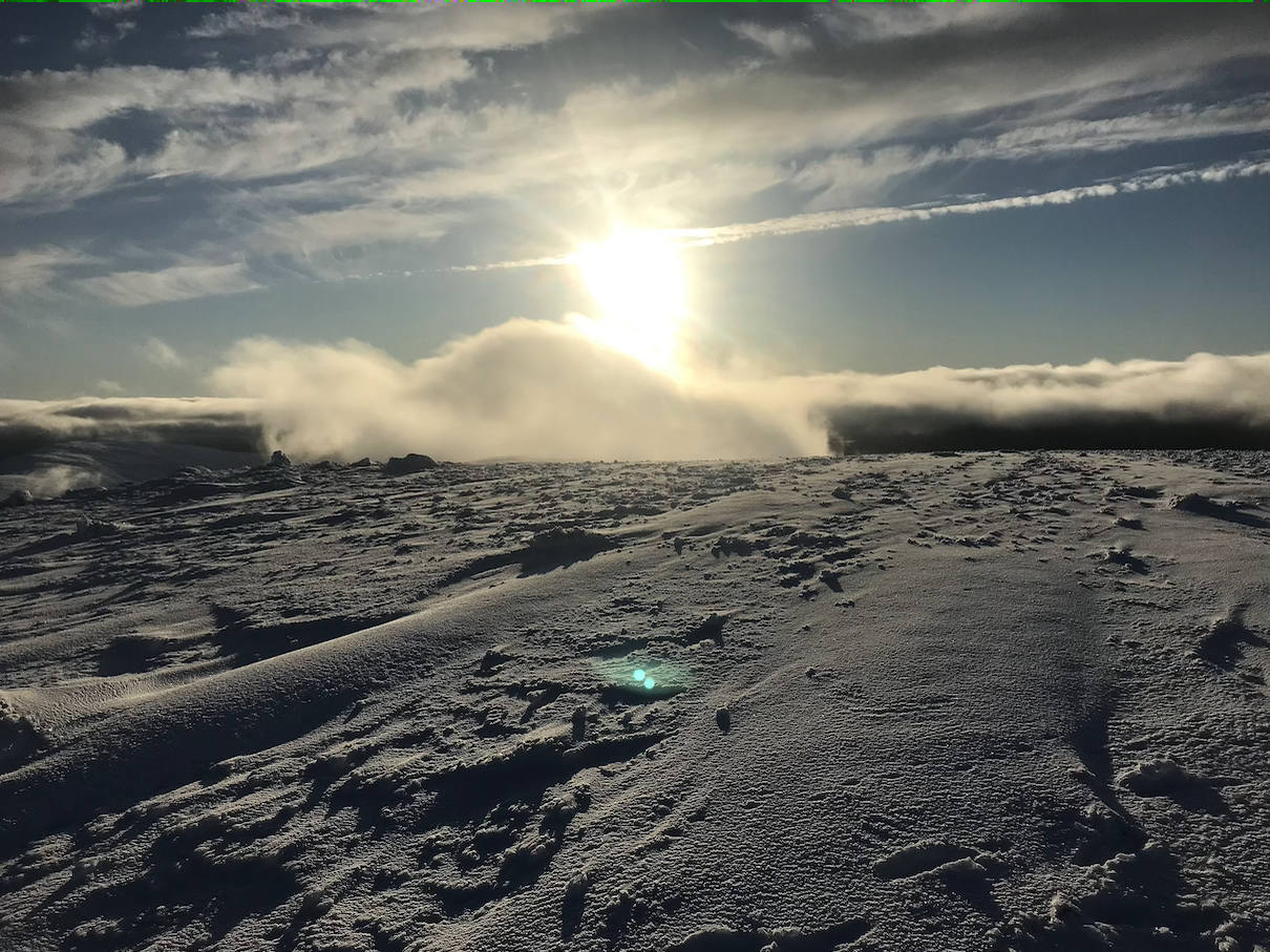
Weather and Ground Conditions : Calm at start, light, occasionally moderate N breeze on exposed aspects at altitude. No precipitation. Patchy cloud cover mainly above the summits, but lowering at times obscuring visibility, which was otherwise moderate, mainly good. Sunny intervals and good views of nearby hills and occasionally those more distant. Ground conditions very boggy below the snow-line at about 550m. Unfrozen snow-cover throughout above this altitude, to a depth probably up to 600mm, made hard going everywhere except on rocky exposed areas swept by recent winds. No obvious accumulations that would have posed a risk of avalanche.
Walkers : Andrew, Gabi, Jane, Trl
Distance : 15km
Ascent : 1000m
Duration : 7:40 hours
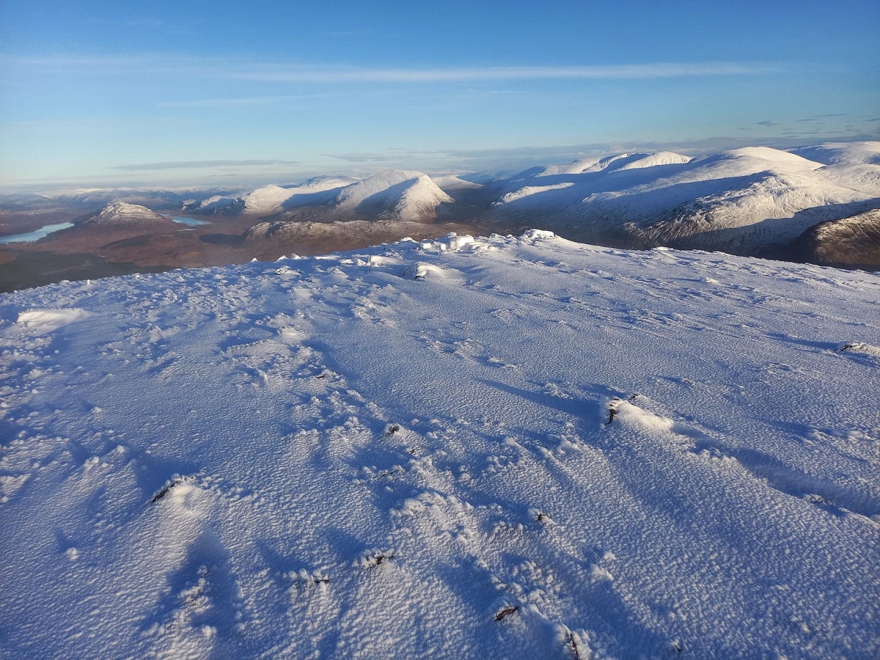
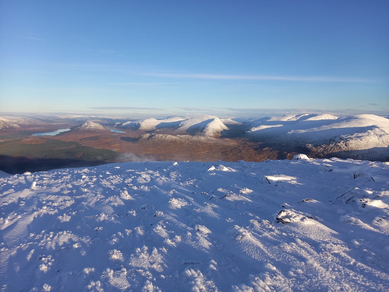
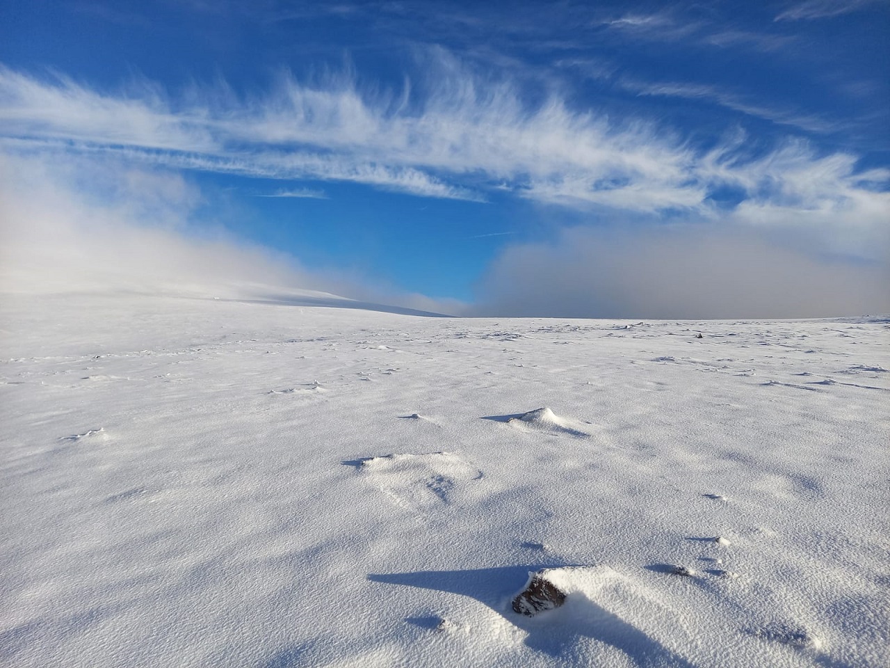
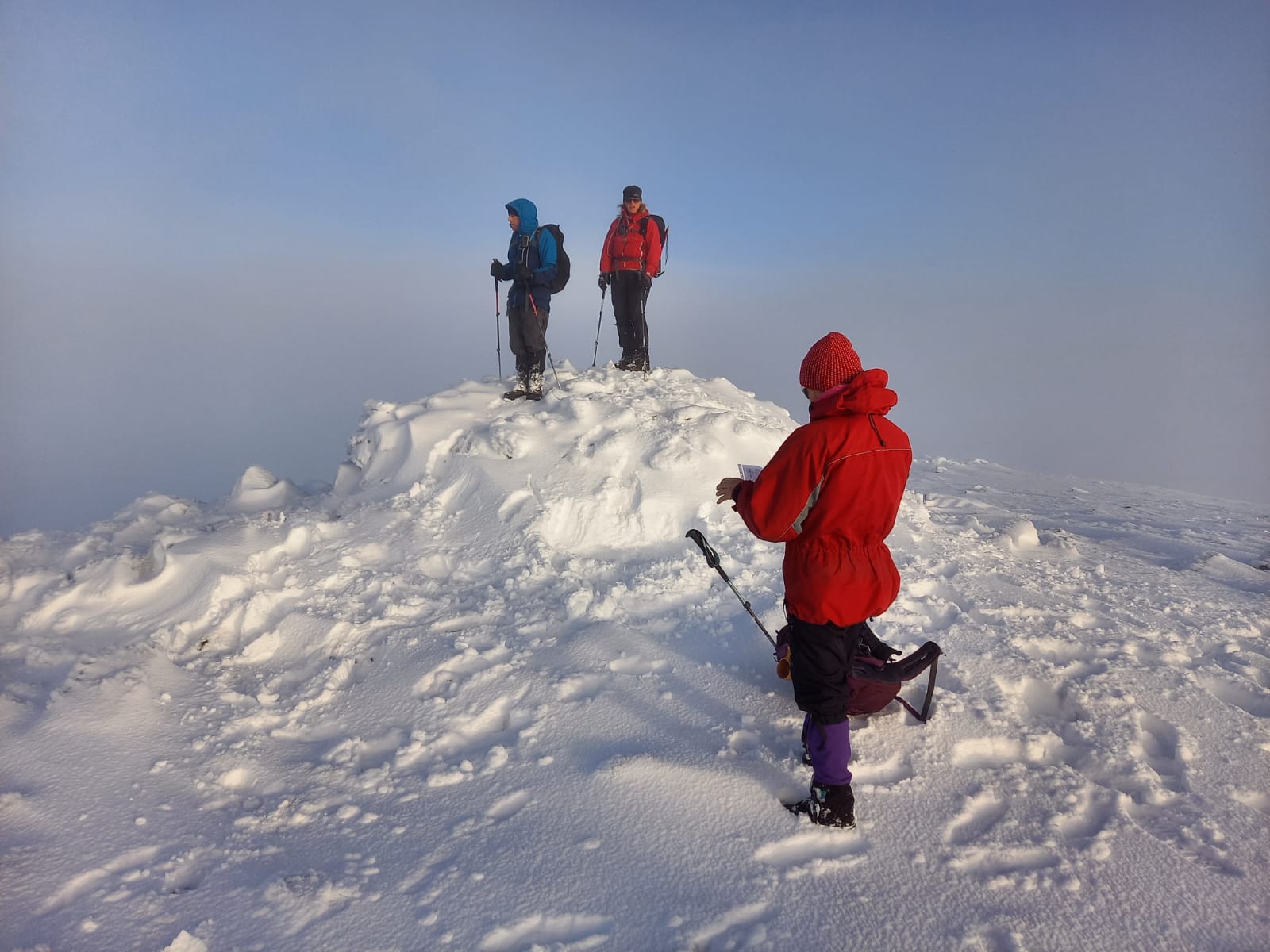
We set out intending to do the programmed route but, although the weather was ideal, the ground conditions made progress slow. Once over Stob Coire Sgriodain, the wide expanse of deep, soft snow ahead dampened the enthusiasm for an ascent of Meall Garbh and we focussed on ensuring we made it to Chno Dearg. Aiming for Meall Chaorach, we descended towards the col, only to be diverted by the numerous peat hags, normally taken in one’s stride, but difficult to negotiate when covered in snow. With sunset predicted for 15:38, we decided to make a bee-line for Fersit, notwithstanding the obstacle of acres of boggy rough ground to cross. Thus omitting both Meall Chaorach summit and Creag Dubh, we headed NW, found a vague footpath following the Allt Chaorach Mor, and joined the mapped track in the glen just S of Lochan nan Caorach. Twilight fading as we arrived at the cars.
Another great day out in spectacular scenery with competent and enthusiastic companions.
Andrew
I enjoyed the day very much. Hard work through the deeper snow but well worth it for the experience and the fabulous views of all the surrounding hills covered in snow. Unfortunately, my phone went dead so I only have 3 photos from the beginning of the walk.
Toril
It was a great walk. What a beautiful landscape and really magical with the snow-covered hill tops. Many thanks for showing me another part of the wild beauty of the Highlands!
Gabi
A second weekend of fabulous walking, feeling blessed 😊
An extremely ambitious day for a winter walk. Sinking into the knee-deep snow with every step was energy sapping making the complete route on the programme unachievable. A few hard frosts would have made the going so much easier. At times it was bitterly cold so extremely grateful for a virtually windless day. Stupendous views, great companionship, it doesn’t get much better 😊😊
Jane
Photos from Andrew:



Photos from Gabi:



Photos from Jane:
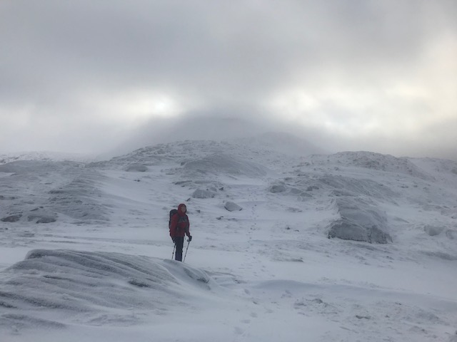
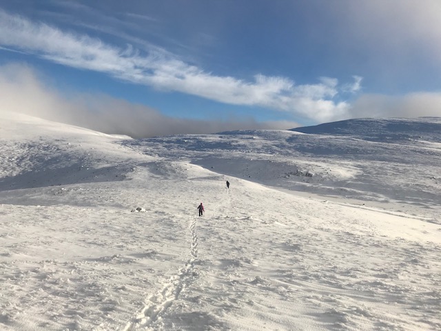
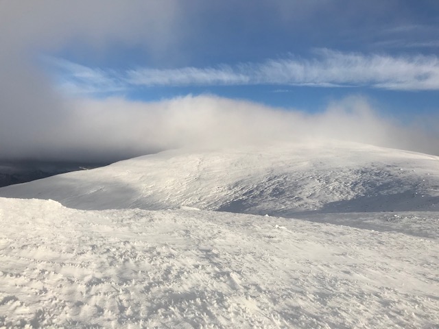
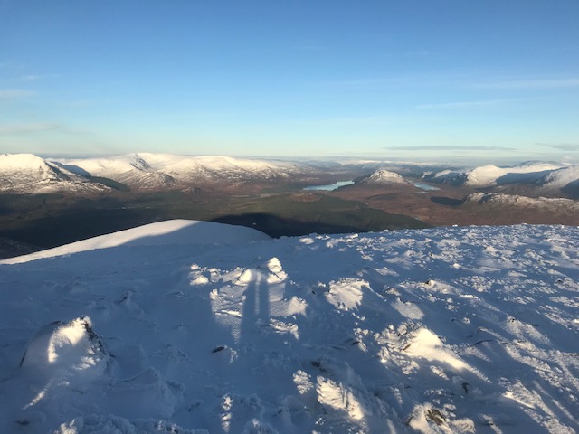
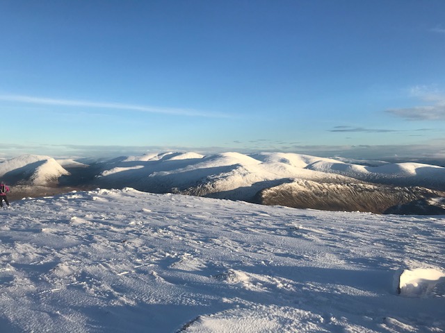
Photos from Trl:


Saturday 28th November — Stob Coir’ an Albannaich and Meall nan Eun, Glen Etive
Weather and Ground Conditions : The light southerly wind made a welcome change. Forecast indicated showers but with the exception of a few drops before the walk the day remained dry. Ground saturated but once on higher ground the walking conditions in the soft snow were excellent. Occasional patches of low cloud but on the whole a clear day with great visibility
Walkers : Andrew, Chris, Gabi, Jane, Rick, Trl
Distance : 21km
Ascent : 1400m
Duration : 8 hours
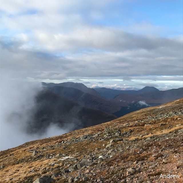
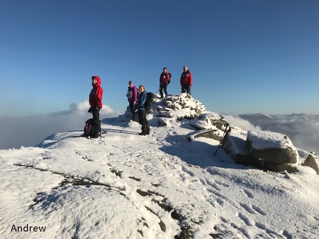
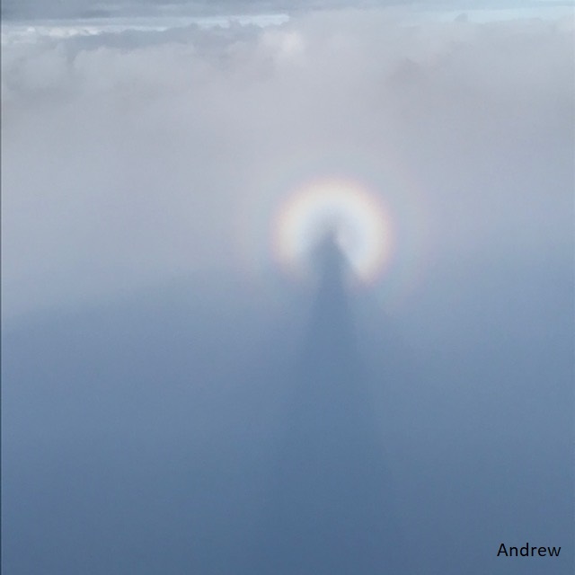
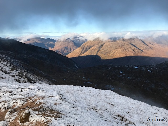
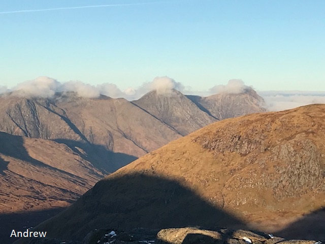
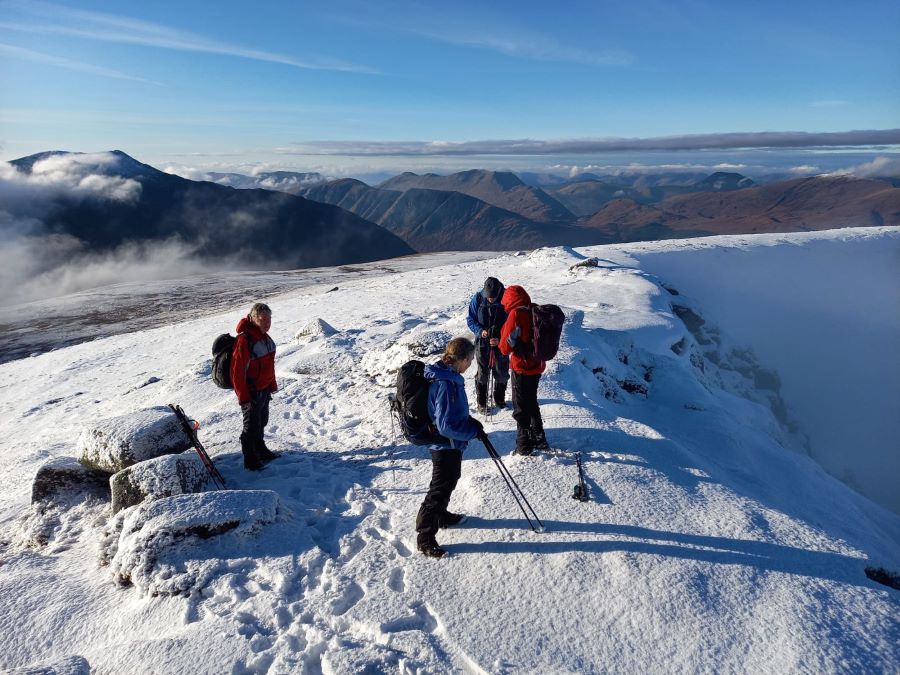
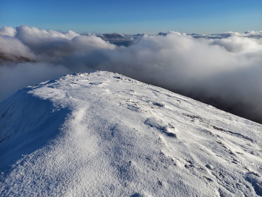
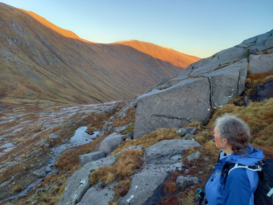
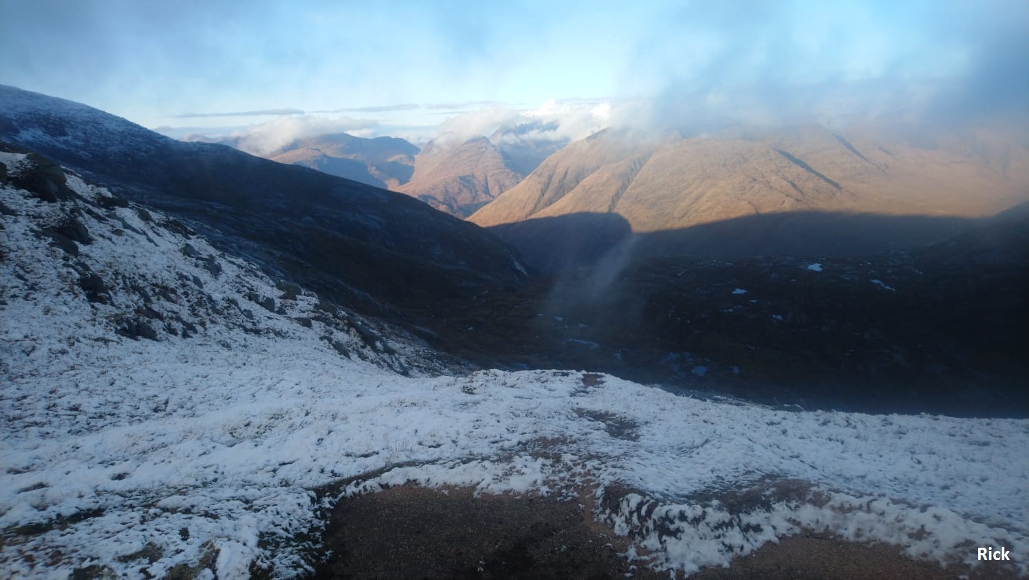
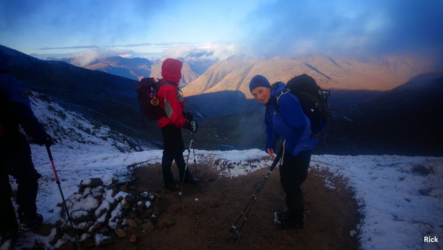
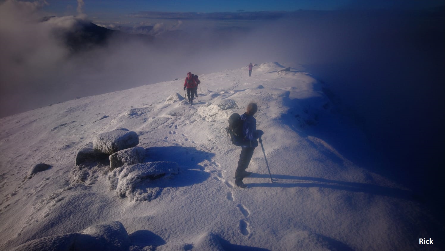
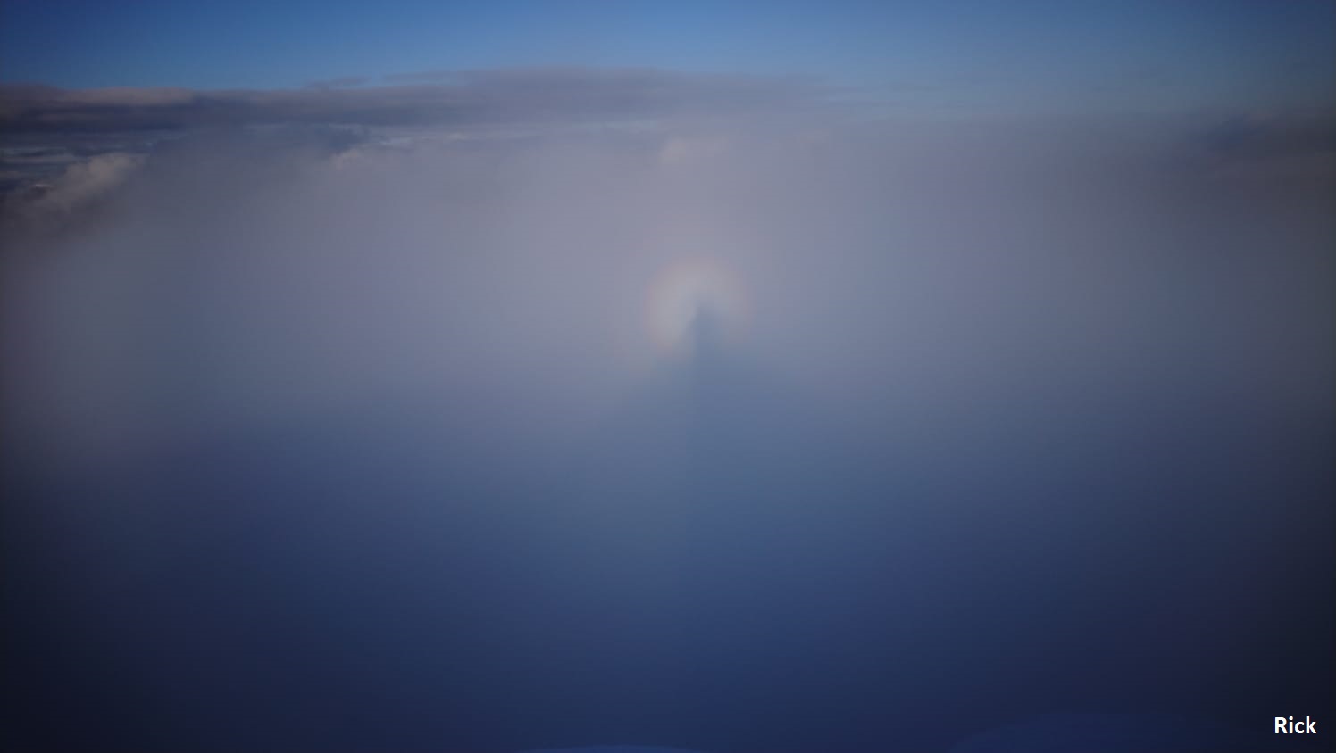
In anticipation of a good weather day and the chance to bag a couple of good munros, six members turned out enduring the long drive to the end of Glen Etive. The ascent alongside the Allt Mheuran seemed to take ages and we were hoping to take elevenses at the col before the final ascent up Stob Coir' an Albannaich. However, at 11.30 we were all hungry and still nearly a couple of km to go. Heading up through the cloud we were rewarded with excellent visibility, cracking views and the feel of the soft snow underfoot. To top it all, the Brocken Spectre in Coire Leacach, a first time experience for one of the walkers made the day especially memorable. Wasting no time, we headed for our second summit of the day. Conscious of the long descent and walk out and the fading daylight we negotiated a tricky, wet and often very slippery descent into Glen Ceitlin. Thankfully the light held out well past sunset and we finished our walk under a starry moonlit sky.
The fabulous weather, the stupendous hills and great company made for a fantastic day (and now I have run out of adjectives). 😊😊😊
Jane
A splendid and memorable day. The highlights for me were:
The cloud lifting off the hills as we laboured up the boggy Allt Mheuran path. Emerging from the cloud-filled bealach onto the snow-covered shoulder of Stob Coir’ an Albannaich, with panoramic views developing. Reaching the summit above the clouds under a clear blue sky. The Brocken Spectres cast on the cloud top in Coire Leacach. The adventurous, snow-covered rocky descent to the col between the two Munros. The tricky descent from Meall nan Eun into the darkening Glen Ceitlein. The full moon rising behind the Lairig Dhochard, with red Mars above the black looming bulk of the hills we had tramped all day without meeting anyone else. The stars appearing, brightest Capella first above Glen Etive, then the constellations. The friendly chatter. The competence and endurance of my companions. Oh, and it was not Venus that appeared from behind Ben Starav as we approached the cars - it was bright Jupiter accompanied by the fainter Saturn as they followed the setting sun down in the southwest, getting ever closer until their conjunction at the winter solstice this year on 21st December.
Andrew
Photos from Andrew:
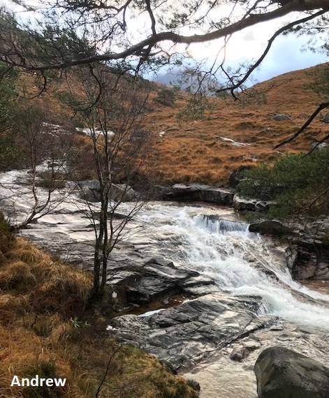
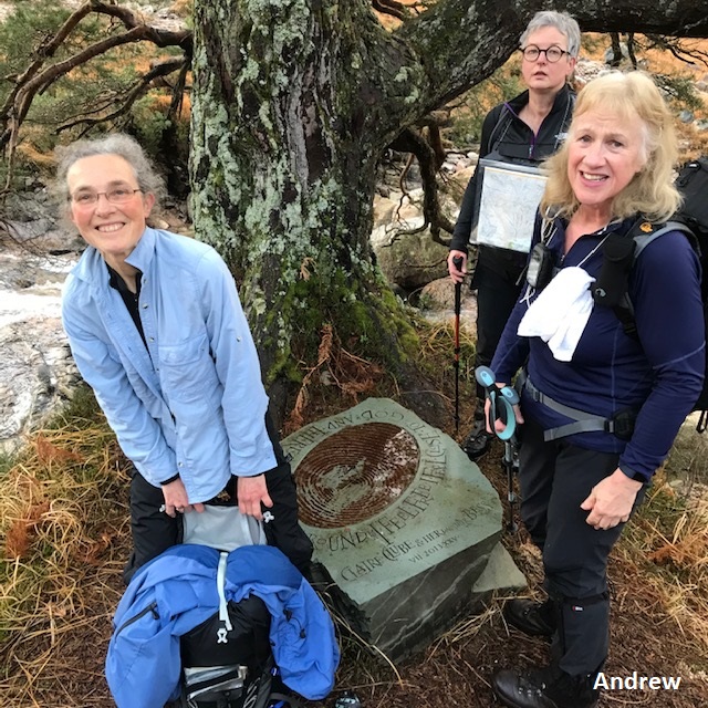
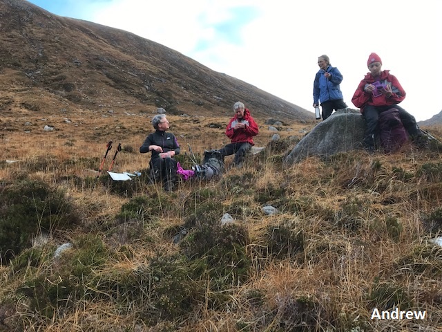

Photos from Gabi:


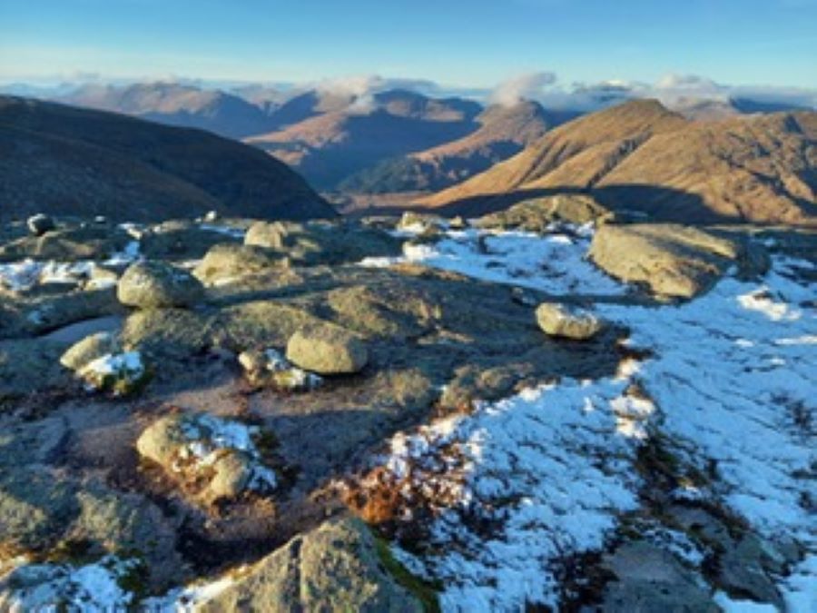
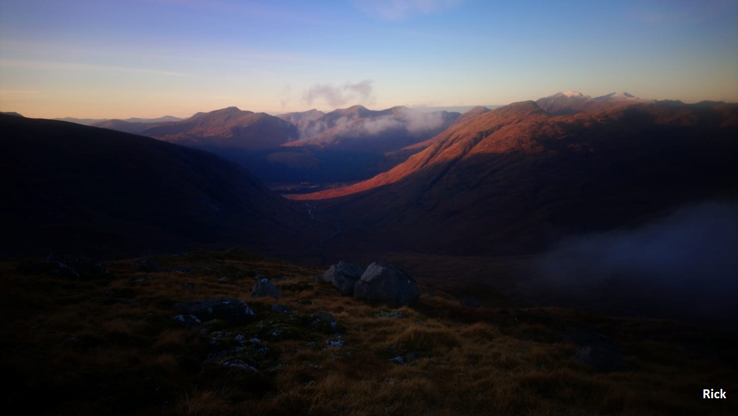
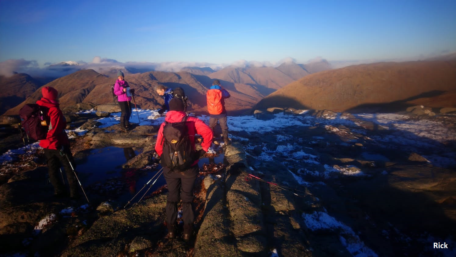
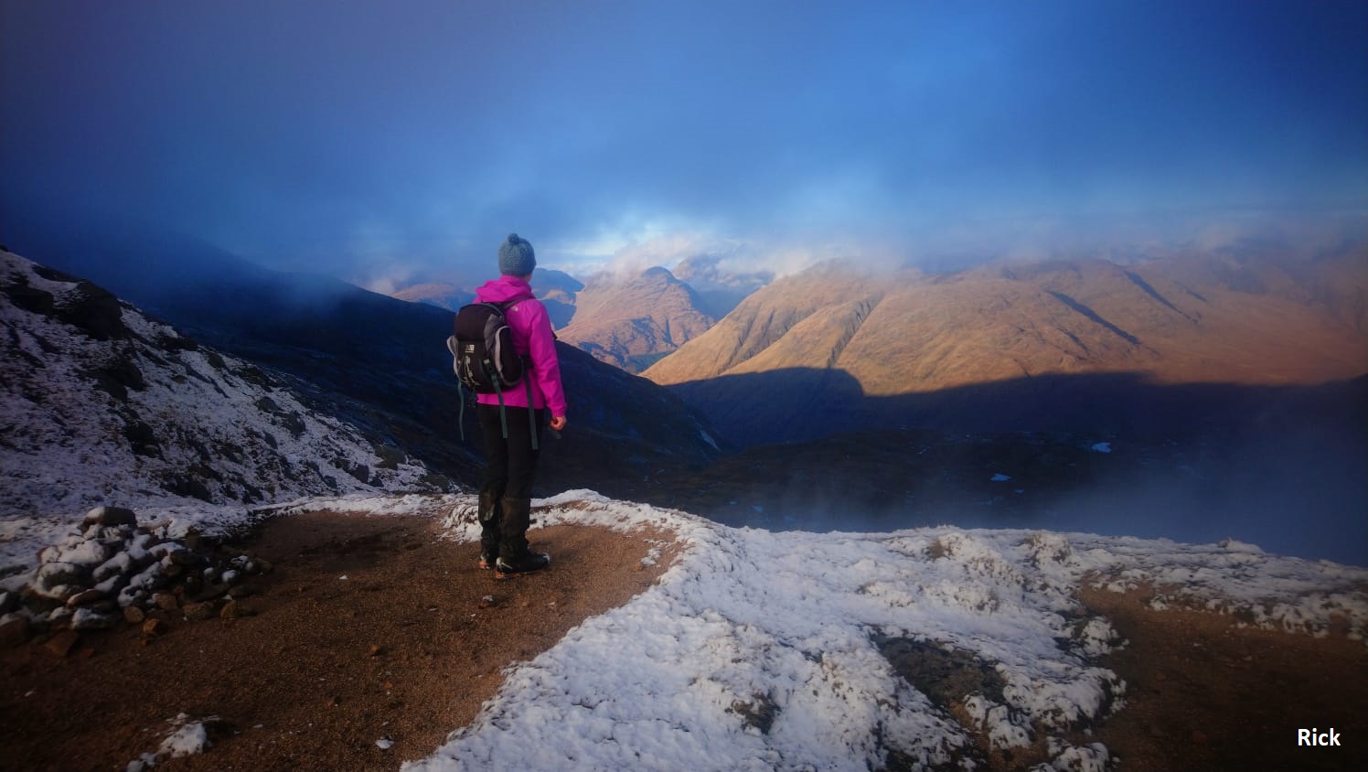
Photos from Rick:

Saturday 14th November — Meall Lighiche, Glencoe
Weather and Ground Conditions : Wind SE 15-25 mph backing E. Fine drizzle down to glens at first obscuring visibility. Cloud lifting to above Corbett height as the day progressed. Patches of sunlight here and there and some blue sky seen at times. Rain showers becoming less frequent. Visibility becoming good below cloud base. Ground saturated, running with water in places. Burns high with white water, easing during the day.
Walkers : Andrew, Jane
Distance : 12km
Ascent : 800m
Duration : 4:50 hours
Original programme was for Beinn Achaladair and Beinn a’ Chreachain but with the very poor forecast and particularly the anticipated high winds there was a change of plan and a walk in Glencoe was substituted.
Maybe due to the poor forecast the attendance was low and only two members turned out.
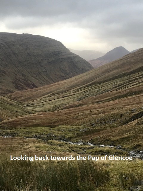
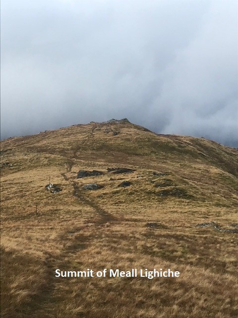
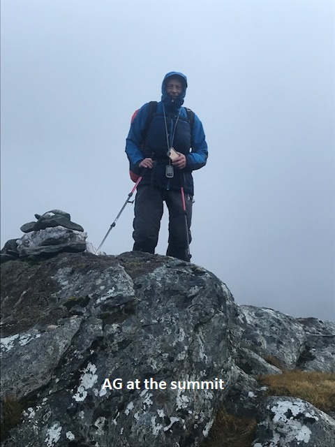
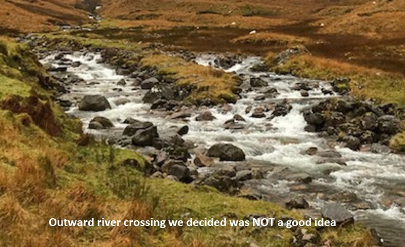
Easy parking at Achnacon before crossing the A82 to make our way into Gleann Leac na Muidhe. A decent track took us to the river crossing point, however we decided a river crossing at this point would be unwise and we decided to adapt the route and head clockwise up to the Bealach Easen and approach the summit from the south east. By the time we reached the bealach the weather improved significantly, even allowing us a view of the cloud free summit. Plain sailing from hereon and we reached the summit in the dry and with a few moments of sunshine. On the return route we slightly misjudged the nose of the north ridge of Creag Bhan and lost height a bit too soon and paid the penalty with a steep, wet and very slippery descent but at least an easier river crossing, most likely due to the improving weather situation.
Our determination to get out a do a decent walk paid dividends and we were rewarded with decent weather, good views and a good hill in the bag.
Jane
Weather rather better than forecast. Less rain and less wind, backing wind possibly indicating a low or a front passing well S of us. Fording the Allt na Muidhe in the morning was deemed inadvisable. We decided to do the route in reverse. We found it still difficult to cross even in its upper reaches. Forded it with care at the usual place in the afternoon after the return descent.
Andrew
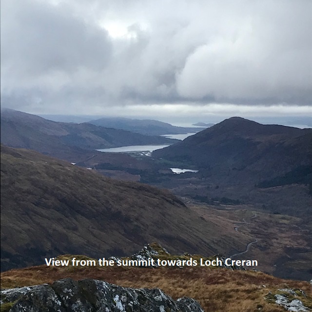
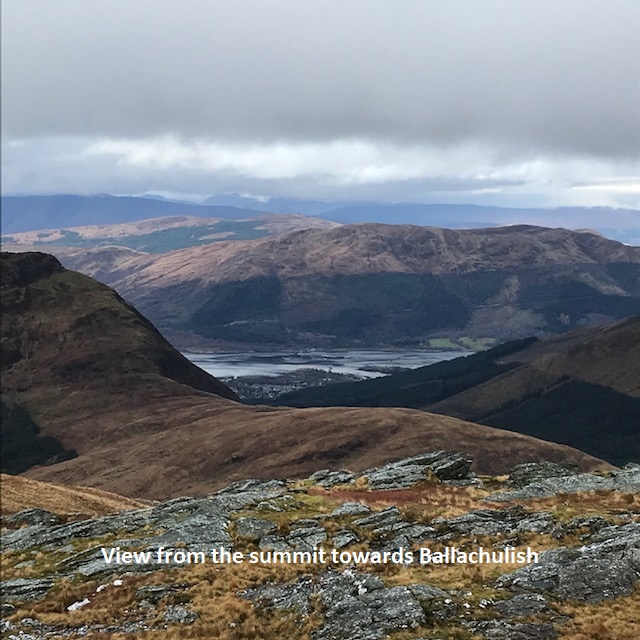
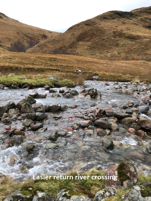
Sunday 8th November — Beinn Odhar Mhor, Beinn Odhar Beag & Beinn Mhic Cedidh, Glenfinnan
Weather and Ground Conditions : 4 degrees when we set off, increasing as we ascended to about 9 degrees. Overcast sky with high cloud which steadily lowered as the rain came in. We had our first shower at about 10.30 am (just as we stopped for a snack). The rain showers cleared after lunch and, although most of the tops were clear, it was quite hazy. The ground conditions were waterlogged and quite boggy in places (particularly lower down). The advantage of an ATV track, picked up on the descent, was negated by the fact it made the ground really slippy.
Walkers : Andrew, Gabi, Jane, Liz, Ken, Rick, Trl
Distance : 15km
Ascent : 1300m
Duration : 7:10 hours
We followed the walk as outlined on the programme until the very end. We followed the ATV track up to the road and like the others found this to be unproblematic as there was a nice wide verge alongside the road for most of the way. Just as well though as the traffic is pretty fast along that stretch. No problems encountered en route. We appreciated the views down Loch Sheil as we ascended Beinn Odhar Mhor. Andrew & Jane decided not to continue up the 3rd summit of Beinn Mhic Cedidh and descended down into Coire Buidhe. Typical Corbetts; rough ground and a lot of up and down.
Liz
We were expecting a drier day with good visibility but the sky was overcast with high stratus which steadily lowered. We had the first shower about an hour into the walk and some peaks were obscured by cloud. At the second summit, Beinn Odhar Bheag, we were all together for lunch but during the descent to the Bealach a’Choire Bhuide the group was strung out. Jane and Andrew decided to omit the third summit and headed N in to Coire Bhuide. The ground was waterlogged and progress tiring but we made use of a very boggy ATV track, faint at first but easier to follow in the lower glen. We stopped a couple of times and expected to meet at least the fastest ones at the foot of the glen, but there was no sight of the rest of the party. We deviated from the last part of the route described and followed the ATV track out to the main road at NM849816. It was not very busy and quite easy walking up the hill on an adequate verge most of the way up.
Andrew
Great to see a good number of members out today. Sadly not the good weather of the previous day, we had to be content with fleeting glimpses of the neighbouring hills. Still have to work up to two consecutive days on the hill. Consequently, the final summit just looked a step too far and with a long walk out a two corbett day did me just fine.
Jane


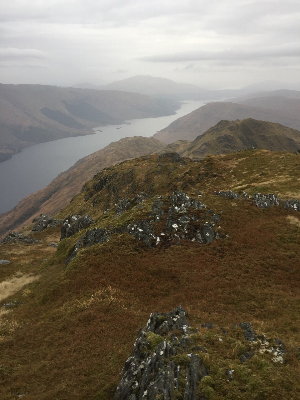
Saturday 31st October — Sron an t-Sluic, Loch Eil
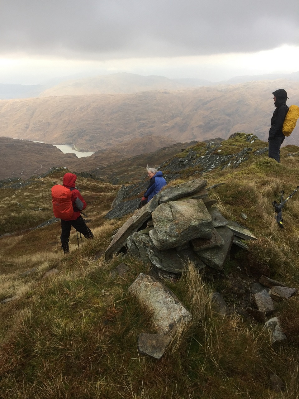
Due to foul weather it was not worth travelling to Lochearnhead for the programmed walk. Jane, Chris and Andrew were mad enough to go out anyway and do shorter, lower and nearer walk — Sron an t-Sluic from Garvan, near the head of Loch Eil. We would have done Meall an Fheidh as well if we had been able stand up on the first summit.
Andrew
Sunday 25th October — Beinn na Gucaig, Inchree
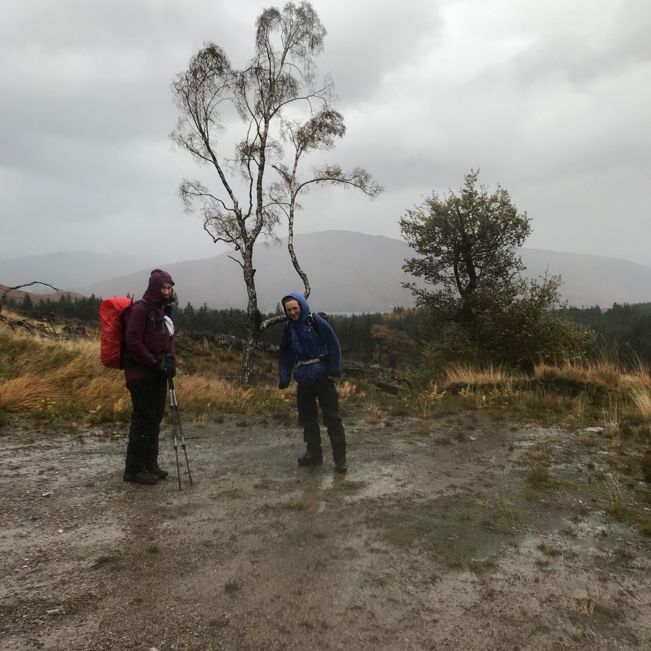
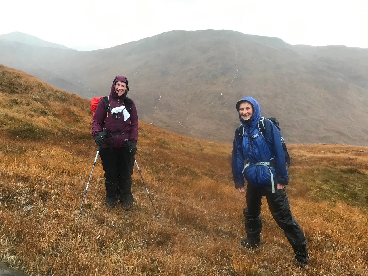
Weather and Ground Conditions : On the day, or at least for the morning the weather was better than the forecast. The wind strengthened as the day progressed and brought the forecasted rain. Off path the going was pretty tough and wet underfoot but the decent forest track back to the car park made a welcome change.
Walkers : Andrew, Jane, Trl
Distance : 12km
Ascent : 1050m
Duration : 5 hours
Original programme was for Creise and Meall a’ Bhuridh but the very poor forecast and particularly the high winds forced a change of plan and a walk starting and returning to the forest carpark in Inchree and taking in Beinn na Gucaig (616m) and Beinn Bhan (397) was substituted.
In true Nevis Hillwalking Club spirit three members turned out for the alternative walk and despite the very poor weather forecast we were rewarded with reasonable weather for a significant part of the day.
Once we had left the forest track above the waterfalls we saw nobody on the hill so no urgency to hurriedly don the face covering. We had hoped to find a bit of shelter by the timber hut at the mountain rescue relay station for a short drink break but it is no more!!! and has been replaced with a small metal cabinet so we had to satisfy ourselves with a sheltered spot on the lee side of the ridge.
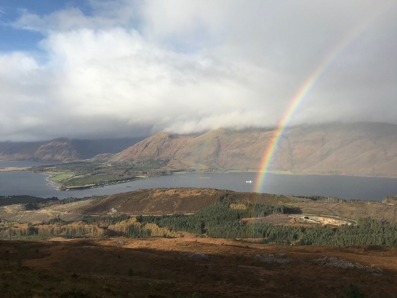
A stunning rainbow over Loch Linnhe made for a great photo.
As we continued up the ridge, we felt the wind veering and strengthening and the dark clouds and rain falling across the loch advanced towards us. As the views disappeared, our pace quickened. Leaving the summit of the Graham, we headed over the switchback of tussock and bog to the final lowly peak of Beinn Bhan. Turning into the wind we felt its full force before descending to the forest boundary. Grateful for a previous GPS waypoint from Andrew to help us locate the track back to Inchree we hit the track with pinpoint accuracy.
Jane
It was good to get out and do something in spite of the adverse forecast for Creise and Meall a’ Bhuridh. A mixed bag of conditions with some sunny periods, strong cold SE wind and face stinging rain.
Andrew
.jpg)
Saturday 17th October — Raven’s Rib, Carn Dearg and Ben Nevis
Weather and Ground Conditions : No precipitation. Calm in the glen, light NE breeze above the treeline. A band of cloud between 800m-1000m alt reduced visibility, which was otherwise excellent under a clear blue sky.
Walkers : Andrew, Gabi, Jane, Madi, Rick, Wesley
Distance : 14km
Ascent : 1550m
Duration : 9:15 hours
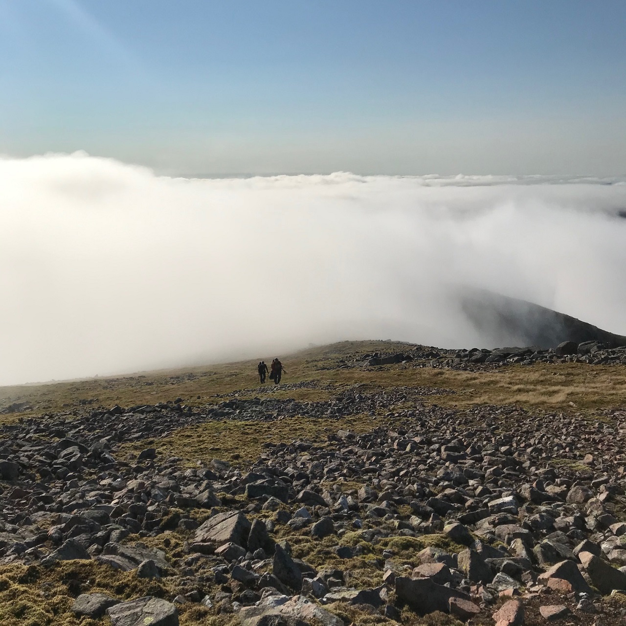
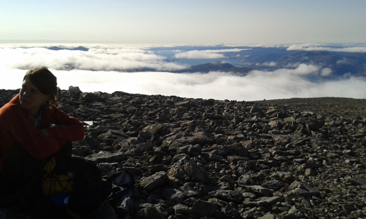
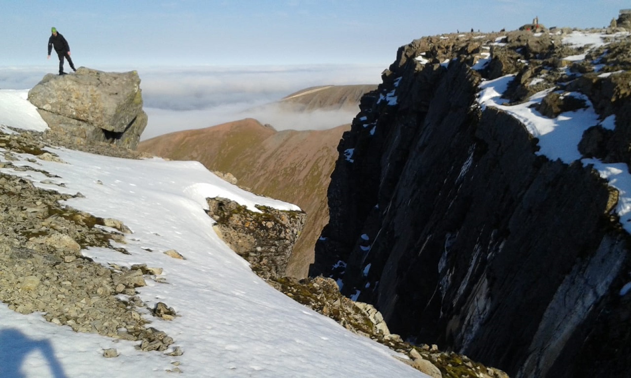
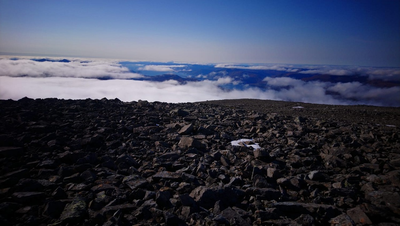
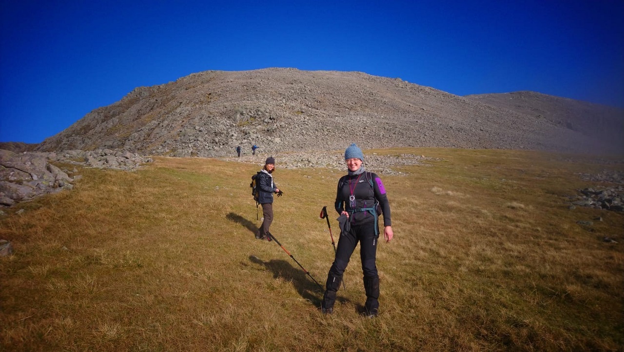
There were two issues to keep in mind. None of us had done the route before, so we expected to spend some time route finding up a long, steep, rough and pathless approach to the first summit of Carn Dearg. The excellent weather would attract hundreds of walkers to the Ben Nevis summit. We wished to reduce contact with other parties as far as possible, by avoiding the long descent on the tourist route. We therefore started from the Lower Falls car park, NN145683 at 0820, and descended from the Ben Nevis summit by Coire Eoghainn. This gave us a shorter approach to Raven’s Rib, and eliminated the need for a car shuttle at the end of the day.
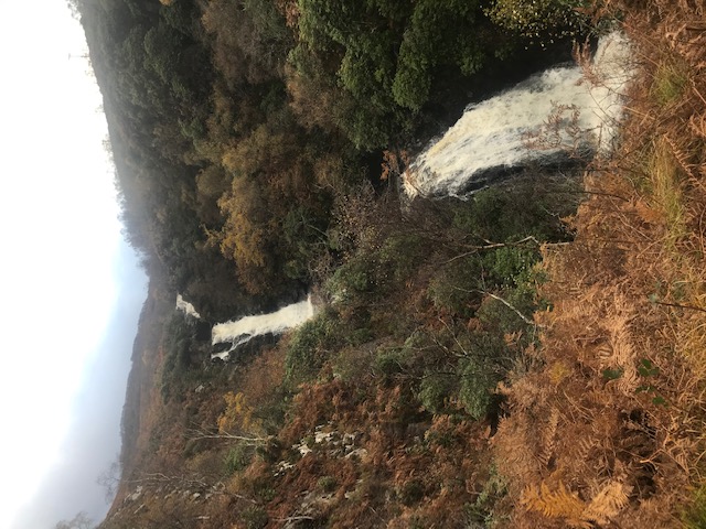
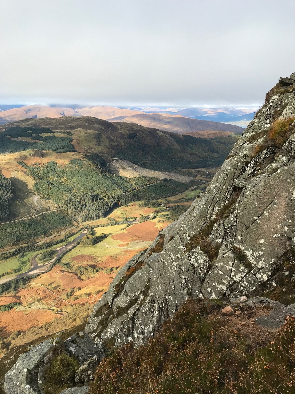
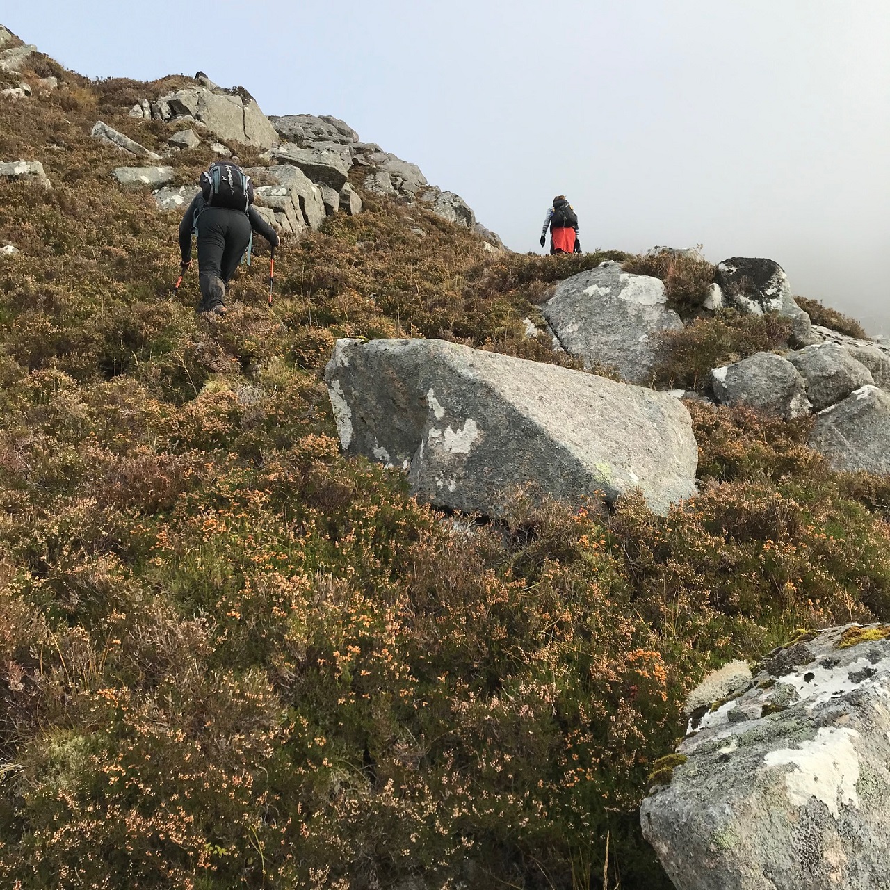
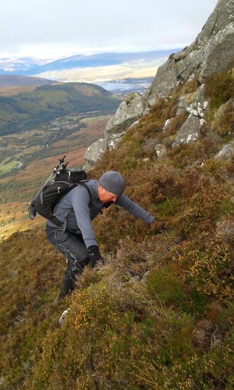
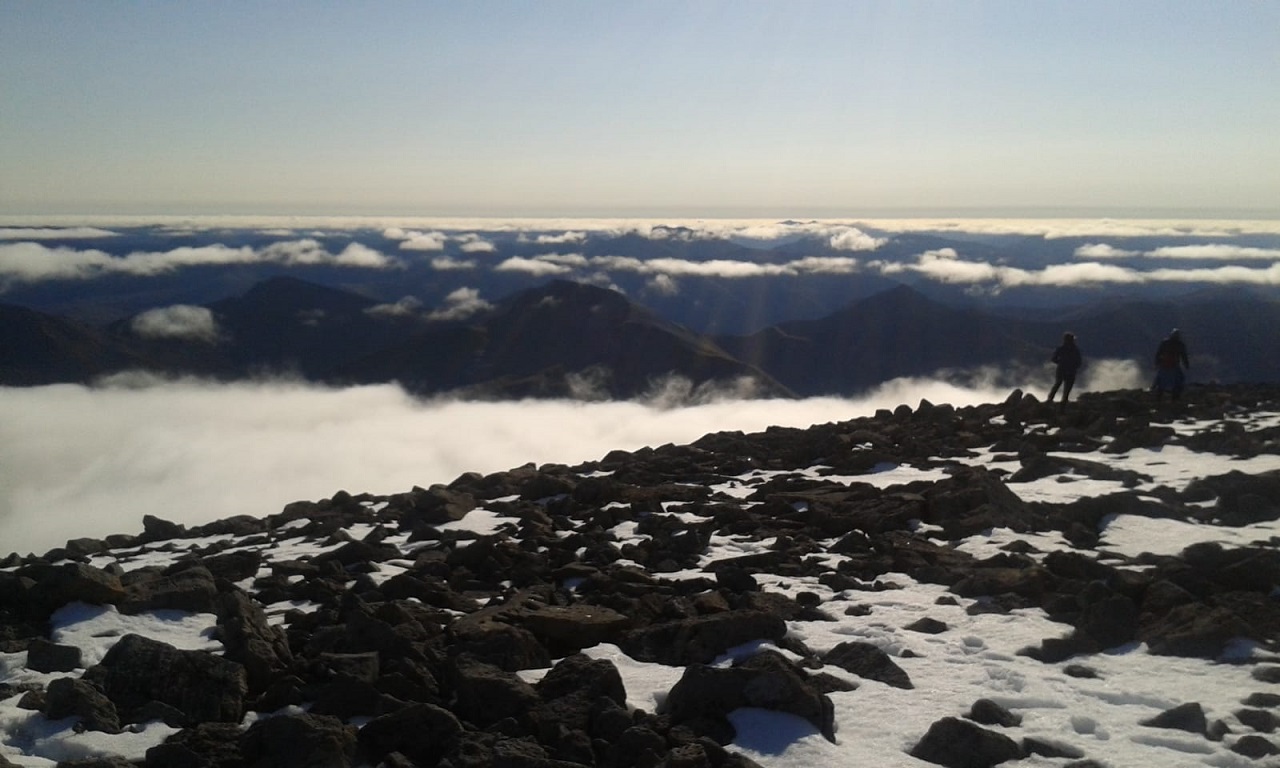
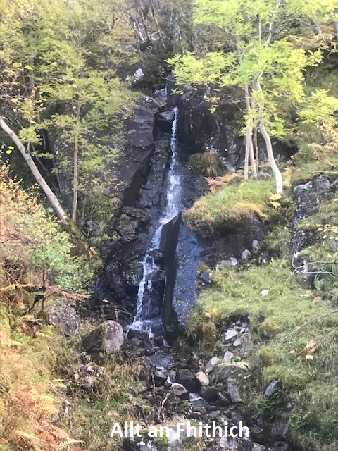
The path on the E side of the River Nevis was boggy but easy to follow. The clearing in the woods ahead, our landmark for the foot of Raven’s Rib was full of mist, so easy to spot. The Rib itself looked impossible. Nonetheless, our newest member and our guest seemed to trust that we knew what we were doing and we turned E across the swampy river flood plain and abruptly up the steep slopes on the N side of the Allt an Fhithich. We were pleased to find a series of animal tracks that led more or less up our intended route. We were aiming to follow the cusp of the rib forming the NW rim of the deep gorge cut by the plunging waterfalls of the Allt an Fhithich. A series of rocky outcrops gave easy scrambling. Some loose sections demanded more concentration. Above the treeline the views were impressive and the rapid gain in altitude exhilarating. Entering the band of cloud there was a distinct drop in temperature and keener wind. The guiding sound of falling water had faded and the gradient eased, so with more attention paid to the compass, we topped out precisely at the summit of Carn Dearg.
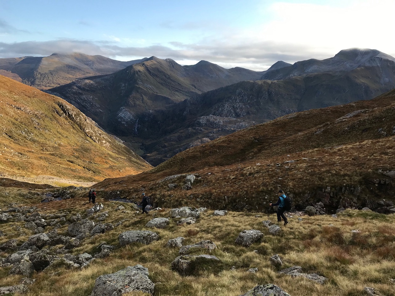
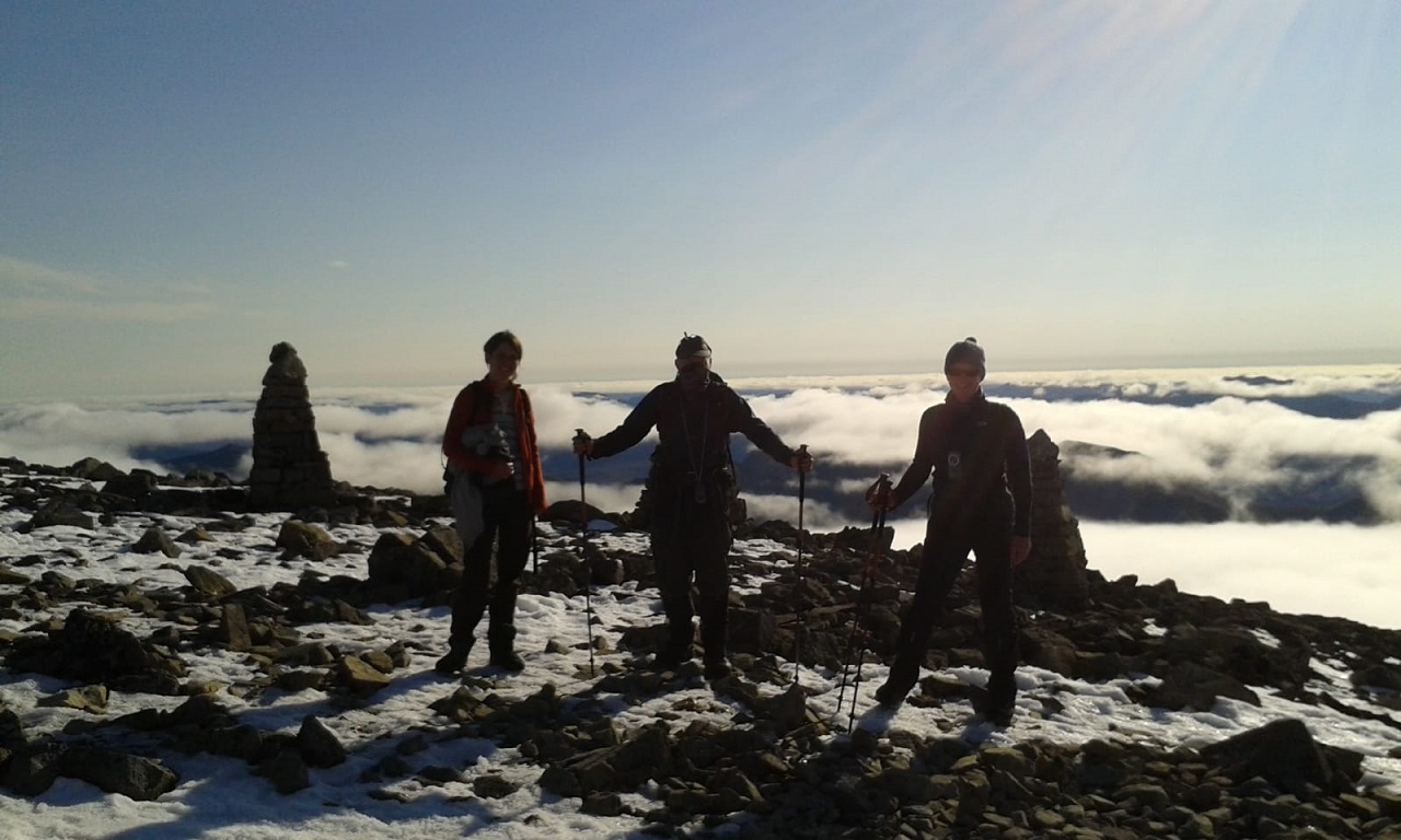
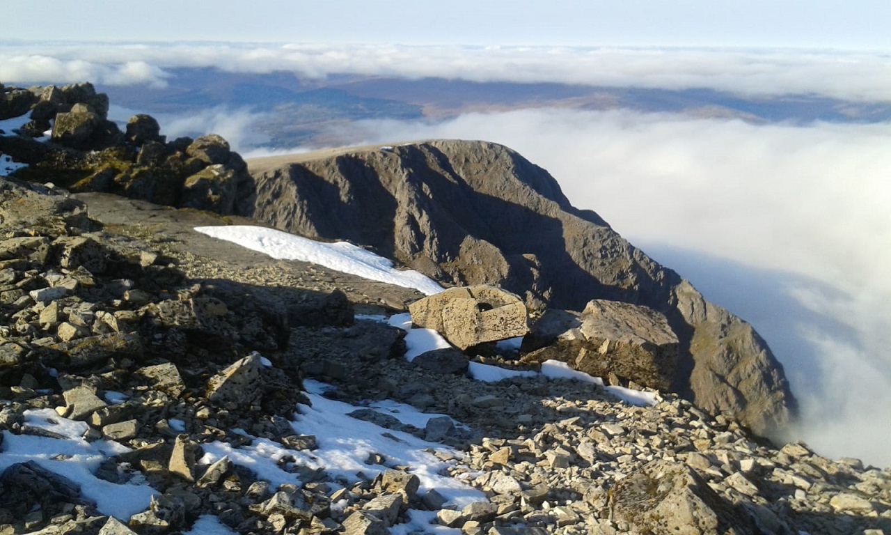
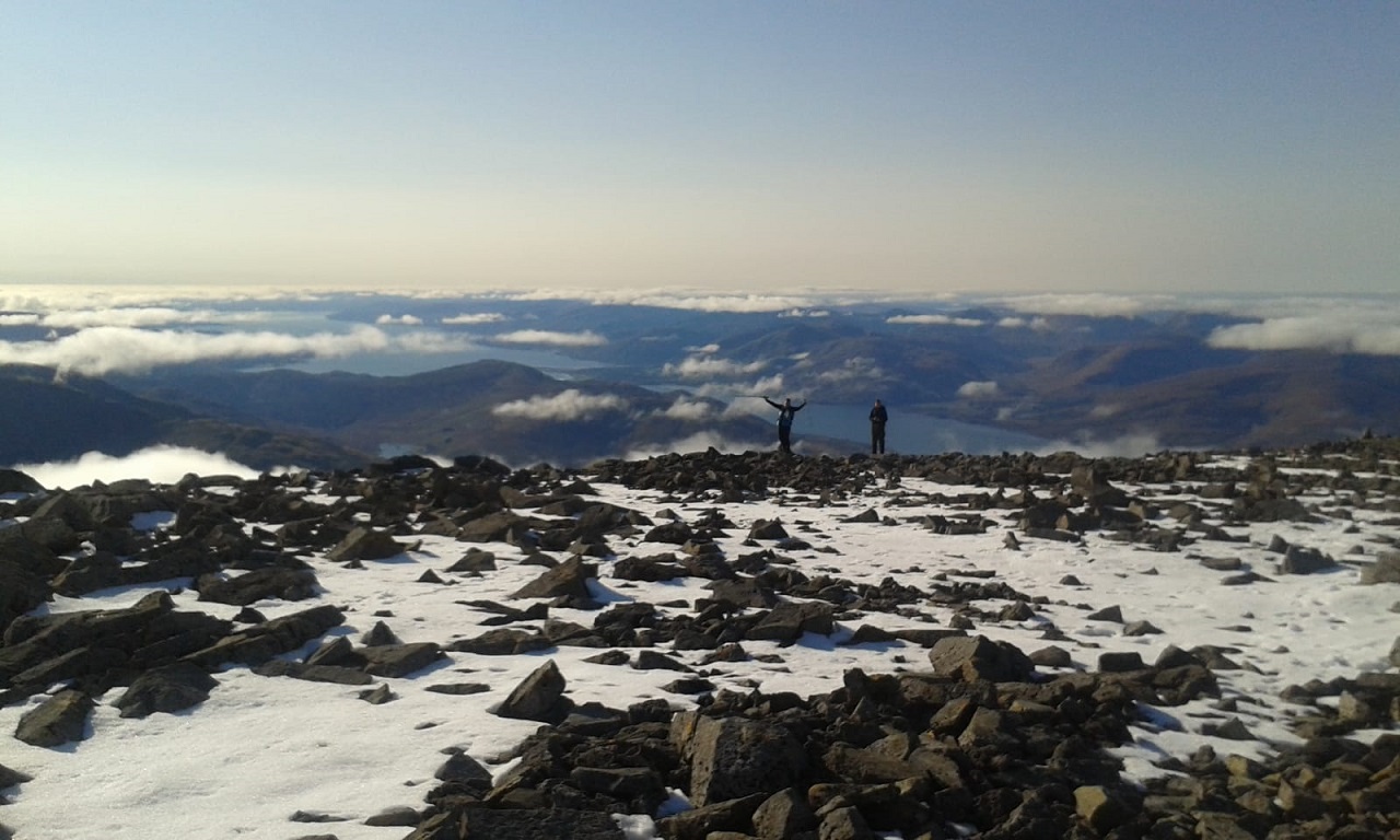
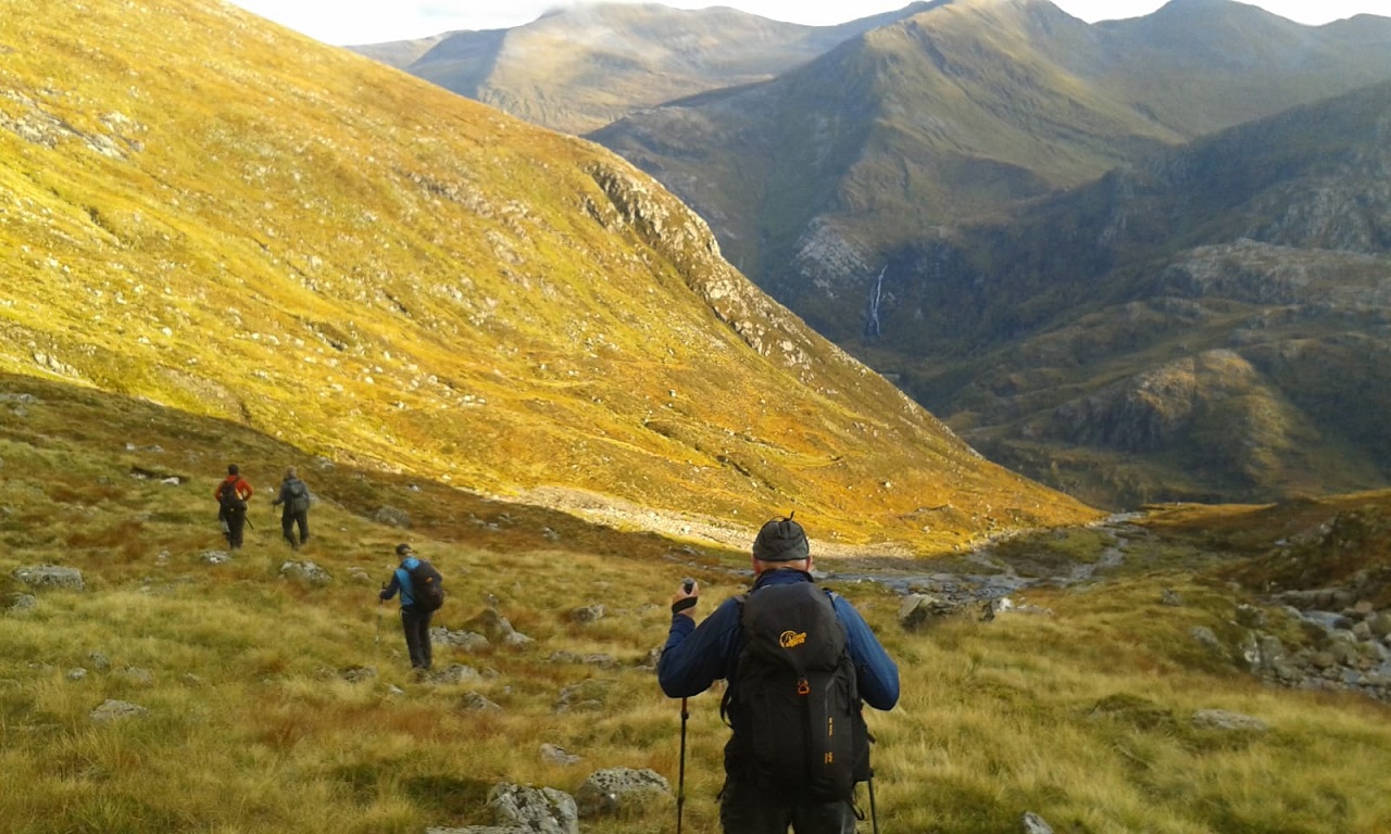
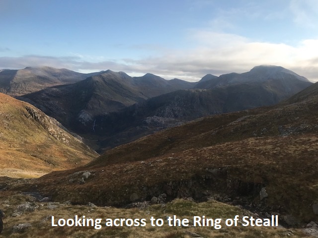
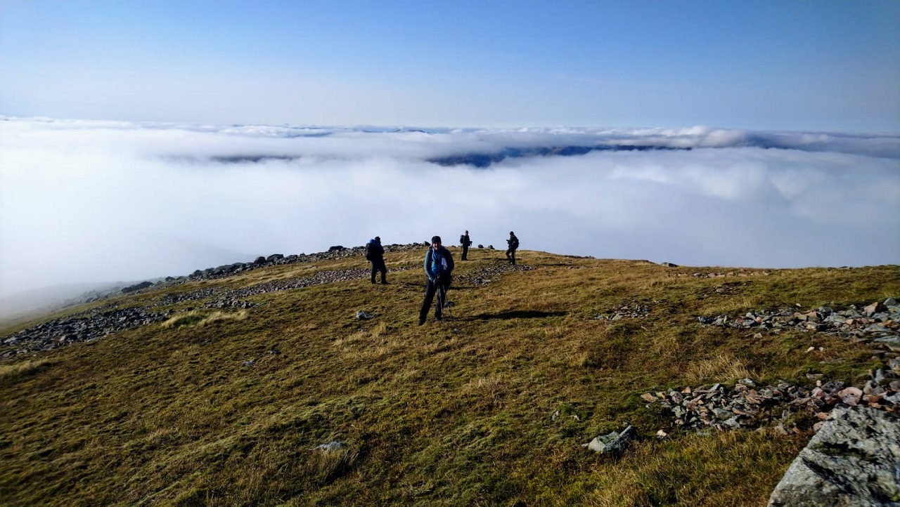
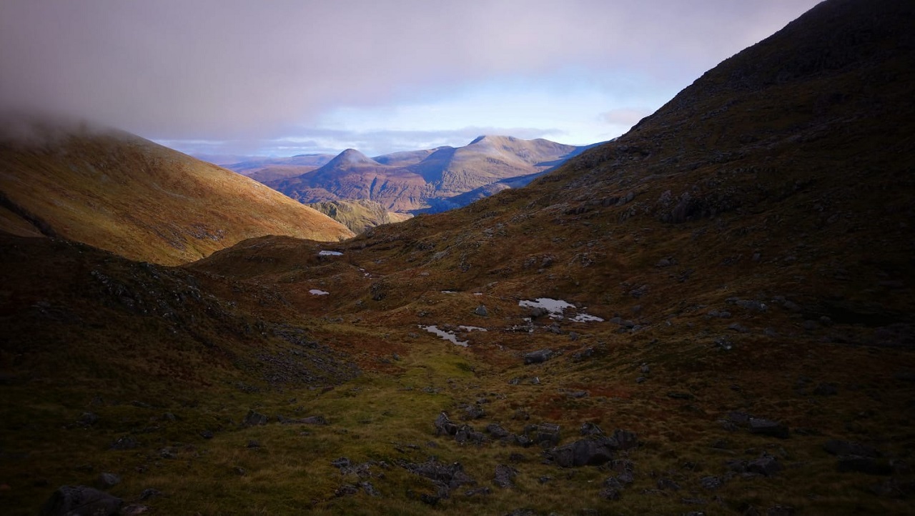
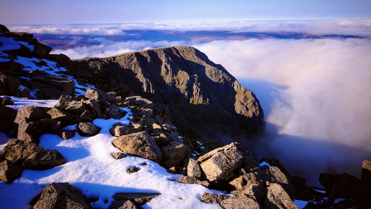
This was enshrouded in mist, but the sun was burning through it, with a blue sky visible overhead. There was no doubt - we were heading next for the summit of Ben Nevis, and were soon well above the cloud tops with grand views all round. For the final push across the summit plateau it was difficult to keep clear of the crowds. However, on the descent we were soon able to curve SW on the old path loop and the babble of voices faded. We retraced our steps down the screes to the col at the head of Coire Eoghainn and turned E down into its shaded cool bowl. Curving S into the sunlit lower corrie, we were treated to the sight of the entire Ring of Steall, framed by the sides of this splendid hanging valley. We stopped at its lip for a rest and refreshments before the final plunging descent to the Upper Falls carpark.
Andrew
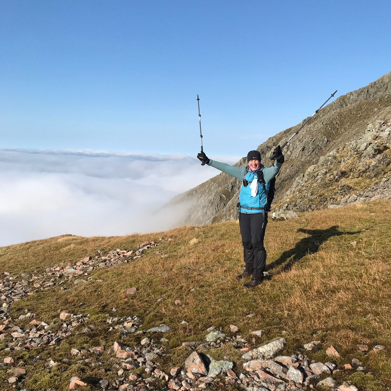
A much better alternative than the inevitably busy 'tourist route' but one when you looked up from the bottom of the glen looked pretty impossible. However, we were able to pick our way through the rocks relatively easily and the welcome bonus of the summit cairn so near at the end of the ascent made a pleasant change. Above the clouds it seemed we were on top of the world with stunning 360° views.
Jane
Photos from Andrew:


Photos from Gabi:
Photos from Jane:

Photos from Rick:

Sunday 11th October — Creag Mhor and Beinn Heasgarnich, Glen Lochay
Weather and Ground Conditions : A promising forecast for a late autumn day. Patchy sunshine and high level cloud ensuring great visibility in all directions with only a few of the higher local peaks having their summits obscured. A very light easterly wind with a slight chill where exposed on the tops made for very pleasant walking conditions throughout the day.
Walkers : Andrew, Gabi, Jane, Rick, Wesley
Distance : 27km
Ascent : 1600m
Duration : 9:30 hours
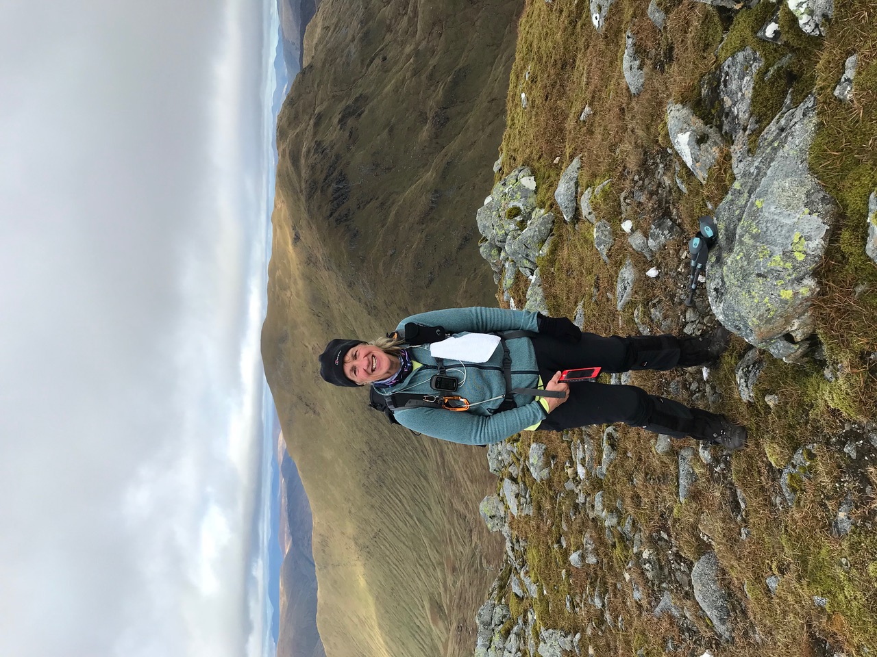
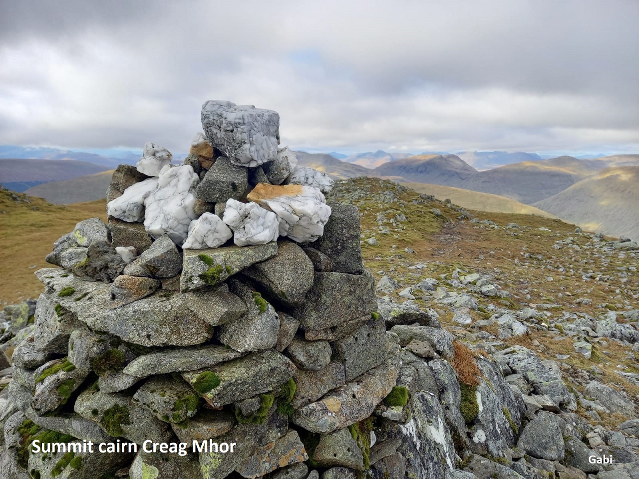
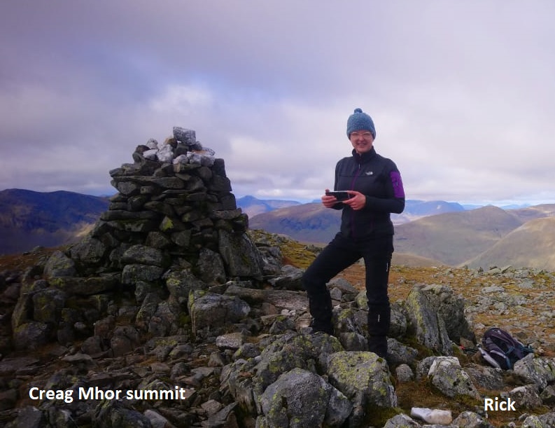
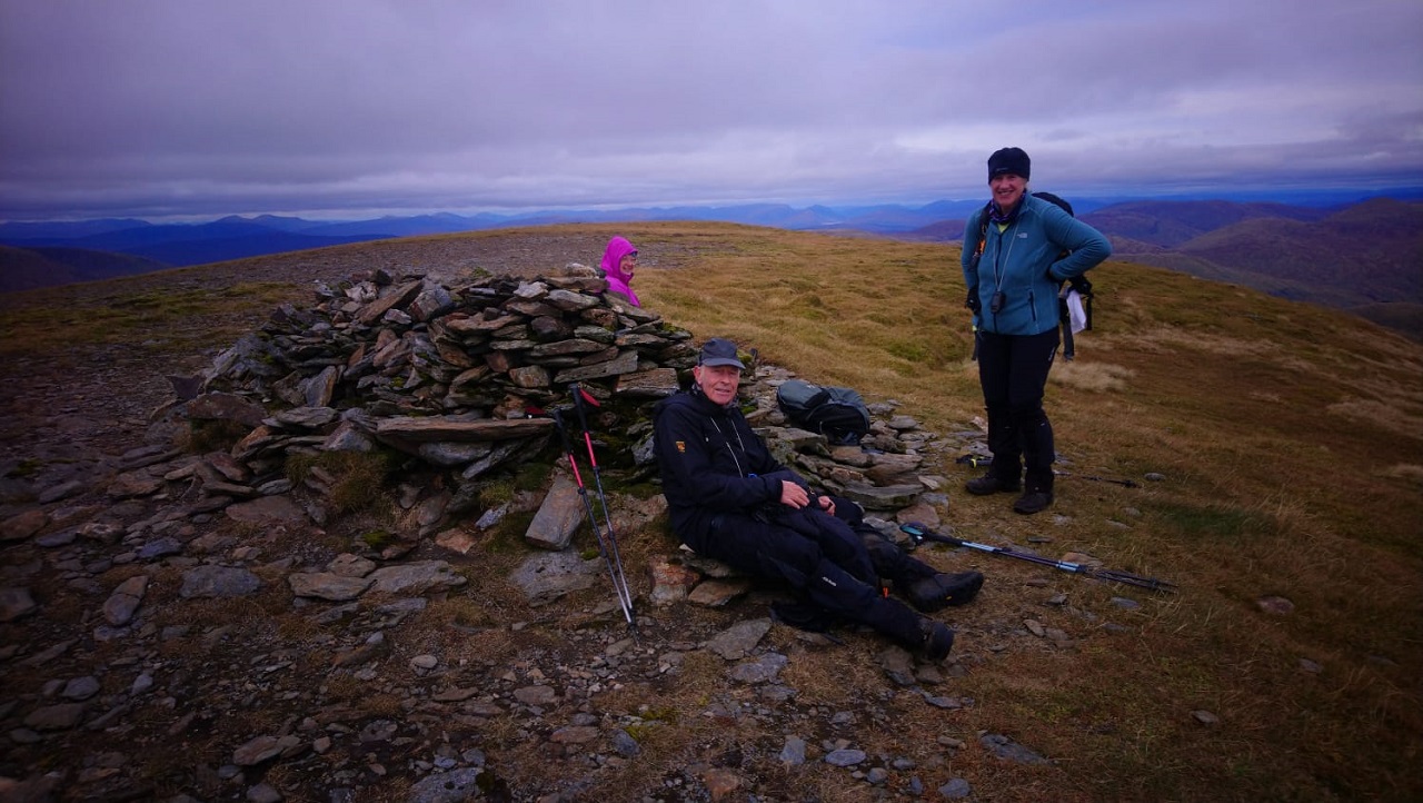
With the promise of a fine autumn day five of us gathered at the end of the public road in Glen Lochay for what has the reputation for being a demanding outing. We made good time along the track leading to where we decided to head up the rough hill side towards the ridge leading to the summit of Creag Mhor. While having our first break of the day, three middle aged walkers came past, they looked as though they had just set off on a walk. We asked them where they had been. They said they had just completed the walk we were setting off to do. They had been on the top of Creag Mhor for the sunrise.
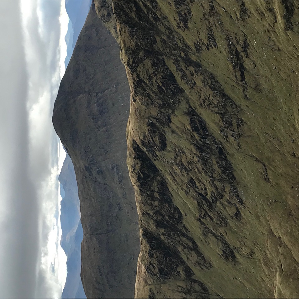
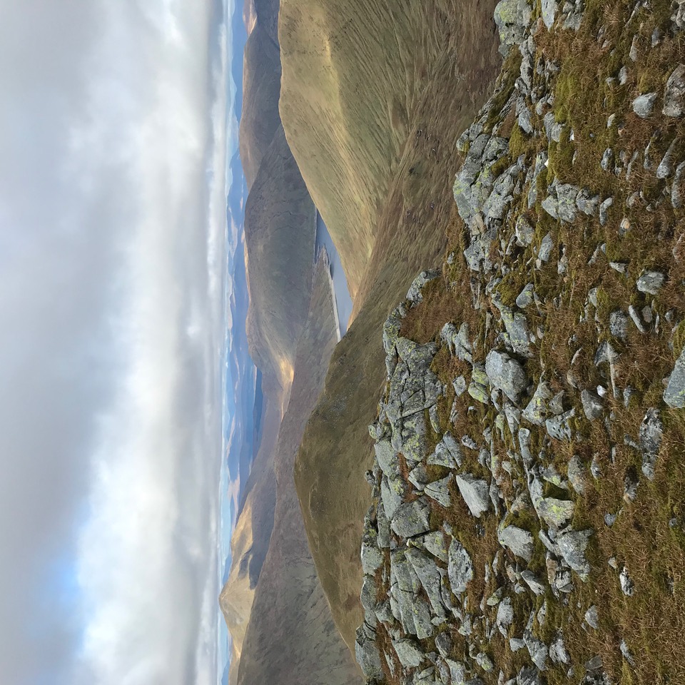
Our brisk pace from the start of the day slowed as the steepness of the ground increased and the hillside became overgrown. Once on the ridge the going improved and we were able to enjoy the views that were opening up all around. The autumn colours made the hill look quite special and the roaring of the red dear stags from all around added that special something to situation.
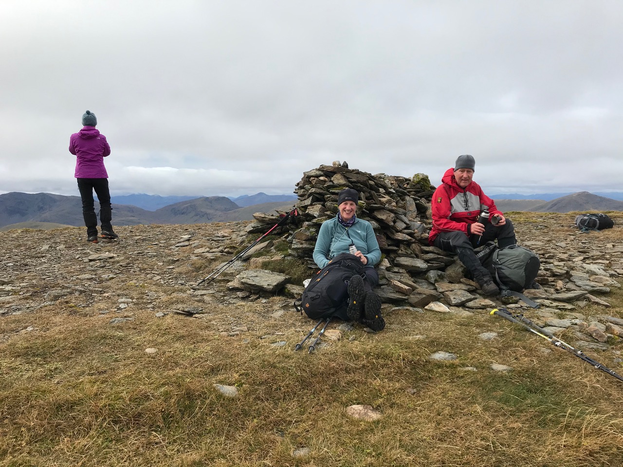
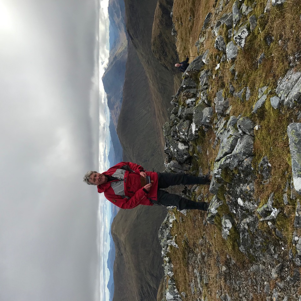
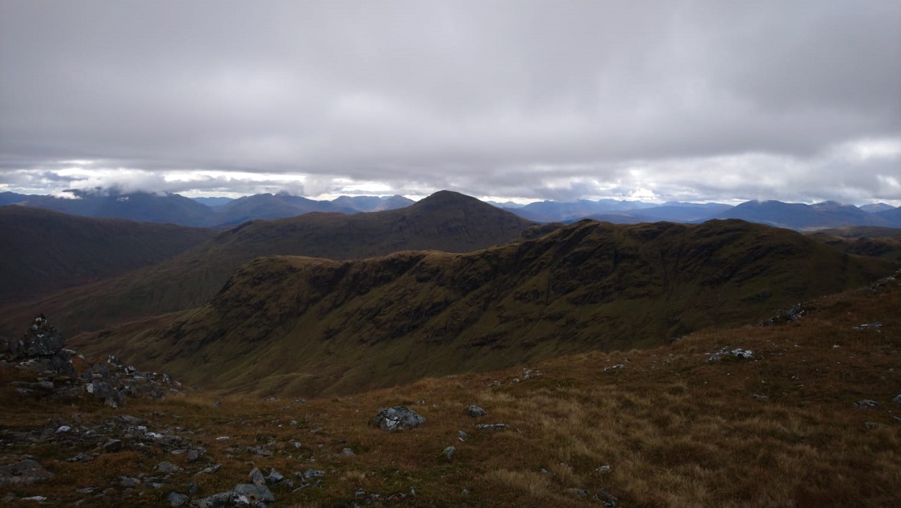
The ridge on Creag Mhor seemed to go on and on but eventually we reached the summit. The views of our surrounding landscapes were mostly uninterrupted. Ben More, one of the hills not far away had cloud on its summit. Elsewhere the broken cloud was well above the tops allowing sun light to break through. It was surprisingly warm out of the wind while we sat having our lunch and enjoying the view. On all of our minds was the surprisingly long drop down to the col between Creag Mhor and Beinn Heasgarnich. During this pondering Wesley announced that he would call it a day and head back down the way we had come up. He had only been out on the hills a couple of times this year and wisely made the choice not to over do it.
It is a unusual way down from the top of Creag Mhor to reach the col. We headed off down the hill in the opposite direction from what felt right. The reason for this became clear as we made our way down, skirting round the mountain top below the rough rocky ground and steep cliff guarding the direct route. Eventually the col between the two mountains appeared and we made our way on down. It was then that the real work of the day began. The climb up the hill side of Beinn Heasgarnich to the crest of the ridge was surprisingly long and steep. Eventually we gained the ridge and were rewarded with a golden eagle circling above us. No doubt checking us out. The walking along the broad ridge was surprisingly easy and we soon reached the summit of our second big Munro of the day. After regaining our strength with another drink and snack it was time to make our way down. It would be dark in about two hours. We retraced our way back down the ridge to a point where we could make a direct descent to the track we had walked along in the morning. This was not the recommended way down but was easy enough and avoided a considerable amount of peat bog. Walking back along the track seemed to be much longer than it had felt in the morning. We returned to the cars just as darkness was falling. We all felt that this had been a most enjoyable day.
The Real Food Café in Tyndrum looked very busy, but Rick and Gabi couldn’t resist. However, the Covid-19 safe process of ordering online did mean a fairly long wait for the desperately needed coffees.
Rick
A long, tough day but so rewarding with stunning visibility and not a drop of rain. The first long hill day for many months and so out of the habit. 😟 Fantastic autumn colours and despite a busy car park it was relatively quiet on our hills 😊.
Jane
Photos from Andrew:


Photos from Gabi:


Photos from Rick:
Sunday 4th October — Coire Giubhsachan, Glen Nevis
Weather and Ground Conditions : Wind light and variable in the glen. Drizzle with frequent heavier showers continuing into the afternoon. Summits and mid to higher slopes enshrouded. Streams swollen, paths running with water and ground saturated.
Walkers : Andrew, Jane
Distance : 10km
Ascent : 700m
Duration : 4:40 hours
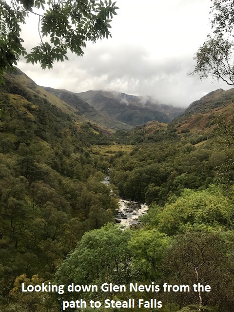
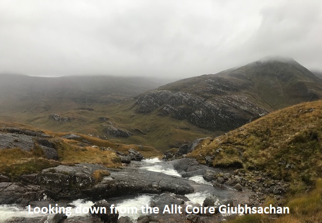
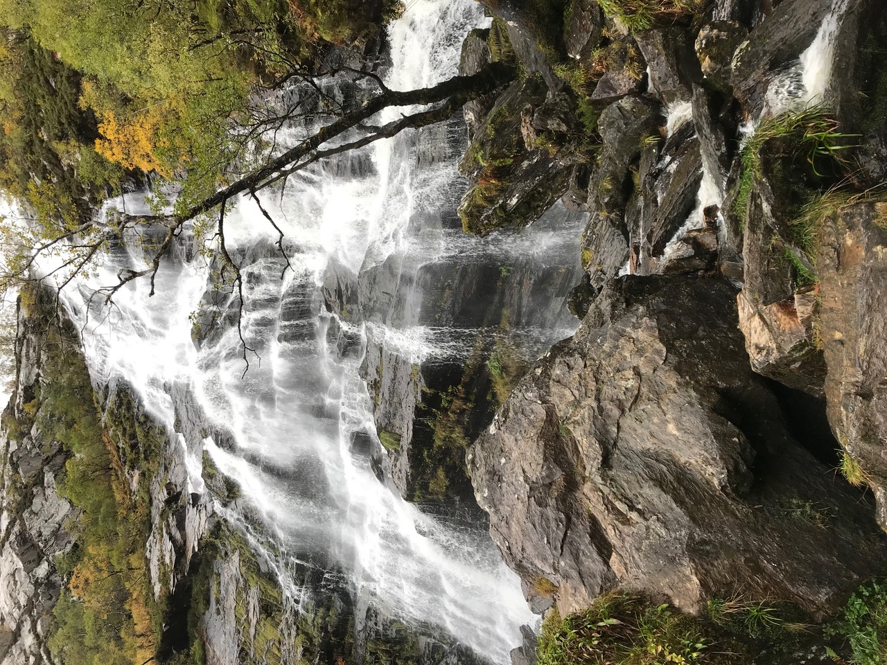
Due to the weather and visibility on the tops we had decided initially to explore Coire a’ Mhailex, reaching this by ascending the stalkers path in Coire Chadha Chaoruinnex to 630m alt., then descending by Cnoc Reamharex to the Allt Coire a’Mhail. This would have provided a relatively bog-free approach to Coire a’ Mhailex. However, the precipitation over the previous 48 hours had raised the levels of the river and burns. We crossed the River Nevis on the Wire Bridge, but failed to cross the Allt Coire a’Mhail below the Steall Falls. Heading back as far as the club hut, then followed a faint path uphill, intending to connect with the route in the programme. This petered out after a while and the saturated ground and dense vegetation along with the rain damped enthusiasm, so we returned to the Wire Bridge, back across the river and headed for the Steall Ruins. A pleasant climb up the W side of the Allt Coire Giubhsachan on a path that managed to be rocky and boggy simultaneously, past some magnificent waterfalls, brought us over the lip into the grand hanging valley of Coire Giubhsachan. This is a fine spot with impressive views, but today the distant vistas were obscured by sheets of rain. By now, having done a good few kilometres, several hundred metres of ascent, and Jane’s watch signalling tens of thousands of steps, we decided to call it a day.
A short wet walk is better than no walk. It’s always worth going out and doing something.
Andrew
So frustrating when the weekend weather is poor and there have been good days during the week 😕. Not fancying wet feet at the start of the day opted for a route with no river crossings - good decision. Despite the weather, a reasonable day’s walk; getting a bit quieter up the Glen but NHWC the only ones wearing face coverings today 😢.
Jane
Photos from Jane:
Photos from Andrew:

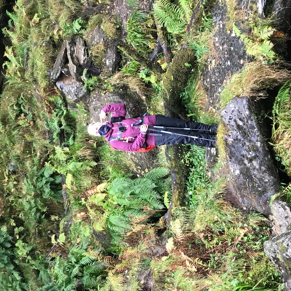
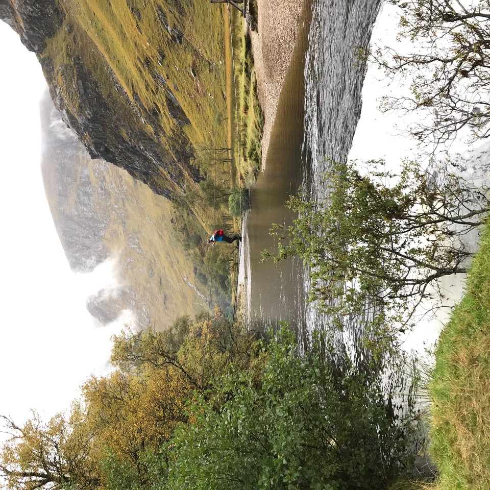

Sunday 27th September — Beinn Challuim, Tyndrum
Weather and Ground Conditions : Lovely autumn day with little cloud (no rain!) and light winds. Comparatively dry underfoot.
Walkers : Andrew, Gerry, Jane, John, Ken
Distance : 11km
Ascent : 900m
Duration : 6:30 hours
Almost perfect conditions for this autumnal walk. Parking was awkward in the busy lay-by at the start and as expected, the hill was busy too. Kirkton and Auchtertyre are SRUC's (Scotland's Rural College) major research farms in the West Highlands. They host scientists and staff from SRUC's Hill and Mountain Research Centre (HMRC) who manage projects that utilise the livestock, land and vegetation of the farms. Part of the walk goes through an area of ground planted with native trees. The ascent was hard (for me!) but the ever expanding views helped. It was mostly dry underfoot but with patches of boggy ground (it would be much wetter in rainy conditions). Route finding is easy on this hill, especially in these conditions. Arriving at the south top, I was ready to give in, but after a break and some encouragement, I joined the others to tackle the short drop and narrow ridge leading to the summit. After a break, we split into two, with Andrew, Ken and Jane deciding to take the more interesting route while Gerry and I just returned by the upward route. Andrew and co. dropped steeply down into Coreheynan and then crossed rough ground to reach a good track which took them back to the start. Although this route was longer, they arrived at the cars before Gerry and me. After some discussion, it was decided to miss out on coffee and just go home because of the restrictions imposed as a result of the virus.
John
There aren't going to be many more days like this before winter sets in so it was great to make the most of the fine and sunny day. The 360 degree views were stunning and good to catch up with members who have not been out for a while. Still so many cars out on the road and walkers on the hills despite the summer holiday period coming to a close. Our COVID measures will start to become second nature and a small inconvenience for the payback of a cracking day on the hill.
Jane
Photos from Jane:
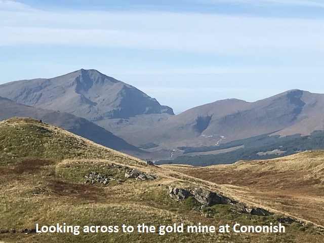

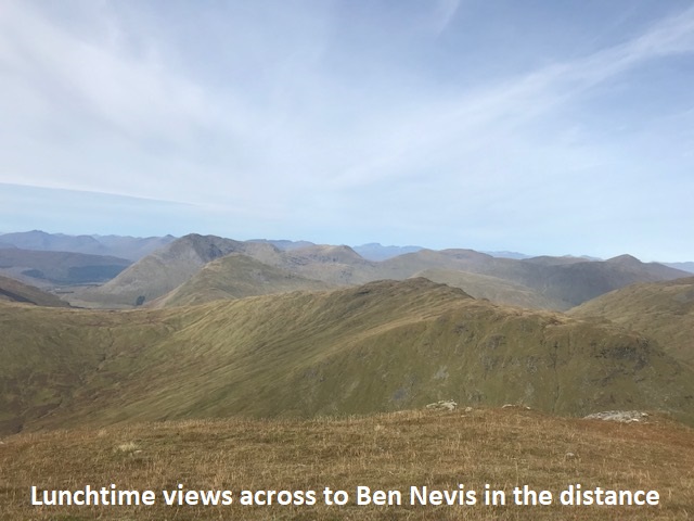
Photos from Andrew:
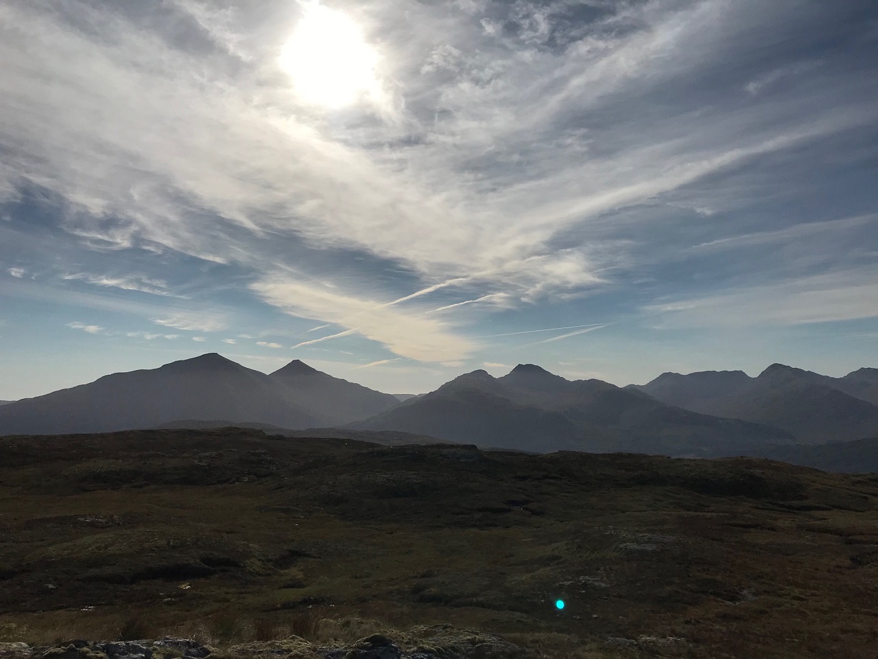
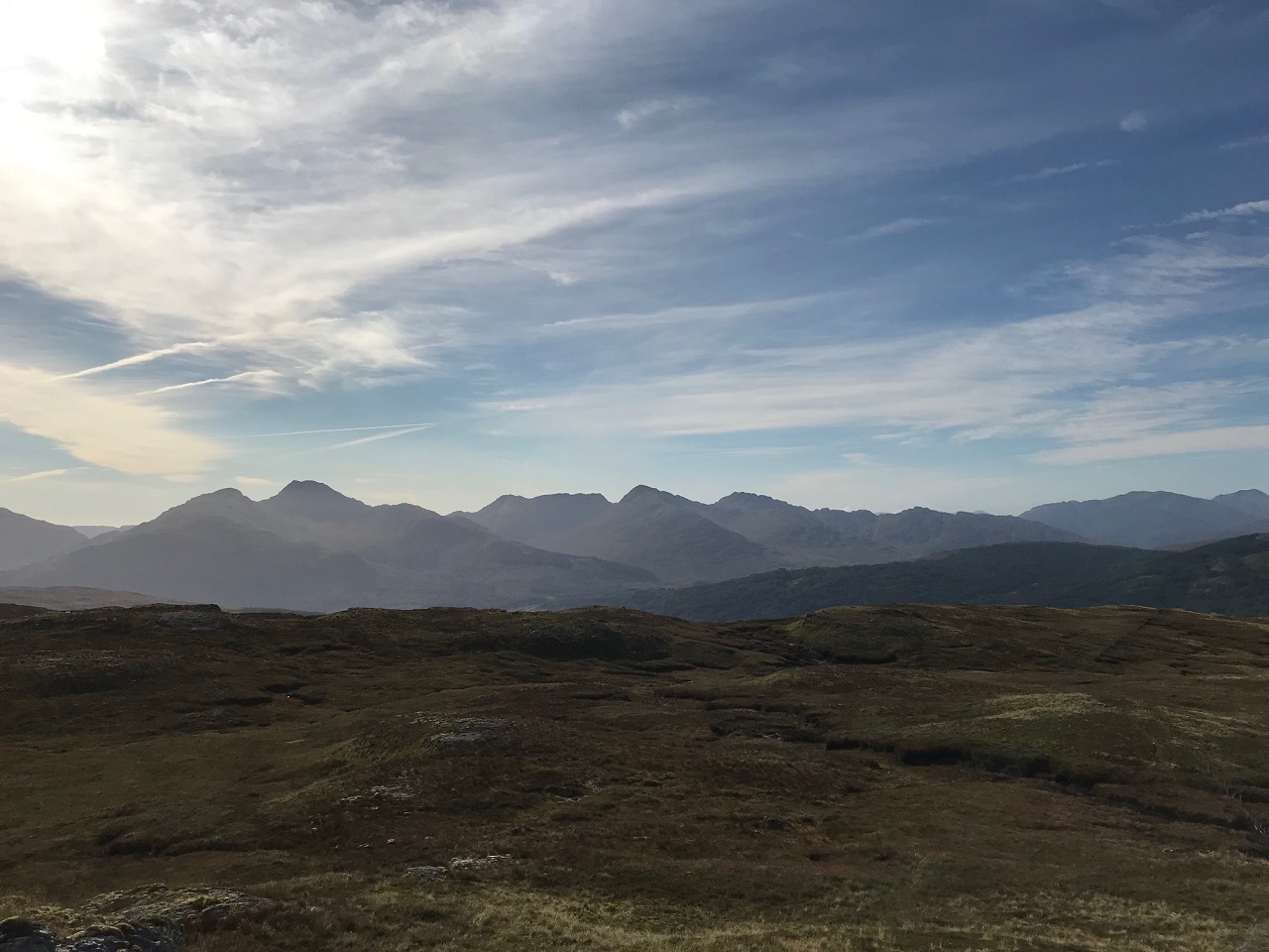
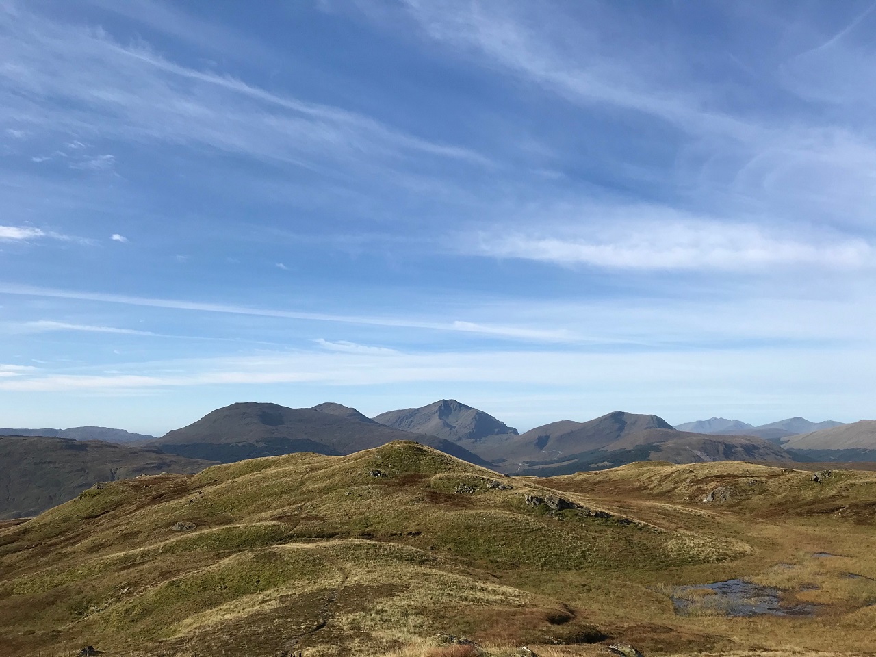
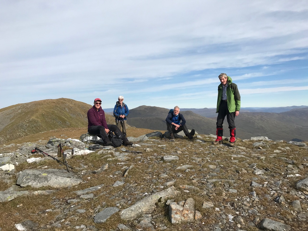
Saturday 15th September — Glen Nevis
Weather and Ground Conditions : On the day the forecast was much improved with a good morning in prospect, little chance of rain and cloudy with some glimpses of sun. The wind was quite gusty and increased in strength (gusts to about 40mph) throughout the day with the forecasted rain setting in a bit earlier than anticipated.
Walkers : Andrew, Jane
Distance : <6km
Ascent : 100m
Duration : 3 hours
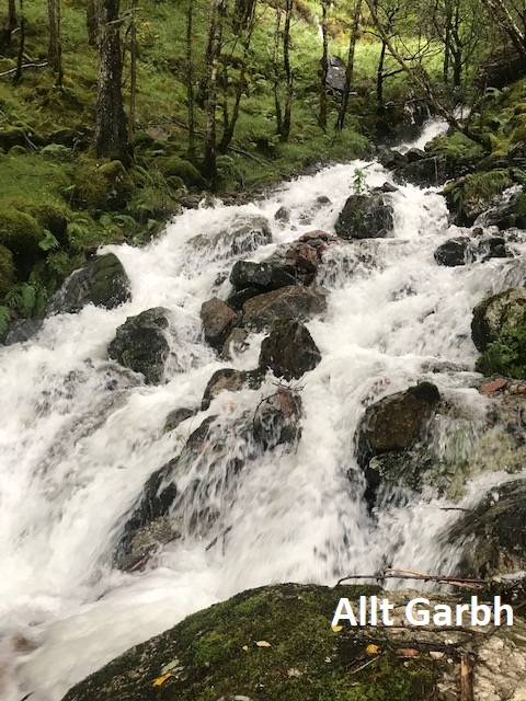
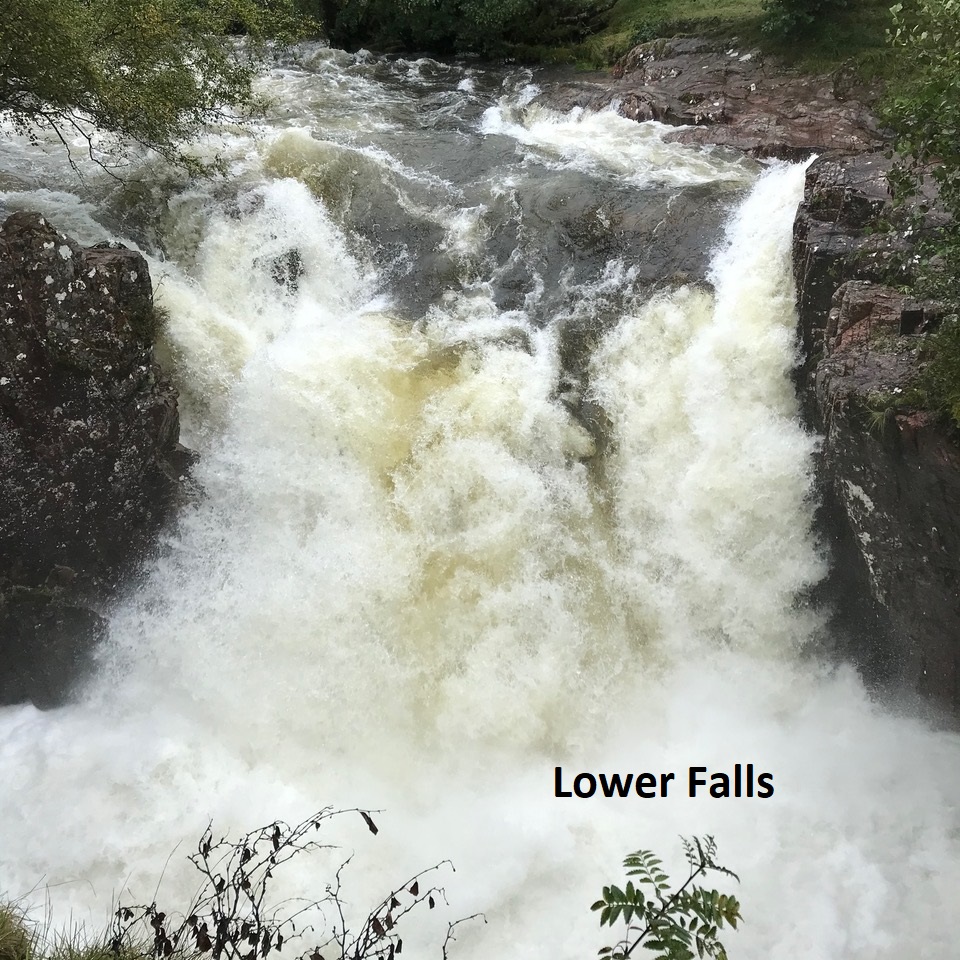
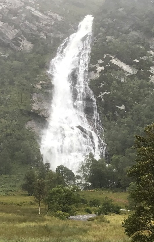
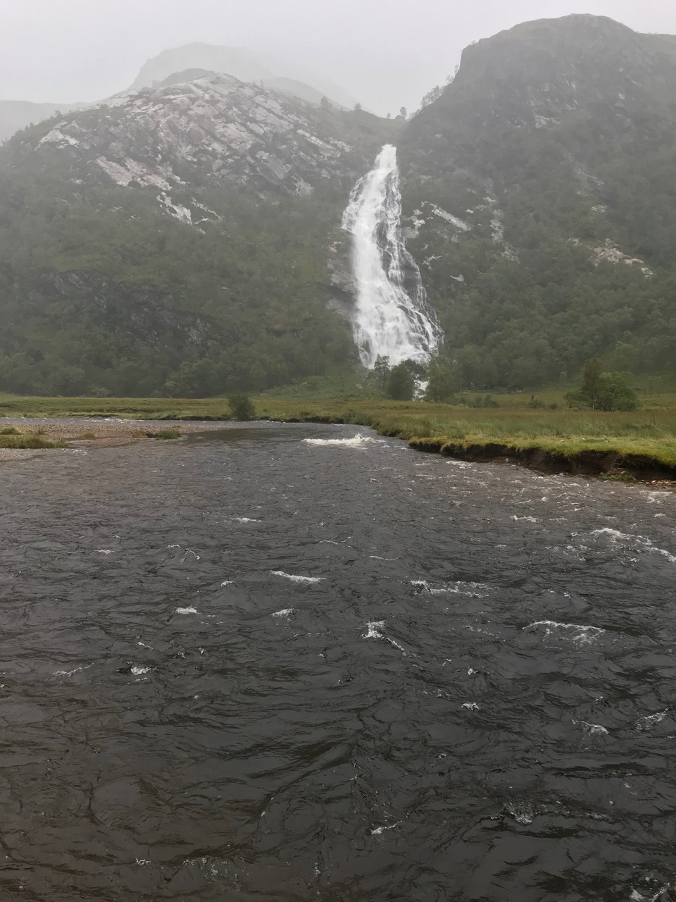
Original programme was for 2 Munros in Glen Nevis. The extremely poor weather didn’t make these two hills an attractive proposition so a lower and shorter alternative in Glen Roy was planned. However, with the heavy overnight rain and the possibility of a tricky river crossing a shorter walk in Glen Nevis was the preferred option where we could at least admire the spectacular sight of the River Nevis at the Lower Falls and Steall Falls itself.
A later start than planned as the day would be considerably shorter but the rain had not eased at all during the morning and driving past the Visitor Centre carpark the stark evidence of the heavy rain was there to see, as the car park was cordoned off due to flooding with a number of stranded cars.
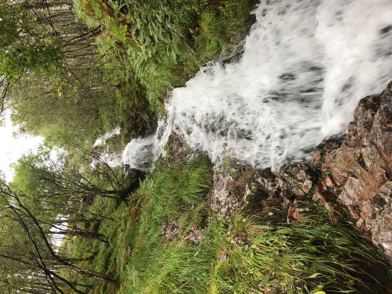
A quick stop at the Lower Falls to photograph the torrents of water cascading over the rocks before heading up to the top car park which surprisingly was packed. Even the heavy rain did not deter the visitors even though many seemed ill equipped in the suitable footwear and clothing department. Deciding to stay away from the crowds we took the old path on our way up to Steall Falls negotiating a few challenging water courses along the way. Definitely a better approach with good views of Steall Falls looking stupendous.
A lack of campers and very few people crossing the wire bridge most probably the fear of being washed away as the meadow was flooded and the River Nevis was high and fast.
Returned along the main path back to the car park. Costa drive through for a tasty coffee.
Jane
Weather pants. Two Munros in the Mamores was changed to a small hill in Glen Roy was changed to an afternoon walk in Glen Nevis. At least we did something - just like the good old days 20 years ago when we were young and vibrant and never missed some sort of a club walk at the weekend, whatever the weather. There were only two of us left standing by the time we started today. 100mm of rain had fallen over the weekend, rivers in spate, ground saturated, paths turned into burns, raised voices over the cacophony of rushing water. There were others in the glen too. More likely frustrated walkers than tourists this time and more Covid - 2 metres aware. Nonetheless, we took the old path diversion in the gorge to keep out of the others’ way, and only just managed to cross the swollen Allt Garbh without the benefit of the bridge. Magnificent.
Andrew

Tuesday 8th September — Sgurr nan Coireachan, Glenfinnan
Weather and Ground Conditions : On the day the forecast was much improved with a good morning in prospect, little chance of rain and cloudy with some glimpses of sun. The wind was quite gusty and increased in strength (gusts to about 40mph) throughout the day with the forecasted rain setting in a bit earlier than anticipated.
Walkers : Jane, Kat
Distance : 22km
Ascent : 1150m
Duration : 8:30 hours
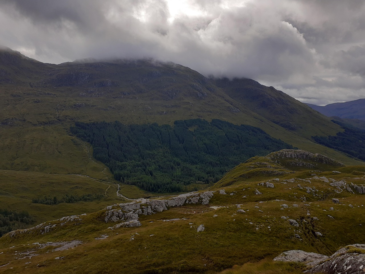
Great start to the day, not only dry but sunshine and free parking at the National Trust Visitor Centre due to the machine being broken. A very early start for Kat who had driven across from Balmedie. It was great to have good clear views and the sun to bathe us as we headed up the glen. We seemed to reach the crossing point of the river in no time at all and headed along the track to meet the stalkers path that would take us up the ridge of Sgurr a’ Choire Riabhaich. Too much conversation and not enough concentration we over-shot the path so had to do a quick steep ascent to get us back on course. A slow ascent, the period of lockdown having taken its toll on Kat, we steadily climbed to the top of the first Munro. The cloud was descending fast and the early rain arrived obscuring the chance of any views if we had carried onto the second summit. The strengthening wind, the prospect of a long drive home helped us decide to curtail the walk and with one Munro under our belt and honour partially satisfied we descended by the outward route back to the car park. The sight of so many ptarmigan was a stark reminder that winter isn’t too far away but let us hope for a few more good autumn days on the hills ahead of the shortening days.
Jane
I know the area since 2004. I left Fort William in 2007. I have been visiting since but always wanted to keep coming back and exploring the hills there. I have been thinking about joining the Club for the last few years and yes, every time I am in Fort William, I look at the poster at Morrisons so eventually I have made a decision to get in touch.
Kat




Sunday 6th September — Buachaille Etive Mor, Glen Coe
Weather and Ground Conditions : Fine, calm, excellent visibility
Walkers : Andrew, Jane, Kate
Distance : 17km
Ascent : 1150m
Duration : 7:30 hours
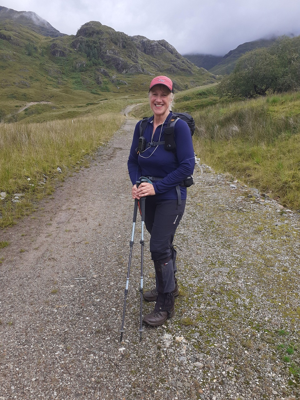
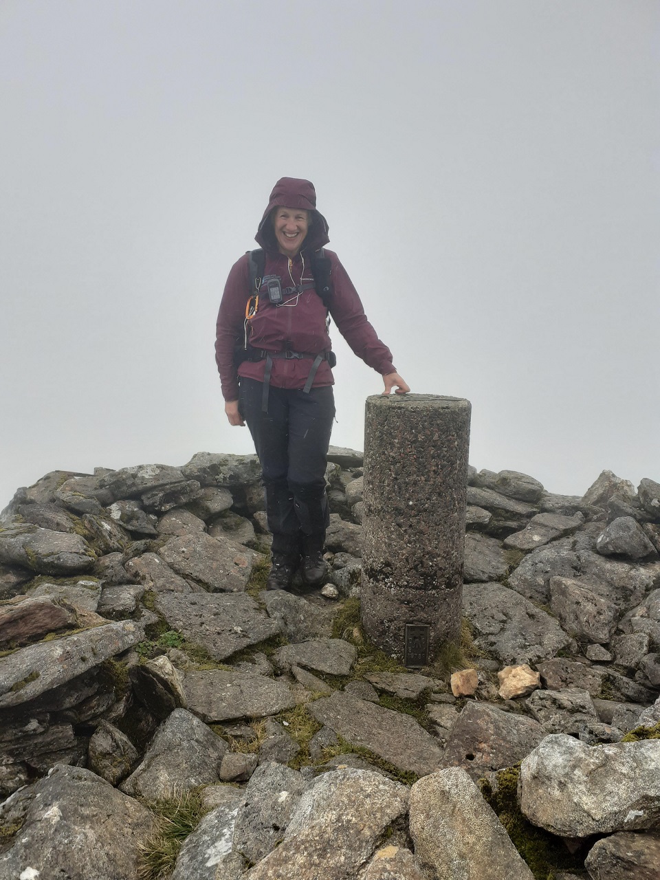
The hills are still very busy even though the school holidays have finished. We were lucky to get a space in the lay-by at Altnafeadh. To avoid the crowds on the usual approach path up Coire na Tutaich, we decided to climb the steep and rocky western arm of the corrie. Saw no one until we reached the main ridge. The summit of Stob Dearg was crowded, but most people there and on the paths were alert to the need for social distancing. What a difference it makes to be well above tourist altitude. Apart from an hour or more of fruitless searching for my GPS, we made brisk work of the long spine of the Great Shepherd of Etive and over his/her several peaks to the second Munro of the day. Then the descent to Lairig Gartain on the not so new path. This has never successfully obviated the difficulties of the wet slabs about half way down and we picked our way carefully. Once in the Lairig, a swift walk out.
The best weather day of the weekend and rewarded with epic views in all directions and a rare view of Ben Nevis with not a cloud in sight.
"Oh so busy!!" — lucky to find parking but you cannot blame people for wanting to be out on such a fantastic day with the ambition of bagging a must do hill.

Sunday 30th August — Aonach Beag, Glen Nevis
Weather and Ground Conditions : Wind varied from calm at the start, to SW 10kts in the glen and NW 10-15kts at altitude. Occasional showers of light drizzle, cloud base 1100m, a patch of sunlight here and there. Visibility good below cloud. Ground frequently boggy and rocky areas greasy. Bank holidaymakers at Upper Falls car park attracting dense clouds of midges.
Walkers : Andrew, Jane
Distance : 13km
Ascent : 1200m
Duration : 7 hours
The walk programmed for this day was originally Beinn Pharlagain. This could not go ahead because the first train out from Fort William leaves at 11:32, leaving insufficient time to complete the walk before the return train departs from Corrour. This substituted walk was originally programmed for Tuesday 14th July, but cancelled due to insufficient interest.
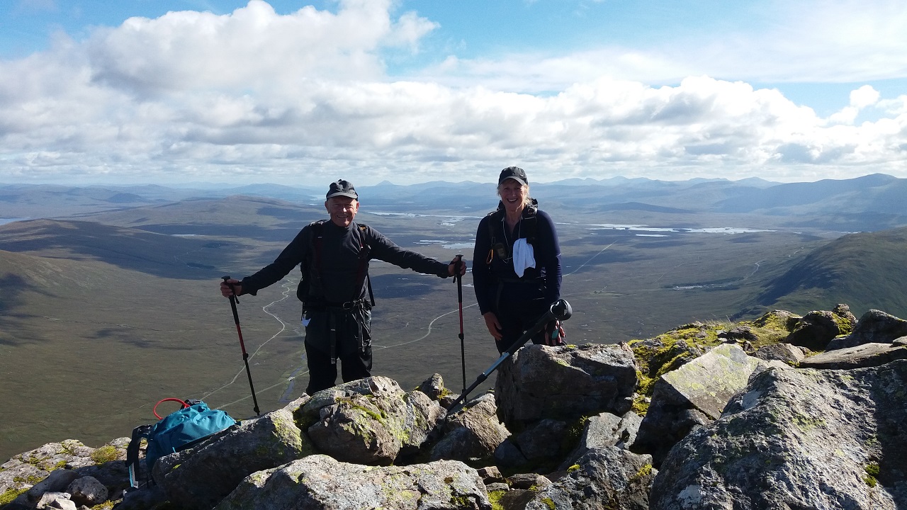
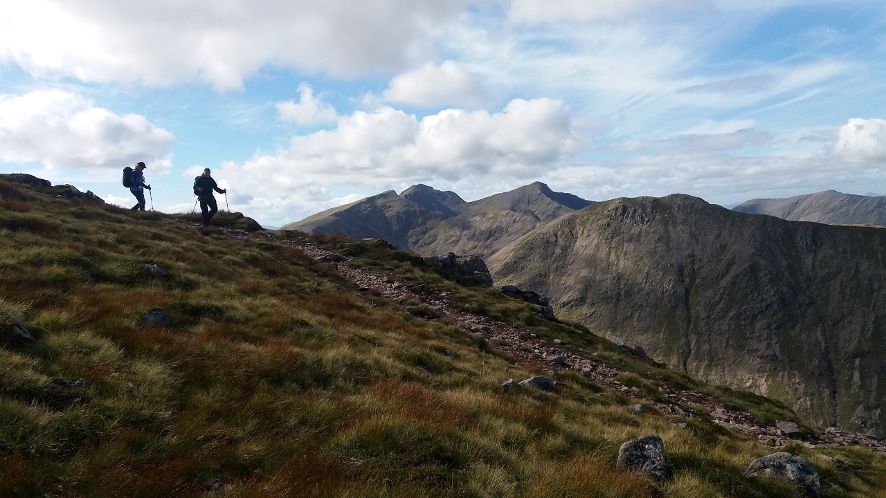
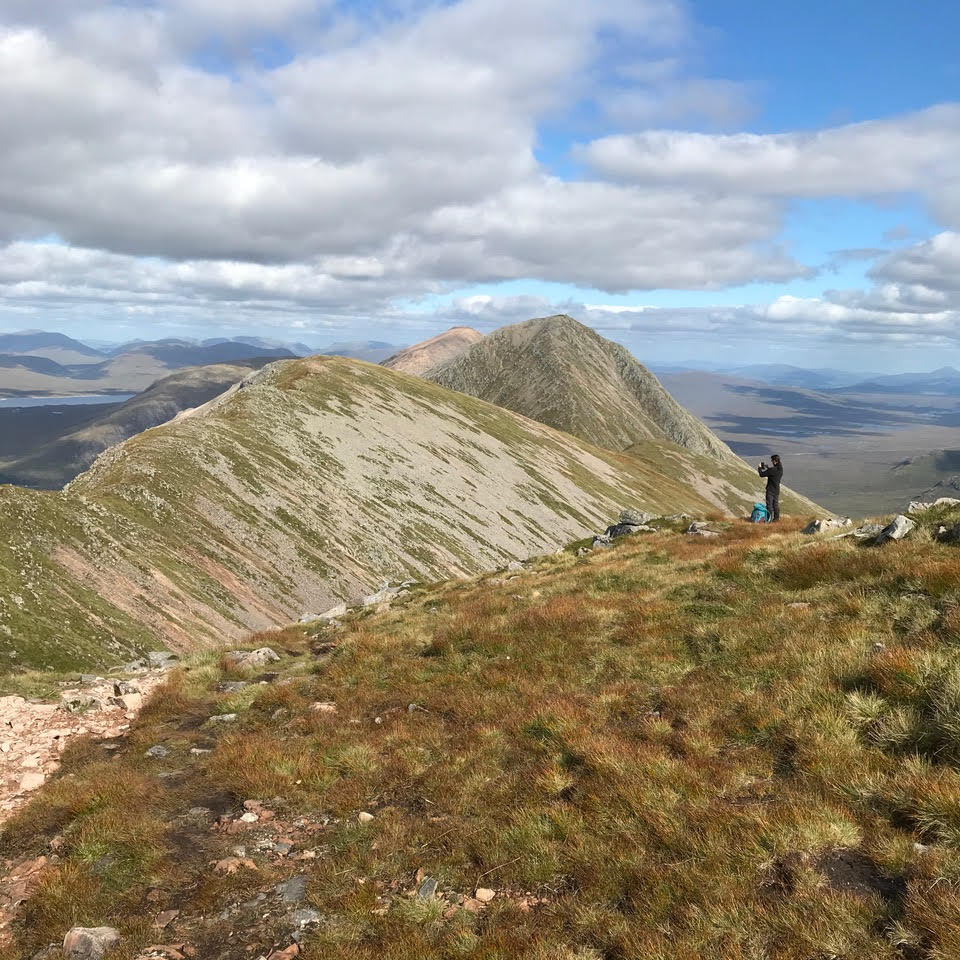
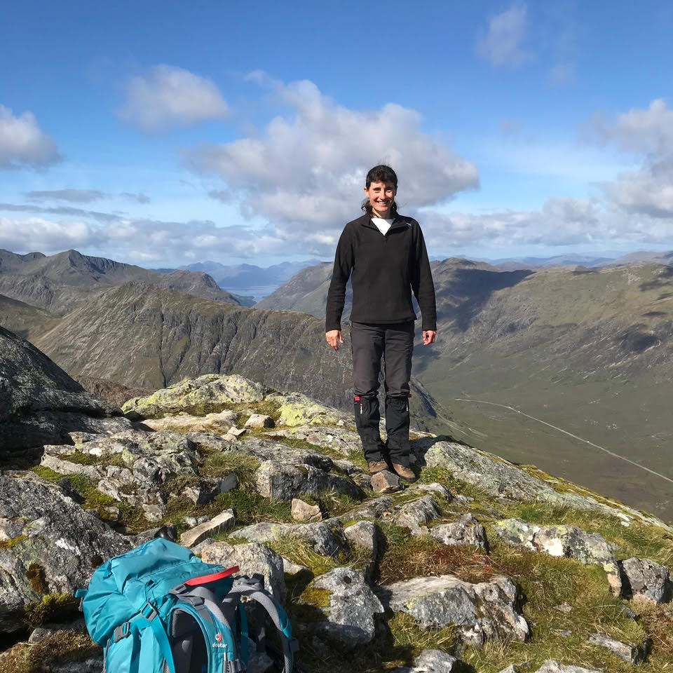
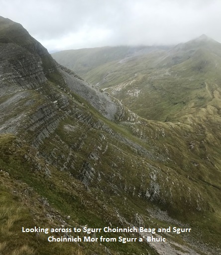
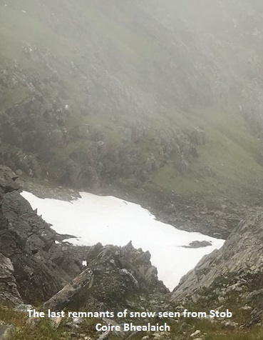
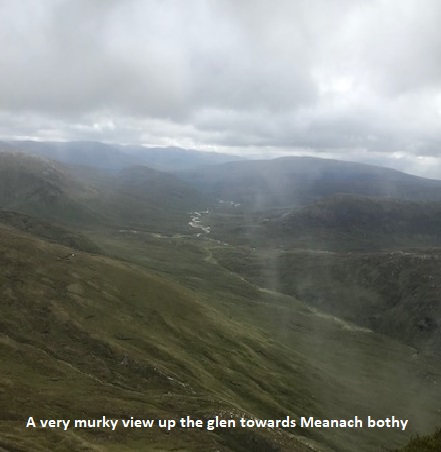
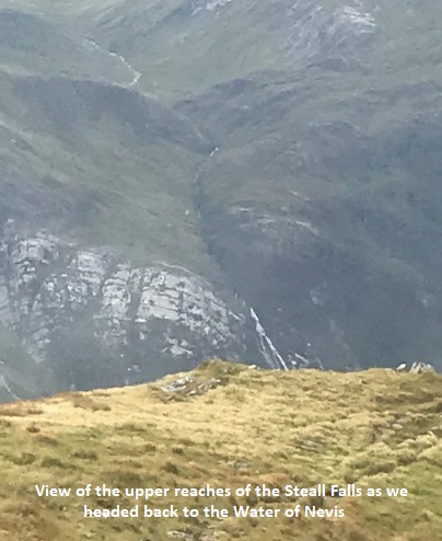
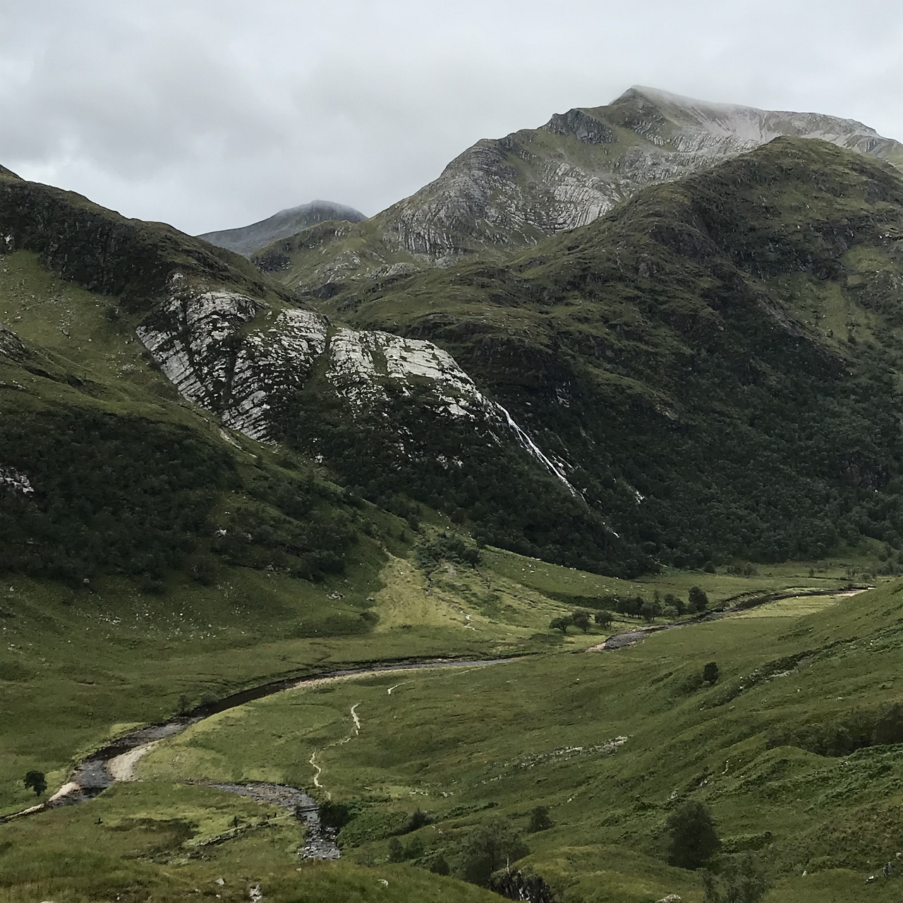
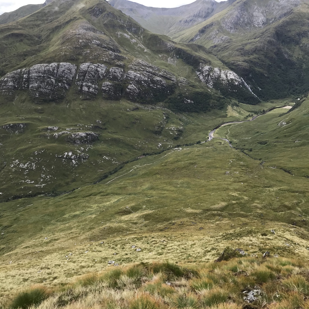
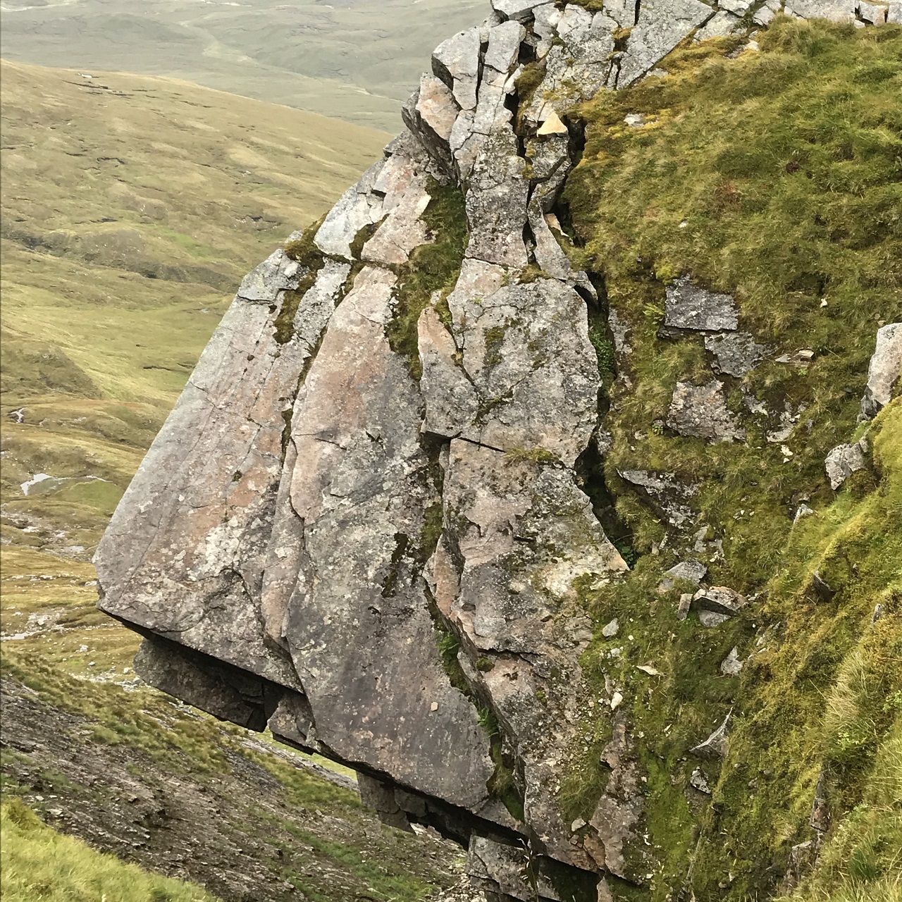
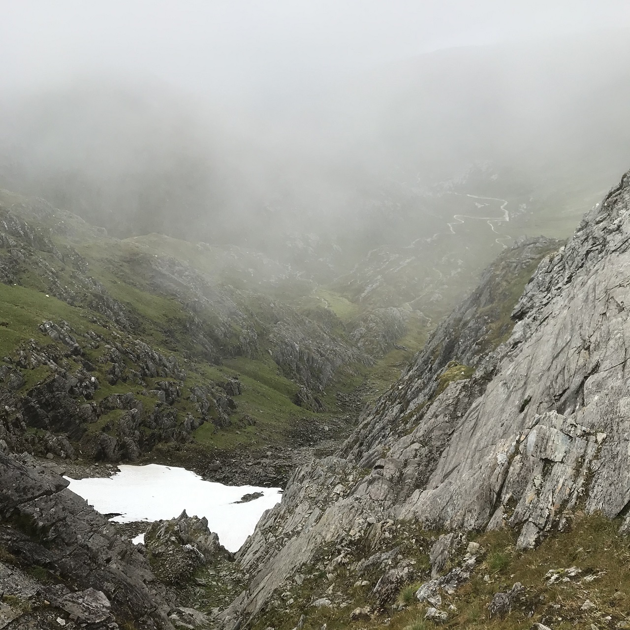
The route followed was that described for 14th July, choosing the option to omit Aonach Mor, which both of us had recently done. The climb up the ridge to Sgurr a' Bhuic is steep but not diffcult and gives great views all the way. Its rocky glaciated peak has an impressive drop to the East. Beyond at the col, the huge overhanging block at the head of the gully now looks decidedly unstable with several wide fissures visible. We followed the edge of the rim of Coire a' Bhuic and were rewarded with a splendid view into the vast Cul Choire, and the 300m high near-vertical slab on its headwall. From there - upwards into the cloud all the way to the summit of Aonach Beag. The sole person we'd seen since passing Steall Ruins had overtaken us but we were alone on the summit at first. The cairn had been inexplicably destroyed, it's remains marked by another tiny one, so we took some care to be sure we were actually at the summit. The overtaker then appeared and soon after, folk appeared out of the mist from the direction of Aonach Mor. We headed off briskly down the SW ridge and had the mountain to ourselves again until we reached the floor of the glen. The contrast was stark. Campers pitching or packing up, cars attempting to cram into an overflowing car park, unmasked tourists ignoring social distancing. We were lucky to get out relatively unimpeded.
Andrew
Started the day as breakfast for the midges but soon left them behind as we gained height. Unfortunately, the low cloud did not let us appreciate the stunning drops and views down into the coire as we made our way to the final summit. On the return journey possibly more tourists than midges, who seem to struggle with the concept of social distancing 😕 but a good day on the hill nevertheless. I have never seen Glen Nevis so busy but I guess it was a bank holiday weekend.
Jane
Photos from Jane:
Photos from Andrew:

Saturday 22nd August — Beinn Mhanach and Beinn a’ Chuirn
Weather and Ground Conditions : Wind SW 10-20mph, stronger at altitude, occasional light showers in the Glen, becoming heavier above 650m in cloud. Cool at times. Visibility poor on the summits requiring close attention to navigation. This lifted on the descent and the remainder of the walk largely dry. Very wet underfoot. Multiple river crossings required care. Levels had fallen slightly on the return leg.
Walkers : Andrew, Chris, Jane, Rick
Distance : 22km
Ascent : 850m
Duration : 7 hours
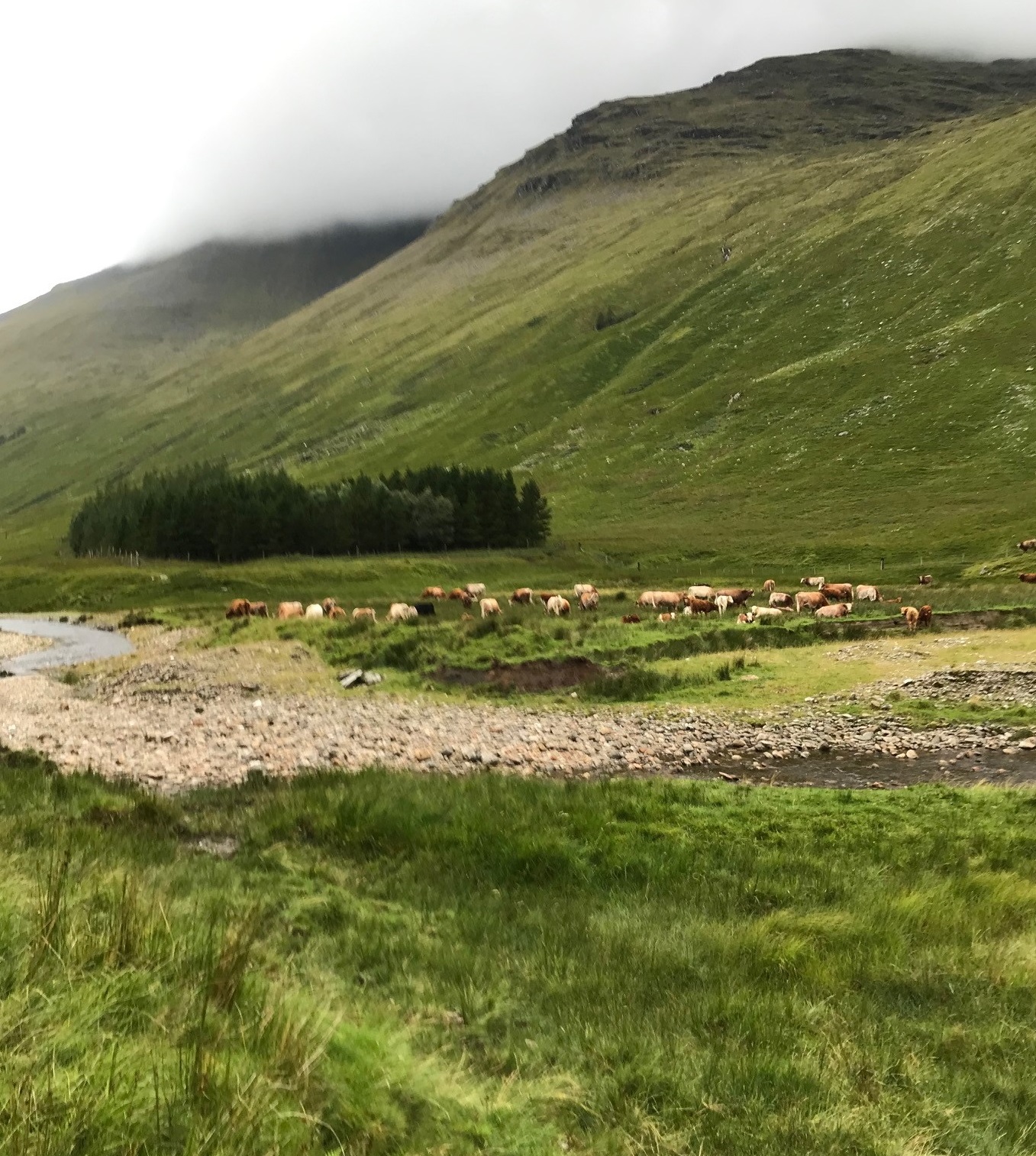
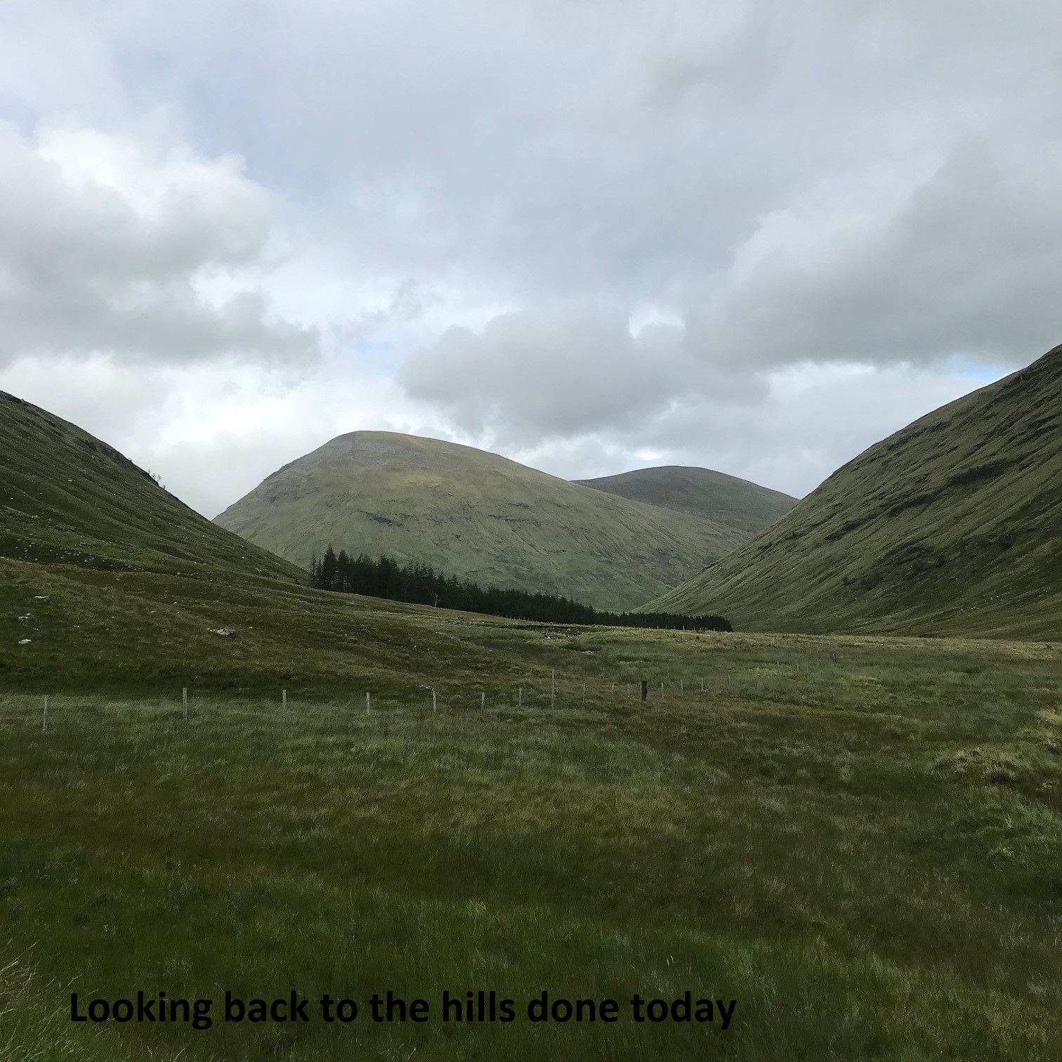
Luckily we were the first to arrive at the layby on the Auch Estate road and managed to park, probably quiet due to the disappointing weather. A good tarmac track took us past Auch Estate Lodge and we were soon crossing the first of several streams flowing into the Allt Kinglass. Passing under the West Highland rail line the decent track allowed us to make good progress until we needed to leave the track to avoid a wider faster flowing crossing of the Allt Kinglass itself. Passing large numbers of docile cattle we rejoined the track for a short distance before heading north to meet yet another track that skirted around Beinn a’ Chuirn. Well away from midges we stopped for elevenses and then started to gain height as we headed for a col between the two summits. The low cloud cut down visibility significantly and with the aid of compass and GPS upon reaching the col we decided to deviate from the programme and head for the summit of Beinn a’ Chuirn before heading back to the col and then up to the summit of Beinn Mhanach.
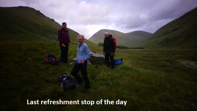
The disappointing weather and lack of views contributed to a fairly speedy descent, stopping for lunch before descending past some significant channelling of water flowing down the mountainside. We then headed along the track beside the Allt a’ Chuirn. A quiet day on the hill but we did meet five guys heading up the Glen who were walking St Columba’s Way (Iona to St Andrews). Rejoining the outward track we encountered the herd of cows yet again and this time we had to negotiate the crossing of the Allt Kinglass we managed to avoid earlier in the day. Wet feet at this stage of the walk was not a worry and we skipped our way through the water. Back to the cars and off for a coffee.
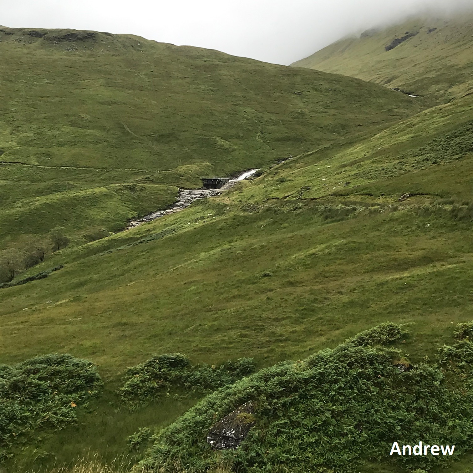
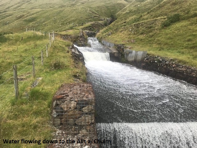
The water channel is part of the Breadalbane Hydro-Electric scheme built in the 1950s around Loch Lyon, Loch Tay and Loch Earn. This channel was taking extra water into Loch Lyon as Allt a’Chuirn should flow SW into Allt Kinglass and Glen Orchy. (wasted an hour yesterday trying to work out the extent of the scheme – there is an amazing network of tunnels through the hills here moving water all over the place and generating 120MW of power through 7 powerstations. I doubt this scheme could be built today as there is no compensatory flow and there is a principle of not moving water between catchments.
Spotted a rather large bird above the summit of Beinn a’ Chuirn that we thought was a white tailed sea eagle – I saw another one/the same one as we came onto Rannoch Moor after the view point over Loch Tulla on the journey home.
Chris
The lure of a decent coffee at the Real Food Café in Tyndrum made an additional 6km south worthwhile. Previous visits had left a very positive impression with their post Covid-19 operations. However, they have had to introduce a Click and Collect service which requires online ordering. Something to bear in mind for future visits. Still a good coffee!!!!


Sunday 16th August — Aonach Dubh a’ Ghlinne, Stob an Fhuarain and Sgor na h-Ulaidh
Weather and Ground Conditions : Warm, dry and sunny with occassional shade from passing high cloud. Pleasant cooling breeze at altitude, variable in direction. Mainly dry underfoot.
Walkers : Andrew, Jane
Distance : 13km
Ascent : 1250m
Duration : 7:15 hours
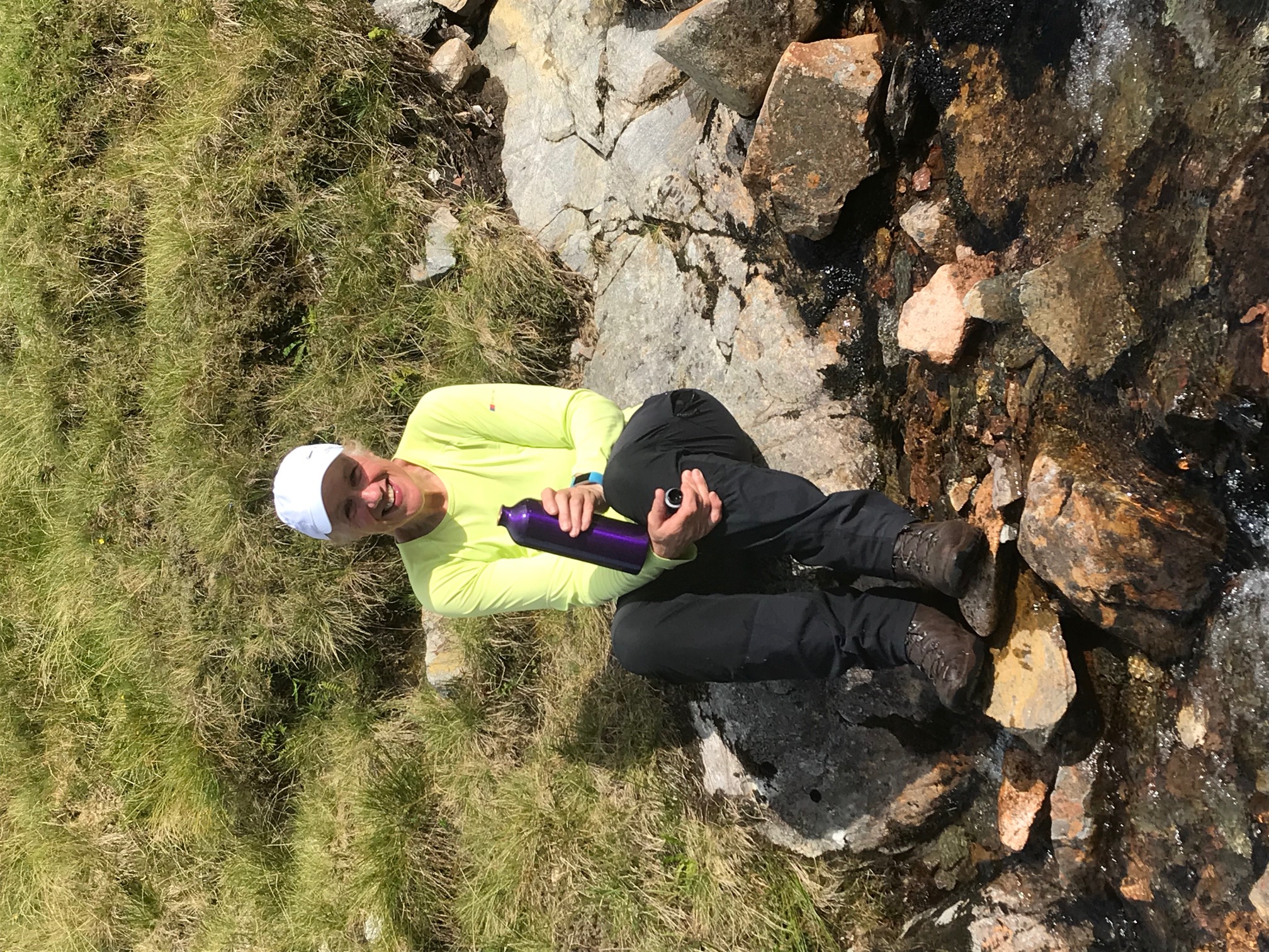
The route in the programme was followed. The vegetation was high on the first stretch to the bridge making it difficult to find any trace of a path. The bridge itself is now in a poor state and likely to become risky to use before long. The lower part of the climb up the nose is very steep and the route-finding difficult for those not familiar with the route. The waypoints are spot on and a reassuring confirmation of one's memory. We gained height quickly and soon found a breeze to ease the stifling heat in the glen and deter the midges. We congratulated ourselves for using an off-beat approach to avoid the many hillwalkers we expected to meet once nearer the Munro. Amazingly, we saw nobody the whole day, and vacant peaks all around. It was like lock-down all over again, belied only by the movement of heavy traffic, visible on the now distant A82. We had 11's on the summit of Aonach Dubh a’ Ghlinne and lunch on the summit of Sgor na h-Ulaidh. Returning to Stob an Fhuarain, we turned East and followed the rim of Coire nan Cnaimh down towards the Bealach Fhionnghaill. We carefully negotiated the southern edges of the twin slabby buttresses, which are such imposing features in this place. In the glen there were several streams with clear cool water to drink from and refill empty bottles. Then a long walk out.
Where were our other members on such a perfect day and interesting route?
Andrew
Unbelievably we had the hills to ourselves. The ascent was a wee bit nerve-racking and not a good idea to look down but a great way to gain height quickly. The weather played its part and was fantastic for the whole day and generally the midges were not too bad. Days on the hill don’t get much better than this!!!
Jane
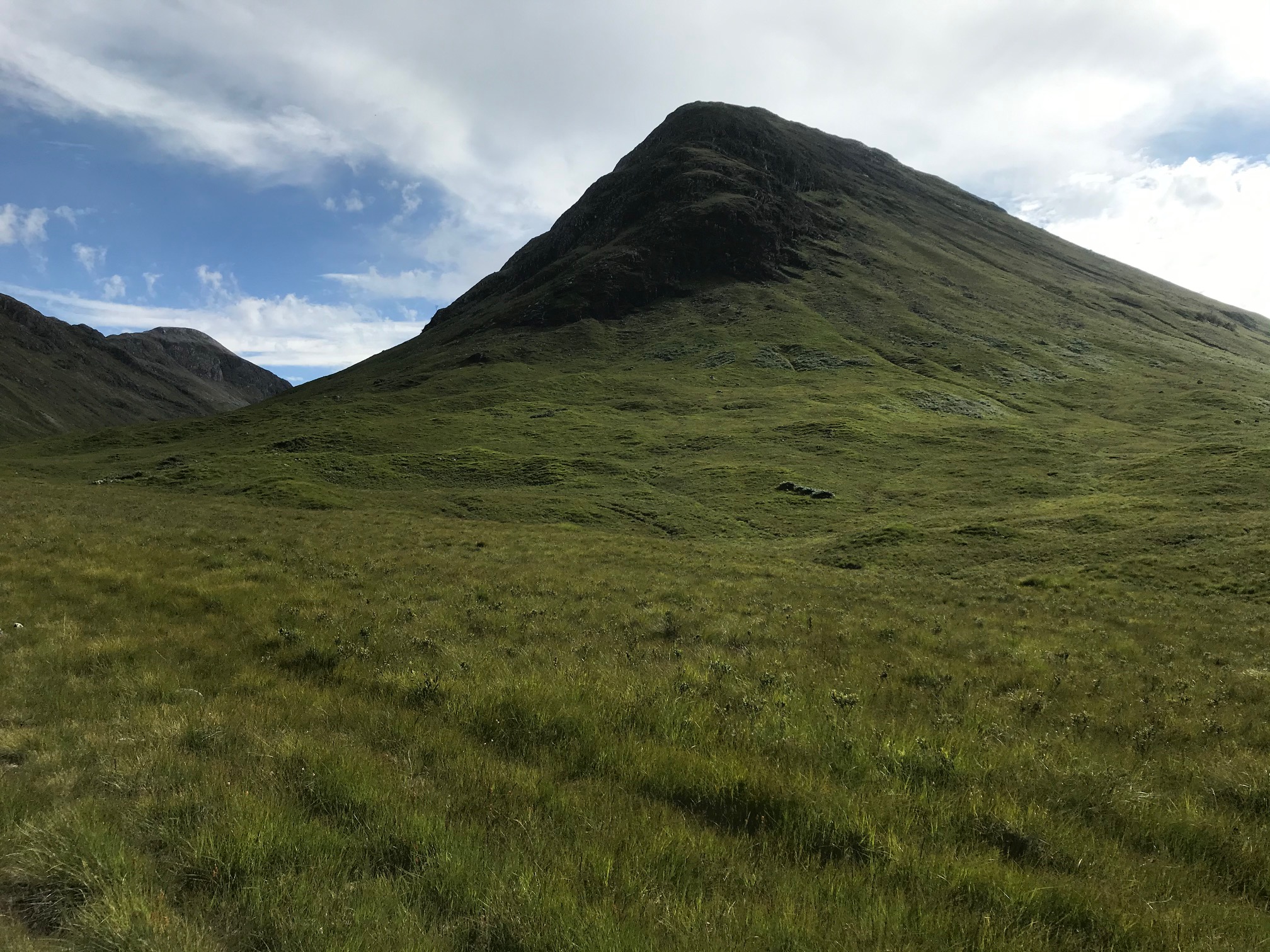
Sunday 2nd August — Sgurr Choinnich Beag & Sgurr Choinnich Mor
Weather and Ground Conditions : Breezy from W to SW with a few light showers. Bursts of sunshine and good visibility below cloud base. Many summits clear of cloud at times. Ground saturated, vegetation high.
Walkers : Andrew, Jane, Kate
Distance : 17km
Ascent : 1250m
Duration : 7 hours
Programmed route followed until 600m past the bifurcation of the footpath. Here we lost the plotted path and deviated onto an ill-defined path to the S of the mapped course. After 700m it crossed to the N of the plotted course at NM2071769085 and continued to the bank of the Allt Coire a' Bhuic at NM2091569136. The path then followed the Allt Coire a' Bhuic NNE. This crossed the burn at the first confluence and again at a second. We decided to stay on this path, barely visible at times but seemingly preferable to the long plod in high, wet vegetation up the W side of the burn to the 731m col. As we gained height it seemed that this path would omit the Munro Top altogether so we left it and climbed directly to the summit of Sgurr Choinnich Beag, where we rejoined the programmed route.
With hindsight, the route described in the programme, a direct ascent up the W tributary of the Allt Coire a' Bhuic, is slightly longer but rather more interesting with closer views of the splendid cliffs on the E aspect of Aonach Beag and the magnificent expanse of Cul Coire.
Andrew
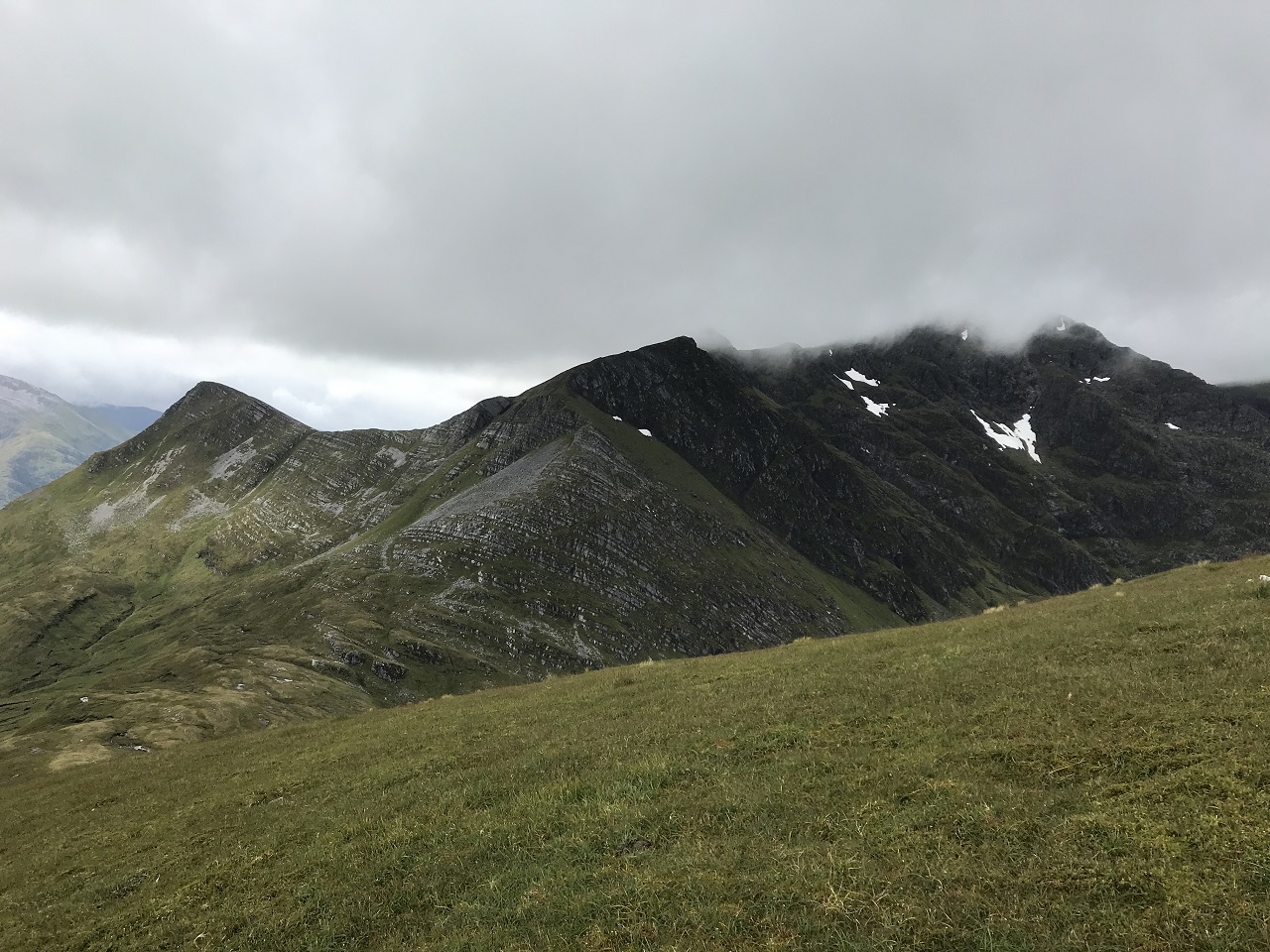
Wednesday 29th July — Cow Hill
Andrew, Craig, Gavin, Jane and Suzanne set off from Braveheart car park to find the true summit of Cow Hill on a dry and sunny evening. After a few twists and turns of paths and the peat track and leaping over a fence we arrived at our destination. Good views of Loch Linnhe and surrounding hills. 4 people went steeply down to the plantation and 1 person returned to the peat track.
Suzanne
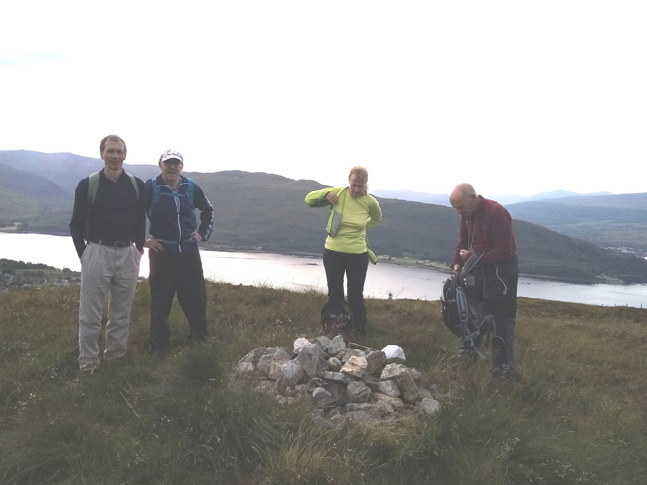
Saturday 25th July — Cruach Ardrain & Beinn Tulaichean
Weather and Ground Conditions : The MWIS forecast was for a wet and drizzly start to the day with improving conditions as the day progressed. Similarly the Met Office forecast was very much on the same lines. As it turned out the drizzly rain was fairly persistent until the latter part of the walk. As the low cloud briefly dispersed, there were very brief glimpses of the glens below. Sadly the cloud drifted back all too soon. For a brief time driving back over Rannoch Moor the sun appeared. Not the best of summer weather.
Walkers : Andrew, Chris, Gabby, Jane
Distance : 18km
Ascent : 1500m
Duration : 7:40 hours
Following the Club Phase 3 Covid-19 procedures we all met just south of Crianlarich. Thankfully the large lay-by easily accommodated all four vehicles. Looking at the looming hills, the low cloud and with the steady rain it was hard work to summon up any enthusiasm but we had come a distance so being an optimistic bunch we decided to give it a go.
After a short walk along a decent road we then crossed the River Falloch and started to gain height making our way up the NE nose of the ridge up to Grey Height. Following a very clear path along the ridge we headed for Meall Damh finding a sheltered spot for our first very welcome and for me much needed food stop. Sticking to the path we very nearly missed our ascent up to Cruach Ardrain, but after a fairly steep climb we were soon at the top. In good conditions our second summit would have been clearly visible but not today. Dropping down to a col at 825m, noting the cairn that would mark our return route we could just about discern the murky outline of Beinn Tulaichean. There seemed to be a never ending series of ascents and descents as we made our way to the second summit. After a lunch stop we headed back along our outward route, yet again over the numerous ascents and descents that seemed to go on for ages before we came across the cairn. Enduring the knee jarring downward slope we eventually found ourselves on a gentler but very wet underfoot descent back to the river and the end of the walk.
A tiring day, I have missed the bigger hills over the past three months and despite the weather a good day and good company.
The Real Food Café in Tyndrum provided a welcome refreshment stop and a great coffee. We found their post lockdown Covid-19 procedures, masks, distancing etc. all very re-assuring.
Jane

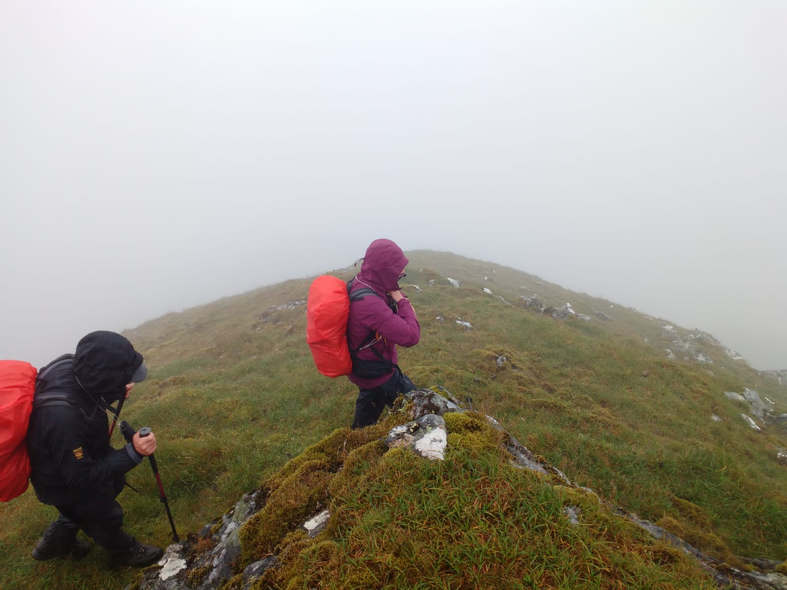
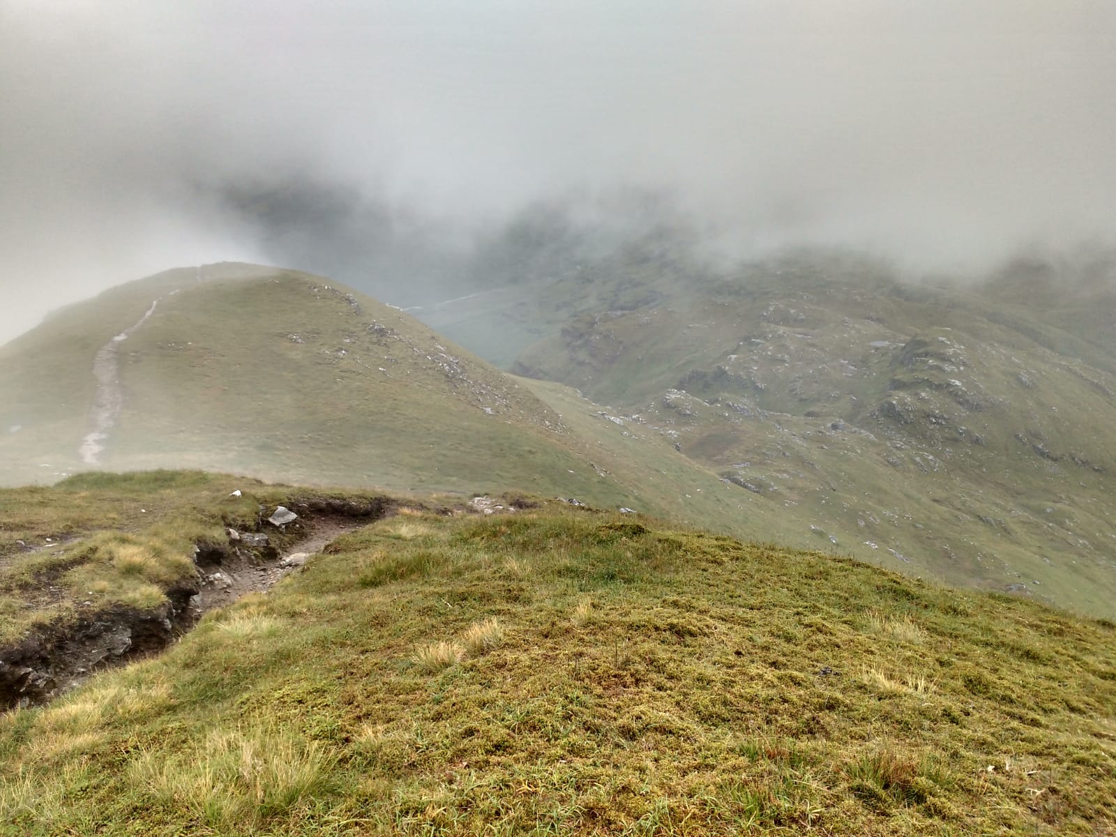
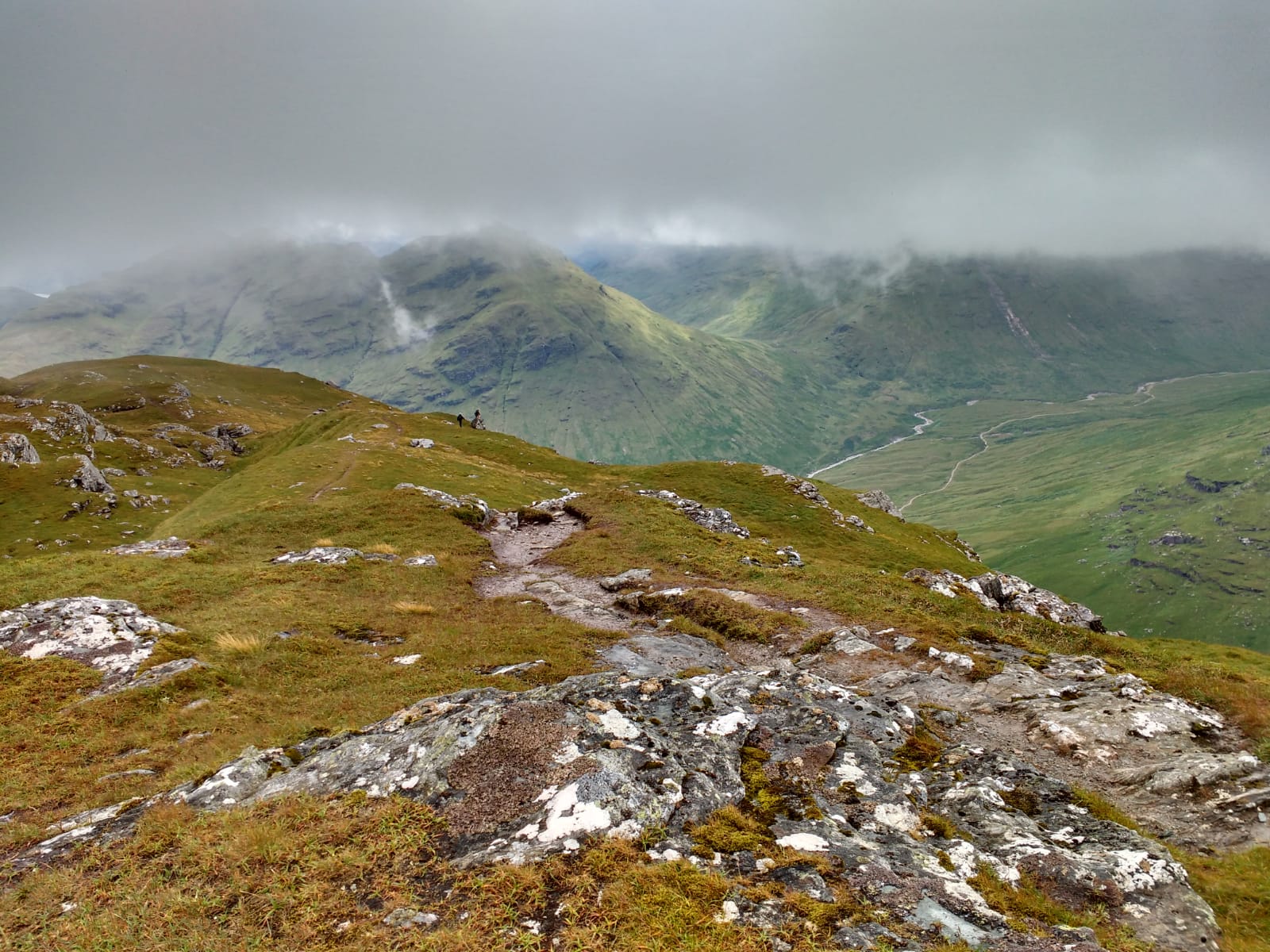
Sunday 19th July — Beinn Eunaich and Beinn a’ Chochuill
Weather and Ground Conditions : Showers, some heavy. Wind W 20kts. Visibility poor at time becoming good. Tempertature low for mid-summer
Walkers : Andrew, Jane, Gabby, Jan, Rick
Distance : 13km
Ascent : 1250m
Duration : 6 hours
A good day out in largely accordance with Covid Phase 3 special procedures. Another party we met on the Beinn Eunaich summit kept well clear of us after exchanging greetings.
Andrew and Jane obtained takeaway coffees at the Good Food Cafe, Tyndrum. Very well organised. Staff wearing masks stopping anyone attempting to go inside without a mask. We ordered and paid at a separate kiosk and the coffees were brought to the car by a waiter with a mask.
Andrew
Saturday 11th July — Druim na Sgriodain & Sgurr na h-Eanchainne
Weather and Ground Conditions : Mainly fair, some low cloud early in the day lifting. Mostly dry underfoot.
Walkers : Andrew, Chris, Clare, Gabby, Jan, Jane, Jenny, Kate, Rick, Trl
Distance : 14km
Ascent : 900m
Duration : 7:20 hours
This was the first club event since the Covid lockdown was inposed in March. Members were delighted to see each other after such a long pause and this led to some inadvertent infringements of the 2m distancing rule. One household group waited for about 10 minutes before setting off in order to keep its distance from the other. This worked for a while and the second group stopped for a break when they saw the first group up ahead stop. However, both household groups were at the main summit for a while at lunchtime, with the bare minimum of space between them. Later on, shepherds attempting to move a flock across the ridge from one corrie to another asked us to wait for half an hour. During this pause, some people found it impossible to remain in two separate groups, and on the final descent, members of different household groups found themselves walking together. However, this proved to be a good trial of the Covid Phase 3 procedures which we were in the process of developing. The result was the Covid Special Measures document published 16th July 2020.
Andrew
March 21st to July 5th : No walks due to Covid.
Saturday 15th March — Beinn Bhan, Glen Loy
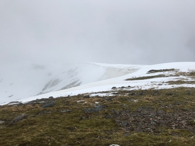
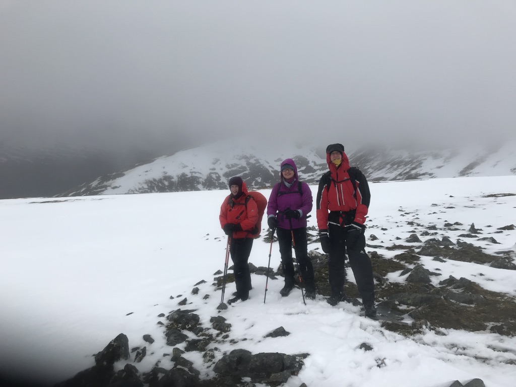
Weather and Ground Conditions : Wind SW veering NW at times, 15-20 kts. Snow showers, rain at lower altitudes. Ground saturated at lower altitudes, snow cover complete on the plateau, firm enough not to impede progress. Extensive cornices at the head of NE-E-SE aspects on the rim of Coire Mhuilinn at risk of collapse.
Walkers : Andrew, Gabriele, Jan, Jane
Distance : 9km
Ascent : 800m
Duration : 4:10 hours
The forecast of heavy snowfall on the three Munros at Cluanie on the programme, and the Amber (considerable) avalanche warning for Lochaber prompted a review for this day’s activitiy. It was eventually decided to do Beinn Bhan, last on the programme for 08/02/19 but the route was changed then, also because of weather and snow conditions.
We parked at the forest entrance on the S side of Inverskilavulin Bridge, NN125831. Headed N to the gated enclosure. This was open but it was more convenient for our intended route to take the boggy diversion indicated off left, to avoid crossing the Allt Coire Mhuilinn further up. A path has developed leading directly N up the S flank of the hill, probably a “Walk Highlands” route. We decided to follow this rather than the more interesting route up the SE ridge, thus avoiding the risk of cornice collapse. The visibility came and went but gradually improved overall. Stopped for 11’s on the plateau just after the first 771m summit and admired the view, and a rather large cornice which had already started to disintegrate. An easy walk from there to the summit, then we headed S down the fall-line, curving SW across the lower slopes back to Inverskilavulin.
Coffee at Costas, Fort William.
Andrew
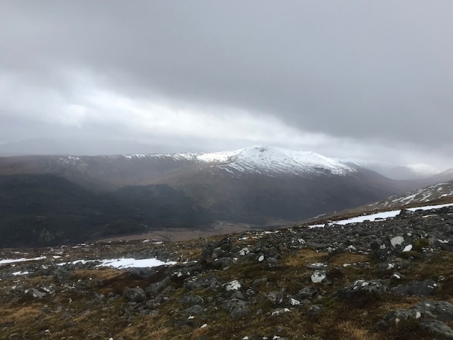
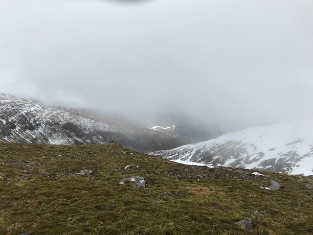
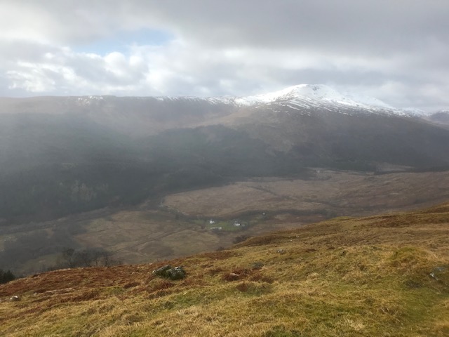
Saturday 7th March — Nevis Gorge
Weather and Ground Conditions : Wind 50-60 mph from dawn, heavy continuous rain, snow at altitude. Avalanche warning red/high in Lochaber.
Walkers : Andrew, Chris, Jane
Distance : 8km
Ascent : 250m
Duration : 4 hours
On Thursday 5th March the forecast prompted me to cancel the trip to Schiehallion by train and dial-a-bus, substituting Beinn Bhan from Glen Loy. 7 members expressed interest. However, by midday on Friday the forecast was updated to the conditions described above. By Saturday morning, only three turned up for a walk. We agreed that Beinn Bhan was not wise and decided to walk in Glen Nevis.
Started from Achriabhach, where free parking was available. Took the footpath on the S side of the Water of Nevis. This was fast-flowing but did not seem particularly high. At the bridge at NN158684, we decided to continue on the S side and followed a deteriorating path along the bank. The ground was saturated and the tributary burns somewhat difficult to cross. At the weirex, NN169690, the path climbed up through deciduous wooded slopes, steepening and zig-zagging, to emerge above the tree-line on a double spur, the second of which gave a grand view of the meadow and the Steall Falls. Chris, a Fort William resident for years, had not been this way before, and was quite impressed. We descended to the climbers hut and stopped for 11’s where it gave some shelter from the rising wind. We went on to the foot of the Steall Falls then returned over the Wire Bridge and back to Achriabhach.
Coffee at Costas in the Fort. Chris hadn’t been there before either.
Andrew

Sunday 1st March — Glenfinnan
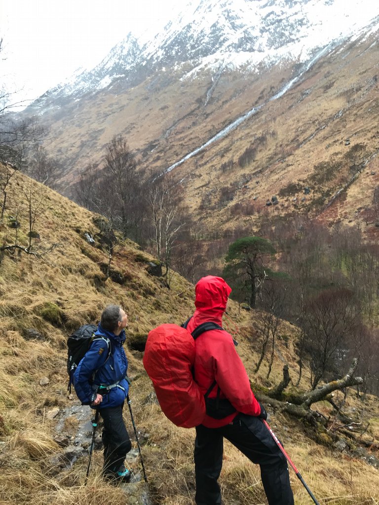
Weather and Ground Conditions : The MWIS forecast was for a changeable day with worsening conditions in the afternoon. Most of the walk would be on track so no boggy ground to contend with. Yet again a poor weather weekend impacting on the programmed route.
Walkers : Andrew, Jane and Rick
Distance : 10km
Ascent : 250m
Duration : 3 hours
The original programme was for the Glenfinnan Horseshoe - Sgurr nan Coireachan and Sgurr Thuilm. A decision had been made the previous evening that the programmed route was not feasible with the prospect of poor weather coming in during the afternoon. At least a lighter rucksack omitting the crampons and axe ☺
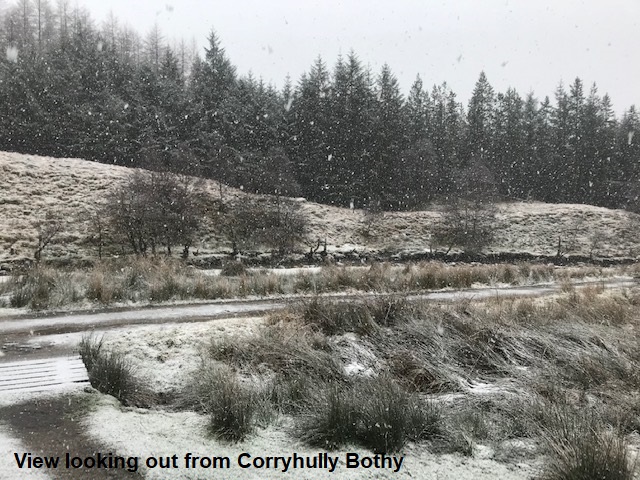
Setting off we were hopeful of a reasonable morning walking along the decent track. Without consciously realising it the weather started to deteriorate and very soon we were walking in damp drizzly conditions and I was regretting not putting on the rucksack cover. There were occasional glimpses of the ridge between the two Munros into Coire Thollaidh but they didn’t last long. We reached the small foot bridge over the river easily and we were soon heading back down the towards Glenfinnan. Large numbers of red deer were gathering around the feeding rings and were quite content for us to pass very close by. We stopped for an early elevenses break at the Corryhully Bothy (one of the very few with power) and through the window we saw the snow starting to fall heavily. By the time we had finished our food and drink the snow had eased off and we headed back to the car park at the National Trust Visitor Centre.
An easy and short walk by NHWC standards but at least we managed to get out.
Finished at the National Trust Visitor Centre Café – at least at this time of year a seat in the café is available, will be much busier as the year progresses and the number of tourists increase.
Jane
Saturday 8th February — Glen Roy
Weather and Ground Conditions : On arrival in Glen Roy conditions were poor; blustery with rain and hail but they improved significantly to give a decent dry day. A steady breeze with intermittent gusts but not sufficient to impede progress. Boggy in places but generally easy going along the track and path.
Walkers : Andrew, Chris, Jane
Distance : 16km
Ascent : 350m
Duration : 5:45 hours
Original programme for Beinn Chabhair was changed due to the poor weather and the prospect of a long car journey across Rannoch Moor didn’t seem a viable proposition.
Meeting up at the Woollen Mill a few alternatives were discussed as it was obvious it would have been unsafe and ultimately bonkers to think about doing any sizeable hill. We decided to head up to Roybridge and assess the situation once in that locality. Driving up Glen Roy as far as the lodge would give us the choice of a hill weather permitting or a decent low level walk further on up the glen. Sitting in the car with the hail and wind battering at the windows our enthusiasm was starting to wane. However, a slight break in the weather gave us the courage to step outside and chance our luck.
We headed along the path and whilst it was windy the worst of the rain held off and a decent day seemed likely. Sheltering behind a rocky outcrop we had an early food and drink stop and decided to carry on up the glen to the bothy at Luib Chonnal and then further on another couple of km to the watershed. Slowly the Parallel Lines disappeared as we gradually gained height and pretty soon we could see the bothy in the distance. The River Roy was fast flowing and spectacular in places especially over the Falls of Roy. Quite boggy in places we weaved our way along, veering away from the path to avoid the worst. The prospect of a dry wind free lunch as we approached the bothy was eagerly anticipated. Upon entering the bothy and the noise of footsteps from the upstairs indicated we weren’t the only ones seeking refuge. After lunch we looked for a crossing point on the river to carry on to the watershed but no-one was prepared to risk getting feet wet so we retreated, retracing our footsteps back to the lodge.
By NHWC standards a shorter day, but at least we got out there and were rewarded with decent weather and even a bit of sunshine. Certainly much better than anticipated.
The Stronlossit Inn was closed as was Darwins Rest café (up for sale ☹) so we headed to the Woollen Mill at Spean Bridge and indulged in hot drinks and a crumbly scone.
Jane



Sunday 2nd February — An Stac, Rois-Bheinn and Sgurr na Ba Glaise
Walkers : Alan, Andrew, Jane, Rick, Trl and a visitor
Distance : 14km
Ascent : 850m
Duration : 4:20 hours
The weather forecast did not encourage a long day out on the hills with snow and gusts of 40mph being promised from the late morning. As we parked the cars at the start of the walk at Lochailhort, the tops were clear with a very thin dusting of white but the wind was already picking up. However, with some optimism and hopes for at least being able to get up An Stac before the really bad weather set in, we all walked up the hydro track to the dam where we left the track and headed up the NE ridge of An Stac. It was wet underfoot and we managed to avoid most of the wind gusts which seemed to come through the Coire from an SE direction. The final steep climb up An Stac was covered in some new snow, mostly wet until the very top and summit where it was freezing. The wind gusts were very strong and they came in with snow, but we huddled behind some rocks for shelter for a very early lunch at 11.15am and stayed relatively snug. At this point we all agreed that going further to Rois-Bheinn and Sgurr na Ba Glaise was not something we particularly would enjoy and it was best left for a better weather day. The descent off the S ridge of An Stac was unpleasant in the strong gusts with the snow coming in a horizontal direction straight in our face. But we soon found the 559m col and turned ENE down the Coire a’Bhuiridh where eventually the wind was behind us and we found the track taking us back to the starting point. Despite the ‘interesting’ weather making the day a bit shorter than we usually enjoy, we were all pleased to have completed An Stac and having had a long morning out on the hills.
Trl
Saturday 25th January — Binnein Shuas and Binnein Shios
Weather and Ground Conditions : Windy but dry
Walkers : Gavin, Jane
Distance : 20km
Ascent : 1000m
Duration : 5:30 hours
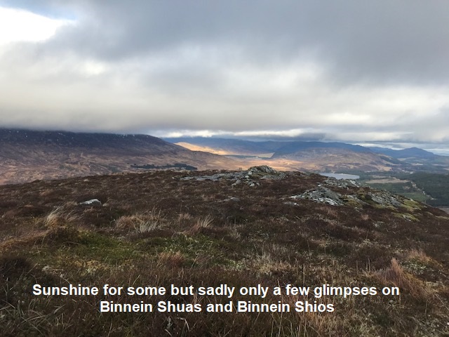
Only Jane and I turned out for this walk, which is a shame as the weather wasn't too bad: wind but no rain. We followed the track to Binnein Shuas turning off a little before the point that the programme suggested. The walk up was straightforward and not as wet underfoot as I expected. We found shelter behind the summit cairn for our first food break. The views were good in all directions and we could see sun on some of the surrounding hills. In particular there was sunshine above Aberarder of Creag Meagaidh and interestingly the sunshine stayed in the same place for hours. We unfortunately only got some very brief bursts of sunshine, but even that was appreciated.
Descending from Binnein Shuas was straightforward. If it had been less windy I would have liked to have had the time to explore the crags of the SE face. These crags are popular with climbers. We continued on to Binnein Shios. Its summit is at the far end of the ridge. Here we stopped for our second food break after finding some shelter behind a small rock outcrop.
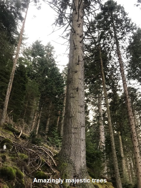
Instead of returning back to the col as the programme suggested we instead descended northwards to avoid descending directly into the wind. After arriving at the small col before Glac nan Cabar we turned WNW to descend steeply through some pleasant woodland. When the woodland turned to conifer forest I wondered if we had made a mistake descending this way, but the forest was easy enough to get through and it wasn't long before we got down to the track. Just before the track and along the track were some magnificent trees with trunks that must have been at least a metre in diameter. On one fallen tree I could easy count 100 rings and there were probably more.
Finally we followed the track back to our start point. We went home directly without stopping for coffee. A good short day, just a shame that there was only the two of us. And at last for the first time this year we managed to get to the summit of a hill without having to turn back due to adverse weather.
Gavin
Photos from Jane:

Sunday 19th January — Streap
Weather and Ground Conditions : Wind west backing southwesterly strengthening to 45mph in the afternoon. Bright with excellent visibility. Temperatures -1C rising to 2C with significant wind chill. Snow loss was considerable but with the recent lower temperatures remaining snowpack was frozen at higher levels and good accumulations over 850m.
Walkers : Alan, Andrew, Jane, Kevin
Distance : 22km
Ascent : 1700m
Duration : 9 hours
Setting off from the car park by Drochaid Sgainnir the group headed up through the forestry on a good track emerging at the base of the steep climb to Beinn an Tuim. With a healthy dose of ambition and the good weather forecast the group had decided to take in the two tops of Beinn an Tuim. Picking a way through the rocky outcrops progress seemed quite slow however it wasn’t too long before we arrived at the second summit in time for a well-earned food and drink stop at 11.00am.
The good visibility afforded excellent views of the route ahead. On the approach to Meall an Uillt Chaoil Andrew and Kevin elected to put on crampons with Jane and Alan resisting at this time. However, as the amount of soft snow reduced, giving way to more icy conditions it became necessary to crampon up before a break for lunch.
Still the weather was holding out with excellent views in all directions and we proceeded along the ridge towards Streap. Tantalisingly close, approximately 300m distant with less than 60m ascent to go the funnelling effect of the wind over the exposed rim of Coire Chùirn nearly took us off our feet. It proved too risky to go on and we decided to retreat.
Looking down into the corrie there didn’t seem to be a safe descent so we retraced our steps over Stob Coire nan Cearc and Meall an Uillt Chaoil which seemed even further on the way back than it did on the outward trip. Reaching the bealach at the head of Allt Coire an Tuim we headed down the slippery and very wet hillside finding the bridge at the head of the path in Gleann Dubh Lighe.
We followed the path passing the bothy and Drimsallie Mill back to the car park. You can really feel the benefit of the ever lengthening day. In only two or three weeks sunset is now over half an hour later which certainly helped us on our long walk out.
A long day and a bit disappointing that we didn’t achieve the summit but I’m pretty sure a day during the summer adding Streap into the Corryhully Horseshoe may well be on the cards.
Noting the lateness of our finish and how The Moorings seem to prefer dinner guests after 5pm we decided to take our usual coffee at Costa on the journey back to the Woollen Mill in Fort William.
Jane

Tuesday 14th January — Ben Tee
Weather and Ground Conditions : Wind SW 50-80mph, squally snow showers. Snow cover from 280m upwards. Ground saturated. Fierce downdraughts on lee slopes driving spindrift composed of fine ice crystals.
Walkers : Andrew, Jane, Rick
Distance : 11km
Ascent : 420m
Duration : 3:10 hours
Followed the route in the programme as far as the Allt na Cailliche fordex. Took shelter in forest near boundary for elevenses. Decided to abort due to inclement weather. On the return, we diverted from the outward route on to paths created or improved as part of a waymarked network of forest walks.
Finished at the Glen Garry Hotel. Served with hot coffee, promptly made, in front of wood burning stove. We were the only customers.
Andrew
Sunday 12th January — Stob Dubh and Beinn Ceitlein
Weather and Ground Conditions : Strong SW wind bearing heavy rain showers, snow above 300m. Occasional, but brief sunny intervals. Wet snow cover lower down consolidating higher up with falling temperature and rising wind speed. Ground in glens saturated, burns in spate and overflowing.
Walkers : Adrian, Andrew, Trl
Distance : 13km
Ascent : 900m
Duration : 5:30 hours
Stob Dubh and Beinn Ceitlein was the route suggested in lieu of Beinn Challium for 11th January. The forecast for Saturday was so bad that the day of the walk was changed as well as the route – to Sunday. We left a car at the Alltchaorunn Bridge and continued to start the walk at the Coileitir track. At Glenceitlein bothy we started up on the crest of Stob Dubh’s SW ridge. This was easy on a faint path up to the snow-line, but slippery – wet snow on grass thereafter. None of us had crampons and only one had an ice axe. The ridge got steadily steeper as we circumvented the first and second rocky outcrops. Rocks could be detected below the snow, which had covered all traces of any path. At 1140, a squall arrived, heavy with snow and we took shelter in a shallow couloir just below the 600m contour at a third rock outcrop. With visibility lost, it wasn’t obvious how this was to be negotiated. However, it was obvious from the map that it would be steeper than the terrain we had already climbed, - many contours on the LR map were conspicuous by their absence. Some discussion ensued, during which the weather showed no sign of abating, and we eventually agreed to back off.
Once down below the first rock outcrop, the sun came out. We decided to head SE up Glen Ceitlein to Lon Tubhaidh, then NW up to the watershed. A long, boggy plod next, across the headwaters of the Allt a’ Chaorainn during another squally snow shower. We followed it down, at a distance from its developing gorge. Eventually we picked up a bulldozed, but otherwise unfinished track leading to the bridge just above the Alltchaorunn cottage. Thence to the main road to retrieve Trl’s car.
Finished at the Kingshouse Hotel, where we waited too long for less than piping hot coffee.
NOTE: The Ballachulish health walk group went here the following day and avoided this problem by calling in at the start of their walk to warn them with numbers and expected time, then posting a member at the bar to retrieve the drinks as they were made.
Andrew